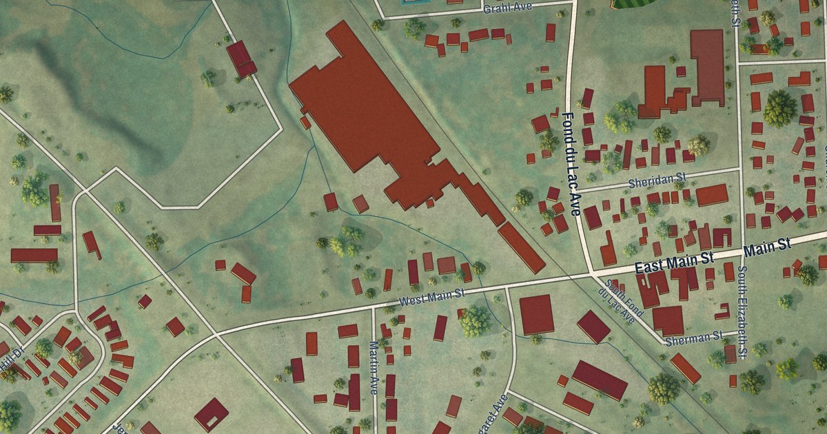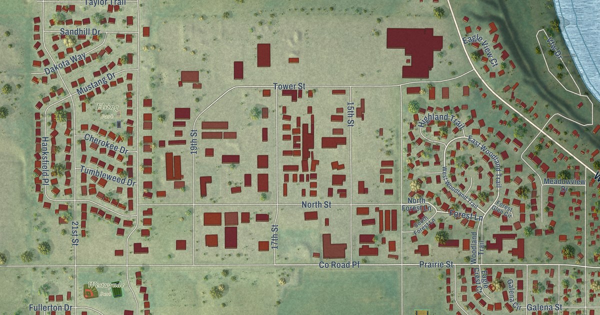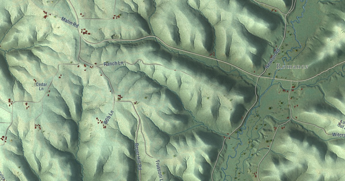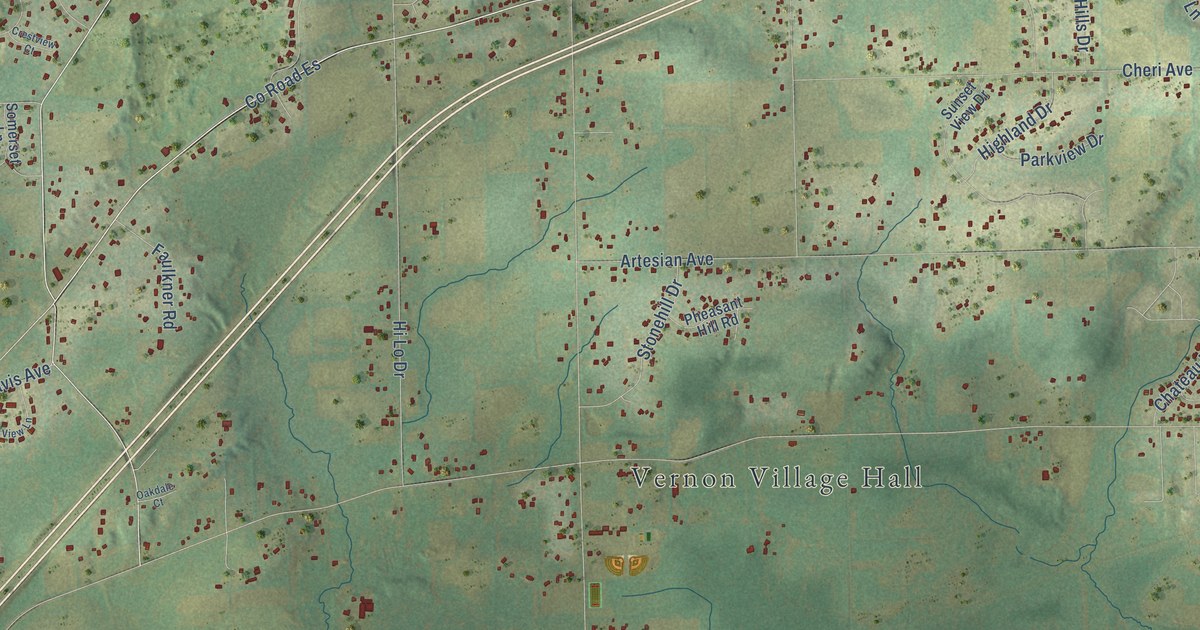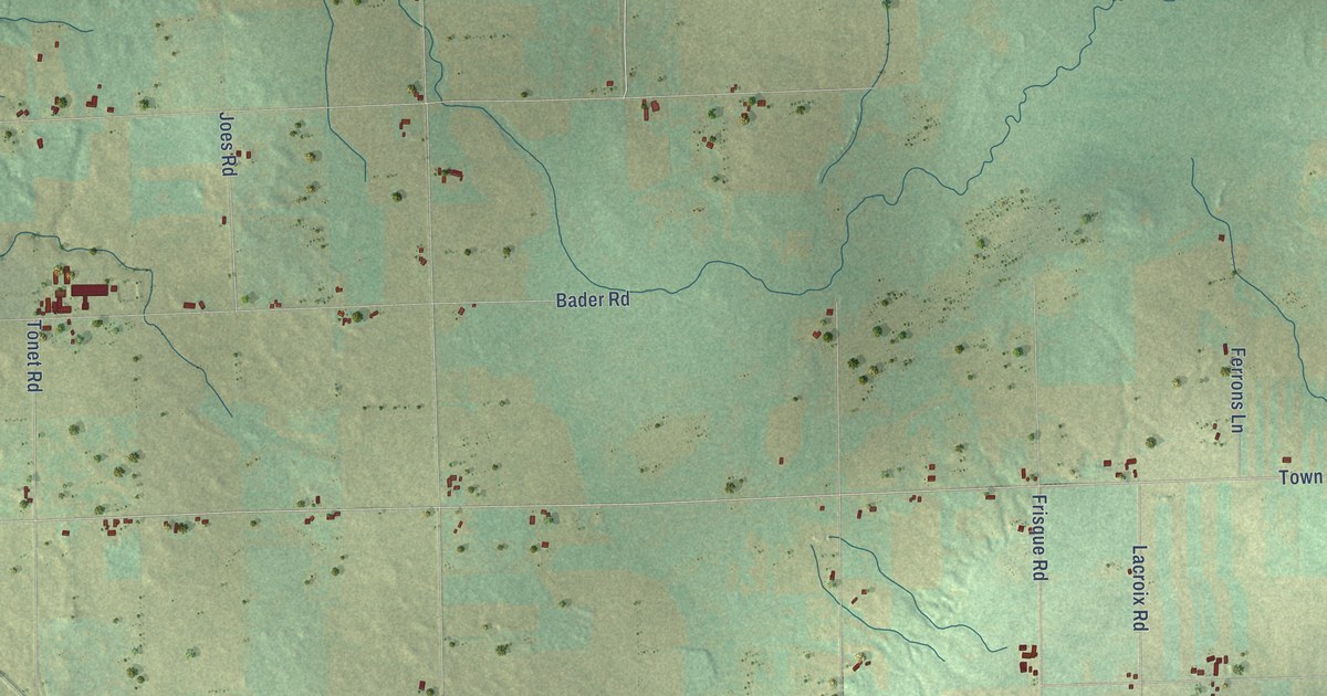
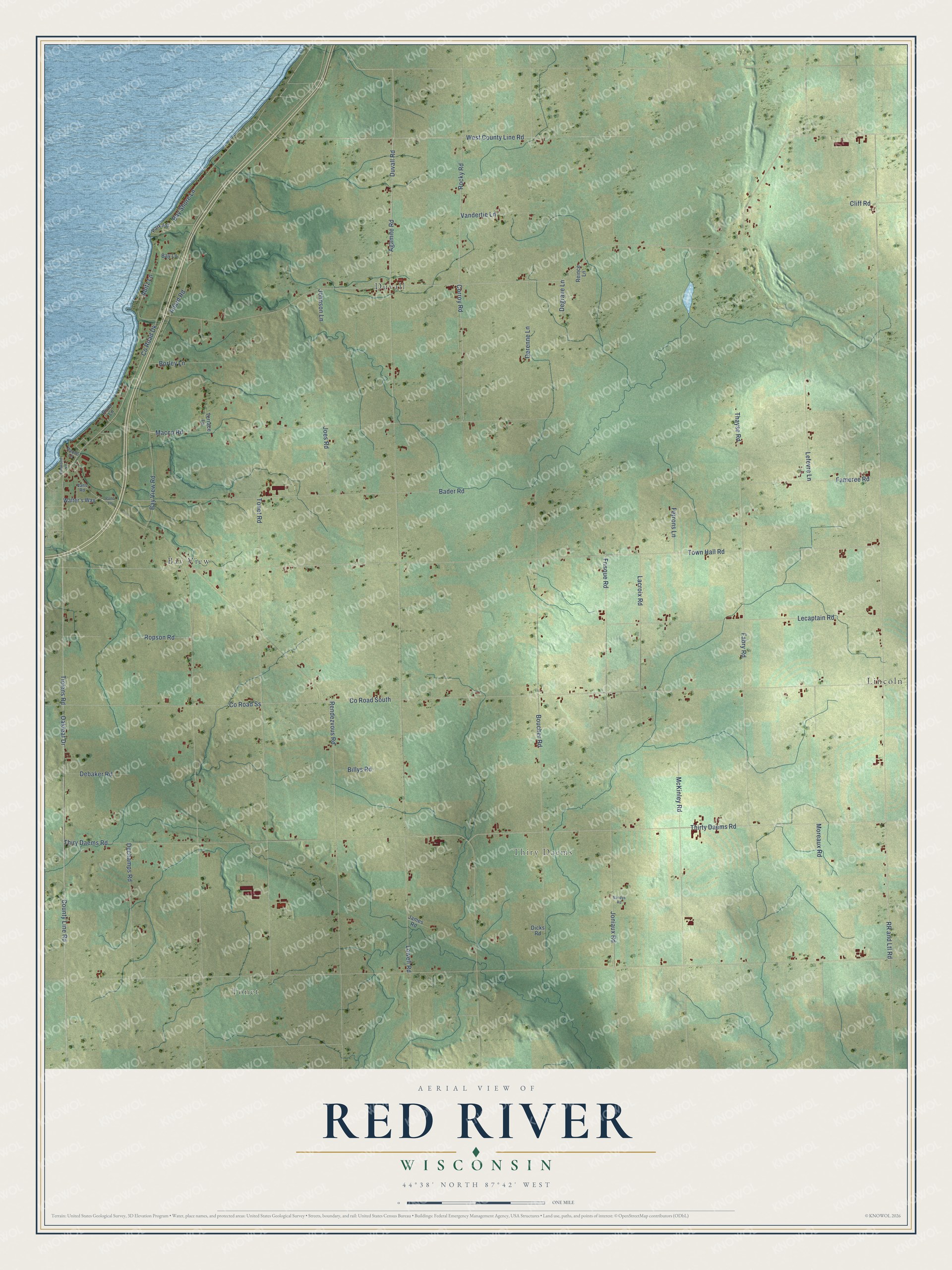
This beautifully detailed map of Red River, Wisconsin was created in 2026 using aerial imagery combined with modern topographical, census, street and landmark data. It's a modern aerial view of Red River in Kewaunee County, Wisconsin, that combines modern data with a vintage aesthetic. The roads feature printed names, and if you look closely you can find your exact house accurately shown in its correct location.
Explore an aerial view of Red River, Wisconsin
On this map you'll find Tonet, Thiry Daems, Bay View, Duvall, Lincoln, Agamite Road, Duvall Road, Tielens Road, County Line Road, Oakleaf Drive, Co Road Ss, Co Road Dk, and more. Each red shape is a building, so zoom in on the preview and look for yours.
Red River is a town in Kewaunee County. The Census Bureau counted 1,374 people here in 2020. The map prints the town name in its title panel, with the coordinates below it.
Take a closer look at the Red River map
Names on this map
These names are printed on this map.
Places: Tonet, Thiry Daems, Bay View, Duvall and Lincoln.
Streets and roads: Agamite Road, Duvall Road, Tielens Road, County Line Road, Oakleaf Drive, County Road Ss, County Road Dk, Rocky Road, West County Line Road, County Road South, Town Hall Road, Bay Shore Lane.
More street names, A to Z
Abitz Lane, Allard Road, Bader Road, Bay Lane, Bay View Road, Billys Road, Borley Lane, Boucher Road, Cliff Road, Corroy Road, Debaker Road, Dechamps Road, Degrave Lane, Derenne Lane, Dicks Road, Elmwood Lane, Fabry Road, Fameree Road, Ferrons Lane, Frisque Road, James Road, Joes Road, Johnson Lane, Joniaux Road, Lacroix Road, Lecaptain Road, Lefevre Lane, Lowell Road, Macco Road, McKinley Road, Moreaux Road, Paque Lane, Park Road, Pond Lane, Reince Lane, Rendezvous Road, River Lane, Ropson Road, RR and Ltl Road, Sandys Road, Terrace Lane, Thayse Road, Thirty Daems Road, Thiry Daems Road, Tonet Road, Vandertie Lane, Vans Road, Walter's Way.
Created by KNOWOL in 2026. The buildings are small red shapes, the roads carry their printed names, and shaded relief shows the shape of the land. The title panel reads "AERIAL VIEW OF RED RIVER, WISCONSIN" with 44°38' NORTH 87°42' WEST.
It suits a den, a classroom or a front hall, and it makes a gift for anyone with Red River roots. Open the preview and find the block you know. See sizes and frames for the Red River map.