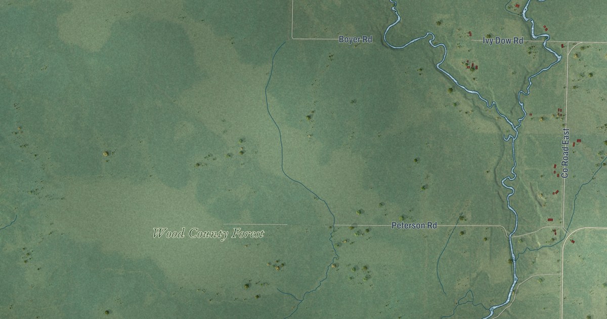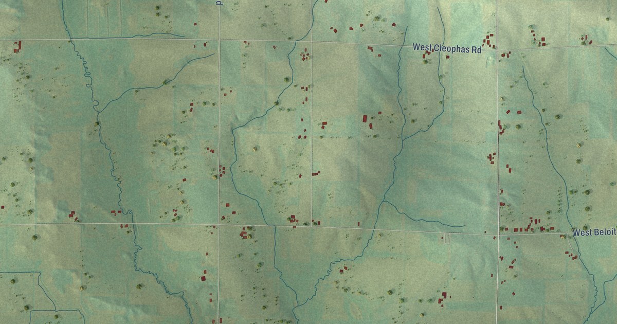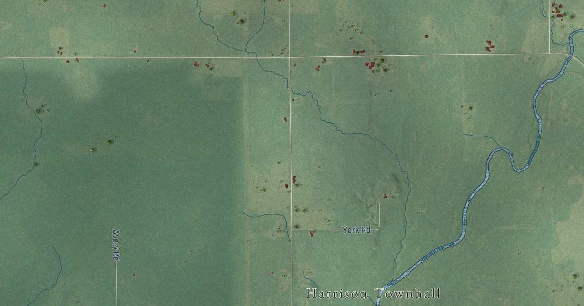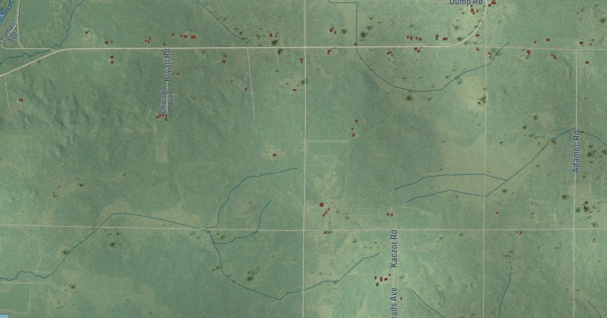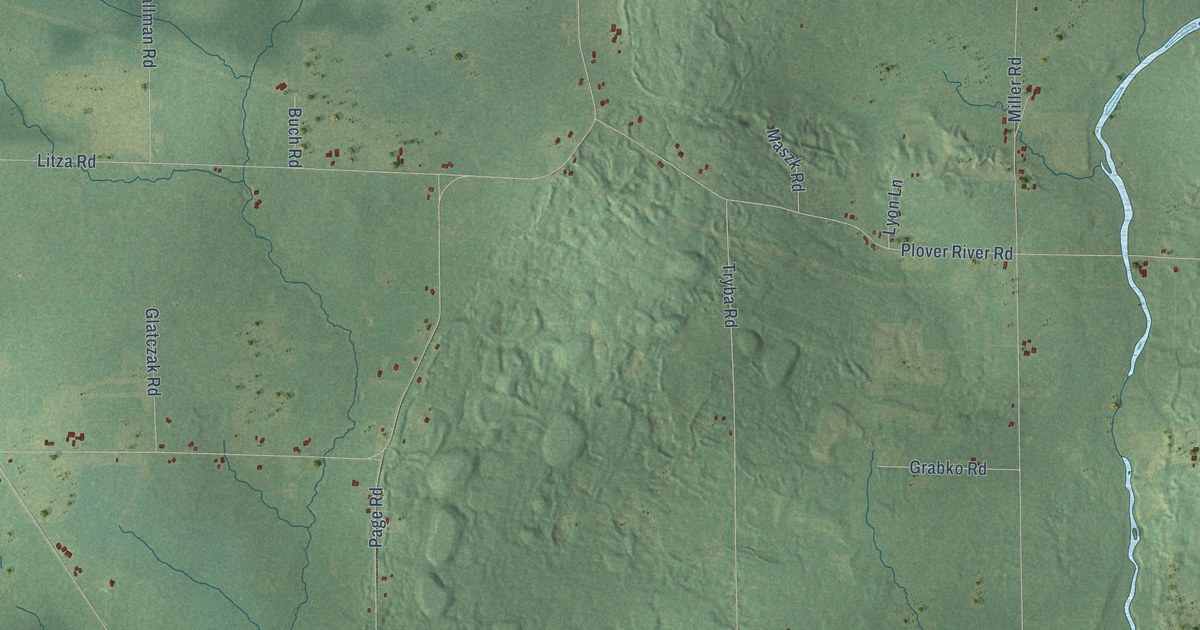
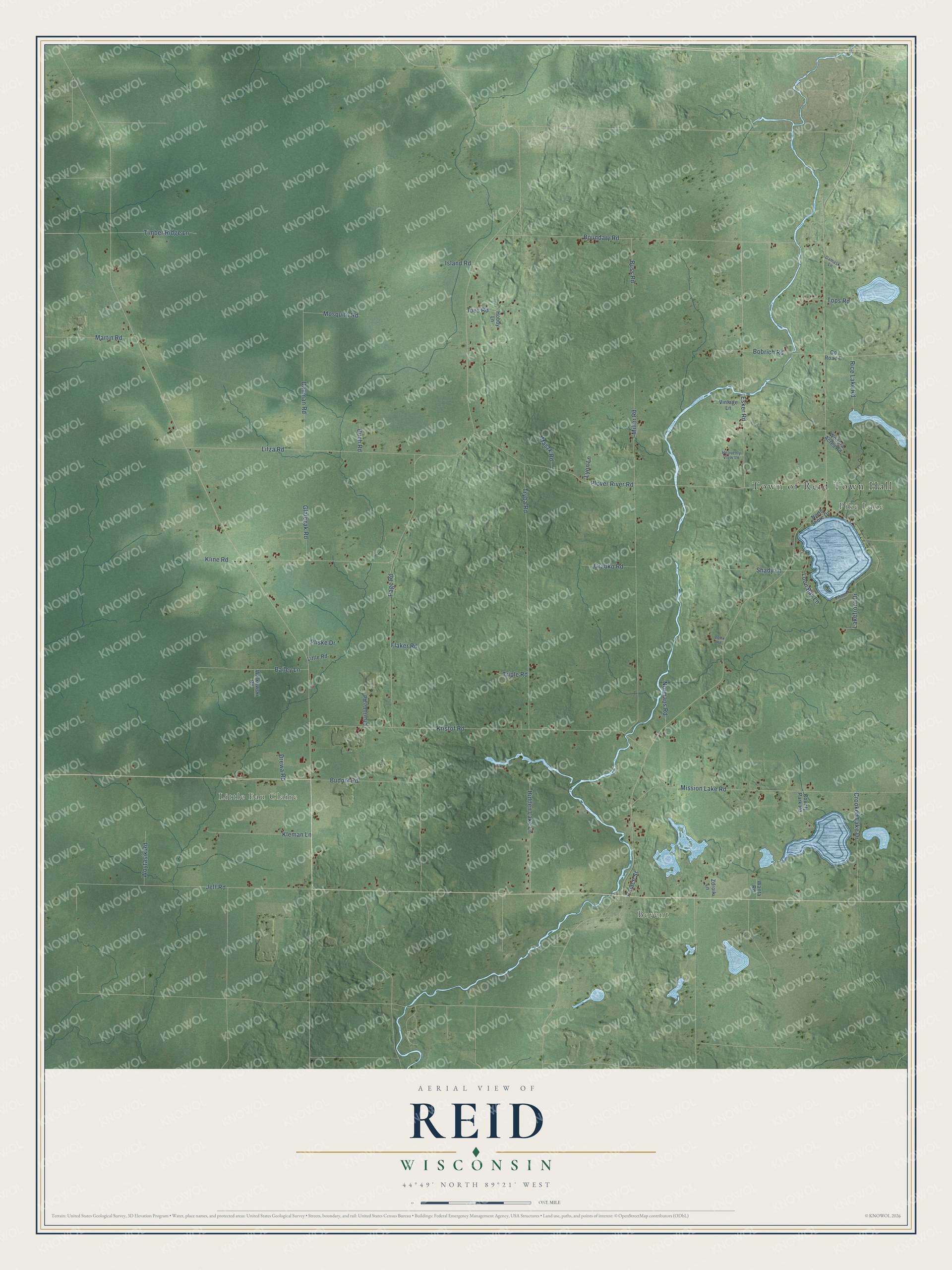
This beautifully detailed map of Reid, Wisconsin was created in 2026 using aerial imagery combined with modern topographical, census, street and landmark data. It's a modern aerial view of Reid in Marathon County, Wisconsin, that combines modern data with a vintage aesthetic. The roads feature printed names, and if you look closely you can find your exact house accurately shown in its correct location.
Explore an aerial view of Reid, Wisconsin
On this map you'll find Town of Reid Town Hall, Bevent, Pike Lake, Little Eau Claire, Plover River Road, Miller Road, Kristof Road, Boundary Road, Tryba Road, Litza Road, Esker Road, Jeff Road, and more. Each red shape is a building, so zoom in on the preview and look for yours.
Reid is a town in Marathon County. The Census Bureau counted 1,186 people here in 2020. The map prints the town name in its title panel, with the coordinates below it.
Take a closer look at the Reid map
Names on this map
These names are printed on this map.
Places: Town of Reid Town Hall, Bevent, Pike Lake and Little Eau Claire.
Streets and roads: Plover River Road, Miller Road, Kristof Road, Boundary Road, Tryba Road, Litza Road, Esker Road, Jeff Road, Mission Lake Road, Budnik Road, Page Road, Dallman Road.
More street names, A to Z
Bailey Lane, Bobrich Road, Bronk Road, Buch Road, Buss Road, Charlotte Road, County Park Road, County Road II, Crooked Lake Drive, Damask Lane, Drewa Road, Flaker Road, Glatczak Road, Grabko Road, Heavenly View Lane, Hidden Lake Lane, Hobby Lane, Island Road, Joes Road, Kleman Lane, Kline Road, Lakefront Drive, Lakeside Lane, Little Road, Loon Bay Lane, Lyon Lane, Martin Road, Maszk Road, Mosquito Road, Normans Road, North Shore Drive, Palace Street, Pliske Drive, Rice Lake Road, Shady Lane, Timber Ridge Lane, Tops Road, Triple Road, Vintage Lane, Walkowski Road, Wanta Road, Wodora Acres Road, Woytasik Road, Zdroik Lane.
Created by KNOWOL in 2026. The buildings are small red shapes, the roads carry their printed names, and shaded relief shows the shape of the land. The title panel reads "AERIAL VIEW OF REID, WISCONSIN" with 44°49' NORTH 89°21' WEST.
It suits a den, a classroom or a front hall, and it makes a gift for anyone with Reid roots. Open the preview and find the block you know. See sizes and frames for the Reid map.