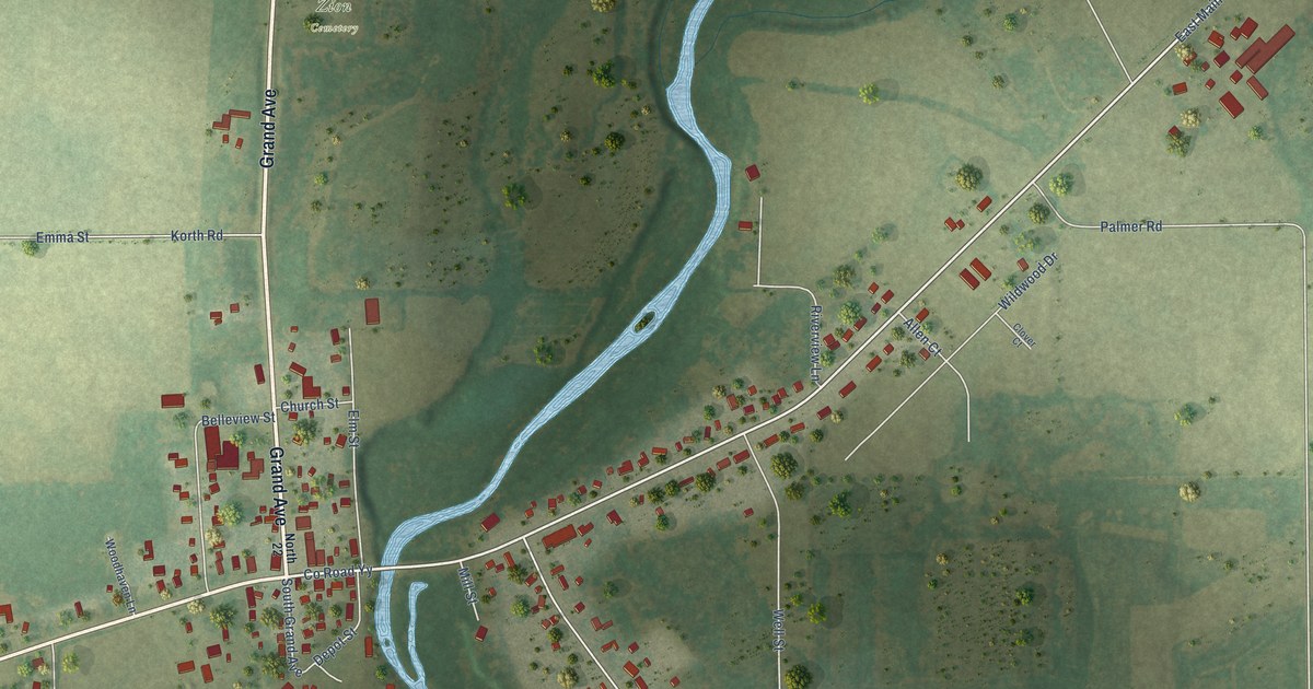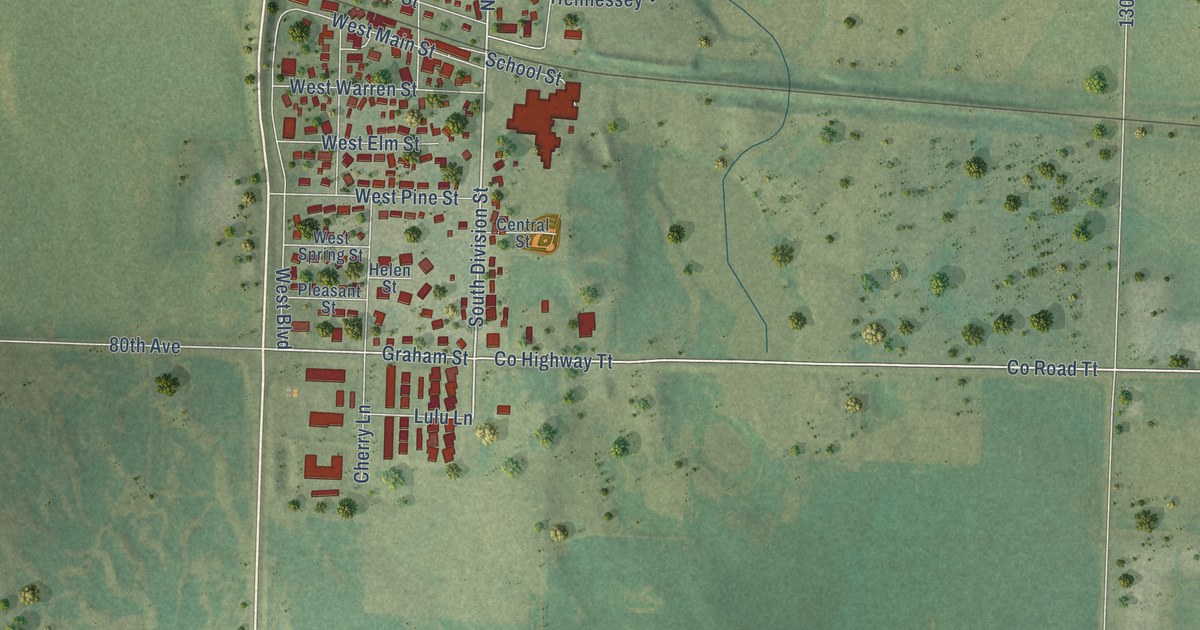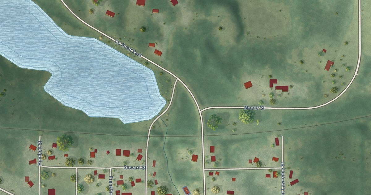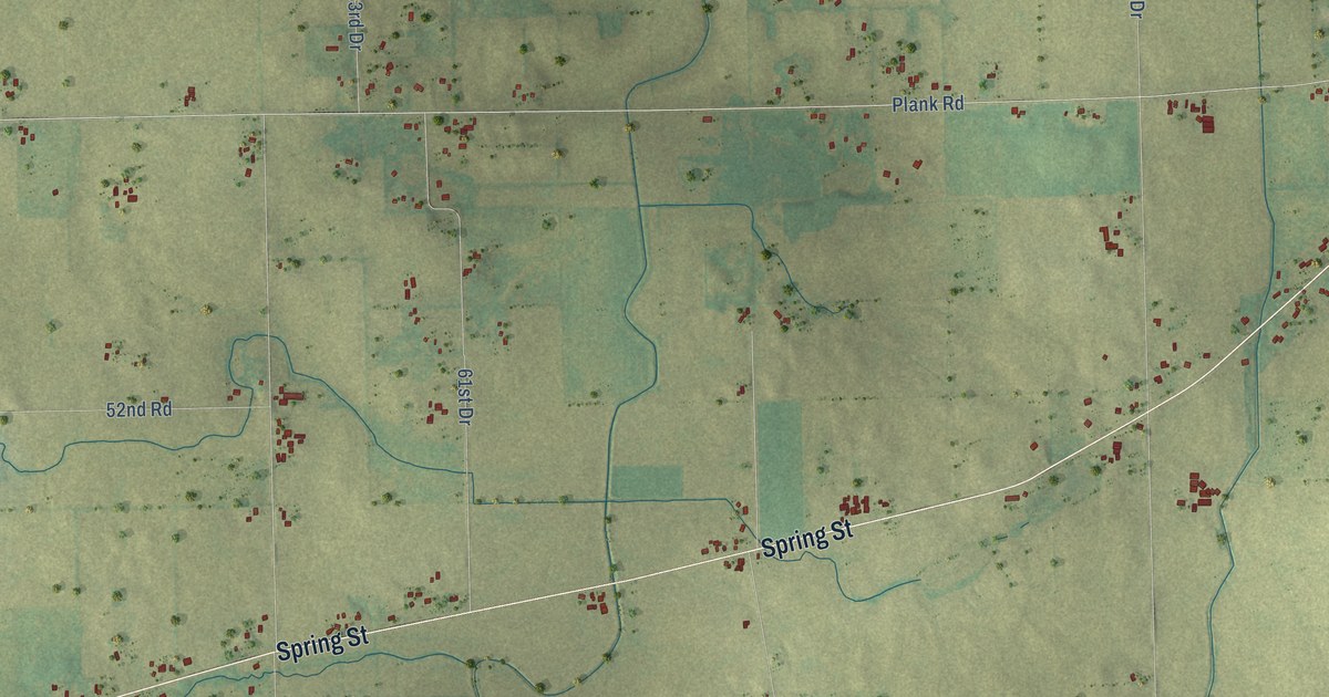
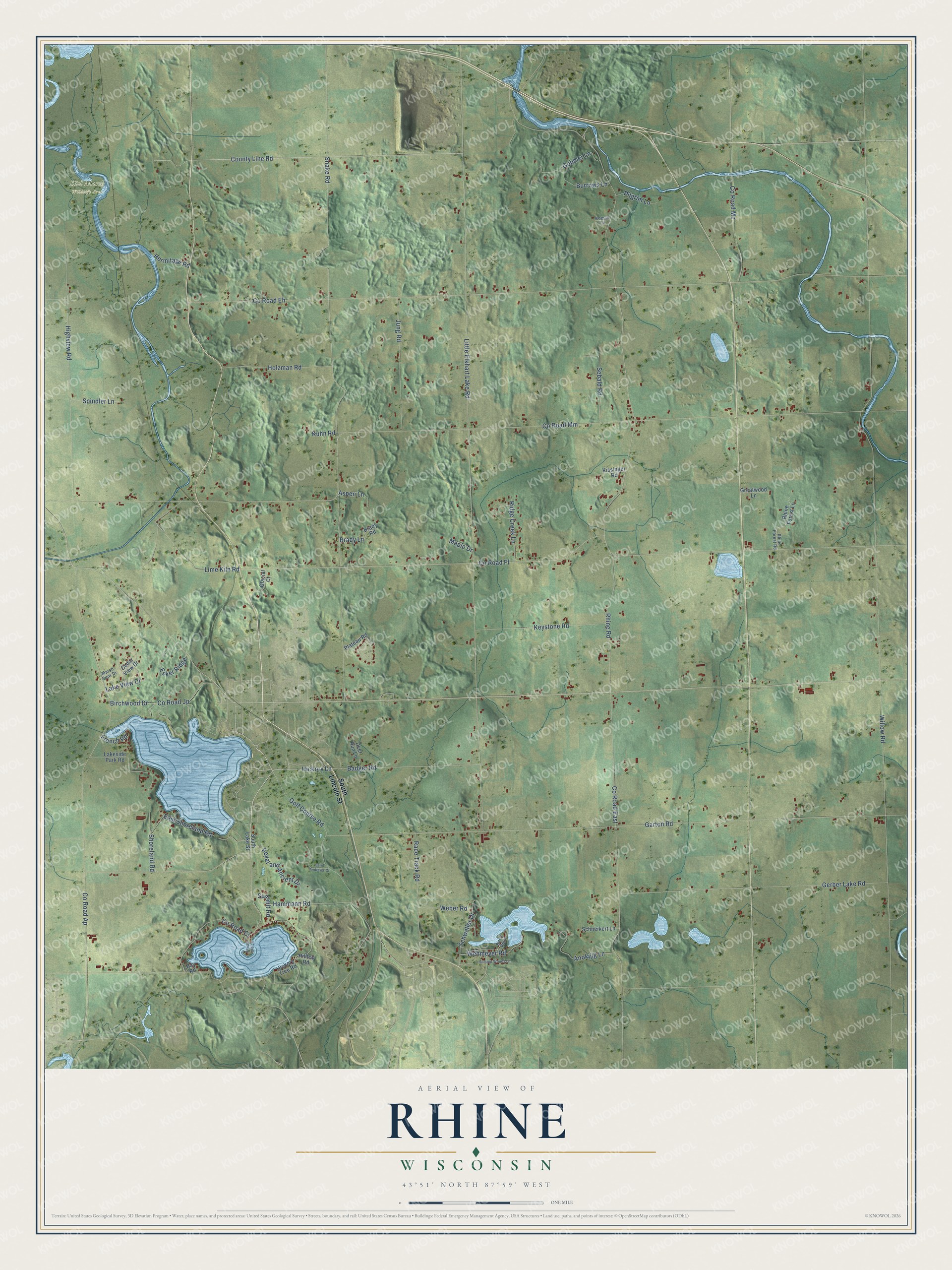
This beautifully detailed map of Rhine, Wisconsin was created in 2026 using aerial imagery combined with modern topographical, census, street and landmark data. It's a modern aerial view of Rhine in Sheboygan County, Wisconsin, that combines modern data with a vintage aesthetic. The roads feature printed names, and if you look closely you can find your exact house accurately shown in its correct location.
Explore an aerial view of Rhine, Wisconsin
On this map you'll find Kiel Marsh Wildlife Area, Hickory Lane, Lime Kiln Road, Co Road Ff, Snake Road, Rhine Road, County Line Road, Co Road Mm, Willow Road, Co Road Eh, Little Elkhart Lake Road, Garton Road, and more. Each red shape is a building, so zoom in on the preview and look for yours.
Here is a piece of Rhine history, in the words of the record. The History of Sheboygan County puts it this way: "The town of Rhine was settled by a large colony of Rhinelanders from whence it took its name."
Rhine is a town in Sheboygan County. The Census Bureau counted 2,139 people here in 2020.
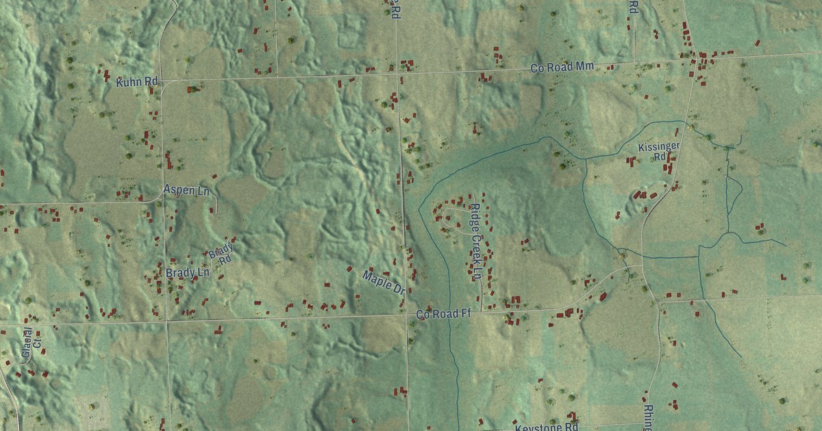
Take a closer look at the Rhine map
Names on this map
These names are printed on this map.
Places: Kiel Marsh Wildlife Area.
Streets and roads: Hickory Lane, Lime Kiln Road, County Road Ff, Snake Road, Rhine Road, County Line Road, County Road Mm, Willow Road, County Road Eh, Little Elkhart Lake Road, Garton Road, Highview Road.
More street names, A to Z
Anokijig Lane, Aspen Lane, Badger Road, Bay Road, Birch Point, Birchwood Drive, Brady Lane, Brady Road, Burrows Lane, Cedar View Drive, County Road Ap, County Road Cj, County Road East, County Road Jp, County Road Mc, Crystal Isle Lane, Deer Run Lane, East Shoreland Road, Esker Ridge, French Road, Gerber Lake Road, Glacial Court, Gobbler Lane, Golf Course Road, Greatwood Lane, Hammann Road, Hermitage Road, Hickory Tree Road, Hilltop Road, Holzman Road, Jung Road, Keystone Road, Kissinger Road, Koeser Lane, Kuhn Road, Lakeside Park Road, Lake View Drive, Maple Drive, Marsh View Drive, Pilgrim Lane, Plateau Road, Race Track Road, Rhine Forest Lane, Rhine Forest Road, Ridge Creek Lane, Royal and Ancient Drive, Saint Andrews Court, Schneikert Lane, Schwaller Drive, Sebald Road, Shoreland Road, South Lake Street, South Lincoln Street, Spindler Lane, Summit Road, Summit Woods Lane, Weber Road, Wehmeyer Road.
Created by KNOWOL in 2026. The buildings are small red shapes, the roads carry their printed names, and shaded relief shows the shape of the land. The title panel reads "AERIAL VIEW OF RHINE, WISCONSIN" with 43°51' NORTH 87°59' WEST.
It suits a den, a classroom or a front hall, and it makes a gift for anyone with Rhine roots. Open the preview and find the block you know. See sizes and frames for the Rhine map.