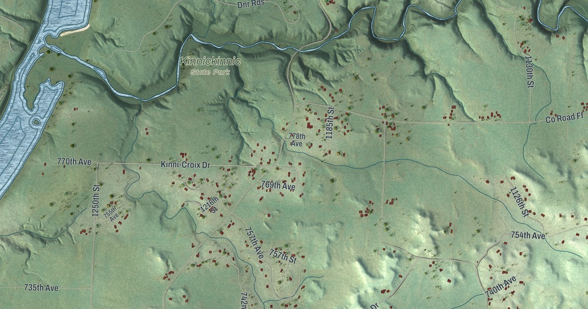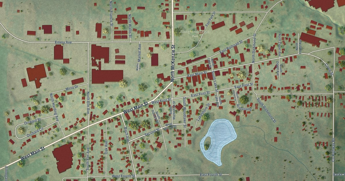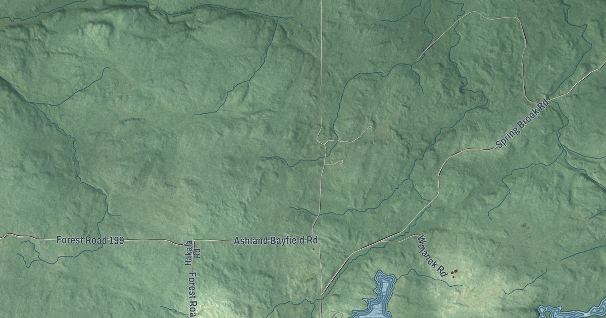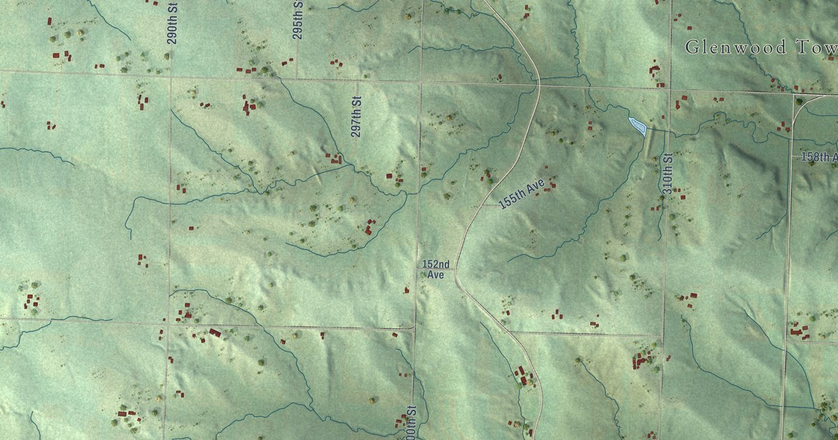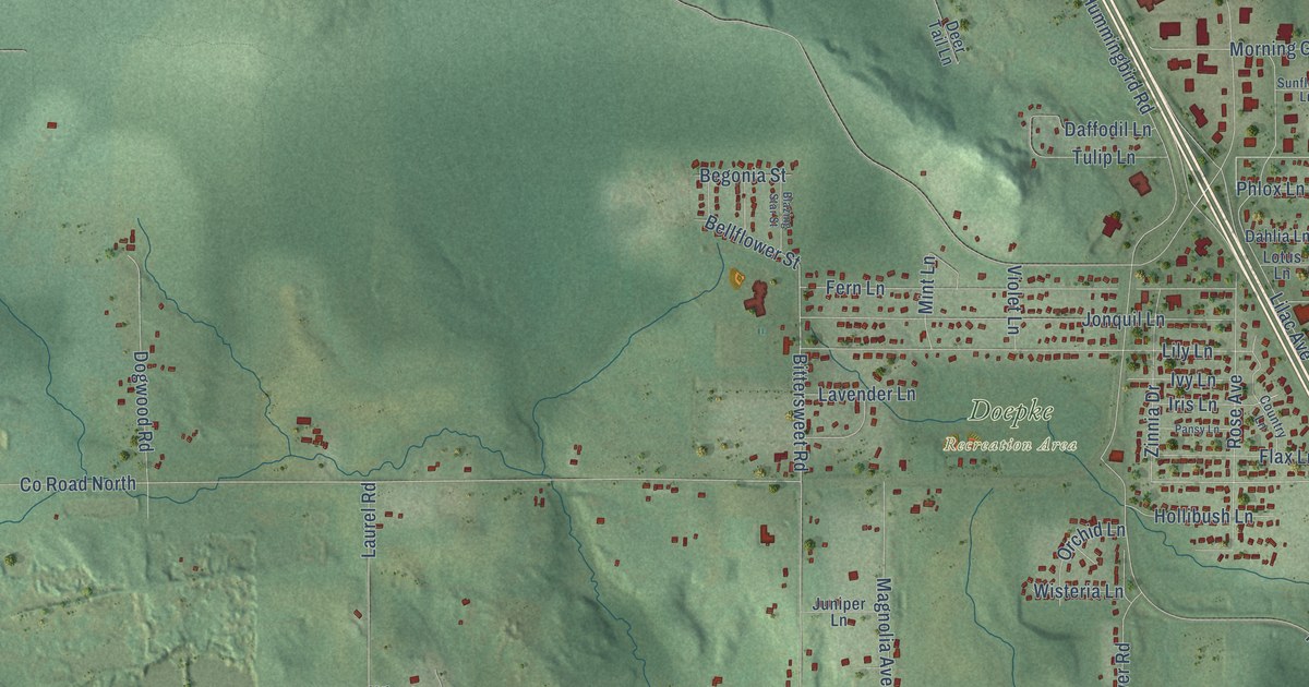
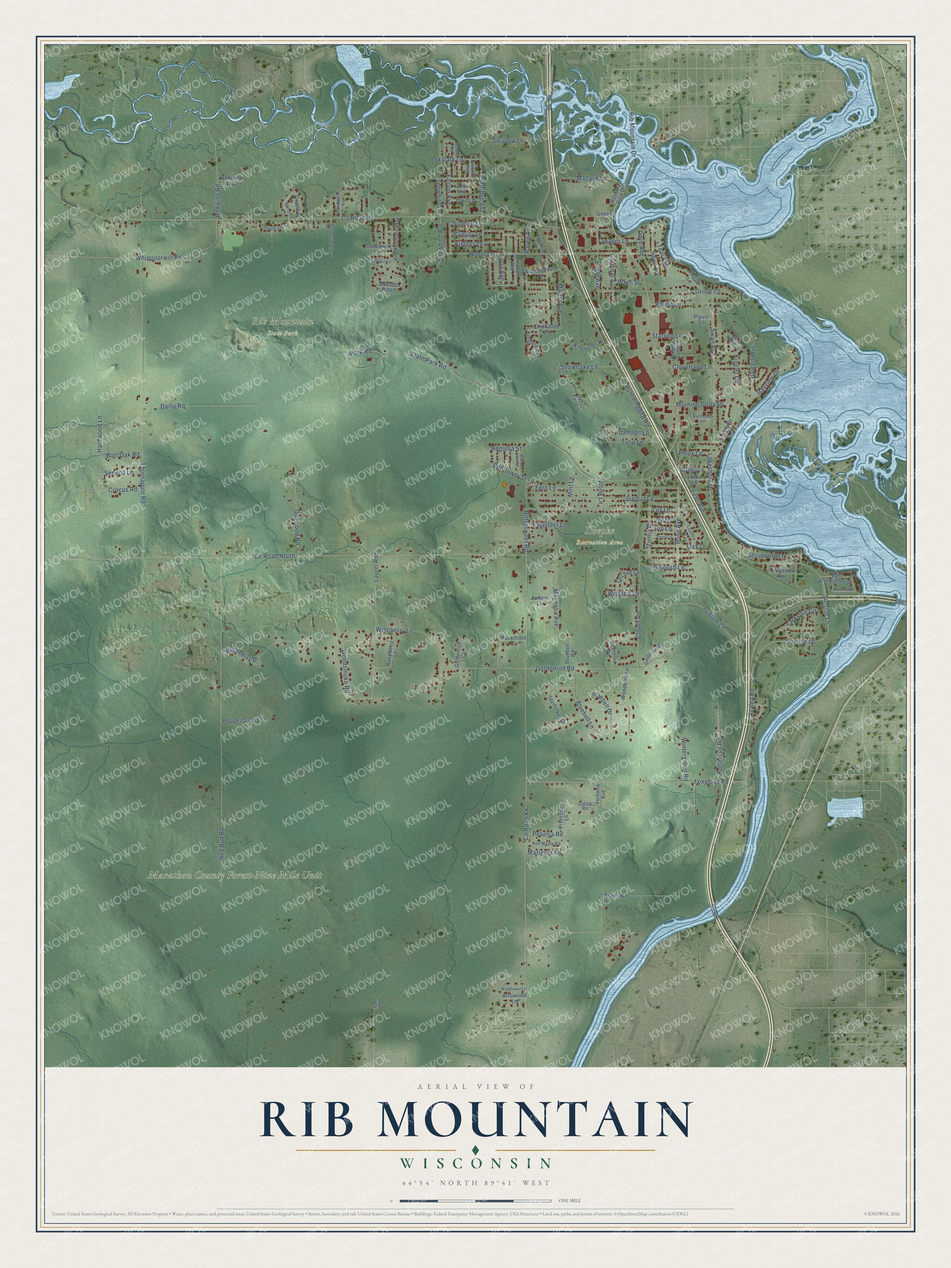
This beautifully detailed map of Rib Mountain, Wisconsin was created in 2026 using aerial imagery combined with modern topographical, census, street and landmark data. It's a modern aerial view of Rib Mountain in Marathon County, Wisconsin, that combines modern data with a vintage aesthetic. The roads feature printed names, and if you look closely you can find your exact house accurately shown in its correct location.
Explore an aerial view of Rib Mountain, Wisconsin
On this map you'll find Doepke Recreation Area, Marathon County Forest-Nine Mile Unit, Rib Mountain State Park, Sunrise Lane, Tulip Lane, Sunrise Drive, Swallow Lane, Co Road North, Falcon Avenue, Bittersweet Road, Co Road Nn, Hummingbird Road, and more. Each red shape is a building, so zoom in on the preview and look for yours.
Rib Mountain is a village in Marathon County. The Census Bureau counted 6,061 people here in 2020. The map prints the town name in its title panel, with the coordinates below it.
Take a closer look at the Rib Mountain map
Names on this map
These names are printed on this map.
Places: Doepke Recreation Area, Marathon County Forest-Nine Mile Unit and Rib Mountain State Park.
Streets and roads: Sunrise Lane, Tulip Lane, Sunrise Drive, Swallow Lane, County Road North, Falcon Avenue, Bittersweet Road, County Road Nn, Hummingbird Road, County Road Kk, Rib Mountain Drive, Thornapple Road.
More street names, A to Z
Arrowood Lane, Aster Road, Azalea Road, Bayview Drive, Begonia Street, Bellflower Street, Blazing Star Street, Bluebell Drive, Bluebell Lane, Bluebell Road, Bluebird Lane, Bluegill Avenue, Bluejay Lane, Boulder Ridge, Buckthorn Court, Burr Oak Road, Buttercup Road, Canvasback Lane, Cardinal Avenue, Chickadee Lane, Cloverland Lane, Clover Road, Country Lane, Crane Drive, Crocus Road, Daffodil Lane, Dahlia Lane, Daisy Road, Deer Tail Lane, Dogwood Road, Dove Avenue, Eagle Avenue, East Lakeshore Drive, Falcon Way, Fawn Road, Fern Lane, Firethorn Road, Flax Lane, Foxglove Road, Goldenrod Circle, Goldenrod Court, Goldenrod Road, Gooseberry Drive, Goose Lane, Grouse Lane, Hardwood Lane, Heron Avenue, Hollibush Lane, Indigo Drive, Iris Lane, Ivy Lane, Jonquil Lane, Juniper Lane, Kildeer Lane, Kingbird Avenue, Kingfisher Lane, Kinglet Circle, Lakeshore Drive, Larkspur Circle, Laurel Road, Lavender Lane, Lilac Avenue, Lily Lane, Lodgepole Avenue, Lotus Lane, Lupine Road, Macaw Avenue, Magnolia Avenue, Mallard Lane, Marigold Road, Martin Avenue, Mint Lane, Morning Glory Lane, Mountain Lane, Nuthatch Lane, Orchid Lane, Oriole Lane, Owl Lane, Pansy Lane, Paramount Drive, Park Road, Parrot Lane, Partridge Avenue, Peacock Avenue, Pepperbush Lane, Petunia Road, Pheasant Avenue, Phlox Lane, Pine Siskin Lane, Pintail Lane, Plover Lane, Primrose Lane, Quail Avenue, Raspberry Lane, Raven Avenue, Red Bud Road, Red Maple Road, Redwing Road, Redwing Way, Rib Mountain Way, Robin Lane, Rookery View Drive, Rose Avenue, Sandpiper Avenue, Seneca Lane, Shoreland Lane, Skylark Lane, Snowbird Avenue, Snowbird Lane, Snowflake Lane, Springbrook Drive, Starflower Drive, Starling Lane, State Park Road, Sunbird Lane, Sunflower Lane, Swan Avenue, Tanager Lane, Teal Avenue, Trillium Lane, Verbena Avenue, Violet Lane, Whippoorwill Road, Windflower Lane, Wineberry Lane, Wintergreen Road, Wisteria Lane, Woodbine Lane, Wood Duck Lane, Woodsmoke Road, Woodthrush Lane, Wren Street, Zinnia Drive.
Created by KNOWOL in 2026. The buildings are small red shapes, the roads carry their printed names, and shaded relief shows the shape of the land. The title panel reads "AERIAL VIEW OF RIB MOUNTAIN, WISCONSIN" with 44°54' NORTH 89°41' WEST.
It looks right in a kitchen, an office or a den, and it's a gift for anyone who grew up in Rib Mountain or moved away. Open the preview and find your street. See sizes and frames for the Rib Mountain map.