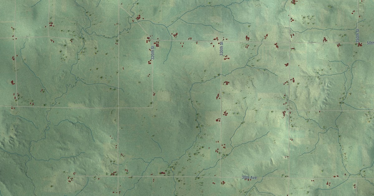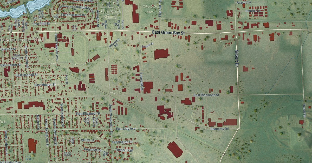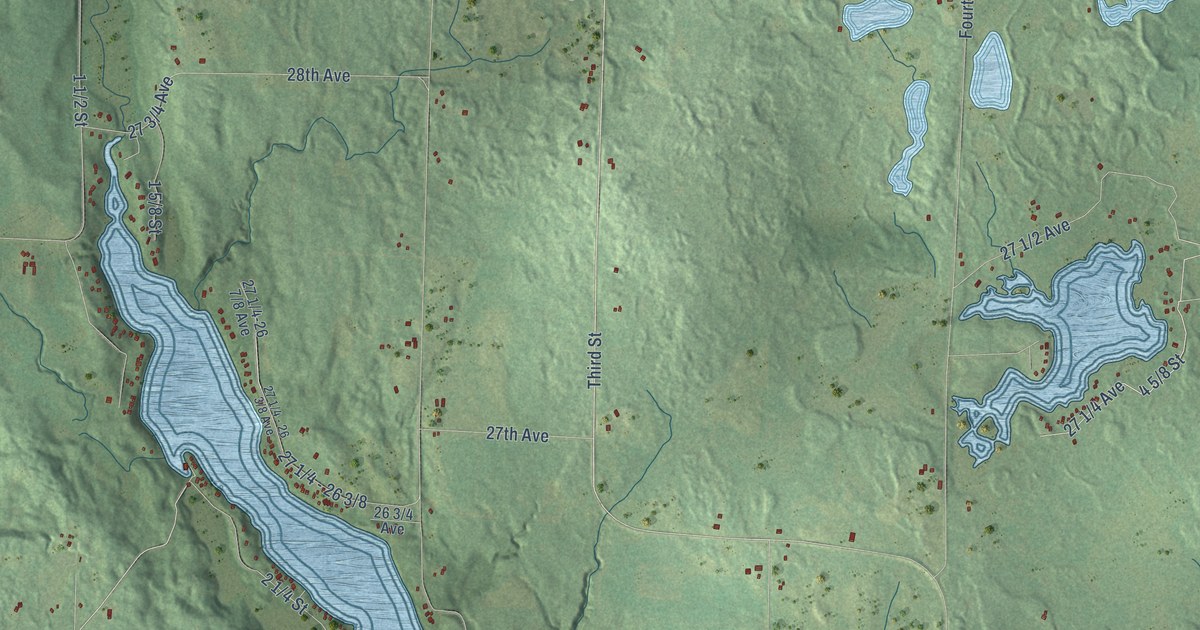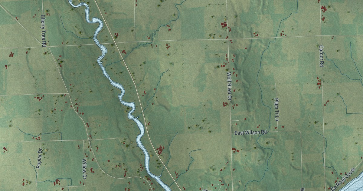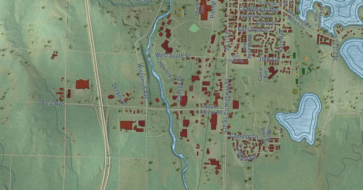
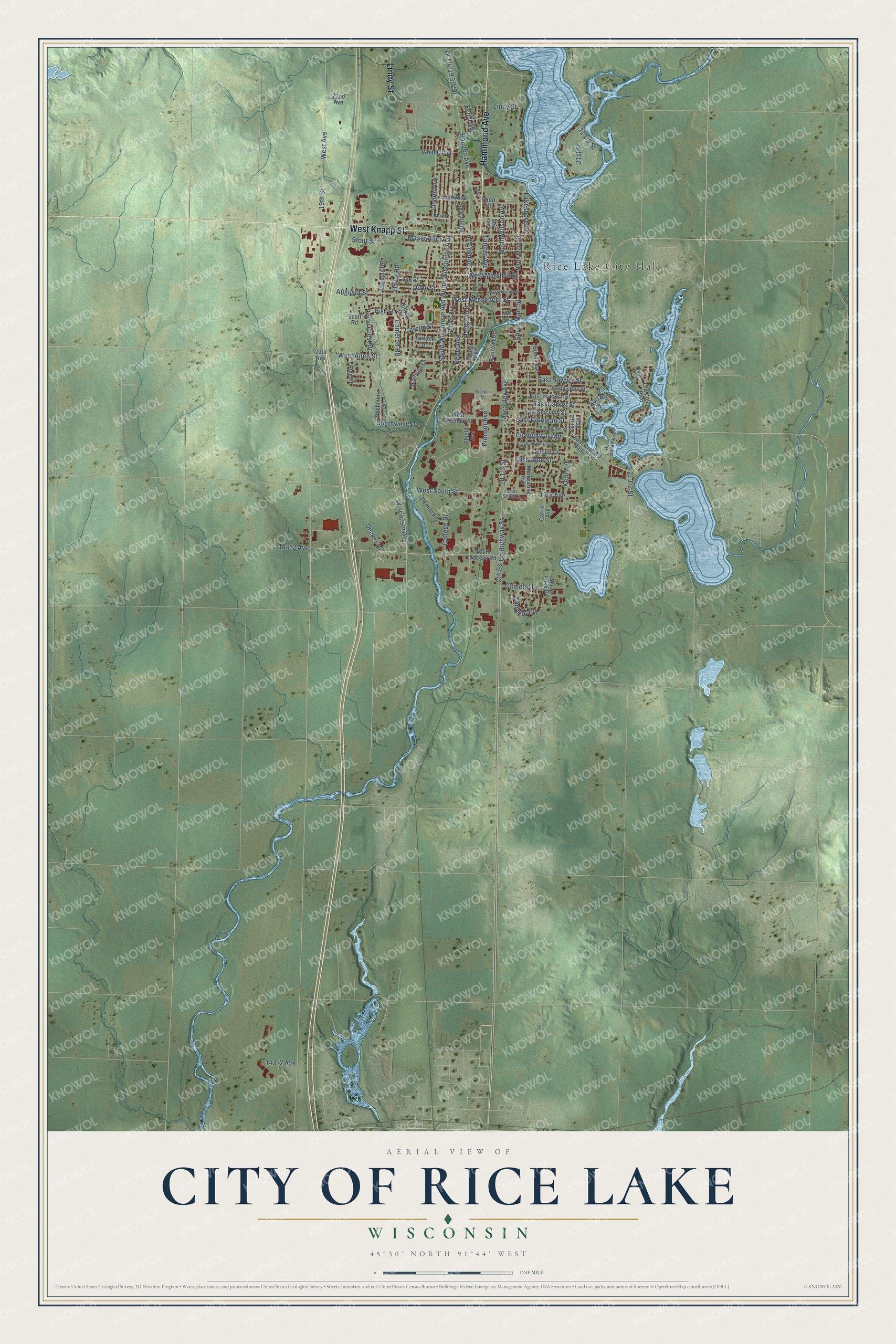
This beautifully detailed map of Rice Lake, Wisconsin was created in 2026 using aerial imagery combined with modern topographical, census, street and landmark data. It's a modern aerial view of Rice Lake in Barron County, Wisconsin, that combines modern data with a vintage aesthetic. The roads feature printed names, and if you look closely you can find your exact house accurately shown in its correct location.
Explore an aerial view of Rice Lake, Wisconsin
On this map you'll find Rice Lake City Hall, Hammond Avenue, West Knapp Street, Lindy Street, Co Highway Ss, South Wisconsin Avenue, West Messenger Street, Wisconsin Avenue, 18 1/2 Avenue, 21 1/2 Street, 20 1/2 Street, West South Street, and more. Each red shape is a building, so zoom in on the preview and look for yours.
Here is a piece of Rice Lake history, in the words of the record. The U.S. Geological Survey puts it this way: "So called because it is situated on a lake where wild rice is abundant."
Rice Lake is a city in Barron County. The Census Bureau counted 9,040 people here in 2020.
Take a closer look at the Rice Lake map
Names on this map
These names are printed on this map.
Places: Rice Lake City Hall.
Streets and roads: Hammond Avenue, West Knapp Street, Lindy Street, County Highway Ss, South Wisconsin Avenue, West Messenger Street, Wisconsin Avenue, West South Street, 19th Avenue, Augusta Street, Linden Avenue, County Highway Mm.
More street names, A to Z
19th Street, 20th Avenue, 21st Street, 22nd Avenue, Boehmer Drive, Bone Avenue, Bracklin Street, Bundy Avenue, Camelot Circle, Camelot Lane, Cameron Road, Carrie Avenue, Carson Street, Center Avenue, Colan Boulevard, College Drive, Cornell Avenue, Craite Avenue, Cth Ss, Decker Drive, Diamond Lane, Duke Street, Earl Street, East Barker Street, East Bracklin Street, East Coleman Street, East Gates Street, East John Street, East Orchard Beach Lane, East Saint Patrick Street, East Sawyer Street, East Slocumb Street, East South Street, Elbert Drive, Fencl Avenue, Gerland Road, Hatten Avenue, Haugen Avenue, Havel Road, Heart Island Parkway, Hemlock Drive, High Street, Hilltop Drive, Kern Avenue, Lakeshore Drive, Lee Street, Macauley Avenue, Manwaring Avenue, Marian Street, Maser Alley, Moon Lake Drive, Noble Avenue, North Main Street, North Wilson Avenue, North Wisconsin Avenue, Nunn Avenue, Old Colan Boulevard, Phipps Avenue, Pine Place, Pioneer Avenue, Railroad Drive, Reuter Avenue, Royal Crest Drive, Schneider Street, Scott Road, Sherwood Drive, Shield Avenue, Short Street, Soo Boulevard, South Access Road, South Main Street, Southwest Street, Stout Street, Tainter Avenue, Terrace Drive, Water Street, West Allen Street, West Avenue, West Coleman Street, West Marshall Street, West Newton Street, Whitetail Street.
Created by KNOWOL in 2026. The buildings are small red shapes, the roads carry their printed names, and shaded relief shows the shape of the land. The title panel reads "AERIAL VIEW OF CITY OF RICE LAKE, WISCONSIN" with 45°30' NORTH 91°44' WEST.
It suits a den, a classroom or a front hall, and it makes a gift for anyone with Rice Lake roots. Open the preview and find the block you know. See sizes and frames for the Rice Lake map.