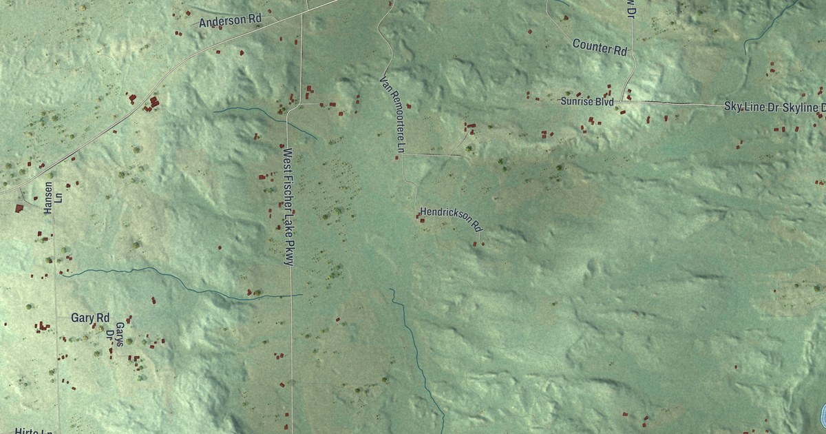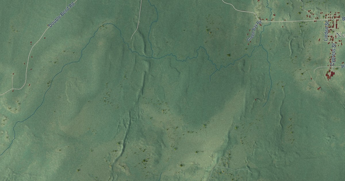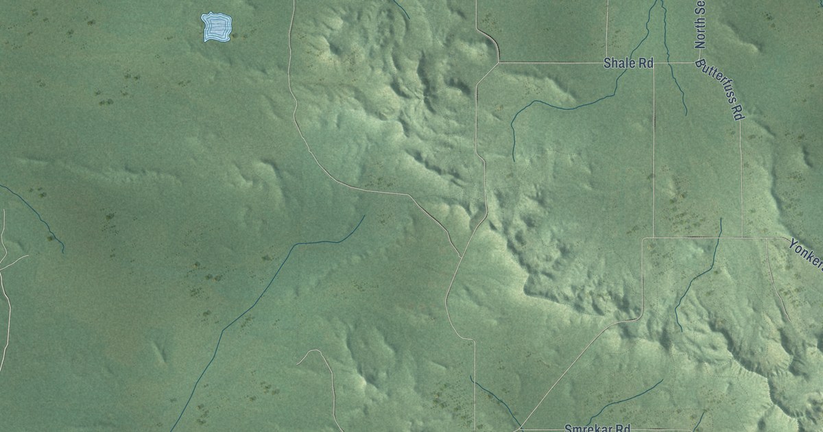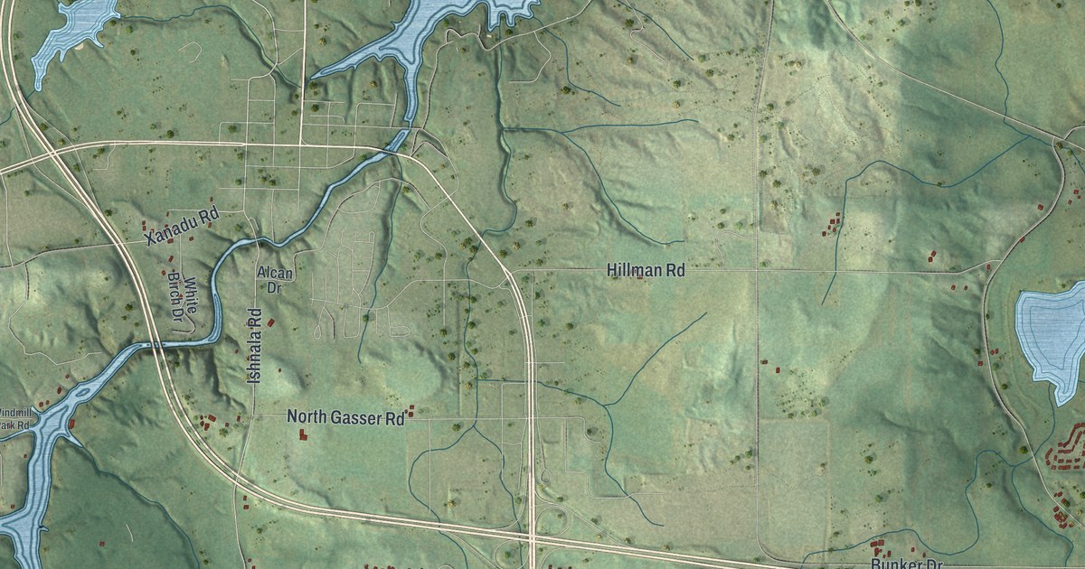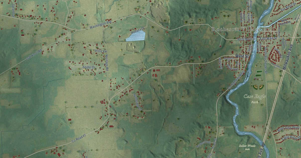
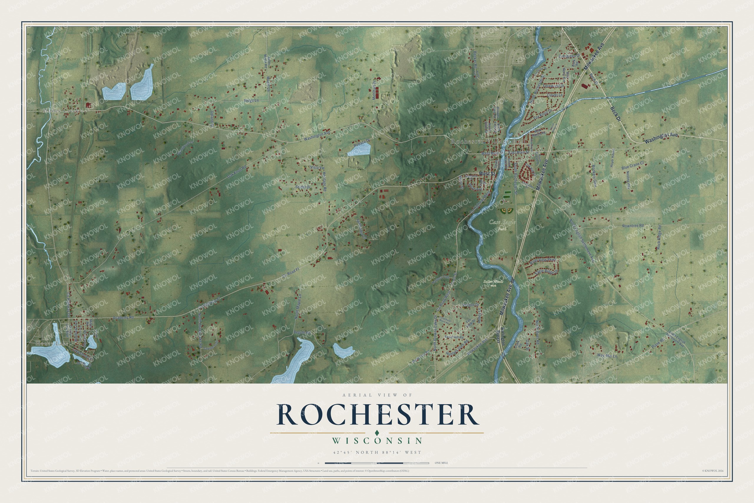
This beautifully detailed map of Rochester, Wisconsin was created in 2026 using aerial imagery combined with modern topographical, census, street and landmark data. It's a modern aerial view of Rochester in Racine County, Wisconsin, that combines modern data with a vintage aesthetic. The roads feature printed names, and if you look closely you can find your exact house accurately shown in its correct location.
Explore an aerial view of Rochester, Wisconsin
On this map you'll find Rochester Village Hall, Honey Lake, Case Eagle Park, Saller Woods Park, Honey Creek, Beck Drive, Milwaukee Avenue, Washington Avenue, West Street, North Rochester Street, South Rochester Street, Front Street, and more. Each red shape is a building, so zoom in on the preview and look for yours.
Here is a piece of Rochester history, in the words of the record. The Old Settlers Society of Racine County puts it this way: "Richard E. Ela established, in Rochester in 1889, the first fanning mill establishment in the county. He built his first mills in the cellar under his house."
Rochester is a village in Racine County. The Census Bureau counted 3,785 people here in 2020.
Take a closer look at the Rochester map
Names on this map
These names are printed on this map.
Places: Rochester Village Hall, Honey Lake, Case Eagle Park, Saller Woods Park and Honey Creek.
Streets and roads: Beck Drive, Milwaukee Avenue, Washington Avenue, West Street, North Rochester Street, South Rochester Street, Front Street, County Highway Dd, East Main Street, North River Road, North Browns Lake Drive, Lakeshore Drive.
More street names, A to Z
Abbey Lane, Academy Road, Becker Road, Beguhl Road, Blue Crane Court, Browns Lake Road, Buck Road, Buena Park Road, Burlington Bypass, Camelback Mount Road, Clark Road, Clover Lane, County Highway Ff, County Highway West, County Line Boulevard, County Road Ff, County Road West, Coyote Trail, Del-Monte Drive, Eagle Ridge Drive, Evergreen Drive, Fernwood Drive, Fox Grove Drive, Fox Knoll Drive, Fox View Drive, Heritage Road, Hillside Road, Hoyer Haven, Hunters Glen Road, Hunters Trail, Maple Lane, Maryl Street, Mehlhaff Drive, Miller Road, Mink Ranch Road, Musquequak Street, Nesting Way, North English Settlement Avenue, North Front Street, North Honey Lake Road, North Maple Lane, North Maple Road, North State Street, North Teut Road, Oak Hill Circle, Oak Knoll Road, Oak Street, Paul Street, Pine Grove Avenue, Plank Road, Ridge Lane, River View Parkway, Rochester Street, Rock Ridge Road, Rodaza Drive, Rookery Glen, Rowntree Road, Royal Hill Road, Ryan Avenue, Schneider Lane, Seidel Drive, Shervin Drive, South English Settlement Avenue, South Front Street, South Millgate Drive, South Water Street, Springwood Lane, Stephanie Street, Trail of Pines Lane, Upland Drive, Vergon Drive, Vista Vw, Way-Mar Lane, West Main Street, Wild Berry Avenue, Woodlawn Avenue.
Created by KNOWOL in 2026. The buildings are small red shapes, the roads carry their printed names, and shaded relief shows the shape of the land. The title panel reads "AERIAL VIEW OF ROCHESTER, WISCONSIN" with 42°45' NORTH 88°14' WEST.
It suits a den, a classroom or a front hall, and it makes a gift for anyone with Rochester roots. Open the preview and find the block you know. See sizes and frames for the Rochester map.