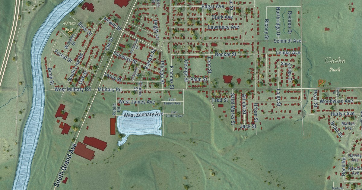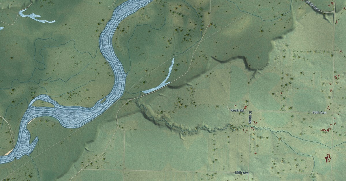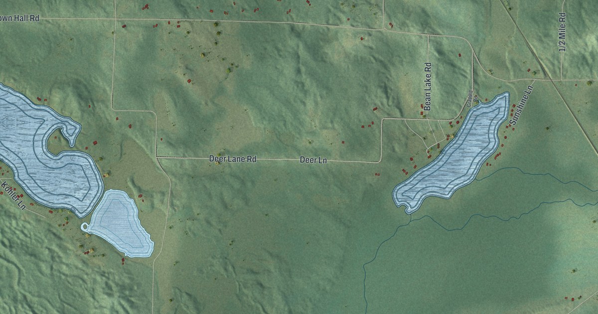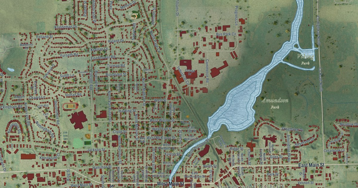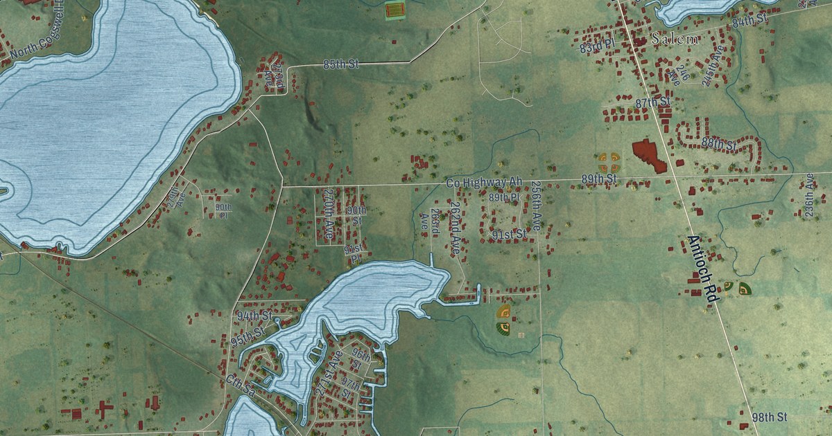
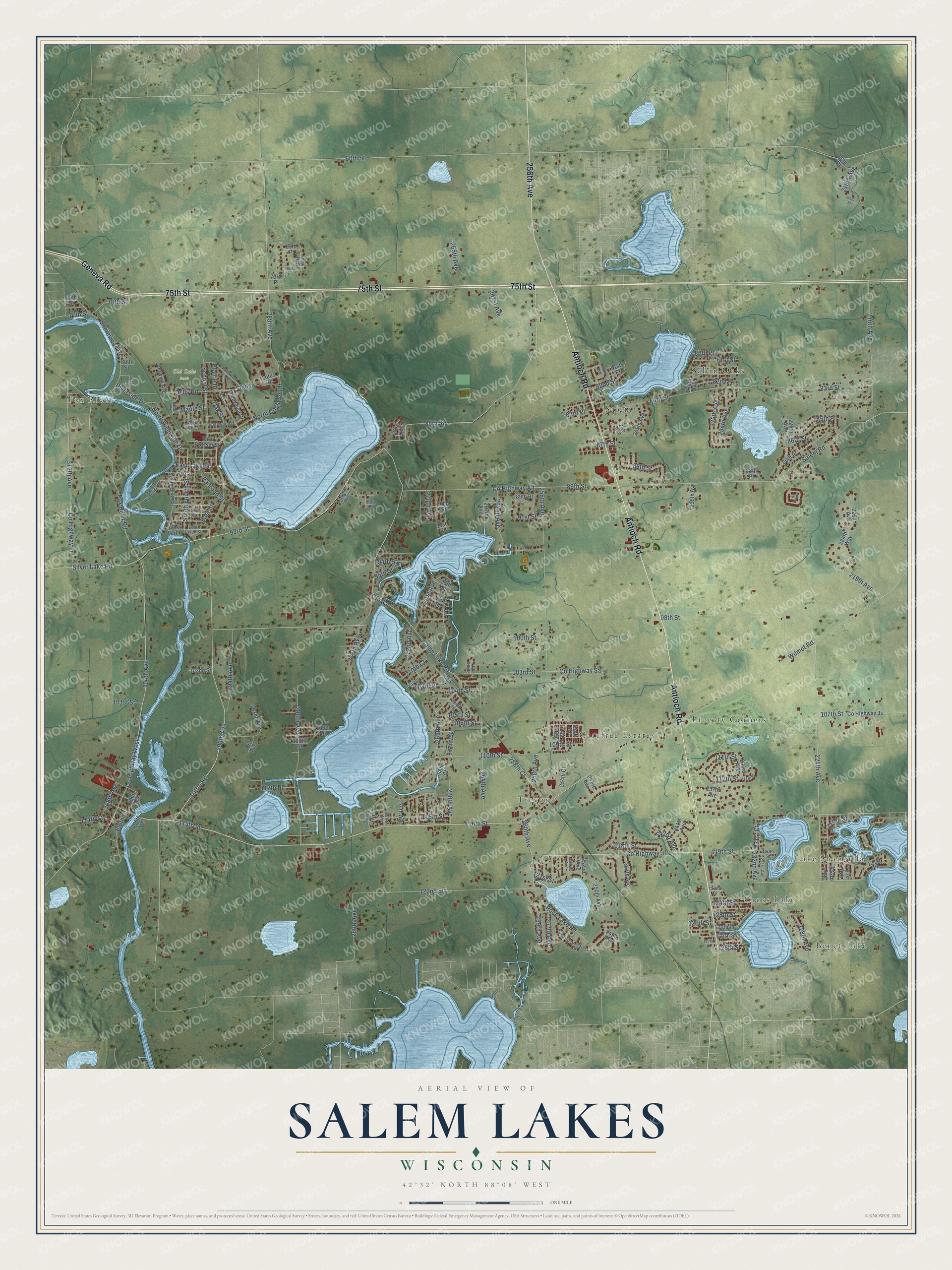
This beautifully detailed map of Salem Lakes, Wisconsin was created in 2026 using aerial imagery combined with modern topographical, census, street and landmark data. It's a modern aerial view of Salem Lakes in Kenosha County, Wisconsin, that combines modern data with a vintage aesthetic. The roads feature printed names, and if you look closely you can find your exact house accurately shown in its correct location.
Explore an aerial view of Salem Lakes, Wisconsin
On this map you'll find Lake Shangrila, Benet Lake, Cross Lake, Fox River, Old Oaks Park, Carefree Estates, Liberty Corners, Salem, Salem Oaks, Trevor, Geneva Road, 75th Street, and more. Each red shape is a building, so zoom in on the preview and look for yours.
Salem Lakes is a village in Kenosha County. The Census Bureau counted 14,601 people here in 2020. The map prints the town name in its title panel, with the coordinates below it.
Take a closer look at the Salem Lakes map
Names on this map
These names are printed on this map.
Places: Lake Shangrila, Benet Lake, Cross Lake, Fox River, Old Oaks Park, Carefree Estates, Liberty Corners, Salem, Salem Oaks and Trevor.
Streets and roads: Geneva Road, 75th Street, Antioch Road, 256th Avenue, 296th Avenue, 119th Street, Tuttle Road, North Cogswell Drive, South Fourth Street, East Lake Street, 232nd Avenue, 122nd Street.
More street names, A to Z
60th Place, 60th Street, 65th Street, 69th Place, 72nd Place, 73rd Place, 76th Street, 77th Street, 80th Place, 80th Street, 81st Place, 81st Street, 82nd Place, 82nd Street, 83rd Place, 83rd Street, 84th Street, 85th Place, 85th Street, 86th Place, 86th Street, 87th Street, 88th Place, 88th Street, 89th Place, 89th Street, 90th Place, 90th Street, 91st Place, 91st Street, 93rd Street, 94th Street, 95th Street, 96th Street, 97th Street, 98th Street, 99th Street, 100th Street, 101st Street, 102nd Street, 103rd Place, 103rd Street, 104th Place, 104th Street, 105th Street, 106th Place, 106th Street, 107th Street, 108th Street, 109th Street, 110th Street, 111th Place, 111th Street, 112th Place, 112th Street, 113th Street, 114th Street, 115th Street, 116th Street, 117th Street, 118th Street, 120th Street, 121st Place, 121st Street, 122nd Place, 124th Street, 125th Street, 126th Place, 126th Street, 127th Place, 127th Street, 128th Street, 216th Avenue, 218th Avenue, 219th Avenue, 221st Avenue, 222nd Avenue, 223rd Avenue, 224th Avenue, 224th Way, 226th Avenue, 226th Court, 228th Avenue, 231st Avenue, 231st Court, 233rd Avenue, 234th Avenue, 235th Avenue, 236th Avenue, 237th Avenue, 238th Avenue, 241st Avenue, 242nd Avenue, 245th Avenue, 246 Avenue, 247th Avenue, 248th Avenue, 249th Avenue, 250th Avenue, 251st Avenue, 252nd Avenue, 253rd Avenue, 254th Avenue, 254th Court, 255th Avenue, 257th Avenue, 258th Avenue, 258th Court, 259th Avenue, 260th Avenue, 261st Avenue, 262nd Avenue, 263rd Avenue, 264th Avenue, 265th Avenue, 265th Court, 267th Avenue, 268th Avenue, 268th Court, 269th Avenue, 270th Avenue, 270th Court, 271st Avenue, 272nd Avenue, 273rd Avenue, 274th Avenue, 276th Avenue, 277th Avenue, 278th Avenue, 279th Avenue, 280th Avenue, 284th Avenue, 286th Avenue, 288th Avenue, 292 Avenue, 292nd Avenue, 294th Avenue, 304th Avenue, 305th Avenue, 305th Court, 306th Avenue, 306th Court, 308th Avenue, 312th Avenue, Berwick Avenue, Camp Lake Road, County Highway Ah, County Highway Fr, County Highway Jf, County Highway Js, County Highway Sa, County Highway West, Cth Sa, Dells, Dells Road, East Larch Street, East Prosser Street, East Street, Eastwood Drive, Edgewood Drive, Elder Lane, Elm Street, Fox River Road, Glenwood Drive, Katie Drive, Lotus Drive, Manor Drive, Maple Street, North Riverside Drive, Oak Street, Park Street, Prairie Drive, Railroad Street, Riverside Drive, Rock Lake Road, Runyard Way West, Salem Road, School Street, Shorewood Drive, Silver Lake Road, South Riverside Drive, South Sixth Street, West Larch, Wilmot Road.
Created by KNOWOL in 2026. The buildings are small red shapes, the roads carry their printed names, and shaded relief shows the shape of the land. The title panel reads "AERIAL VIEW OF SALEM LAKES, WISCONSIN" with 42°32' NORTH 88°08' WEST.
It looks right in a kitchen, an office or a den, and it's a gift for anyone who grew up in Salem Lakes or moved away. Open the preview and find your street. See sizes and frames for the Salem Lakes map.