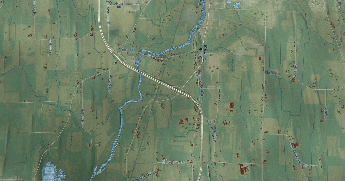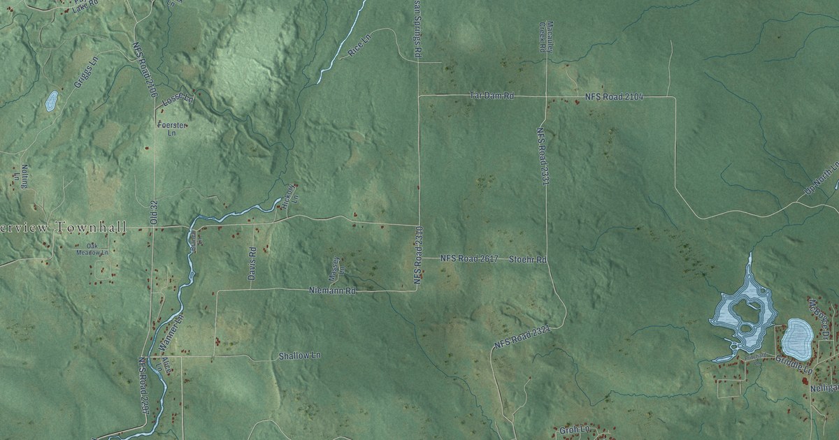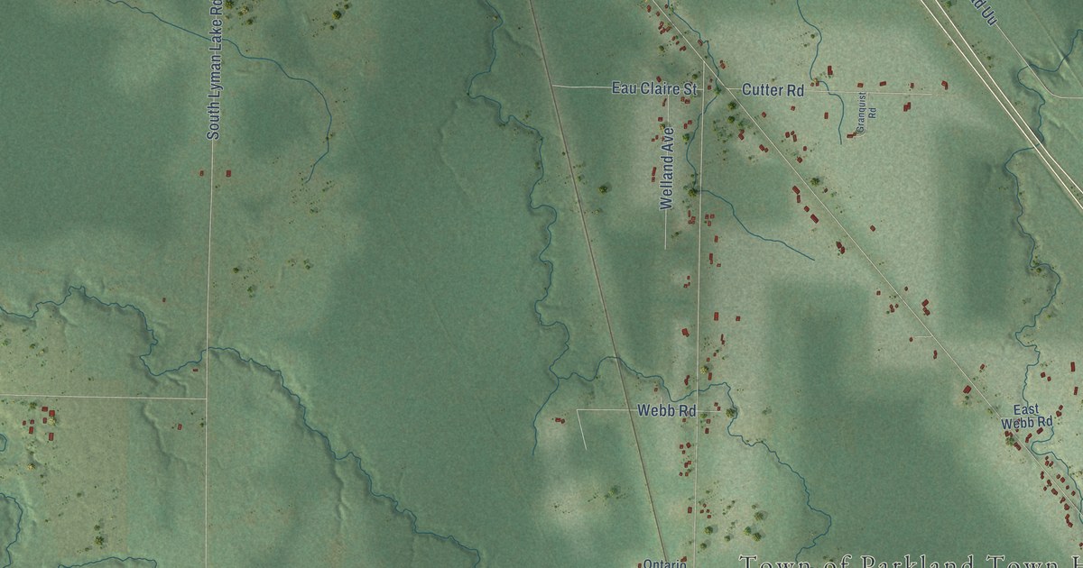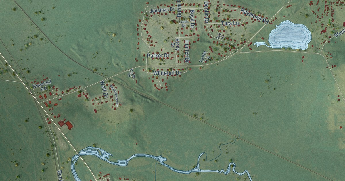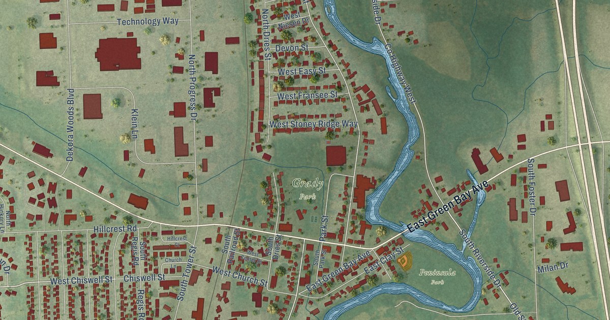
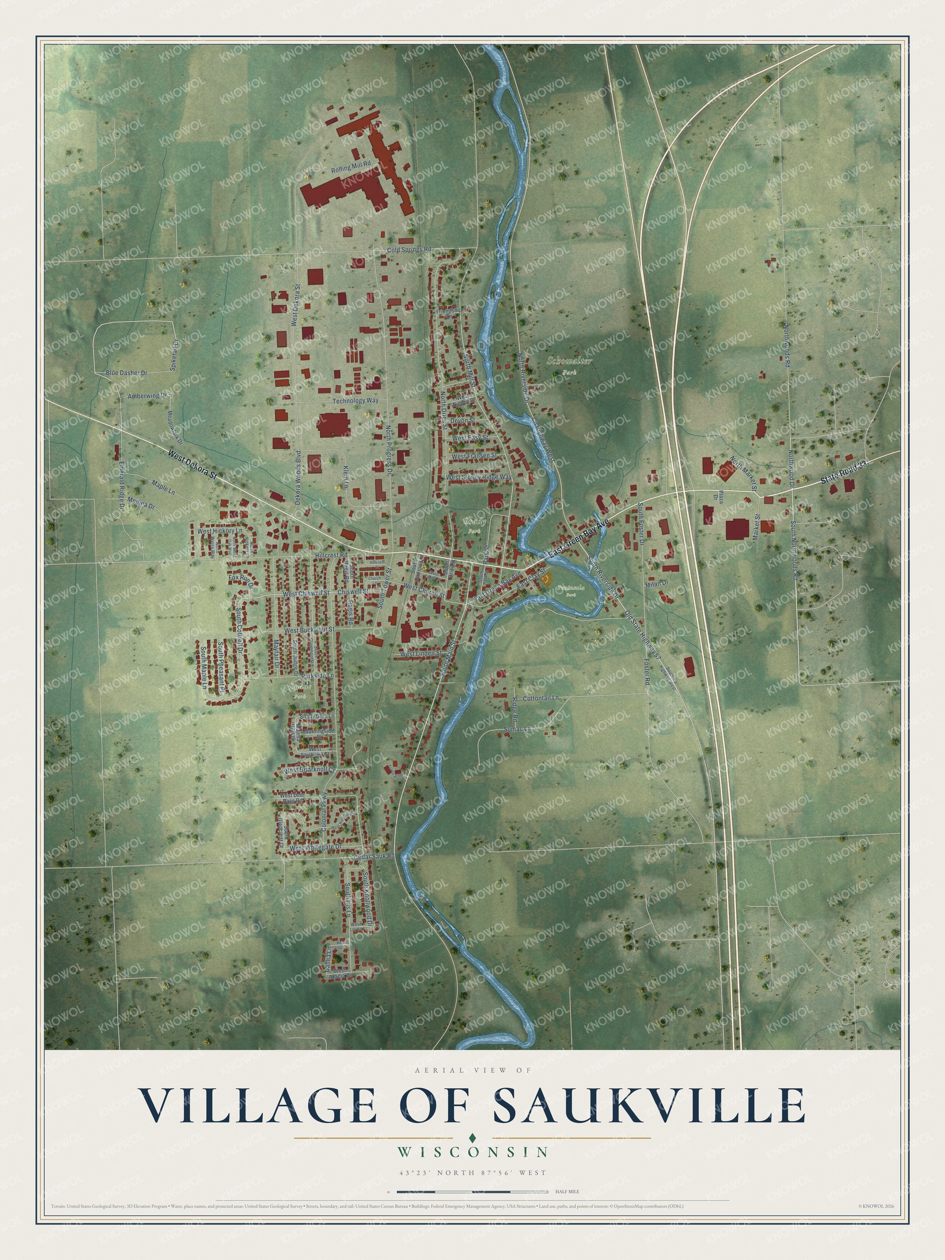
This beautifully detailed map of Saukville, Wisconsin was created in 2026 using aerial imagery combined with modern topographical, census, street and landmark data. It's a modern aerial view of Saukville in Ozaukee County, Wisconsin, that combines modern data with a vintage aesthetic. The roads feature printed names, and if you look closely you can find your exact house accurately shown in its correct location.
Explore an aerial view of Saukville, Wisconsin
On this map you'll find Peninsula Park, Schowalter Park, Grady Park, Quade Park, State Road 33, West Dekora Street, East Green Bay Avenue, Northwoods Road, South Cottrell Drive, Northwood Drive, South Riverside Drive, West Chiswell Street, and more. Each red shape is a building, so zoom in on the preview and look for yours.
Saukville has a story worth telling. The Internet Archive puts it this way: "Foster built a dam across the Milwaukee River, three-quarters of a mile
north of the village, where they obtained a fall of fifteen feet."
Saukville is a village in Ozaukee County. The Census Bureau counted 4,258 people here in 2020.
Take a closer look at the Saukville map
Names on this map
These names are printed on this map.
Places: Peninsula Park, Schowalter Park, Grady Park and Quade Park.
Streets and roads: State Road 33, West Dekora Street, East Green Bay Avenue, Northwoods Road, South Cottrell Drive, Northwood Drive, South Riverside Drive, West Chiswell Street, Amberwing Drive, Spiketail Drive, South Main Street, South Knollwood Drive.
More street names, A to Z
Blue Dasher Drive, Cedar Sauk Road, Chiswell Street, Church Lane, Cold Springs Road, Colonial Parkway, Cottontail Lane, County Highway West, Dahlia Lane, Dekora Woods Boulevard, Devon Street, East Clay Street, Emerald Ridge Drive, Forest Ridge Court, Foster Road, Fox Run Drive, Friendship Lane, Hillcrest Court, Hillcrest Road, Klein Lane, Majesa Hills Lane, Maple Lane, Market Street, Mayfair Drive, Meadowlark Drive, Medina Drive, Milan Drive, Morningside Court, North Dries Street, North Hickory Lane, North Market Street, North Mill Street, North Progress Drive, North Riverside Drive, North Weiss Way, North White Oak Way, Old State Highway 57, Parkside Lane, Park Street, Plaza Drive, Regis Road, Ridge Road, Rolling Mill Road, Shady Glen Lane, South Claremont Road, South County Highway West, South Dries Street, South Foster Drive, South Glencrest Court, South Iris Lane, South Judge Drive, South Maple Lane, South Northwoods Road, South Park Street, South Pheasant Place, South Railroad Street, South Regis Road, South Tower Street, Sumac Lane, Technology Way, West Acacia Drive, West Briarknoll Court, West Bucktrout Street, West Center Street, West Church Street, West Deer Pass Road, West Easy Street, West Fairhurst Court, West Fransee Street, West Hickory Lane, West Hollybrook Lane, West Lilac Drive, West Lily Lane, West Linden Street, West Niesen Drive, West Stoney Ridge Way, West Whitegate Drive.
Created by KNOWOL in 2026. The buildings are small red shapes, the roads carry their printed names, and shaded relief shows the shape of the land. The title panel reads "AERIAL VIEW OF VILLAGE OF SAUKVILLE, WISCONSIN" with 43°23' NORTH 87°56' WEST.
It looks right in a kitchen, an office or a den, and it's a gift for anyone who grew up in Saukville or moved away. Open the preview and find your street. See sizes and frames for the Saukville map.