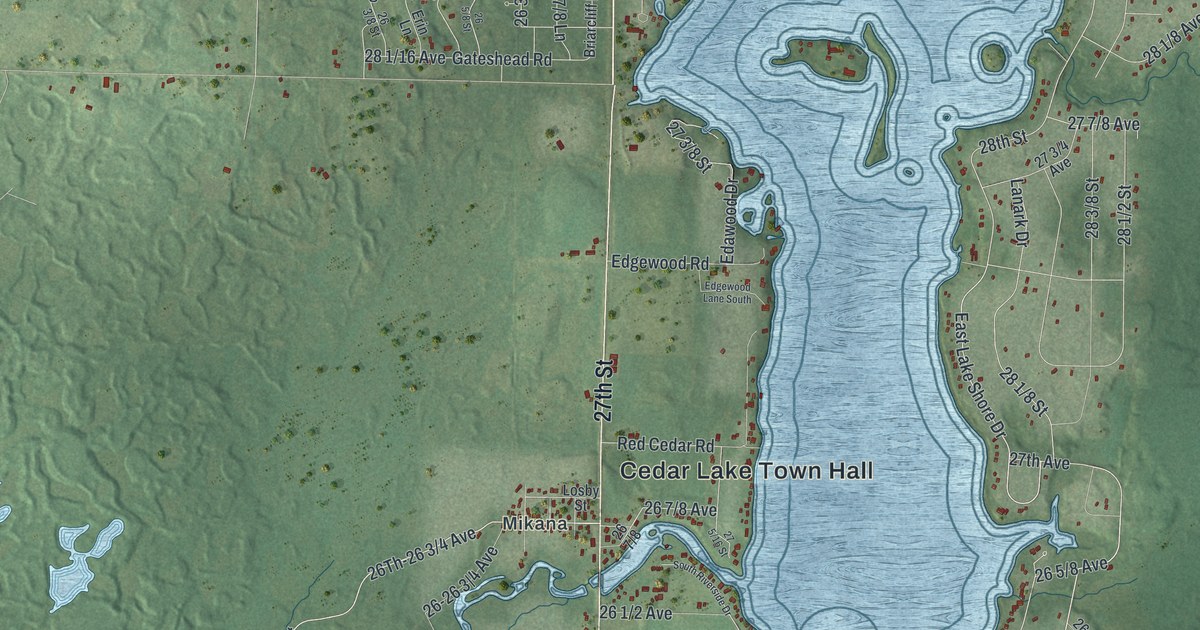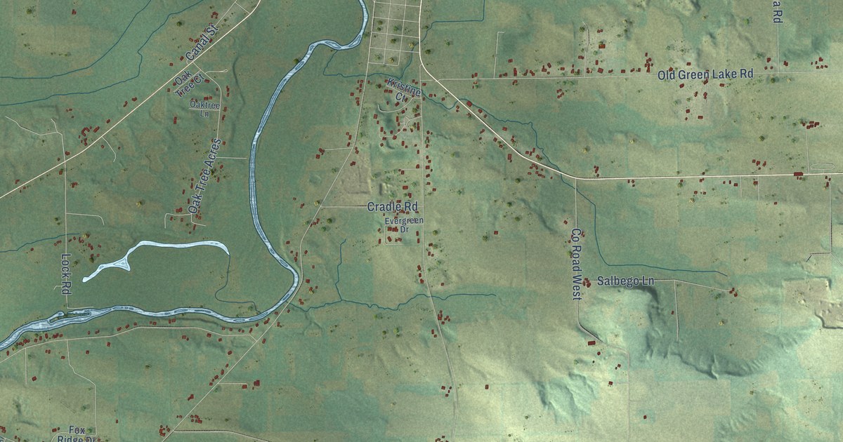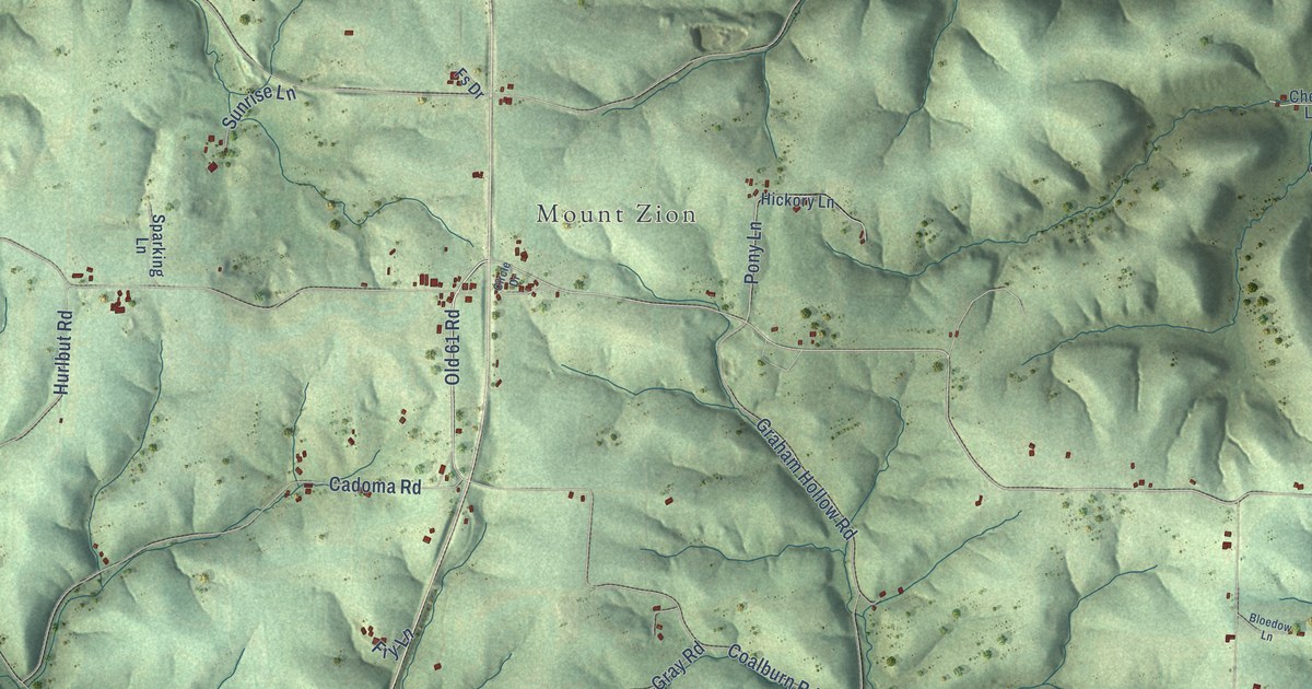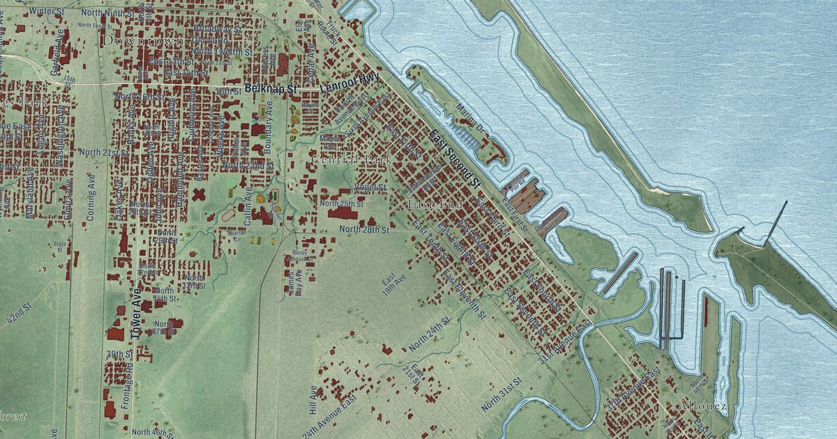
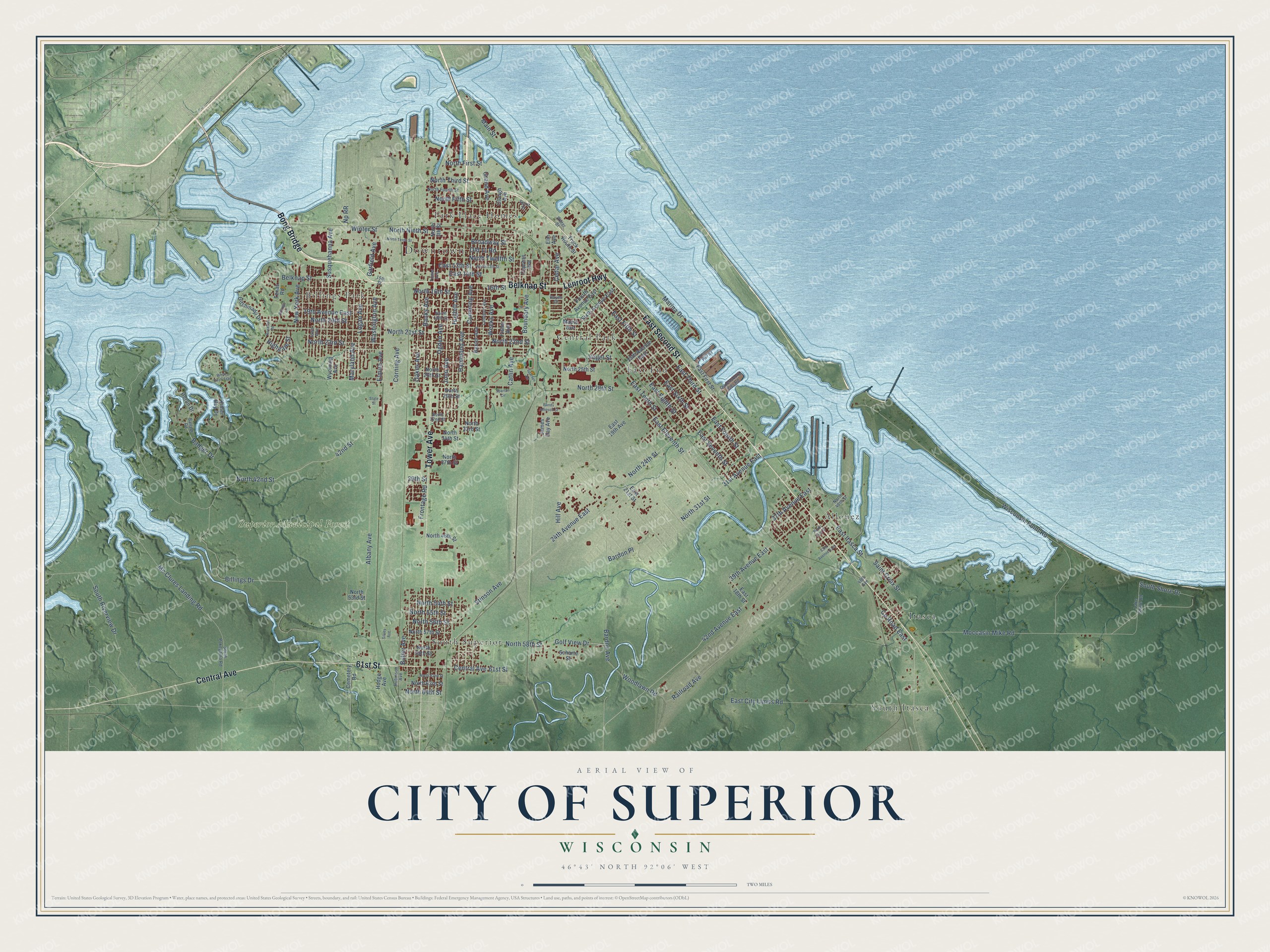
This beautifully detailed map of Superior, Wisconsin was created in 2026 using aerial imagery combined with modern topographical, census, street and landmark data. It's a modern aerial view of Superior in Douglas County, Wisconsin, that combines modern data with a vintage aesthetic. The roads feature printed names, and if you look closely you can find your exact house accurately shown in its correct location.
Explore an aerial view of Superior, Wisconsin
On this map you'll find Downtown, Superior Municipal Forest, Allouez, Billings Park, Central Park, East End, Itasca, Park Place Homes, South Itasca, South Superior, East Second Street, Bong Bridge, and more. Each red shape is a building, so zoom in on the preview and look for yours.
Superior is a city in Douglas County. The Census Bureau counted 26,751 people here in 2020. The map prints the town name in its title panel, with the coordinates below it.
Take a closer look at the Superior map
Names on this map
These names are printed on this map.
Places: Downtown, Superior Municipal Forest, Allouez, Billings Park, Central Park, East End, Itasca, Park Place Homes, South Itasca and South Superior.
Streets and roads: East Second Street, Bong Bridge, Belknap Street, Lenroot Highway, 61st Street, Tower Avenue, Central Avenue, East Third Street, Marina Drive, North Third Street, Billings Drive, North 21st Street.
More street names, A to Z
15th Avenue East, 15th Street, 16th Street, 19th Avenue East, 24th Avenue East, 31st Avenue East, 37th Avenue East, 39th Avenue East, 39th Street, 42nd Avenue East, 42nd Street, 43rd Avenue East, 48th Avenue, Albany Avenue, Badger Drive, Ballard Road, Banks Avenue, Bardon Avenue, Bardon Place, Baxter Avenue, Billings Lane, Boundary Avenue, Broadway Street, Butler Avenue, Catlin Avenue, Cedar Avenue, Cemetery Road, Clough Avenue, Corning Avenue, County Road East, Cumming Avenue, Cypress Avenue, East 13th Street, East 14th Street, East 18th Street, East 19th Avenue, East 21st Street, East City Limits Road, East Eighth Street, East Eleventh Street, East Fifth Street, East First Street, East Fourth Street, East Itasca Street, East Seventh Street, East Sixth Street, East Tenth Street, Elm Avenue, Elmira Avenue, Fisher Avenue, Fourth Avenue East, Frontage Road, Garfield Avenue, Gitchinadji Drive, Golf View Drive, Grand Avenue, Hammond Avenue, Hayes Court, Heron Drive, Highgate Street, Hill Avenue, Hodge Avenue, Hughitt Avenue, Iowa Avenue, James Day Avenue, John Avenue, Kilner Bay Drive, Lake Shore Road, Lamborn Avenue, Logan Avenue, Main Street, Maple Avenue, Maryland Avenue, Mc Clures Landing Road, Moccasin Mike Road, Montreal Pier Road, New York Avenue, North 3th Street, North 13th Street, North 16th Street, North 19th Street, North 20th Street, North 22nd Street, North 23rd Street, North 24th Street, North 25th Street, North 26th Street, North 28th Street, North 29th Street, North 31st Street, North 32nd Street, North 33rd Street, North 34th Street, North 37th Street, North 40th Street, North 41st Street, North 42nd Street, North 46th Street, North 53rd Street, North 54th Street, North 55th Street, North 56th Street, North 57th Street, North 58th Street, North 59th Street, North 62nd Street, North 63rd Street, North 64th Street, North Fifth Street, North First Street, North Fourth Street, North Ninth Street, North Tenth Street, North Twelfth Street, Np RR, Oakes Avenue, Ogden Avenue, Ogdensburg Pier Road, Old 11 Road, Railroad Avenue, Randy Johnson Street, Robinson Avenue, Royalton Road, Saint Croix Street, Scharte Street, Silvey Avenue, Sixth Avenue East, South Pokegama Road, South Riverview Drive, South Shore Drive, Spartan Circle, Spartan Road, Spirit Street, State Street, Stinson Avenue, Susquehanna Avenue, Texas Road, Truck Route Street, Vogel Street, Washington Avenue, Water Street, Weeks Avenue, White Birch Trail, Winter Street, Wisconsin Point Road, Woodlawn Road, Wyoming Avenue.
Created by KNOWOL in 2026. The buildings are small red shapes, the roads carry their printed names, and shaded relief shows the shape of the land. The title panel reads "AERIAL VIEW OF CITY OF SUPERIOR, WISCONSIN" with 46°43' NORTH 92°06' WEST.
It suits a den, a classroom or a front hall, and it makes a gift for anyone with Superior roots. Open the preview and find the block you know. See sizes and frames for the Superior map.