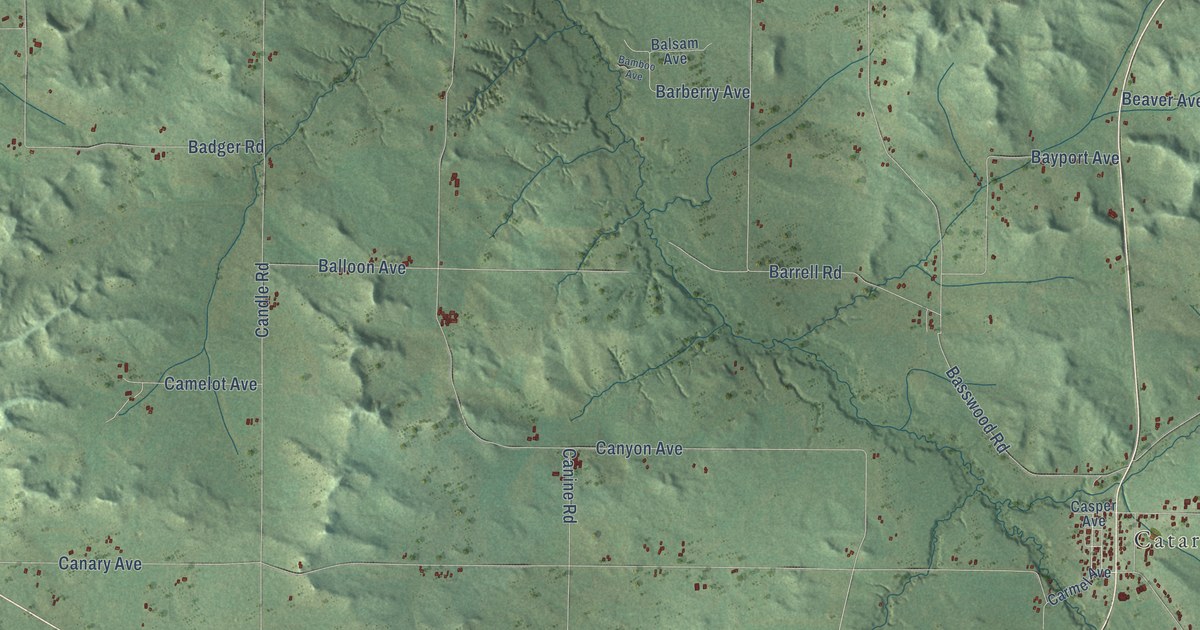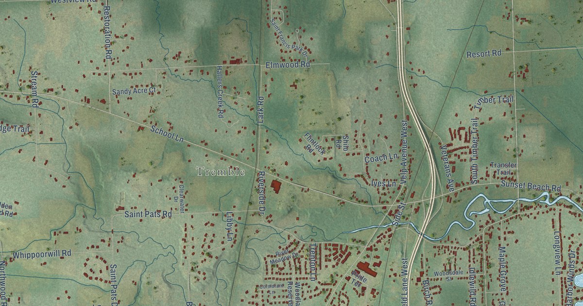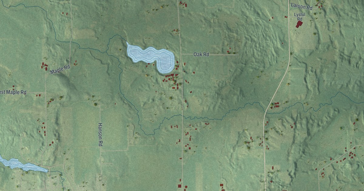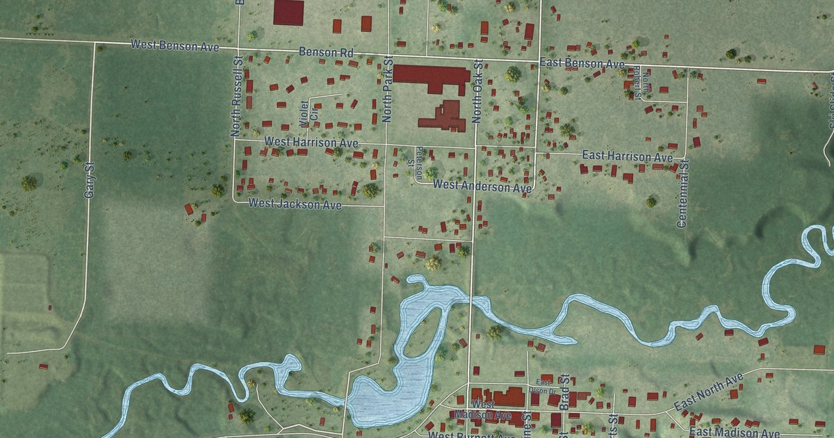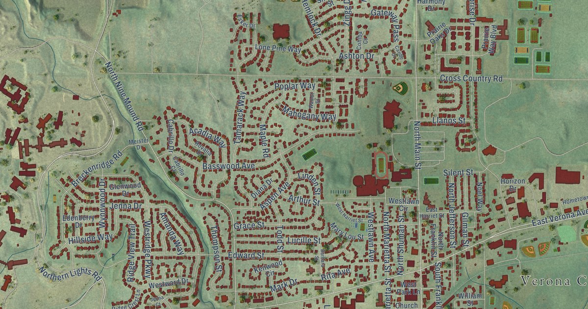
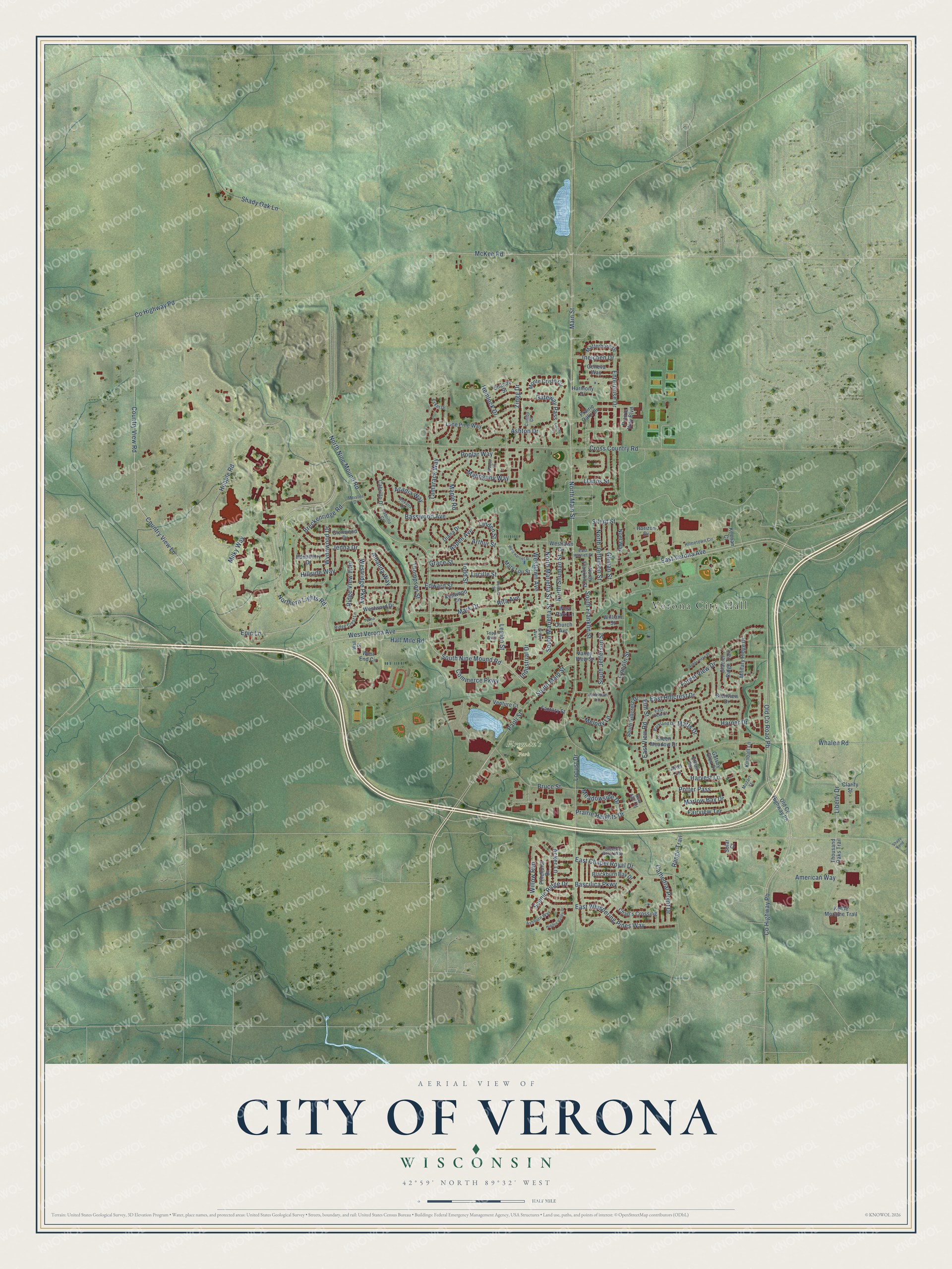
This beautifully detailed map of Verona, Wisconsin was created in 2026 using aerial imagery combined with modern topographical, census, street and landmark data. It's a modern aerial view of Verona in Dane County, Wisconsin, that combines modern data with a vintage aesthetic. The roads feature printed names, and if you look closely you can find your exact house accurately shown in its correct location.
Explore an aerial view of Verona, Wisconsin
On this map you'll find Verona City Hall, Fireman's Park, Northern Lights Road, West Verona Avenue, East Verona Avenue, Epic Lane, Old Co Road Pb, South Main Street, South Nine Mound Road, North Nine Mound Road, Co Highway Pb, Country View Road, and more. Each red shape is a building, so zoom in on the preview and look for yours.
Here is a piece of Verona history, in the words of the record. The History of Dane County puts it this way: "The family settled in Verona in March, 1843, the second family in that town, and in their house the first religious service was held by the Rev. Stebbins in the summer of 1843."
Verona is a city in Dane County. The Census Bureau counted 14,030 people here in 2020.
Take a closer look at the Verona map
Names on this map
These names are printed on this map.
Places: Verona City Hall and Fireman's Park.
Streets and roads: Northern Lights Road, West Verona Avenue, East Verona Avenue, Epic Lane, Old County Road Pb, South Main Street, South Nine Mound Road, North Nine Mound Road, County Highway Pb, Country View Road, North Main Street, Main Street.
More street names, A to Z
Acadia Way, Acker Lane, Amanda Way, American Way, Arbor Vitae Place, Ariel Lane, Arthur Street, Ashburn Way, Ashton Drive, Aspen Avenue, Barbara Street, Bascilica Parkway, Basswood Avenue, Blackburn Bay Drive, Breckenridge Road, Bruce Street, Cabrillo Court, Cabrillo Drive, Caribe Court, Cathedral Point Drive, Chad's Crossing, Church Avenue, Clarity Street, Cohiba Court, Commerce Parkway, Country View Lane, County Highway Pd, Cross Country Road, Diana Drive, East Chapel Royal Drive, East Harriet Street, East Hillcrest Drive, East View Court, East View Road, East Whispering Pines Way, Edenberry Drive, Edward Street, Elm Street, Enterprise Drive, Esker Drive, Ethan Terrace, Factory Street, Fairview Terrace, Forest View Drive, Gateway Pass, Gatsby Glen Drive, Geneva Way, Gilman Street, Glacier Ridge Trail, Glenview Drive, Glenwood Drive, Grace Street, Green Meadow Drive, Grove Avenue, Half Mile Road, Harmony Drive, Harper Drive, Harvest Lane, Hemlock Drive, Hidden Valley Drive, Hillside Way, Hometown Circle, Horizon Drive, Hubble Road, Industrial Drive, Ineichen Drive, Jenna Court, Jenna Drive, Keenan Court, Kenwood Circle, Kettle Moraine Trail, Kimball Lane, Legion Street, Liberty Drive, Lincoln Street, Linden Street, Llanos Street, Locust Drive, Lone Pine Way, Lucille Street, Mahogany Way, Maple Road, Mark Drive, Marlow Bay Drive, Mary Lou Street, Matterhorn Drive, Matts Drive, McKee Road, Meadowside Drive, Meister Drive, Melody Lane, Military Ridge Drive, Milky Way, Monte Cristo Circle, Mozart Street, New Age Circle, Noel Way, North Franklin Street, North Jefferson Street, North Marietta Street, North Shuman Street, Old County Highway Pb, Paoli Street, Parkland Drive, Parkview Lane, Pinehurst Drive, Poplar Way, Potter Pass, Prairie Heights Drive, Prairie Oaks Drive, Prairie Way Boulevard, Range Trail, Ridge Crest Lane, Ridge View Trail, Rita Avenue, Rovalia Drive, Scenic Ridge Drive, Shady Bend, Shady Oak Lane, Shandy Street, Silent Street, Solar Court, South Franklin Street, South Hillcrest Drive, South Jefferson Street, South Marietta Street, Steeple Point Way, Tamarack Way, Thompson Street, Thousand Oaks Trail, Todd Street, Topp Avenue, Valley View Street, Venture Court, Wall Street, Walnut Street, West End Circle, West Harriet Street, Westlawn Avenue, Westlawn Circle, West Park Lane, Westridge Parkway, Westward Drive, Whalen Road, William Street, Willow Run, Wynnwood Drive, Zingg Drive.
Created by KNOWOL in 2026. The buildings are small red shapes, the roads carry their printed names, and shaded relief shows the shape of the land. The title panel reads "AERIAL VIEW OF CITY OF VERONA, WISCONSIN" with 42°59' NORTH 89°32' WEST.
It suits a den, a classroom or a front hall, and it makes a gift for anyone with Verona roots. Open the preview and find the block you know. See sizes and frames for the Verona map.