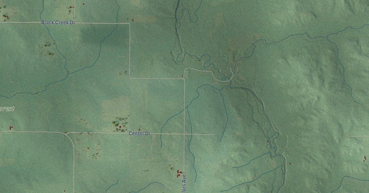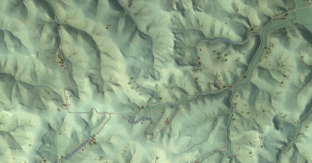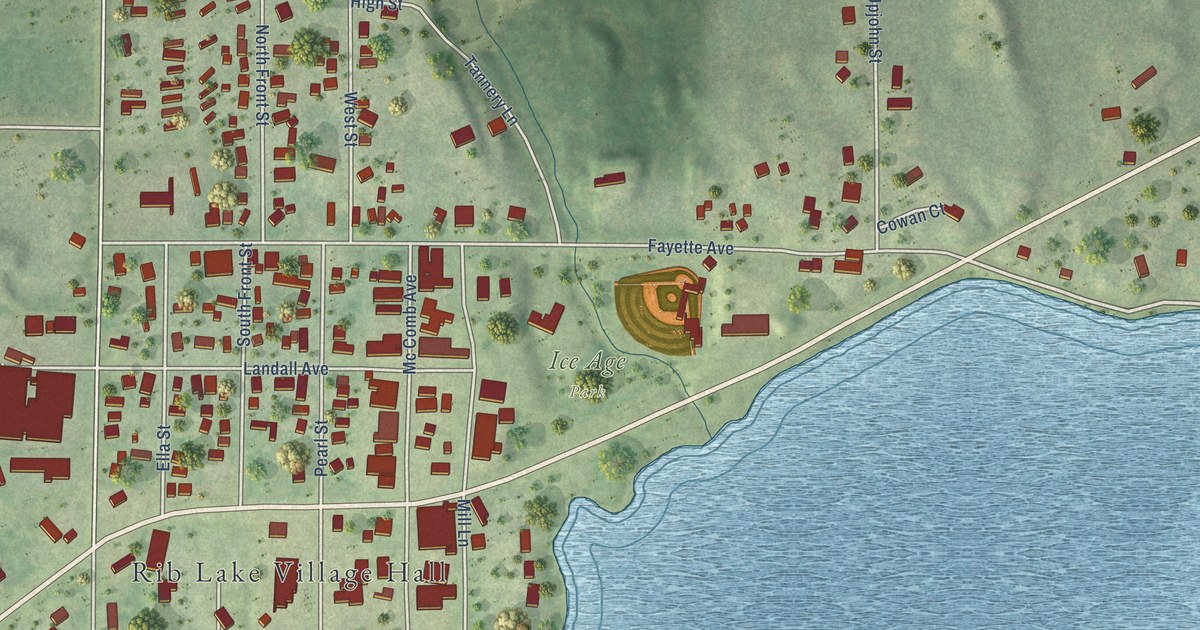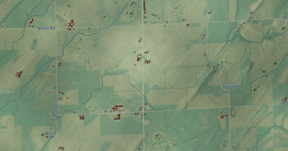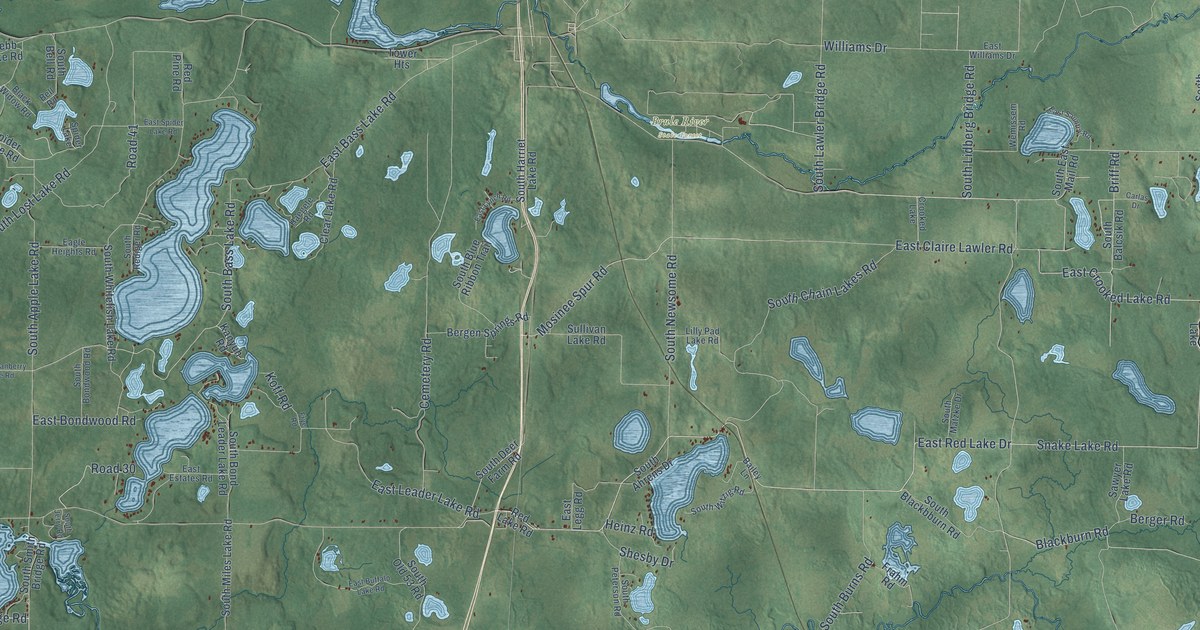
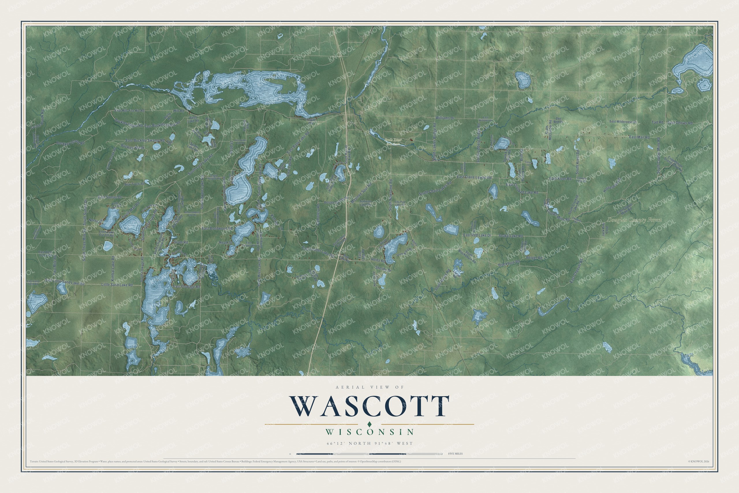
This beautifully detailed map of Wascott, Wisconsin was created in 2026 using aerial imagery combined with modern topographical, census, street and landmark data. It's a modern aerial view of Wascott in Douglas County, Wisconsin, that combines modern data with a vintage aesthetic. The roads feature printed names, and if you look closely you can find your exact house accurately shown in its correct location.
Explore an aerial view of Wascott, Wisconsin
On this map you'll find Brule River State Forest, Douglas County Forest, East Red Lake Drive, South Copper Mine Road, Snake Lake Road, South Kreel Road, Copper Mine Road, East Kreel Road, East Crooked Lake Road, South Crystal Lake Road, East Mail Road, East Cheever Road, and more. Each red shape is a building, so zoom in on the preview and look for yours.
Wascott is a town in Douglas County. The Census Bureau counted 912 people here in 2020. The map prints the town name in its title panel, with the coordinates below it.
Take a closer look at the Wascott map
Names on this map
These names are printed on this map.
Places: Brule River State Forest, Douglas County Forest, Snake Lake, Crooked Lake and Spider Lake.
Streets and roads: East Red Lake Drive, South Copper Mine Road, Snake Lake Road, South Kreel Road, Copper Mine Road, East Kreel Road, East Crooked Lake Road, South Crystal Lake Road, East Mail Road, East Cheever Road, Blackburn Road, East Flowage Road.
More street names, A to Z
Bailey Lane, Bear Track Road, Bell Road, Bergen Springs Road, Berger Road, Black Widow Road, Briff Road, Buckkey Island Road, Buckley Break, Buckley Island Road, Carlas Drive, Carp's Creek Road, Cemetery Road, Cheever Road, Clear Lake Road, Coppermine Scenic Drive Lp, Crooked Lake Road, Crotte Brook Road, Daisy Road, Eagle Heights Road, East Bass Lake Road, East Bondwood Road, East Boop Road, East Buckley Island Road, East Buckley Swamp Road, East Buffalo Lake Road, East Claire Lawler Road, East Copper Mine Road, East Cranberry Lake Road, East Deer Track Road, East Denver Road, East Estates Road, East Leader Lake Road, East Legg Road, East Little Sand Lake Road, East Little Sand Road, East Lynch Road, East Sauntry Road, East Spider Lake Road, East Sunset Drive, East Wilderness Drive, East Williams Drive, Empire Landing Road, Fire Hill, Fire Hill Road, Frahm Road, Frye Road, Gram Road, Haegele Road, Hang Road, Heinz Road, Hill Road, Horseshoe Road, Jack Pine Loop, Kanyuh Road, Kimbal Lake Road, Koff Road, Lilly Pad Lake Road, Little Sand Lake Road, Loon Lake Cut Off Road, Mosinee Spur Road, Norris Road, Pine Oak Road, Red Lake Road, Red Pine Road, Road 30, Road 41, Sawyer Lake Road, Shesby Drive, Snow Mobile Trail, South Ahrens Drive, South Apple Lake Road, South Balcsik Road, South Ball Park Road, South Bartlett Road, South Bass Lake Road, South Bell Road, South Blackbburn Road, South Blue Ribbon Trail, South Bond Leader Lake Road, South Bondwood Road, South Burns Road, South Chain Lakes Road, South Chipmunk Hollow Road, South Cranberry Lake Road, South Crooked Lake Road, South Deer Farm Road, South Eagle Point Road, South East Mail Road, South Flowage Road, South Gram Road, South Harriet Lake Road, South Jerry Road, South Lawler Bridge Road, South Lidberg Bridge Road, South Lost Lake Road, South Mail Road, South Matzke Drive, South McCumber Road, South Miles Lake Road, South Newsome Road, South Old 53 Road, South Peterson Road, South Rediger Road, South Smith Bridge Road, South Sunset Drive, South Three Mile Road, South Whitefish Lake Road, South Witzig Road, Spider Lake Road, Sullivan Lake Road, Tad Road, Tower Heights, Two Mile Road, Webb Lake Road, Wemissem Road, Williams Drive, Zee Bee Drive.
Created by KNOWOL in 2026. The buildings are small red shapes, the roads carry their printed names, and shaded relief shows the shape of the land. The title panel reads "AERIAL VIEW OF WASCOTT, WISCONSIN" with 46°12' NORTH 91°48' WEST.
It looks right in a kitchen, an office or a den, and it's a gift for anyone who grew up in Wascott or moved away. Open the preview and find your street. See sizes and frames for the Wascott map.