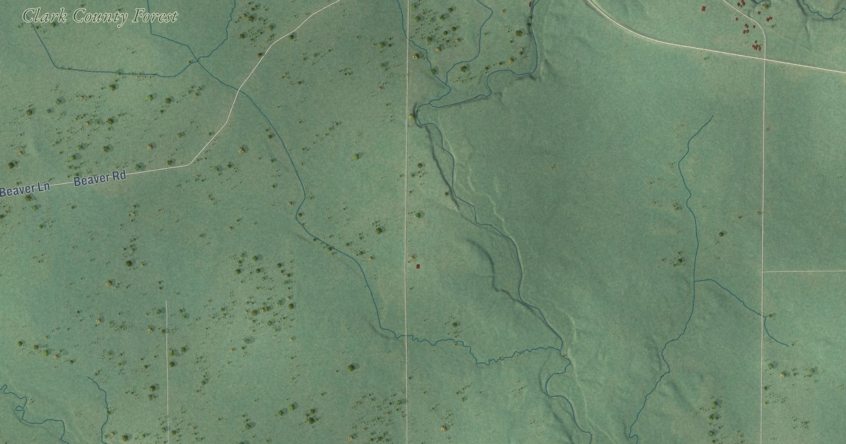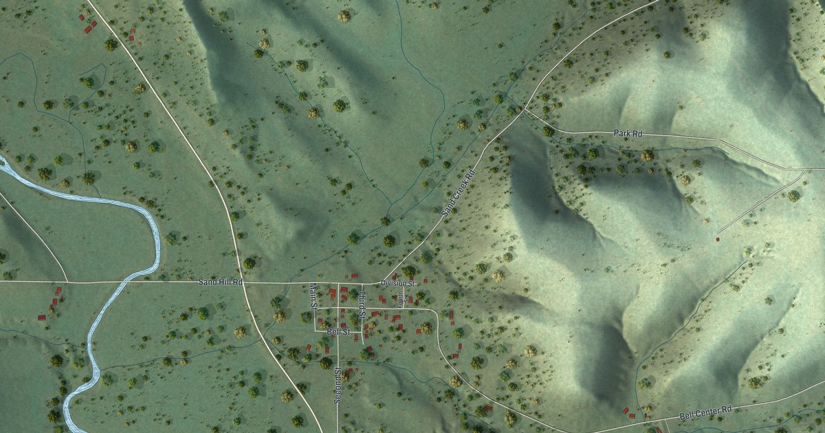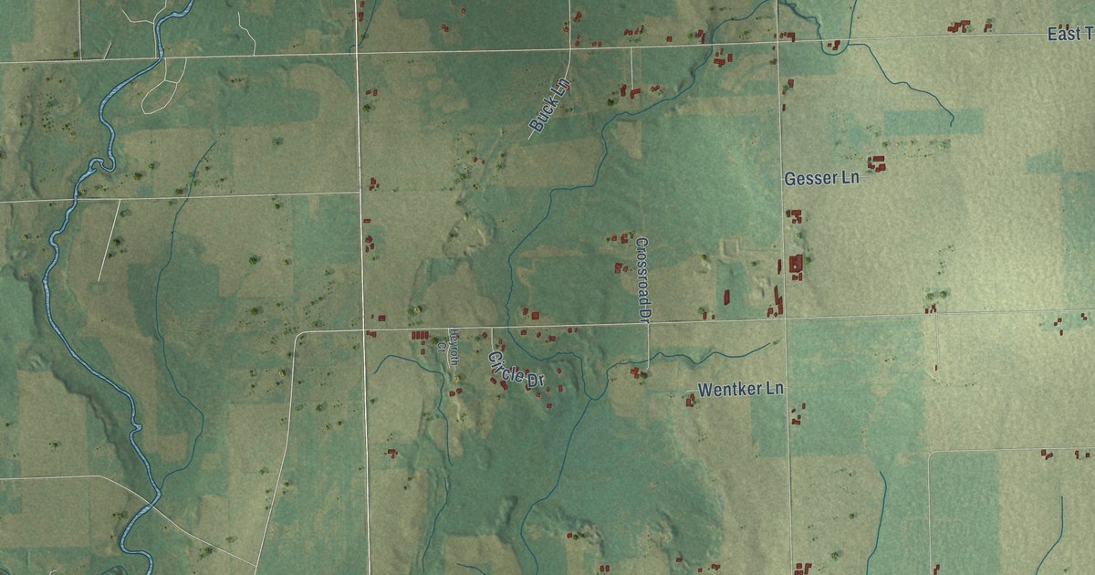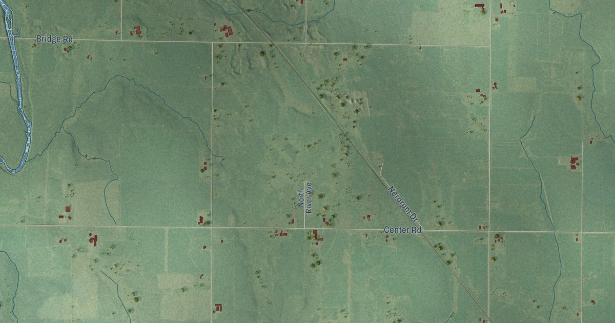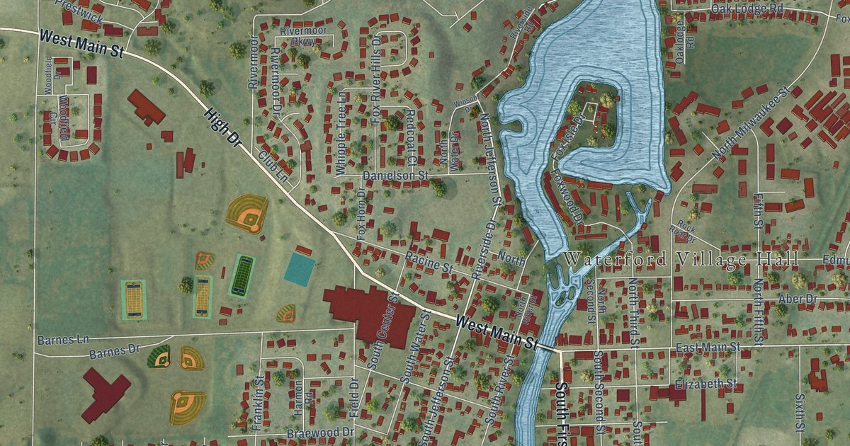
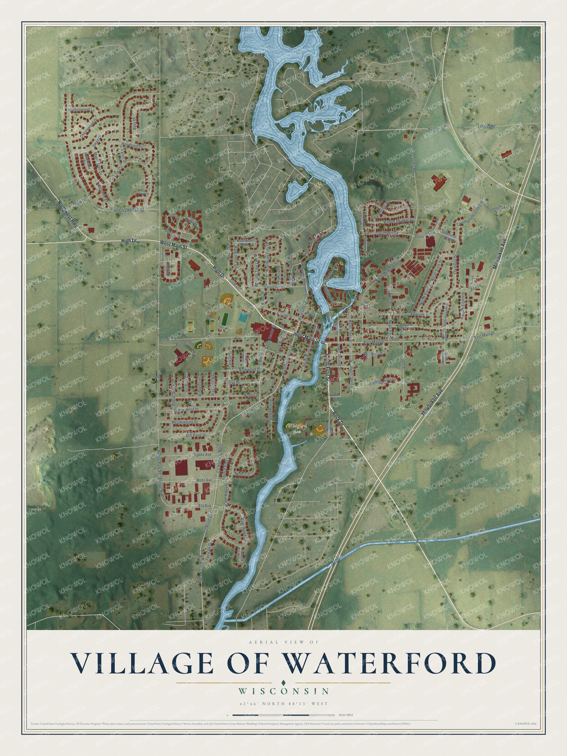
This beautifully detailed map of Waterford, Wisconsin was created in 2026 using aerial imagery combined with modern topographical, census, street and landmark data. It's a modern aerial view of Waterford in Racine County, Wisconsin, that combines modern data with a vintage aesthetic. The roads feature printed names, and if you look closely you can find your exact house accurately shown in its correct location.
Explore an aerial view of Waterford, Wisconsin
On this map you'll find Waterford Village Hall, Harbor Heights, Whitford Park, West Main Street, South First Street, Beck Drive, High Drive, Milwaukee Avenue, Northwest Highway, Co Road West, East Main Street, Kramer Drive, and more. Each red shape is a building, so zoom in on the preview and look for yours.
Here is a piece of Waterford history, in the words of the record. The History of Racine and Kenosha Counties puts it this way: "In 1838-39, emigration westward being at its height, Waterford received its share, and just prior to the first land sale, which was held in Milwaukee, in March, 1839, Moses Vilas, a surveyor, laid out the village."
Waterford is a village in Racine County. The Census Bureau counted 5,542 people here in 2020.
Take a closer look at the Waterford map
Names on this map
These names are printed on this map.
Places: Waterford Village Hall, Harbor Heights and Whitford Park.
Streets and roads: West Main Street, South First Street, Beck Drive, High Drive, Milwaukee Avenue, Northwest Highway, County Road West, East Main Street, Kramer Drive, Riverside Drive, North Jefferson Street, South Jefferson Street.
More street names, A to Z
Aber Drive, Annecy Park Circle, Augusta, Bakke Avenue, Barnes Drive, Barnes Lane, Bass Drive, Becker Road, Braewood Drive, Brookstone Drive, Browns Lake Road, Buena Park Road, Cherrywood Drive, Club Lane, Cornerstone Court, Cornerstone Crossing, Cottonwood Lane, County Highway West, Danielson Street, East Main Drive, Edmund Street, Ela Avenue, Elizabeth Street, Fairview Circle, Field Drive, Fifth Street, Forrest Lane, Fox Horn Drive, Fox Isle Drive, Fox Lane, Foxmead Cros, Foxmead Crossings, Foxmead Drive, Foxmeade Place, Fox River Hills Drive, Foxwalk Court, Foxwalk Drive, Foxwood Drive, Franklin Street, Front Street, Harbor Heights Drive, Harmon Road, Heron Drive, Hickory Hollow Road, Ivy Glen Court, Kramer Road, Maple Tree Drive, Meadowgate Drive, Mohr Avenue, Mohr Circle, North, North Eighth Street, North Fifth Street, North Milwaukee Street, North River Bay Road, North River Road, North River Street, North Second Street, North Seventh Street, North Sixth Street, North Third Street, North Water Drive, Oak Drive, Oak Lodge Road, Oaklodge Road, Park Drive, Park Place Court, Park Ridge Road, Poplar Grove Drive, Prairie Hill Way, Prestwick, Racine Street, Ravenwood Court, Redcoat Court, Rivermoor, Rivermoor Drive, Rivermoor Parkway, River Ridge Circle, River Ridge Drive, Riverside Road, Riverview Drive, Rock Roar Drive, Rohda Drive, Seventh Street, Sixth Street, South Center Street, South Loomis Road, South River Street, South Second Street, South Seventh Street, South Third Street, South Water Street, Spyglass Hill, Still Pond Drive, Swan Drive, Torch Pine Court, Trailview Crossing, Weber Street, Whipple Tree Lane, Willow Bend Drive, Winson Drive, Woodfield Circle, Woodfield Drive, Woodland Circle.
Created by KNOWOL in 2026. The buildings are small red shapes, the roads carry their printed names, and shaded relief shows the shape of the land. The title panel reads "AERIAL VIEW OF VILLAGE OF WATERFORD, WISCONSIN" with 42°46' NORTH 88°13' WEST.
It suits a den, a classroom or a front hall, and it makes a gift for anyone with Waterford roots. Open the preview and find the block you know. See sizes and frames for the Waterford map.