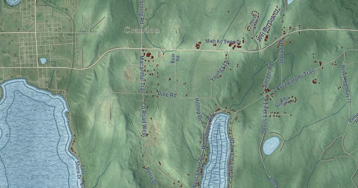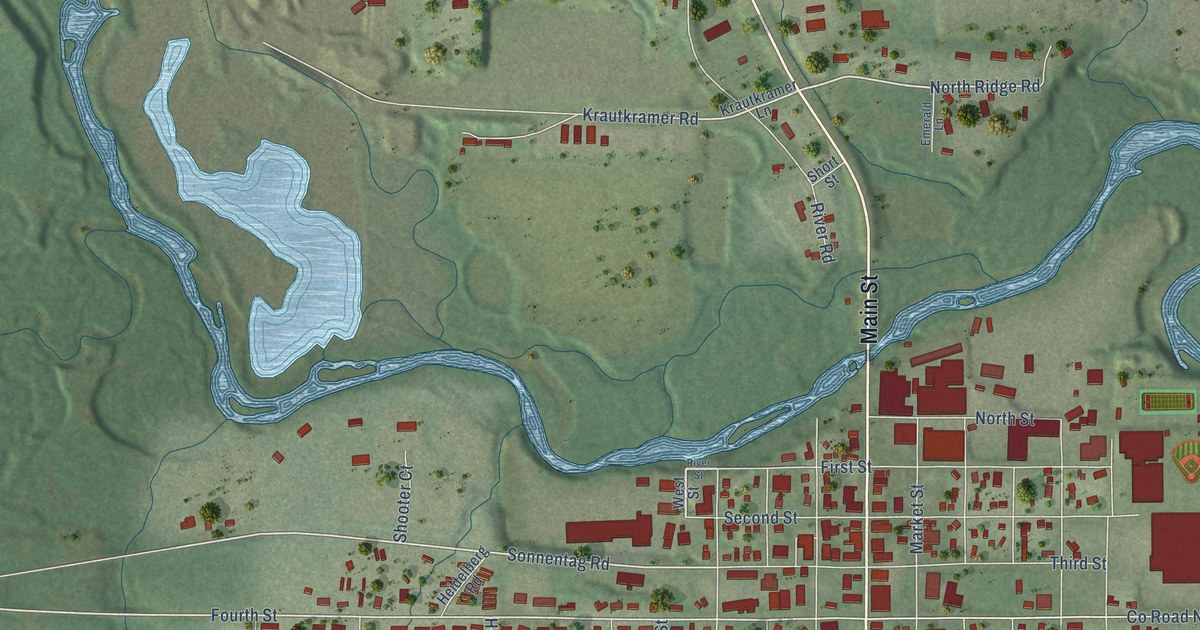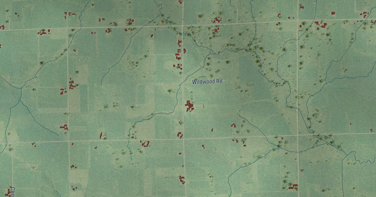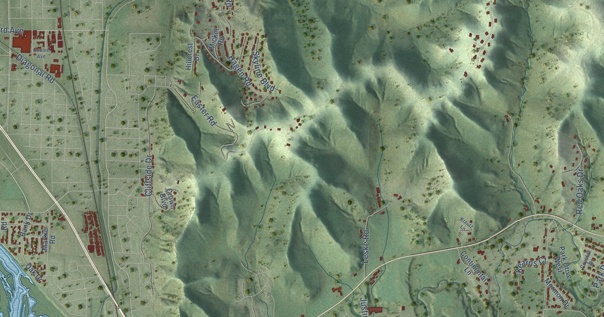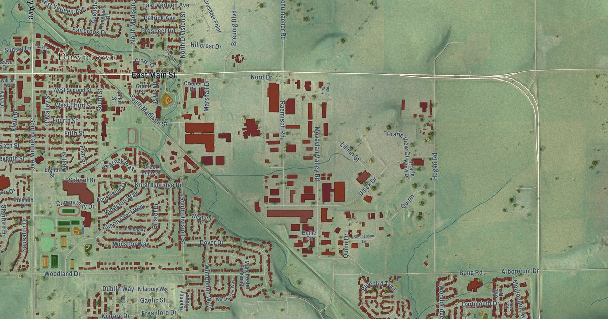
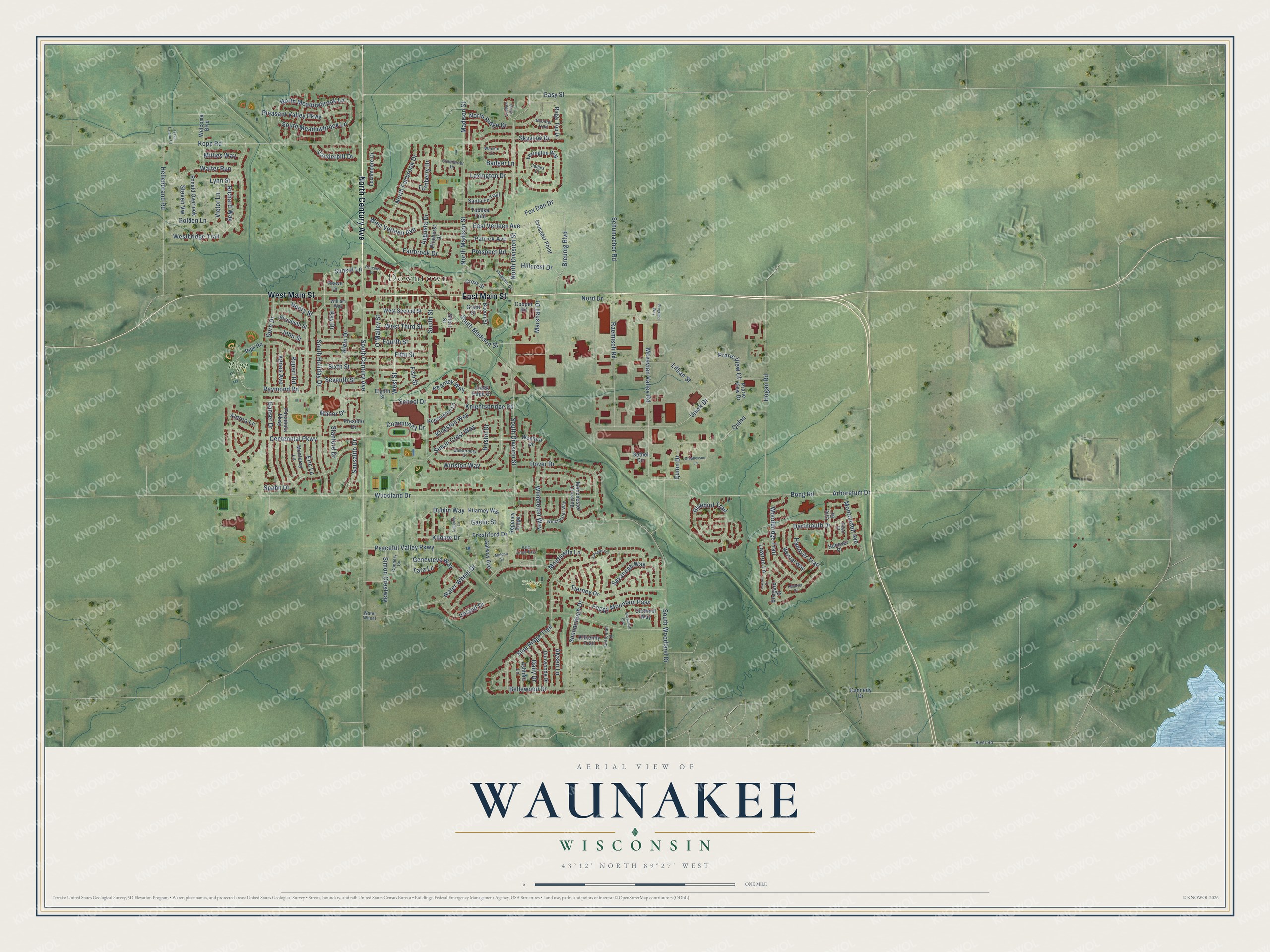
This beautifully detailed map of Waunakee, Wisconsin was created in 2026 using aerial imagery combined with modern topographical, census, street and landmark data. It's a modern aerial view of Waunakee in Dane County, Wisconsin, that combines modern data with a vintage aesthetic. The roads feature printed names, and if you look closely you can find your exact house accurately shown in its correct location.
Explore an aerial view of Waunakee, Wisconsin
On this map you'll find Downtown, Ripp Park, Tierney Park, North Century Avenue, West Main Street, East Main Street, West Street, Sunset Lane, North Madison Street, Klein Drive, Raymond Road, South Madison Street, and more. Each red shape is a building, so zoom in on the preview and look for yours.
Waunakee is a village in Dane County. The Census Bureau counted 14,879 people here in 2020. The map prints the town name in its title panel, with the coordinates below it.
Take a closer look at the Waunakee map
Names on this map
These names are printed on this map.
Places: Downtown, Ripp Park and Tierney Park.
Streets and roads: North Century Avenue, West Main Street, East Main Street, West Street, Sunset Lane, North Madison Street, Klein Drive, Raymond Road, South Madison Street, School Drive, East Verleen Avenue, Fairbrook Drive.
More street names, A to Z
Agnes Avenue, Aldora Lane, Alysen Lane, Arboretum Drive, Ashford Lane, Ashlawn Lane, Augusta Drive, Bacon Street, Badger Lane, Bellewood Drive, Bethel Circle, Bluebird Trail, Blue Ridge Trail, Bongard Drive, Bong Road, Boulder Trail, Breunig Boulevard, Bristol Drive, Canterbury Court, Cardinal Way, Centennial Parkway, Community Drive, Connery Cv, Cooper Road, Cottontail Drive, Creek Edge Court, Cross Street, Crusader Point, Daily Drive, Dartmouth Drive, Dorn Drive, Dover Drive, Dublin Way, Dunwoody Drive, Easy Street, Eighth Street, Elizabeth Street, Eric Lane, Fairveiw Drive, Fifth Street, Fish Street, Foggy Mountain Pass, Fourth Street, Fox Den Drive, Freshford Drive, Gaelic Street, Galway Avenue, Ganser Drive, Genevieve Way, Gile Drive, Golden Lane, Grant Street, Greenbrier Drive, Hanover Court, Hanover Place, Hanover Trail, Hellenbrand Road, Henry Street, Hillcrest Drive, Hogan Road, Ireland Drive, James Court, John Street, Kay Drive, Kearney Way, Kennedy Drive, Kensington Lane, Kilarney Way, Kildare Drive, Kilkenny Trail, Kingston Way, Knightsbridge Road, Kopp Road, Lawton Court, Lawton Lane, Lexington Drive, Lexington Way, Lillian Street, Limerick Lane, Lochmoore Drive, Lynn Street, Madison Street, Malone Street, Manchester Crossing, Manor Drive, Marshall Drive, Millies Way, Monteray Lane, Monticello Lane, Montondon Avenue, Movavian Valley Road, Nord Drive, North Division Street, North Fairbrook Drive, North Meadowbrook Lane, North Ridge Drive, O'Malley Street, Palm Grass Pass, Pasadena Parkway, Patrick Avenue, Peaceful Valley Parkway, Pinehurst Drive, Pleasant Drive, Pleasant Valley Parkway, Prarie View Court, Prarie View Drive, Presidio Drive, Progress Way, Prospect Road, Quinn, Quinn Drive, Raemisch Road, Reed Court, Reeve Drive, Regency Ridge, Richard Way, Ridge Top Drive, Ripp Road, River Road, Ronald Overlook, Rupert Road, Santa Fe Trail, Sausalito Drive, Savannah Boulevard, Savannah Way, Schumacher Road, Seventh Street, Shenandoah Drive, Short Street, Simon Crest Way, Simon Crestway, Sixth Street, Skyview Drive, South Century Avenue, South Division Street, South Holiday Drive, South Meadowbrook Lane, South Street, South Woodland Drive, Spahn Drive, Stanford Drive, Stephenson Lane, Steven Vw, Stone Edge Court, Tara Lane, Tierney Drive, Topeka Trail, Travis Larson Court, Turnberry Drive, Uniek Drive, Vanderbilt Drive, Victor Lane, Walter Run, Warrior Court, Water Wheel, Water Wheel Drive, Welcome Boulevard, Wenzel Way, Westbridge Trail, West Second Street, West Third Street, West Verleen Avenue, Wexford Drive, William Way, Wimbleton Way, Winchester Way, Winston Way, Woodbridge Trail, Woodland Drive.
Created by KNOWOL in 2026. The buildings are small red shapes, the roads carry their printed names, and shaded relief shows the shape of the land. The title panel reads "AERIAL VIEW OF WAUNAKEE, WISCONSIN" with 43°12' NORTH 89°27' WEST.
It looks right in a kitchen, an office or a den, and it's a gift for anyone who grew up in Waunakee or moved away. Open the preview and find your street. See sizes and frames for the Waunakee map.