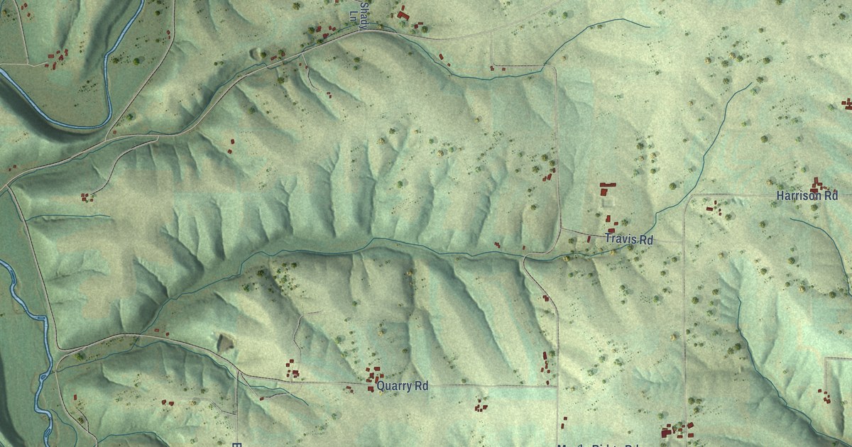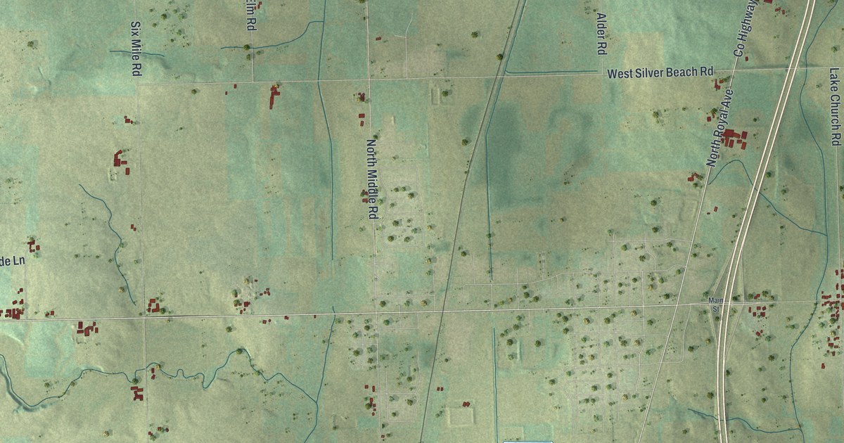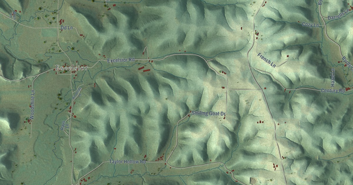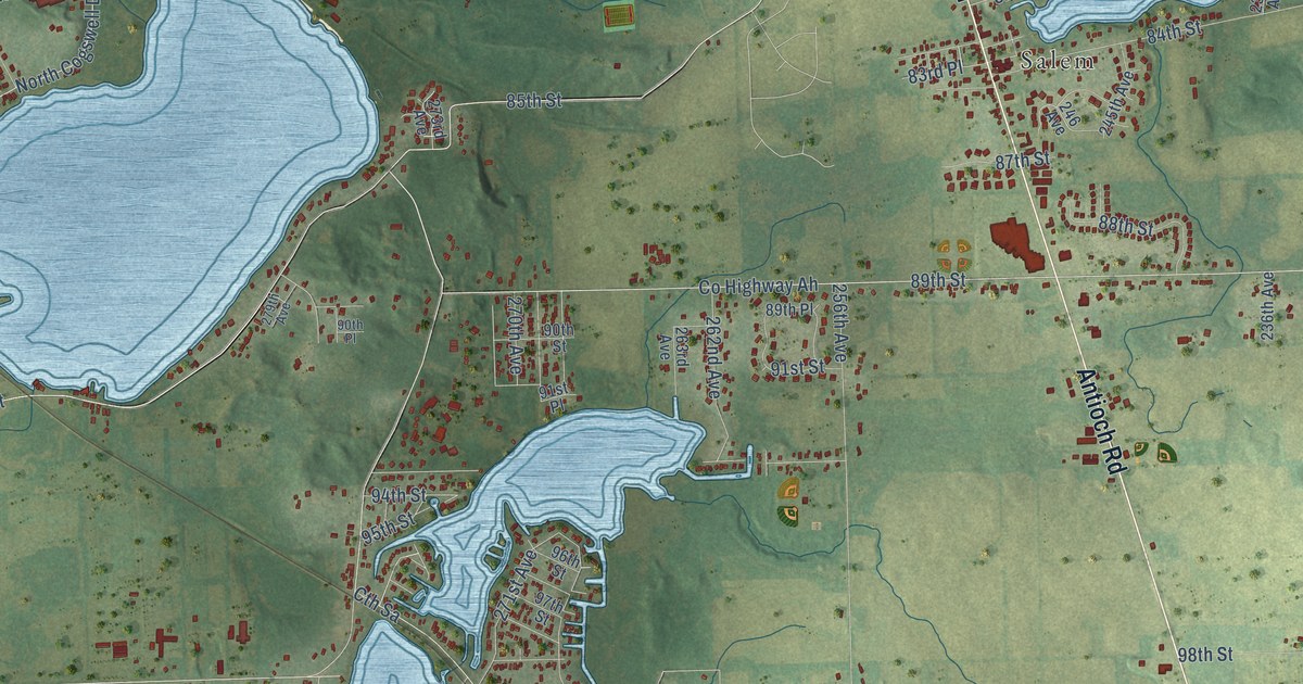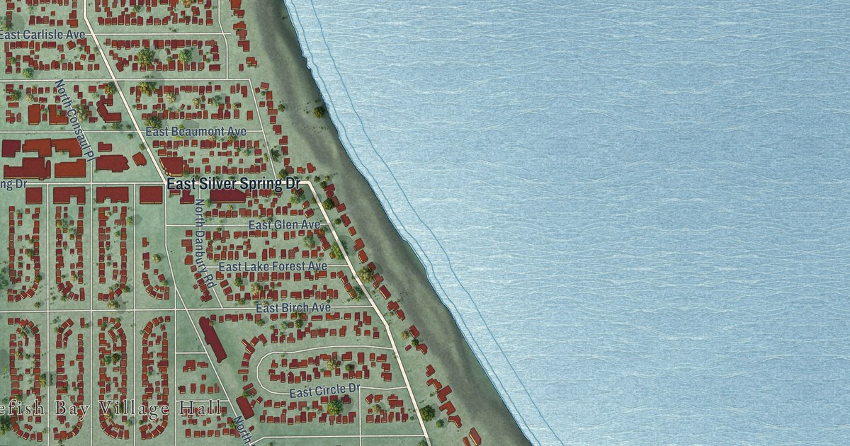
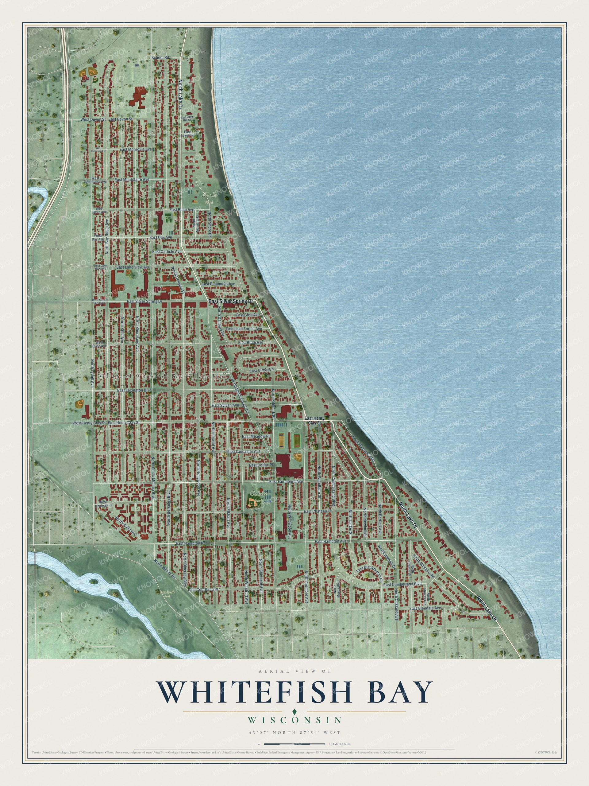
This beautifully detailed map of Whitefish Bay, Wisconsin was created in 2026 using aerial imagery combined with modern topographical, census, street and landmark data. It's a modern aerial view of Whitefish Bay in Milwaukee County, Wisconsin, that combines modern data with a vintage aesthetic. The roads feature printed names, and if you look closely you can find your exact house accurately shown in its correct location.
Explore an aerial view of Whitefish Bay, Wisconsin
On this map you'll find Village of Whitefish Bay Village Hall, Cahill Park, Klode Park, Estabrook Park, North Lake Drive, East Silver Spring Drive, East Fairmount Avenue, East Henry Clay Street, North Palisades Road, East Hampton Avenue, East Hampton Road, East Lake View Avenue, and more. Each red shape is a building, so zoom in on the preview and look for yours.
Here is a piece of Whitefish Bay history, in the words of the record. The Wisconsin Historical Society puts it this way: "The first village board meetings took place in a rented room at Lewis Scheife’s grocery store and later in the Fleetwood School."
Whitefish Bay is a village in Milwaukee County. The Census Bureau counted 14,954 people here in 2020.
Take a closer look at the Whitefish Bay map
Names on this map
These names are printed on this map.
Places: Village of Whitefish Bay Village Hall, Cahill Park, Klode Park and Estabrook Park.
Streets and roads: North Lake Drive, East Silver Spring Drive, East Fairmount Avenue, East Henry Clay Street, North Palisades Road, East Hampton Avenue, East Hampton Road, East Lake View Avenue, North Lydell Avenue, West Devon Street, North Santa Monica Boulevard, North Berkeley Boulevard.
More street names, A to Z
East Beaumont Avenue, East Belle Avenue, East Birch Avenue, East Blackthorne Place, East Carlisle Avenue, East Chateau Place, East Circle Drive, East Colfax Place, East Courtland Place, East Cumberland Boulevard, East Day Avenue, East Devon Street, East Glen Avenue, East Glendale Avenue, East Lake Forest Avenue, East Lake Hill Court, East Lake Terrace, East Lancaster Avenue, East Lexington Boulevard, East Meadow Place, East Monrovia Avenue, East Montclaire Avenue, East Sylvan Avenue, North Anita Avenue, North Ardmore Avenue, North Bartlett Avenue, North Bartlett Drive, North Bay Ridge Avenue, North Consaul Place, North Cramer Street, North Cumberland Boulevard, North Danbury Road, North Diversey Boulevard, North Elkhart Avenue, North Hollywood Avenue, North Idlewild Avenue, North Kent Avenue, North Kimbark Place, North Larkin Street, North Maitland Court, North Marlborough Drive, North Morris Boulevard, North Murray Avenue, North Newhall Street, North Oakland Avenue, North Sheffield Avenue, North Shore Drive, North Shoreland Avenue, North Wildwood Avenue, North Wilshire Road, North Wilson Drive, North Woodburn Street, North Woodruff Avenue, School Road, West Belle Avenue, West Birch Avenue, West Chateau Place, West Day Avenue, West Henry Clay Street, West Lake View Avenue, West Monrovia Avenue, West Montclaire Avenue, West Silver Spring Drive.
Created by KNOWOL in 2026. The buildings are small red shapes, the roads carry their printed names, and shaded relief shows the shape of the land. The title panel reads "AERIAL VIEW OF WHITEFISH BAY, WISCONSIN" with 43°07' NORTH 87°54' WEST.
It suits a den, a classroom or a front hall, and it makes a gift for anyone with Whitefish Bay roots. Open the preview and find the block you know. See sizes and frames for the Whitefish Bay map.