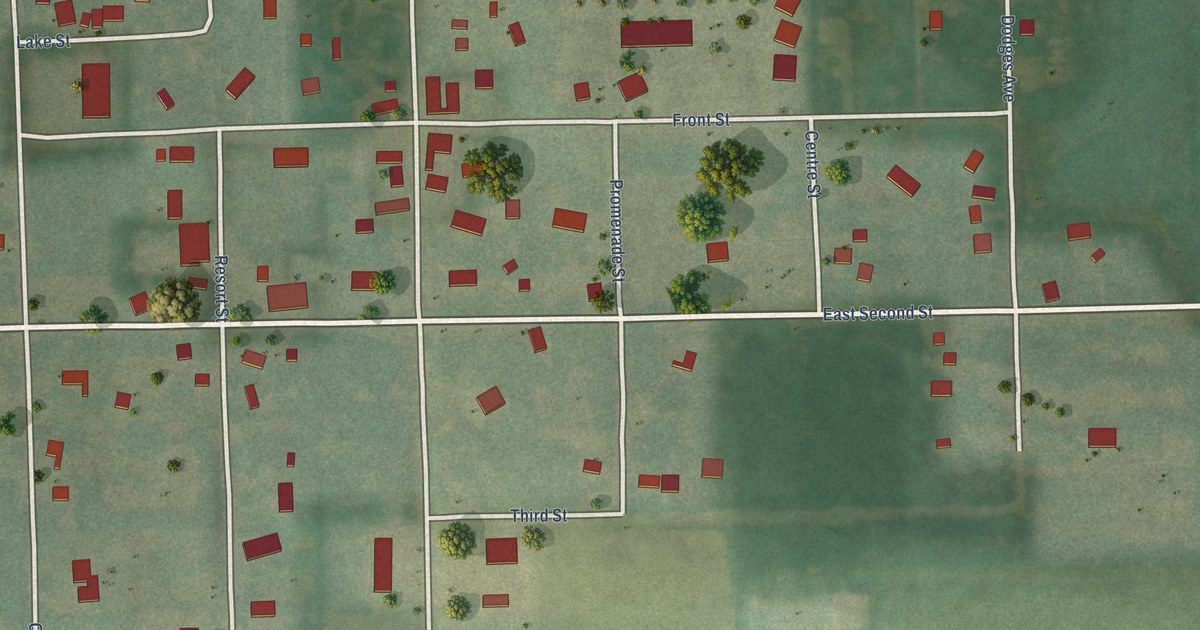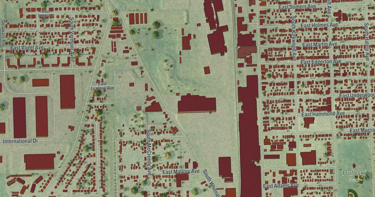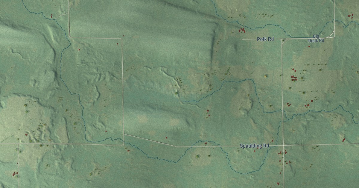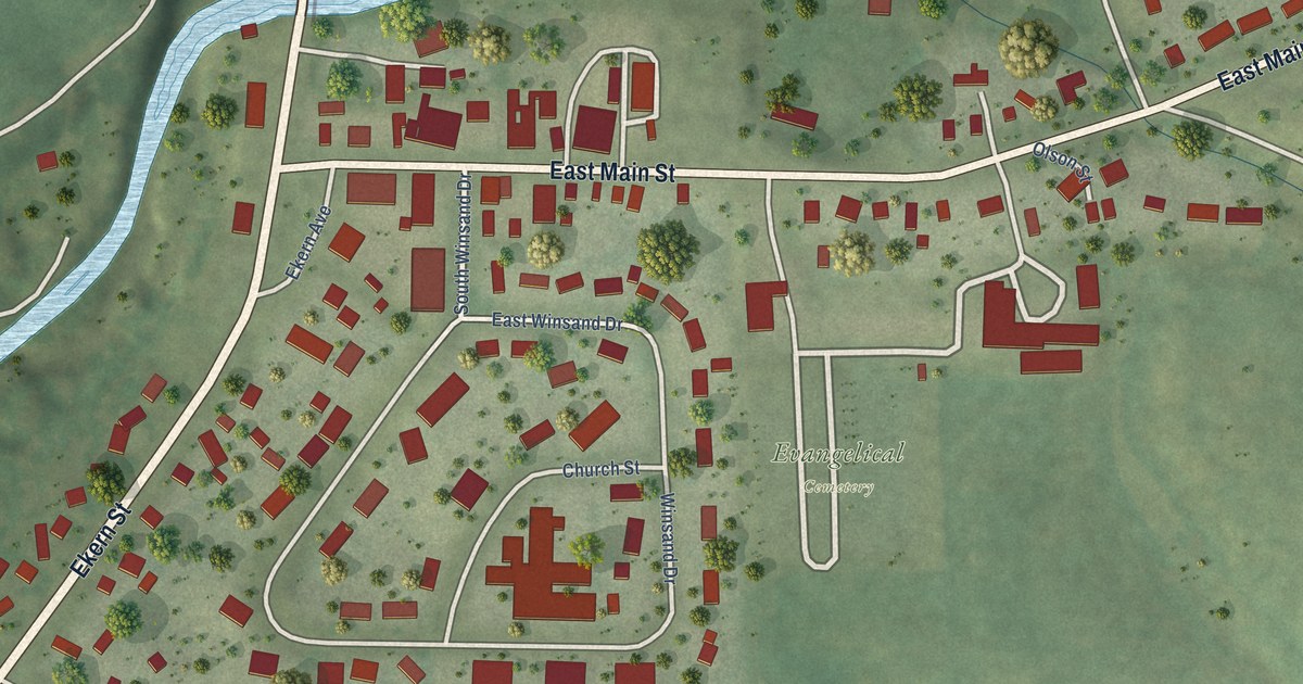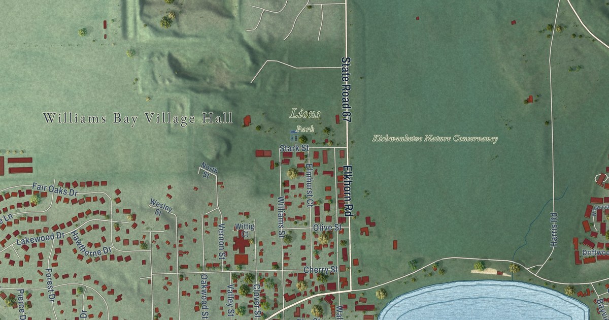
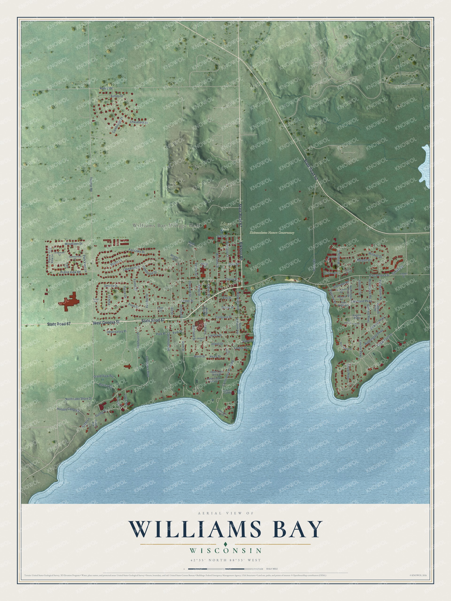
This beautifully detailed map of Williams Bay, Wisconsin was created in 2026 using aerial imagery combined with modern topographical, census, street and landmark data. It's a modern aerial view of Williams Bay in Walworth County, Wisconsin, that combines modern data with a vintage aesthetic. The roads feature printed names, and if you look closely you can find your exact house accurately shown in its correct location.
Explore an aerial view of Williams Bay, Wisconsin
On this map you'll find Williams Bay Village Hall, Kishwauketoe Nature Conservancy, Lions Park, West Geneva Street, State Road 67, Elkhorn Road, State Road 50, North Lake Shore Drive, Constance Boulevard, Circle Drive, East Geneva Street, Prairie View Road, and more. Each red shape is a building, so zoom in on the preview and look for yours.
Williams Bay is a village in Walworth County. The Census Bureau counted 2,953 people here in 2020. The map prints the town name in its title panel, with the coordinates below it.
Take a closer look at the Williams Bay map
Names on this map
These names are printed on this map.
Places: Williams Bay Village Hall, Kishwauketoe Nature Conservancy and Lions Park.
Streets and roads: West Geneva Street, State Road 67, Elkhorn Road, State Road 50, North Lake Shore Drive, Constance Boulevard, Circle Drive, East Geneva Street, Prairie View Road, Bayview Road, Cleveland Parkway, Lakewood Drive.
More street names, A to Z
Angel Lane, Ashley Drive, Bailey Road, Birch Walnut Drive, Bridgewater Circle, Cambridge Drive, Cedar Point Drive, Center Street, Chasefield Drive, Cherry Street, Circle Parkway, Clover Street, Collie Street, Conference Point Drive, Conference Point Road, Congress Club Road, Congress Street, Dartmouth Road, Driftwood Court, Elmhurst Court, Elm Street, Fair Oaks Drive, Forest Drive, Free Church Drive, Frost Circle, Frost Drive, Garfield Parkway, Geneva Street, Glenview Road, Grand View Avenue, Harris Road, Hawthorne Drive, Healy Drive, Hickory Street, Highland Road, Highland Street, Hill Street, Holiday Avenue, Holiday Camp Road, Humboldt Parkway, Jackson Parkway, Jefferson Place, Jewell Drive, Jewel Street, Johnson Terrace, Lackey Drive, Laurel Street, Lewis Road, Liechty Drive, Lincoln Drive, Lincoln Parkway, Lower Loch Vista Drive, Maple Lane, Menominee Road, Morgan Drive, North Cedar Point Drive, North Collie Street, North Street, Oak Birch Drive, Oakwood Street, Observatory Place, Olive Street, Orchard Street, Outing Street, Parkhurst Place, Park Lane, Park Place, Park Ridge Road, Park Street, Park View Lane, Pierce Drive, Potawatomi Road, Prairie View Lane, Ravina Road, Rogers Parkway, Smythe Drive, South Walworth Avenue, Spring Street, Stam Street, Stark Street, Summerfield Drive, Sunset Boulevard, Theatre Road, Trail Lane, Upper Loch Vista Drive, Valley Street, Van Bee Drive, Vernon Street, Walworth Avenue, Washington Parkway, Wesley Street, Wildwood Court, Willabay Drive, Williams Street, Wilmette Road, Wiswell Drive, Wittig Court, Woodlawn Drive, Wood Lawn Drive, Wood Street.
Created by KNOWOL in 2026. The buildings are small red shapes, the roads carry their printed names, and shaded relief shows the shape of the land. The title panel reads "AERIAL VIEW OF WILLIAMS BAY, WISCONSIN" with 42°35' NORTH 88°33' WEST.
Hang it in the hallway, the office or the cabin, or give it to someone who left Williams Bay and still calls it home. Open the preview and look for a street you know. See sizes and frames for the Williams Bay map.