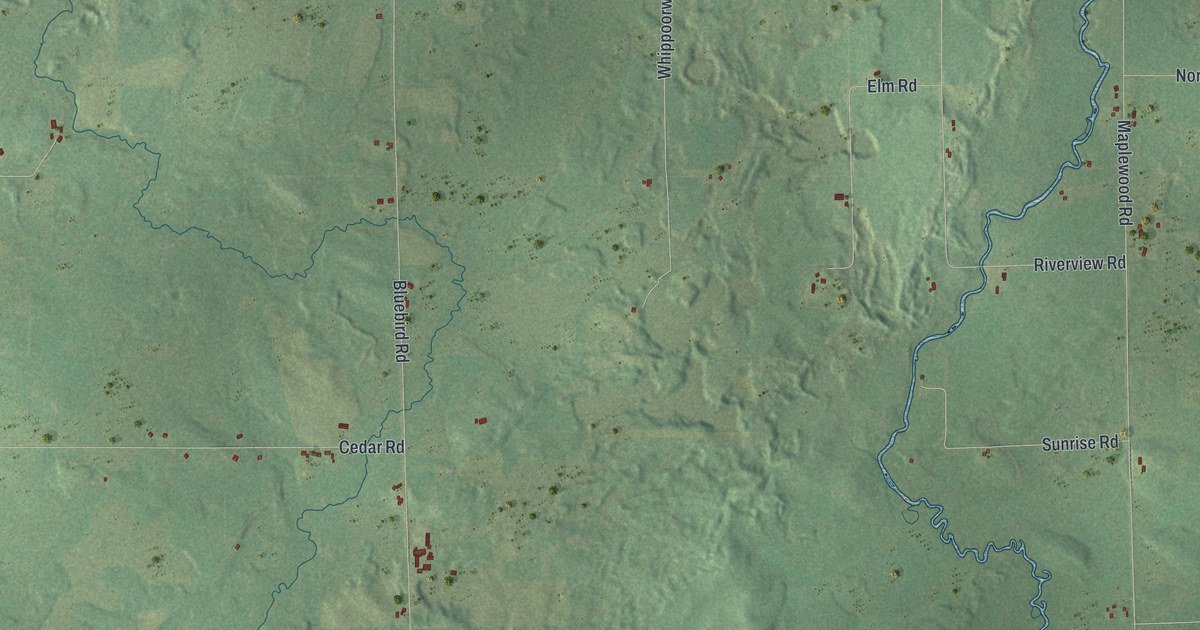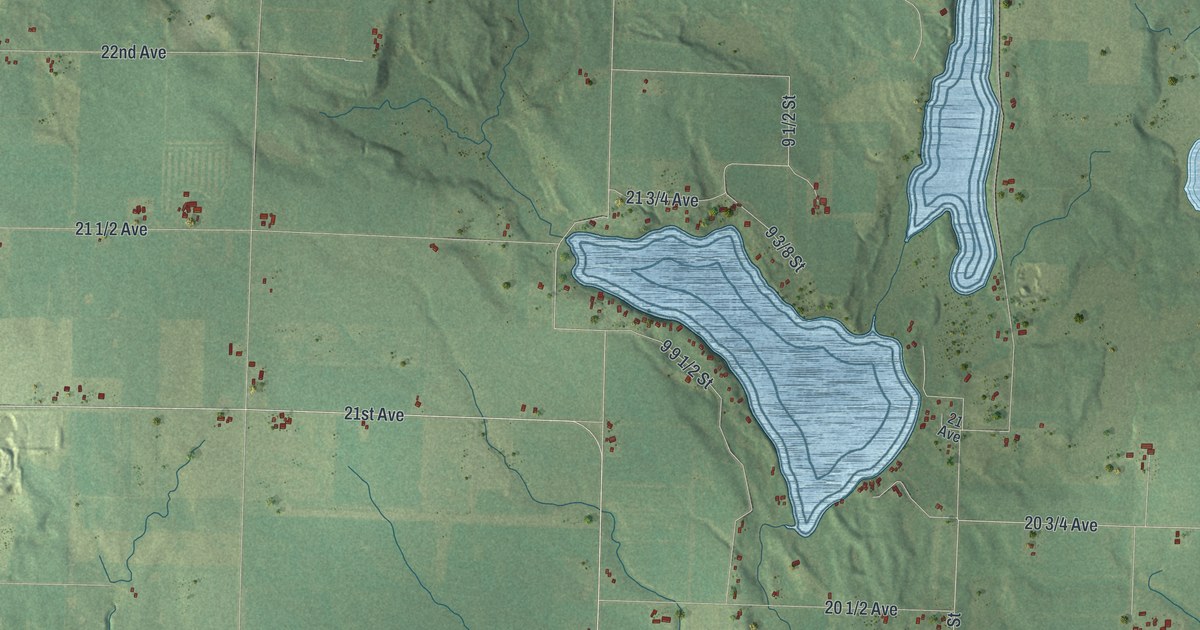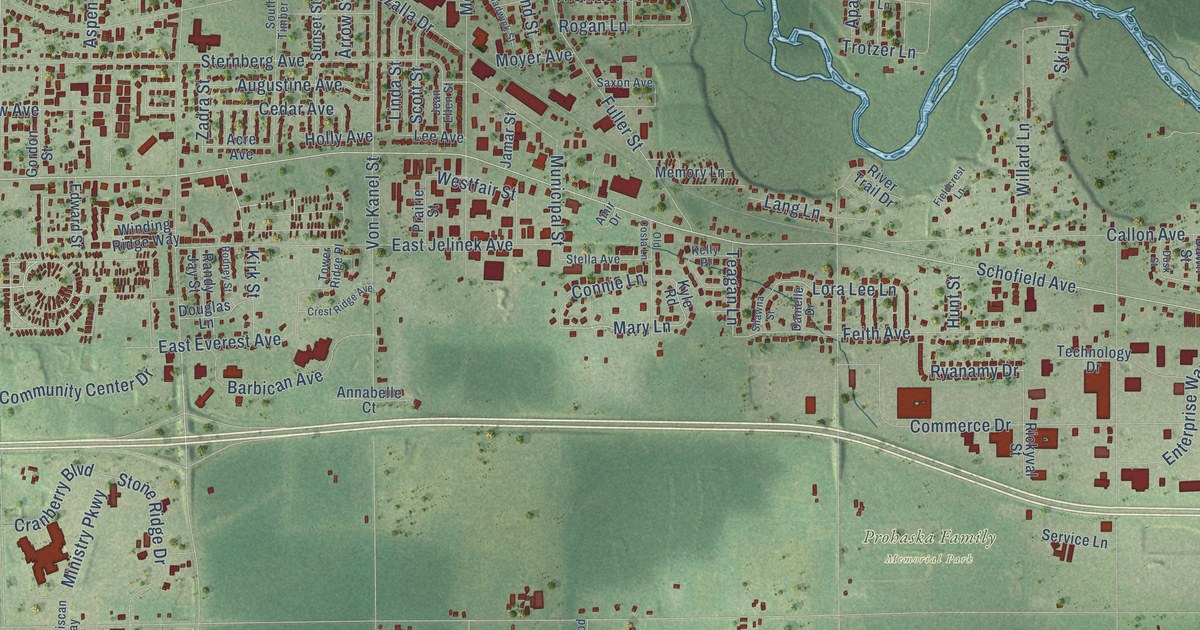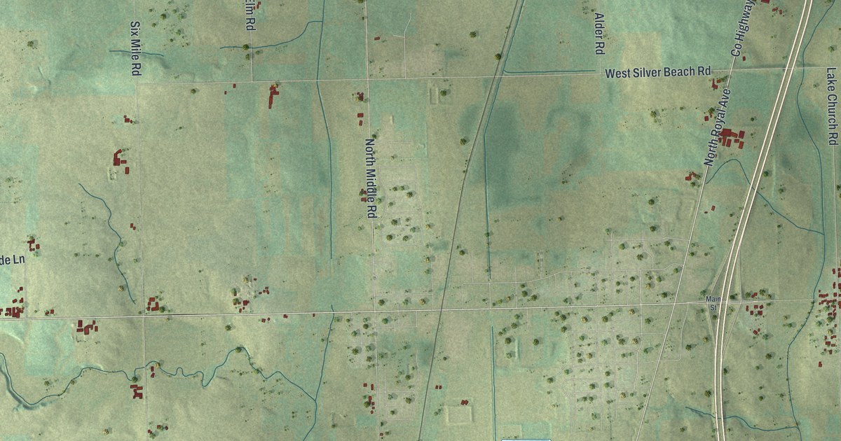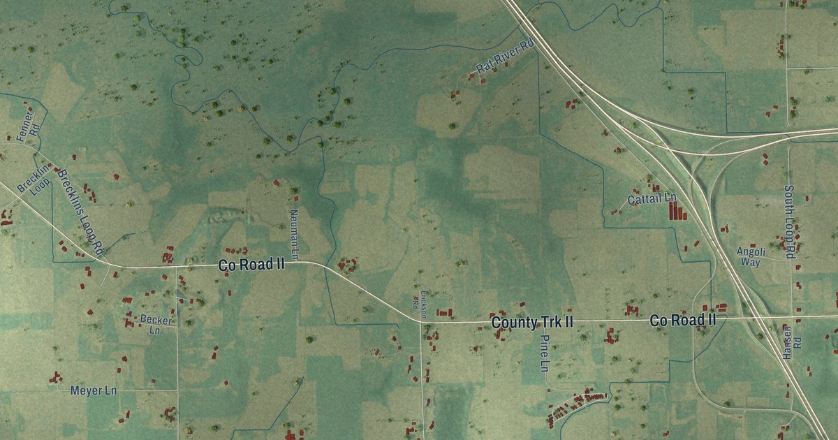
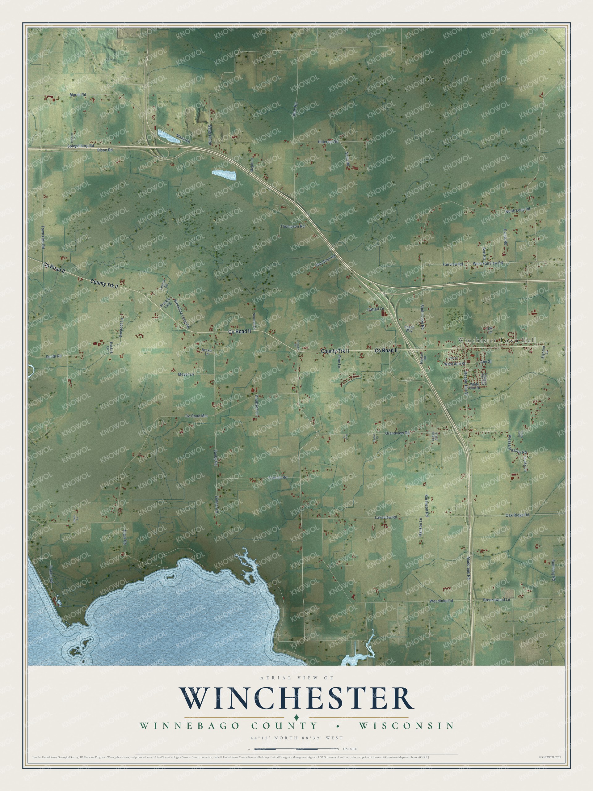
This beautifully detailed map of Winchester, Wisconsin was created in 2026 using aerial imagery combined with modern topographical, census, street and landmark data. It's a modern aerial view of Winchester in Winnebago County, Wisconsin, that combines modern data with a vintage aesthetic. The roads feature printed names, and if you look closely you can find your exact house accurately shown in its correct location.
Explore an aerial view of Winchester, Wisconsin
On this map you'll find Winchester Town Hall, Co Road II, County Trk II, Pine Lane, Oak Ridge Road, Bison Road, Co Road Mm, Grandview Road, Steeple Hill Drive, Mudcreek Road, Woodland Road, Manu Road, and more. Each red shape is a building, so zoom in on the preview and look for yours.
Here is a piece of Winchester history, in the words of the record. The History of Winnebago County puts it this way: "The town of Winchester was organized by the act of the county board, November 11, 1851."
Winchester is a town in Winnebago County. The Census Bureau counted 1,794 people here in 2020.
Take a closer look at the Winchester map
Names on this map
These names are printed on this map.
Places: Winchester Town Hall.
Streets and roads: County Road II, County Trk II, Pine Lane, Oak Ridge Road, Bison Road, County Road Mm, Grandview Road, Steeple Hill Drive, Mudcreek Road, Woodland Road, Manu Road, North Loop Road.
More street names, A to Z
Angoli Way, Ann Street, Anunson Lane, Becker Lane, Bockin Lane, Boe Road, Brecklin Loop, Brecklins Loop Road, Breezewood Lane, Brynmor Lane, Buskirk Lane, Cattail Lane, Clark Road, Dale Road, Erickson Road, Evans Road, Fairview Road, Fenner Road, Furman Road, Hansen Road, Hanson Lane, Heuer Lane, Hillcrest Road, Ihrig Lane, John Street, Jones Hill Lane, Lakeview Road, Linstedt Lane, Lucky Lane, Maple Lane, Marsh Road, Meyer Lane, Neuman Lane, Oak Lane, Pheasant Run Trail, Pleasant Valley Road, Rat River Road, Romberg Road, Sand Pit Road, Sauby Road, Selle Road, Sommers Lane, Sorenson Road, South Loop Road, South Road, Spiegelberg Road, Thompson Road, Town Line Road, Trails End Lane, Trauba Road, West Ann Street, West Fairview Road, White Pine Drive, Zehner Lane.
Created by KNOWOL in 2026. The buildings are small red shapes, the roads carry their printed names, and shaded relief shows the shape of the land. The title panel reads "AERIAL VIEW OF WINCHESTER, WINNEBAGO COUNTY • WISCONSIN" with 44°12' NORTH 88°39' WEST.
It suits a den, a classroom or a front hall, and it makes a gift for anyone with Winchester roots. Open the preview and find the block you know. See sizes and frames for the Winchester, Winnebago County map.