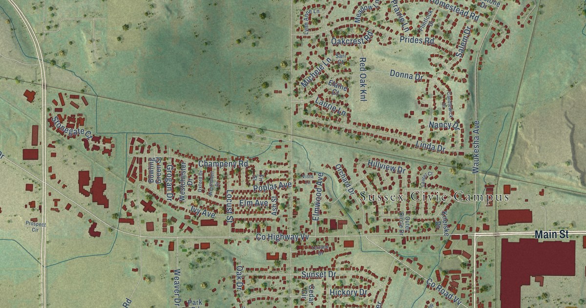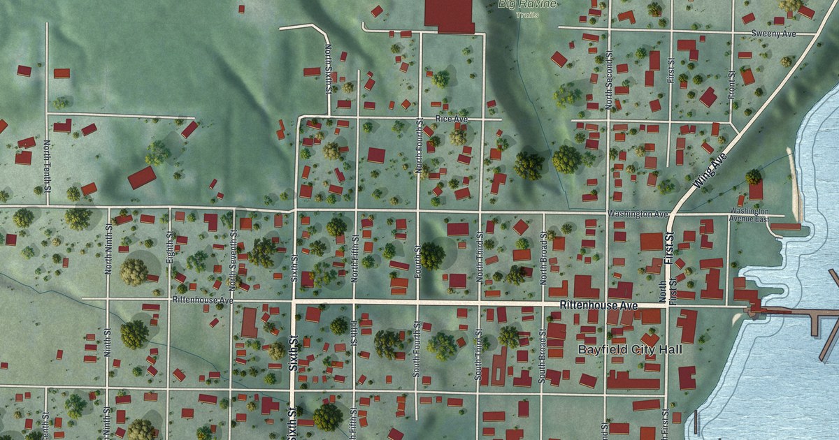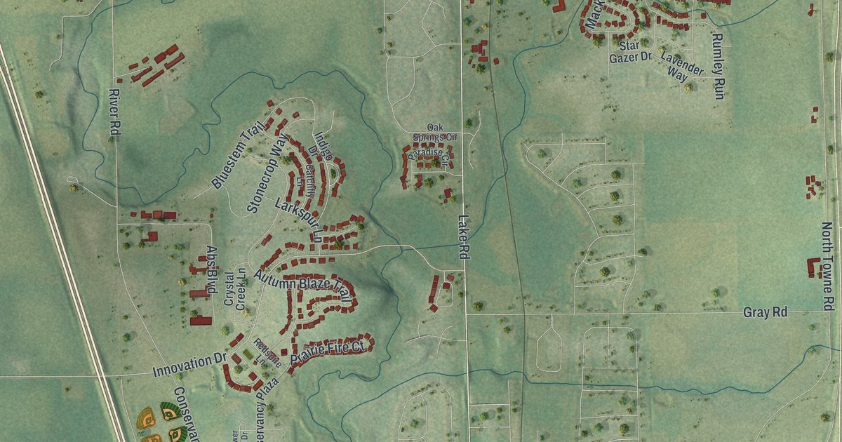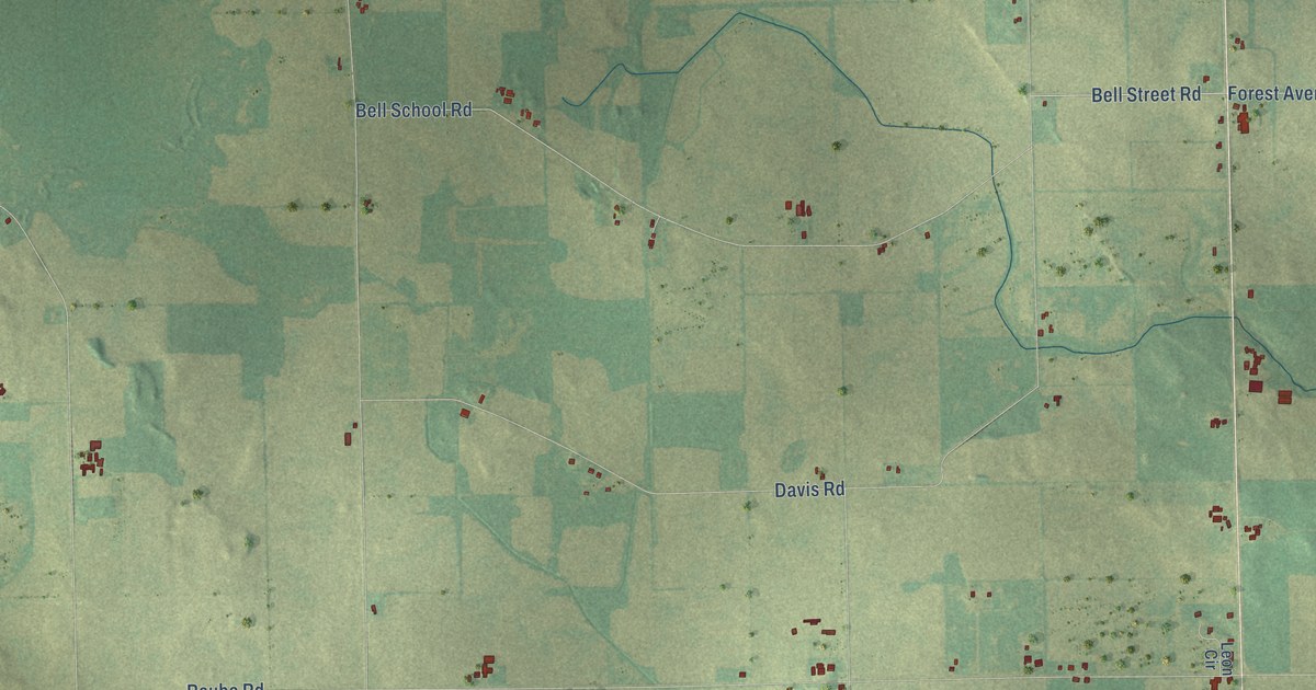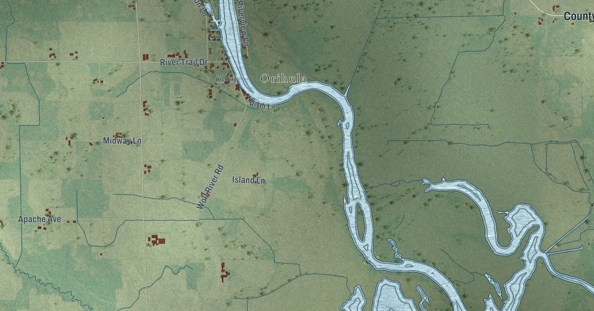
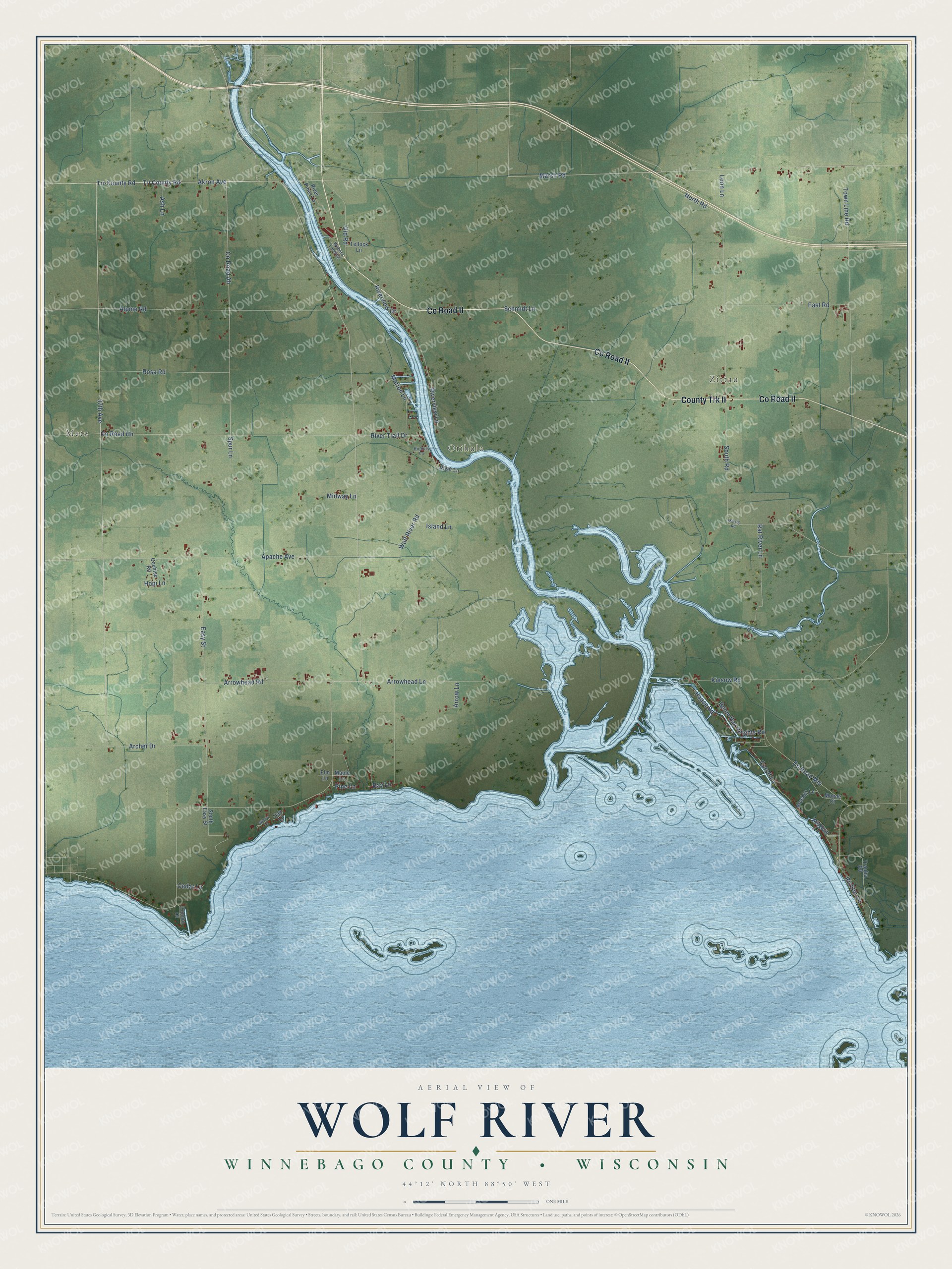
This beautifully detailed map of Wolf River, Wisconsin was created in 2026 using aerial imagery combined with modern topographical, census, street and landmark data. It's a modern aerial view of Wolf River in Winnebago County, Wisconsin, that combines modern data with a vintage aesthetic. The roads feature printed names, and if you look closely you can find your exact house accurately shown in its correct location.
Explore an aerial view of Wolf River, Wisconsin
On this map you'll find Metz, Zittau, Orihula, County Trk II, Co Road II, Akron Avenue, Tri County Road, Co Road Ah, Tri-County Road, 37th Avenue, Co Road Hh, River Trail Drive, and more. Each red shape is a building, so zoom in on the preview and look for yours.
Every town has a first chapter, and Wolf River is no exception. The History of Winnebago County puts it this way: "The town of Wolf River is named for the Wolf river, which runs through the town, cutting it in two parts, and remains unbridged in the town. Lake Poygan's shore borders the whole of its south line."
Wolf River is a town in Winnebago County. The Census Bureau counted 1,203 people here in 2020.
Take a closer look at the Wolf River map
Names on this map
These names are printed on this map.
Places: Metz, Zittau and Orihula.
Streets and roads: County Trk II, County Road II, Akron Avenue, Tri County Road, County Road Ah, Tri-County Road, 37th Avenue, County Road Hh, River Trail Drive, Arrowhead Road, Marsh Road, Apache Avenue.
More street names, A to Z
Alpine Road, Archer Drive, Arrowhead Lane, Arrow Lane, Ash Lane, Bay Lane, Bluebill Lane, Boom Bay Heights Road, Cedar Lane, Cochise Road, Conlon Court, County Road Mm, Cutoff Lane, East Road, Easy Street, Elm Lane, Haase Road, Hickory Lane, Hopi Lane, Island Lane, Kiesow Road, Loon Lane, Maple Lane, Marion Lane, Metzig Road, Midway Lane, Moede Court, North Road, Oak Lane, Old Road, Pine Lane, Rat River Lane, Richter Lane, River Lane, River Pines Lane, Riverview Drive, Riverview Lane, Rosa Road, Schmidt Lane, South Easy Street, South Road, Spur Lane, Tellock Lane, Town Line Road, Trauba Road, Webers Landing, Widgeon Lane, Willow Lane, Wolf River Road.
Created by KNOWOL in 2026. The buildings are small red shapes, the roads carry their printed names, and shaded relief shows the shape of the land. The title panel reads "AERIAL VIEW OF WOLF RIVER, WINNEBAGO COUNTY • WISCONSIN" with 44°12' NORTH 88°50' WEST.
Hang it in the hallway, the office or the cabin, or give it to someone who left Wolf River and still calls it home. Open the preview and look for a street you know. See sizes and frames for the Wolf River, Winnebago County map.