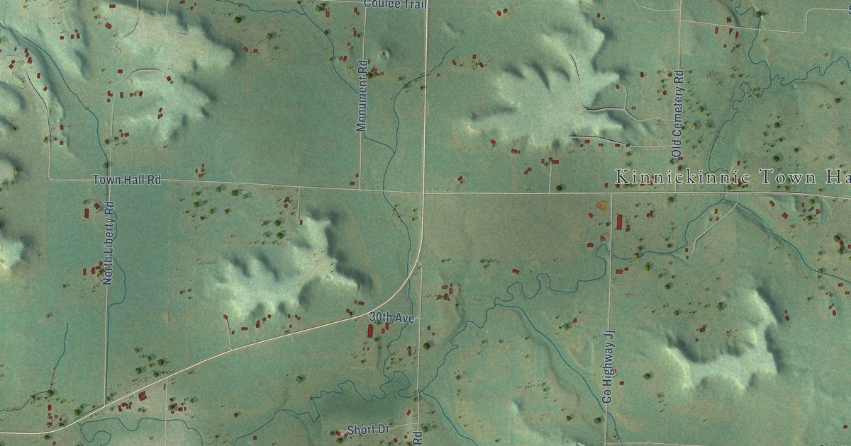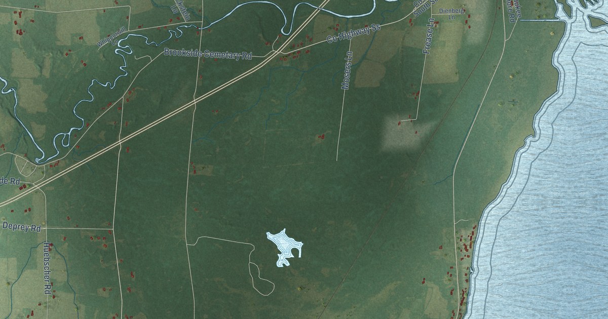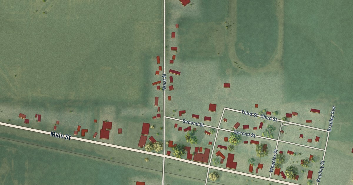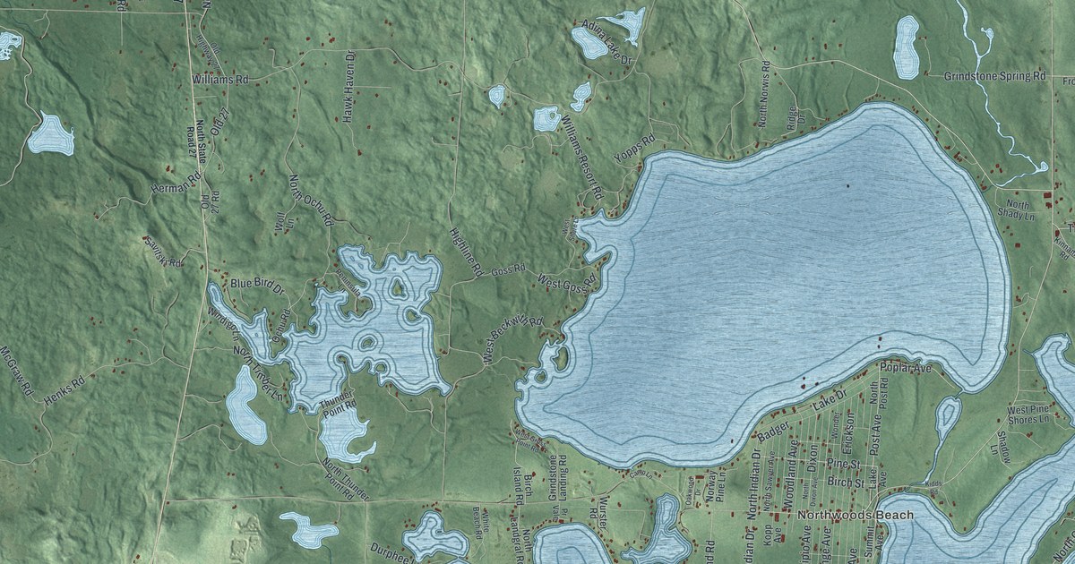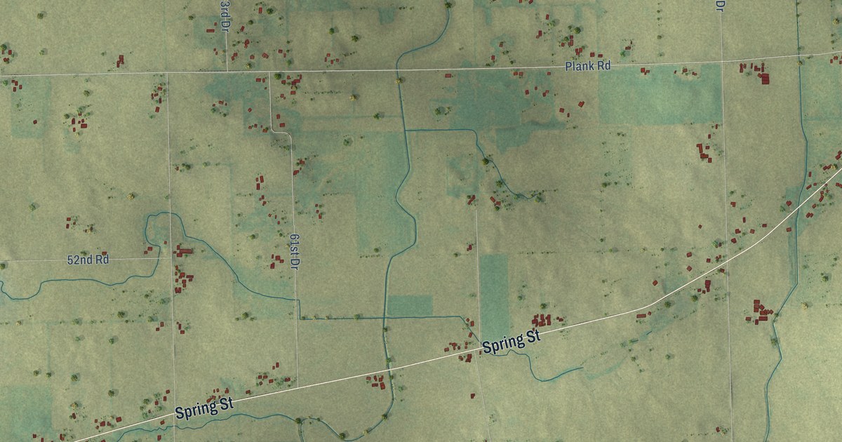
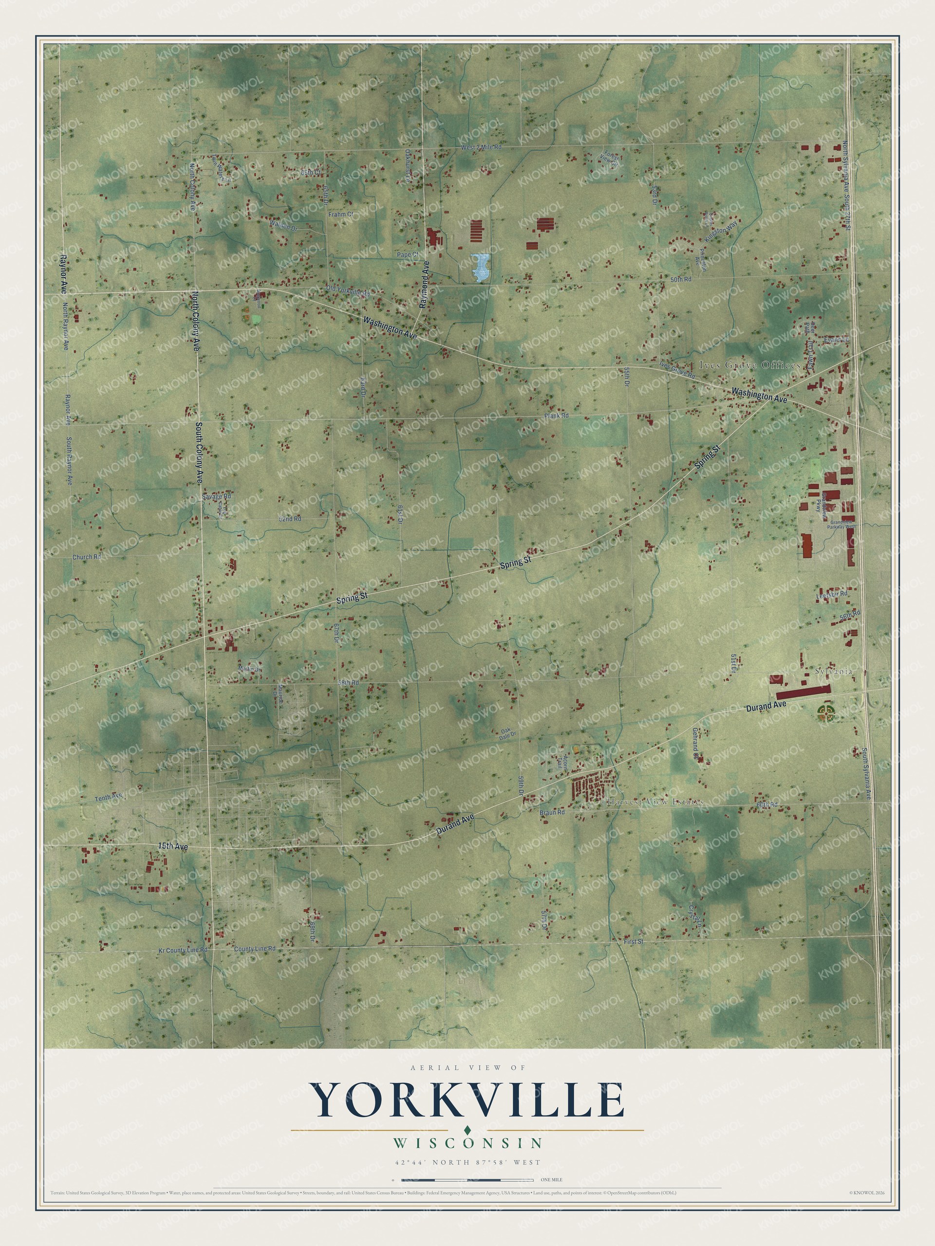
This beautifully detailed map of Yorkville, Wisconsin was created in 2026 using aerial imagery combined with modern topographical, census, street and landmark data. It's a modern aerial view of Yorkville in Racine County, Wisconsin, that combines modern data with a vintage aesthetic. The roads feature printed names, and if you look closely you can find your exact house accurately shown in its correct location.
Explore an aerial view of Yorkville, Wisconsin
On this map you'll find Ives Grove Offices, Sylvania, Harvest View Estates, South Colony Avenue, North Colony Avenue, Raynor Avenue, Durand Avenue, 15th Avenue, Spring Street, Washington Avenue, Raymond Avenue, West 2 Mile Road, and more. Each red shape is a building, so zoom in on the preview and look for yours.
Here is a piece of Yorkville history, in the words of the record. The History of Racine and Kenosha Counties puts it this way: "The first settlement was made in what is now Yorkville Township, in the summer of 1835, by Joseph Call, who located in the northeastern part of that town. He built a log house and subsequently kept a tavern."
Yorkville is a village in Racine County. The Census Bureau counted 3,246 people here in 2020.
Take a closer look at the Yorkville map
Names on this map
These names are printed on this map.
Places: Ives Grove Offices, Sylvania and Harvest View Estates.
Streets and roads: South Colony Avenue, North Colony Avenue, Raynor Avenue, Durand Avenue, 15th Avenue, Spring Street, Washington Avenue, Raymond Avenue, West 2 Mile Road, North Raynor Avenue, South Sylvania Avenue, South 27th Street.
More street names, A to Z
50th Road, 51st Drive, 52nd Road, 53rd Drive, 55th Drive, 56th Road, 57th Drive, 58th Road, 59th Drive, 60th Road, 61st Drive, 63rd Drive, 65th Court, 65th Drive, 67th Drive, 69th Drive, Acorn Trail, Braun Road, Church Road, County Line Road, Crystal Lane, Deer Path, Dogwood Court, Evans Lane, Fawn Trail, First Street, Forest View Circle, Frahm Court, Gehrand Court, Grandview Parkway, Grandview Parkway West, Ives Grove Road, Kingston Way, Kr County Line Road, Leetsbir Road, Log Cabin Drive, Martin Drive, Maurice Drive, North Sylvania Avenue, Oak Dale Drive, Oakhurst Lane, Old Yorkville Road, Pape Court, Plank Road, Princeton Avenue, Queens Brook Lane, Savage Road, South Raynor Avenue, Tenth Avenue, Twin Waters Lane, Walden Drive.
Created by KNOWOL in 2026. The buildings are small red shapes, the roads carry their printed names, and shaded relief shows the shape of the land. The title panel reads "AERIAL VIEW OF YORKVILLE, WISCONSIN" with 42°44' NORTH 87°58' WEST.
It suits a den, a classroom or a front hall, and it makes a gift for anyone with Yorkville roots. Open the preview and find the block you know. See sizes and frames for the Yorkville map.