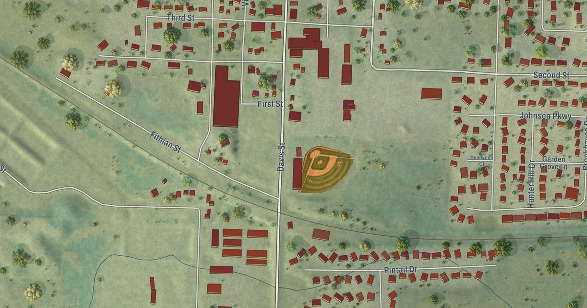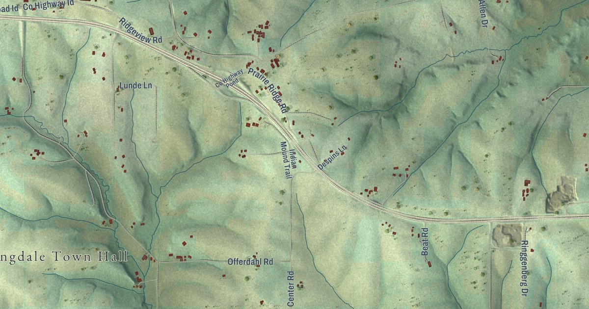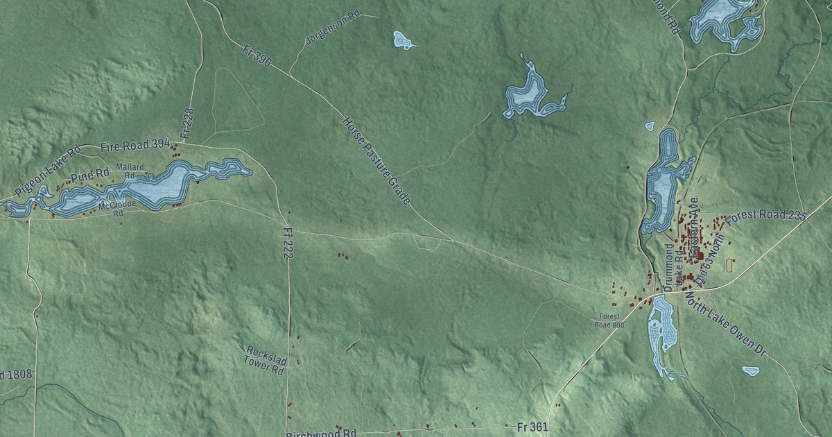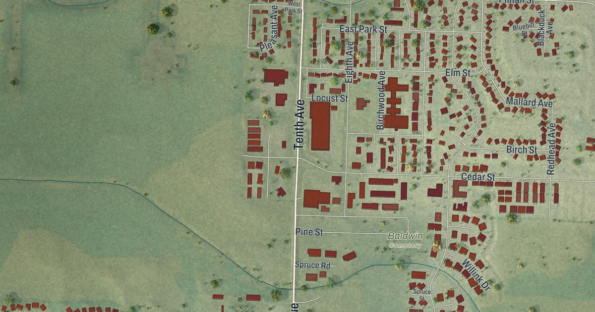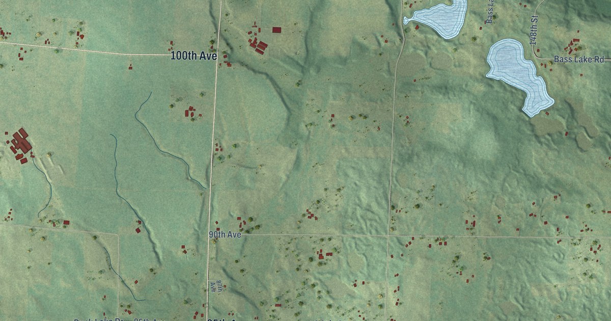
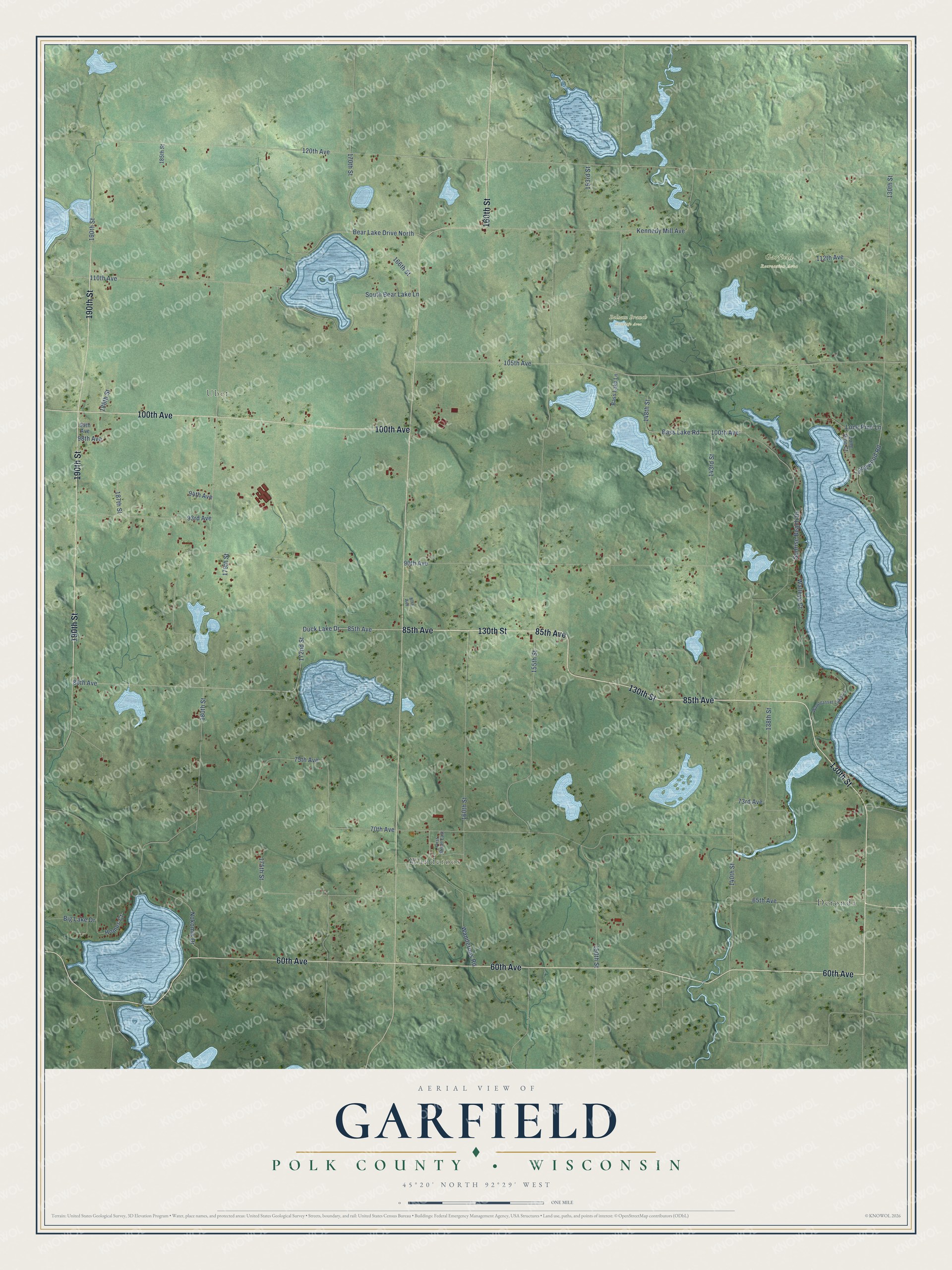
This beautifully detailed map of Garfield, Wisconsin was created in 2026 using aerial imagery combined with modern topographical, census, street and landmark data. It's a modern aerial view of Garfield in Polk County, Wisconsin, that combines modern data with a vintage aesthetic. The roads feature printed names, and if you look closely you can find your exact house accurately shown in its correct location.
Explore an aerial view of Garfield, Wisconsin
On this map you'll find Ubet, Wanderoos, Balsam Branch Wildlife Area, Garfield Recreation Area, Deronda, 130th Street, 85th Avenue, 60th Avenue, 190th Street, 160th Street, 100th Avenue, Duck Lake Drive, and more. Each red shape is a building, so zoom in on the preview and look for yours.
Garfield has a story worth telling. The History of the Saint Croix Valley puts it this way: "In 1887 the Minneapolis, Soo & Atlantic railway built through the town from west to east, in the southern part, this road is now called Minneapolis, St. Paul & Sioux Ste. Marie railroad."
Garfield is a town in Polk County. The Census Bureau counted 1,744 people here in 2020.
Take a closer look at the Garfield map
Names on this map
These names are printed on this map.
Places: Ubet, Wanderoos, Balsam Branch Wildlife Area, Garfield Recreation Area and Deronda.
Streets and roads: 130th Street, 85th Avenue, 60th Avenue, 190th Street, 160th Street, 100th Avenue, Duck Lake Drive, 80th Avenue, 172nd Street, 140th Street, Bass Lake Road, 90th Avenue.
More street names, A to Z
65th Avenue, 70th Avenue, 73rd Avenue, 75th Avenue, 87th Avenue, 93rd Avenue, 94th Avenue, 98th Avenue, 99th Avenue, 105th Avenue, 110th Avenue, 112th Avenue, 120th Avenue, 138th Street, 143rd Street, 148th Street, 150th Street, 153rd Street, 155th Street, 166th Street, 170th Street, 175th Street, 179th Street, 180th Street, 185th Street, 187th Street, 188th Street, Bass Lake Lane, Bear Lake Drive North, Big Lake Drive, First Street East, Homes Court, Kennedy Mill Avenue, Lone Pine Court, Lone Pine Lane, Longwood Road, Nokomis Drive, South Bear Lake Lane, Sunrise Beach Drive, Walleye Court, Wanderoos Road, Wapogasset Lake Lane.
Created by KNOWOL in 2026. The buildings are small red shapes, the roads carry their printed names, and shaded relief shows the shape of the land. The title panel reads "AERIAL VIEW OF GARFIELD, POLK COUNTY • WISCONSIN" with 45°20' NORTH 92°29' WEST.
It looks right in a kitchen, an office or a den, and it's a gift for anyone who grew up in Garfield or moved away. Open the preview and find your street. See sizes and frames for the Garfield, Polk County map.