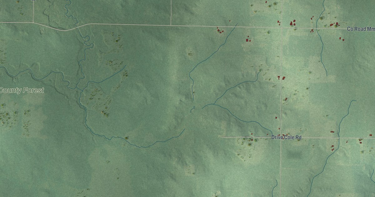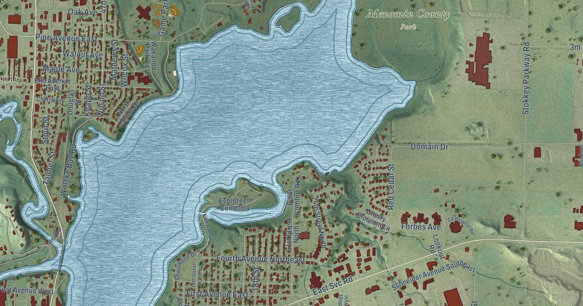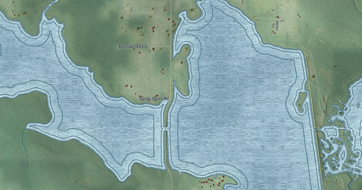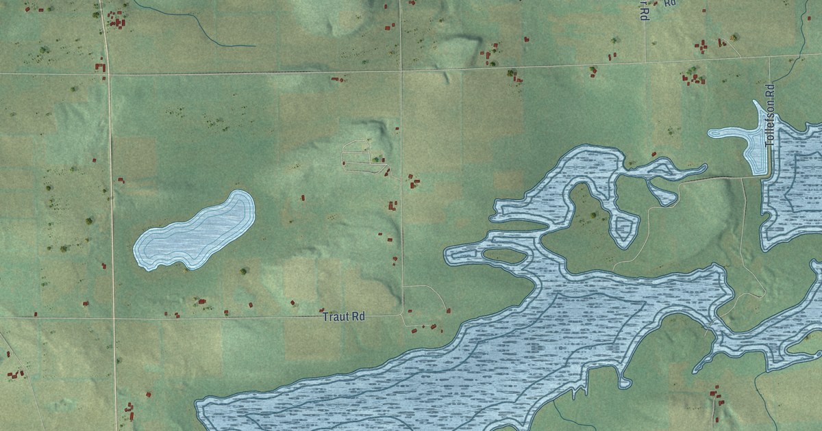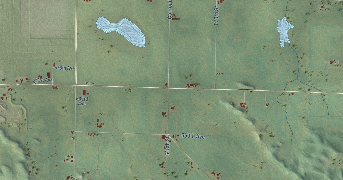
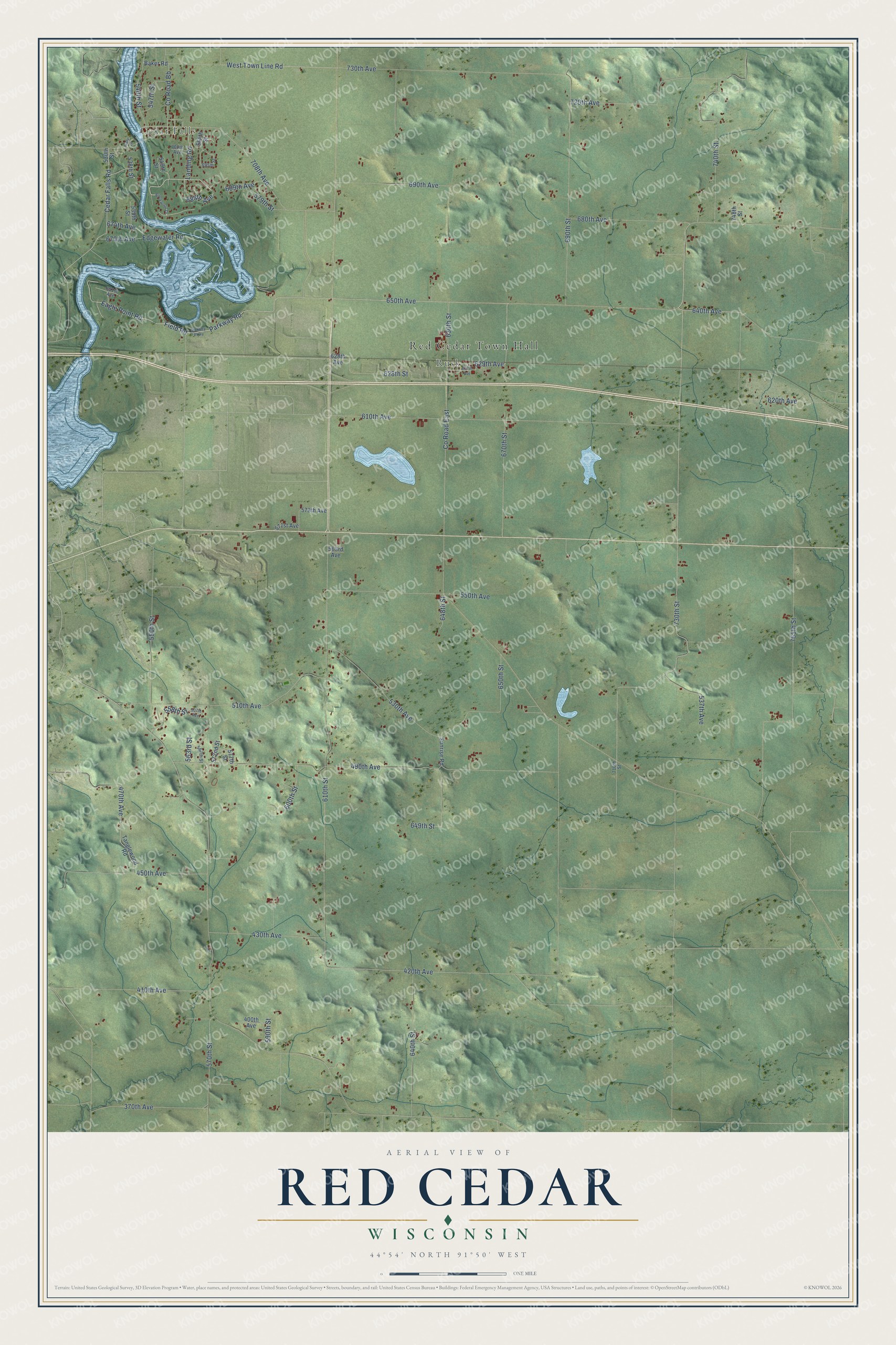
This beautifully detailed map of Red Cedar, Wisconsin was created in 2026 using aerial imagery combined with modern topographical, census, street and landmark data. It's a modern aerial view of Red Cedar in Dunn County, Wisconsin, that combines modern data with a vintage aesthetic. The roads feature printed names, and if you look closely you can find your exact house accurately shown in its correct location.
Explore an aerial view of Red Cedar, Wisconsin
On this map you'll find Red Cedar Town Hall, Cedar Falls, Rusk, 690th Avenue, 550th Street, Parkway Road, Field Road, Eagle Point Road, 650th Avenue, 730th Street, 684th Avenue, Cedar Falls Road, and more. Each red shape is a building, so zoom in on the preview and look for yours.
Here is a piece of Red Cedar history, in the words of the record. The History of Dunn County Wisconsin puts it this way: "Cedar Falls, located in Section 6, town of Red Cedar, and on the Red Cedar River, which is crossed at this point by a bridge, was settled in 1856."
Red Cedar is a town in Dunn County. The Census Bureau counted 2,359 people here in 2020.
Take a closer look at the Red Cedar map
Names on this map
These names are printed on this map.
Places: Red Cedar Town Hall, Cedar Falls and Rusk.
Streets and roads: 690th Avenue, 550th Street, Parkway Road, Field Road, Eagle Point Road, 650th Avenue, 730th Street, 684th Avenue, Cedar Falls Road, Landing Road, 558th Street, 629th Avenue.
More street names, A to Z
370th Avenue, 400th Avenue, 410th Avenue, 420th Avenue, 430th Avenue, 450th Avenue, 470th Avenue, 490th Avenue, 507th Avenue, 510th Avenue, 530th Avenue, 530th Street, 537th Avenue, 538th Street, 539th Street, 540th Street, 547th Street, 549th Street, 550th Avenue, 563rd Avenue, 563rd Street, 564th Street, 567th Street, 570th Street, 571st Avenue, 572nd Street, 577th Street, 578th Avenue, 579th Street, 590th Street, 600th Street, 610th Avenue, 610th Street, 620th Avenue, 627th Avenue, 628th Avenue, 628th Street, 630th Street, 640th Avenue, 640th Street, 648th Street, 649th Street, 650th Street, 651st Avenue, 670th Avenue, 670th Street, 674th Avenue, 680th Avenue, 689th Avenue, 690th Street, 695th Street, 700th Avenue, 708th Avenue, 710th Street, 720th Avenue, 730th Avenue, 740th Street, 748th Street, 765th Street, Baker Road, Brookwood Drive, County Road Bb, County Road East, Edgewater Road, Gary Lane, Stokkey Parkway, Sunrise Road, Tanglewood Road, West Town Line Road.
Created by KNOWOL in 2026. The buildings are small red shapes, the roads carry their printed names, and shaded relief shows the shape of the land. The title panel reads "AERIAL VIEW OF RED CEDAR, WISCONSIN" with 44°54' NORTH 91°50' WEST.
It suits a den, a classroom or a front hall, and it makes a gift for anyone with Red Cedar roots. Open the preview and find the block you know. See sizes and frames for the Red Cedar map.