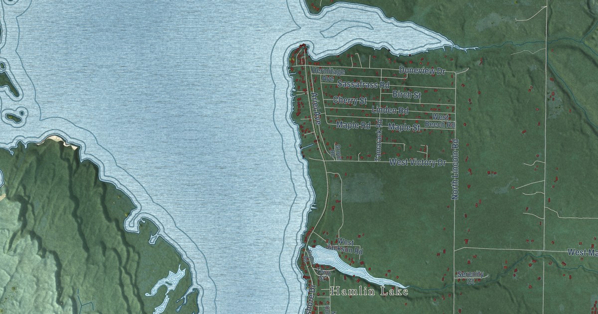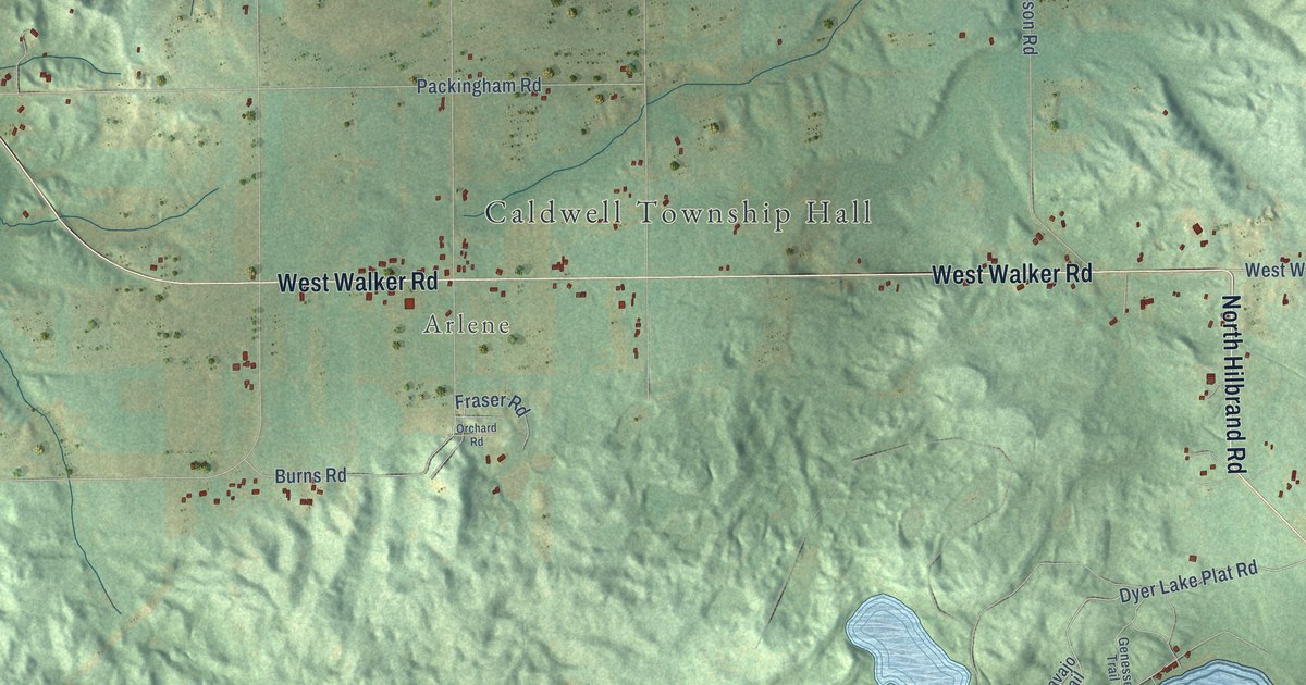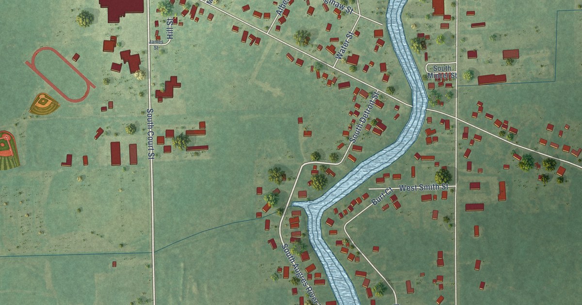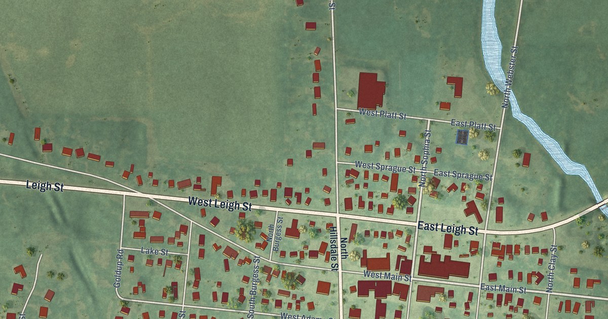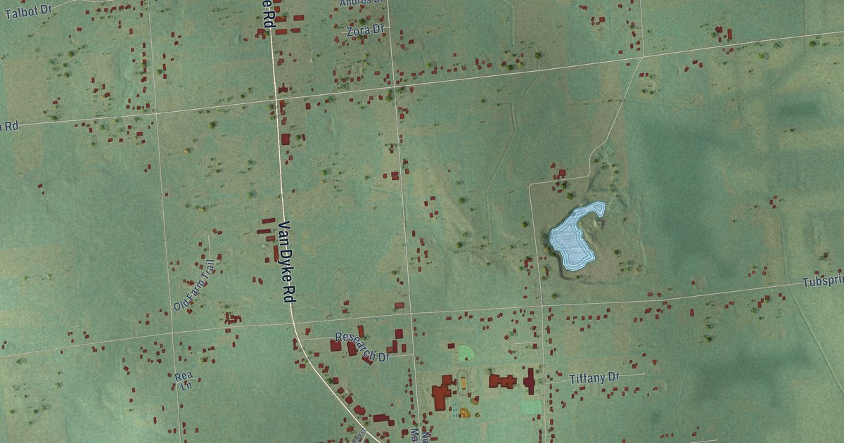
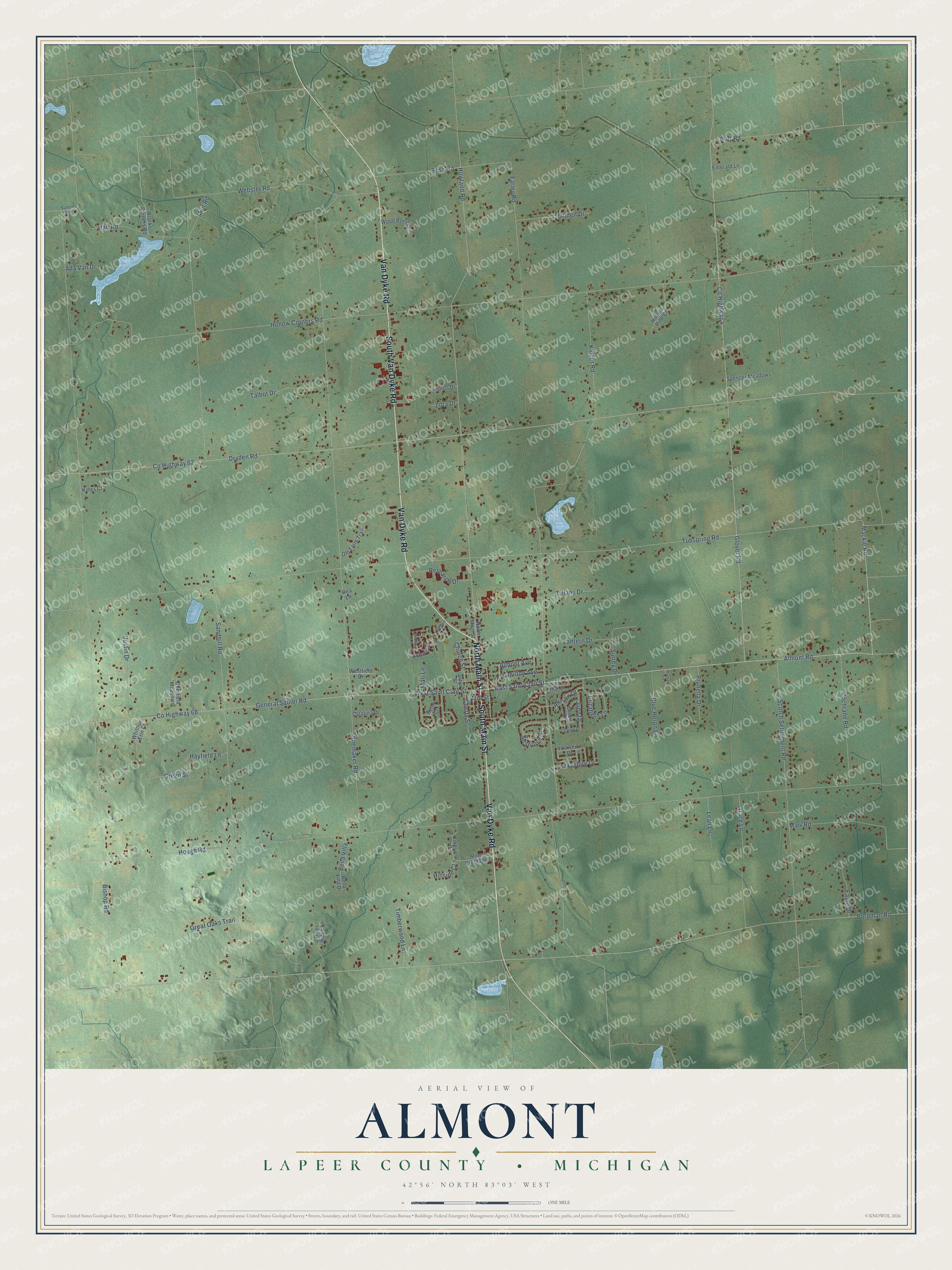
This beautifully detailed map of Almont, Michigan was created in 2026 using aerial imagery combined with modern topographical, census, street and landmark data. It's a modern aerial view of Almont in Lapeer County, Michigan, that combines modern data with a vintage aesthetic. The roads feature printed names, and if you look closely you can find your exact house accurately shown in its correct location.
Explore an aerial view of Almont, Michigan
On this map you'll find North Main Street, Van Dyke Road, South Main Street, South Van Dyke Road, Co Highway 68, Almont Road, East Saint Clair Street, Mackie Road, West Saint Clair Street, Tubspring Road, Howland Road, General Squier Road, and more. Each red shape is a building, so zoom in on the preview and look for yours.
Here is a piece of Almont history, in the words of the record. The History of Lapeer County puts it this way: "Mr. Smith is one of the few now living who were present at the first town meeting of the town of Almont (then Bristol) which was held in April, 1834."
The Census Bureau counted 6,961 people here in 2020.
Take a closer look at the Almont map
Names on this map
These names are printed on this map.
Streets and roads: North Main Street, Van Dyke Road, South Main Street, South Van Dyke Road, County Highway 68, Almont Road, East Saint Clair Street, Mackie Road, West Saint Clair Street, Tubspring Road, Howland Road, General Squier Road.
More street names, A to Z
Ada Van Drive, Allison Drive, Almont Avenue, Amherst Lane, Andres Drive, Ascot Circle, Bella Villa, Bella Villa Drive, Bernice Drive, Bishop Road, Blacks Corners Road, Blue Heron Lane, Bordman Road, Burt Road, Catalina Drive, Cherry Street, Church Street, Cochrane Road, County Highway 4, County Highway 62, Dawn Drive, Day Street, Deerfield Meadows, Drakeshire Drive, Dryden Road, Eagle Drive, East Ridge Drive, Elizabeth Lane, Emerald Lane, Farley Road, Glover Road, Grace Lane, Great Oaks Trail, Green Street, Hall Road, Hamilton Avenue, Hayfield Lane, Heim Court, Hillside Court, Hollow Corners Road, Hollow Pine Court, Hough Road, June Drive, Justin Drive, Kidder Road, Kings Court, Lakeview Drive, Lantern Drive, Leah Lane, Linden Drive, Mari Lane, Marr Road, McIntosh Drive, Midvale Lane, Mill Street, Muir Road, Old Farm Trail, Pine Crest Boulevard, Prunella Drive, Rea Lane, Research Drive, River Ridge Lane, Ross Road, Sandhill Road, Scotch Settlement Road, Shoemaker Road, Spencer Meadows, Surrey Drive, Sutton Road, Talbot Drive, Tiffany Drive, Timberwood Lane, Webster Road, Westfield Drive, Whitney Erin Court, Wiegand Lane, Wood Point Drive, Yorkshire Drive, Zora Drive.
Created by KNOWOL in 2026. The buildings are small red shapes, the roads carry their printed names, and shaded relief shows the shape of the land. The title panel reads "AERIAL VIEW OF ALMONT, LAPEER COUNTY • MICHIGAN" with 42°56' NORTH 83°03' WEST.
It suits a den, a classroom or a front hall, and it makes a gift for anyone with Almont roots. Open the preview and find the block you know. See sizes and frames for the Almont, Lapeer County map.