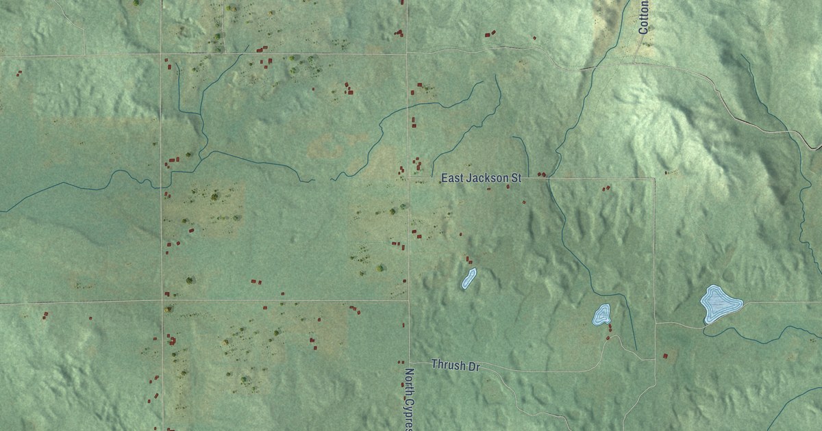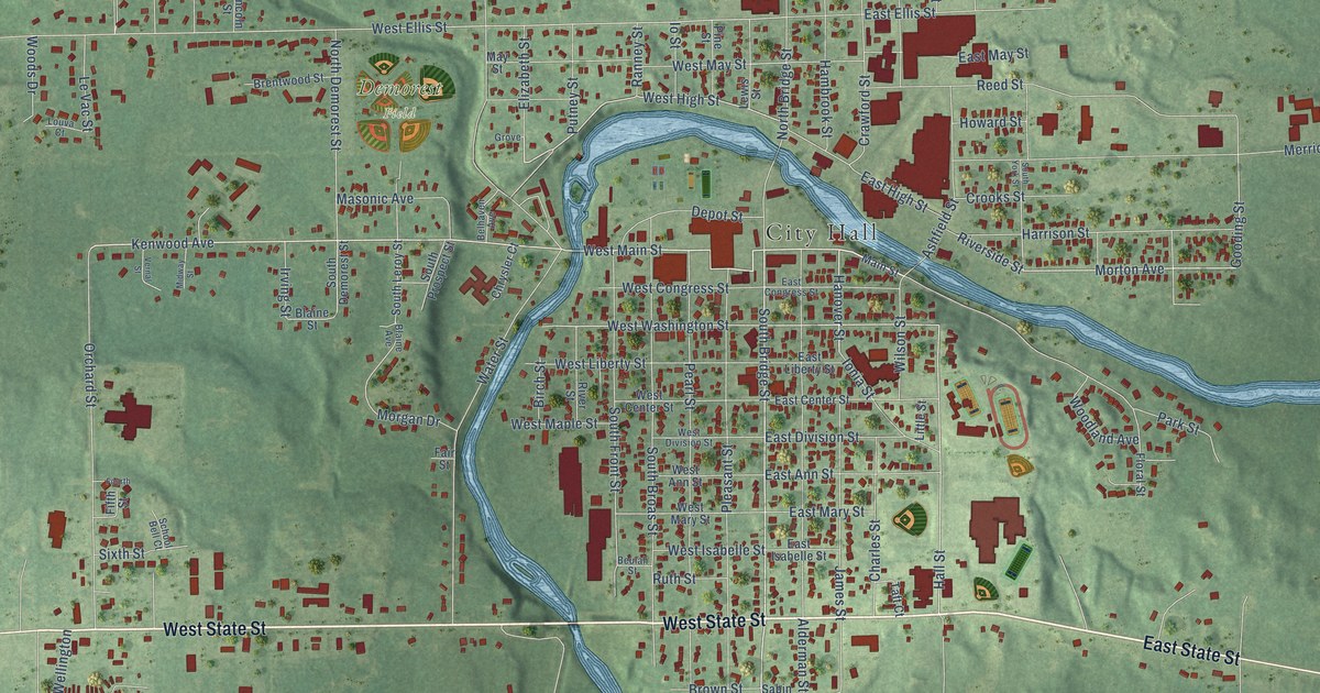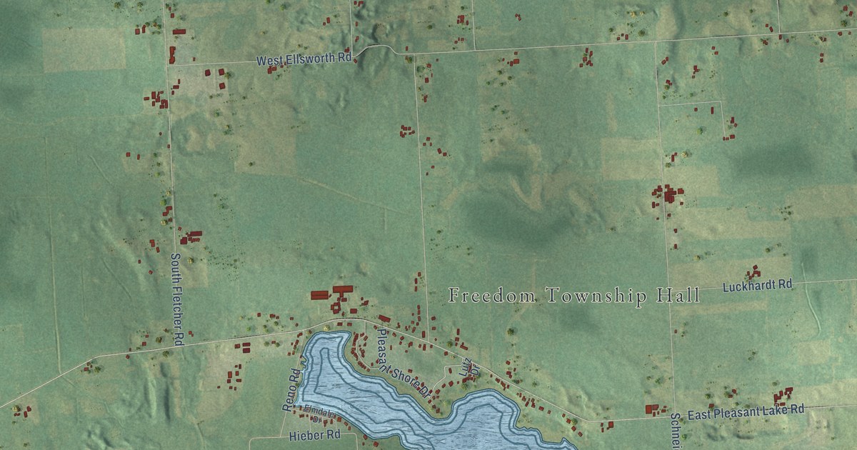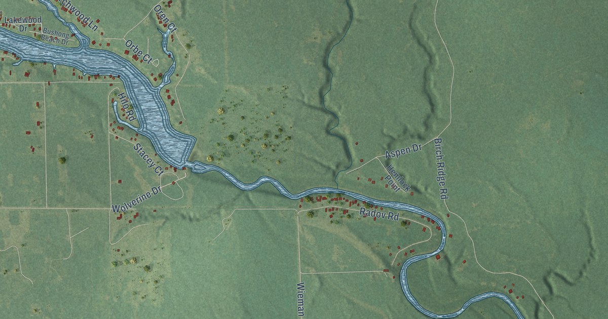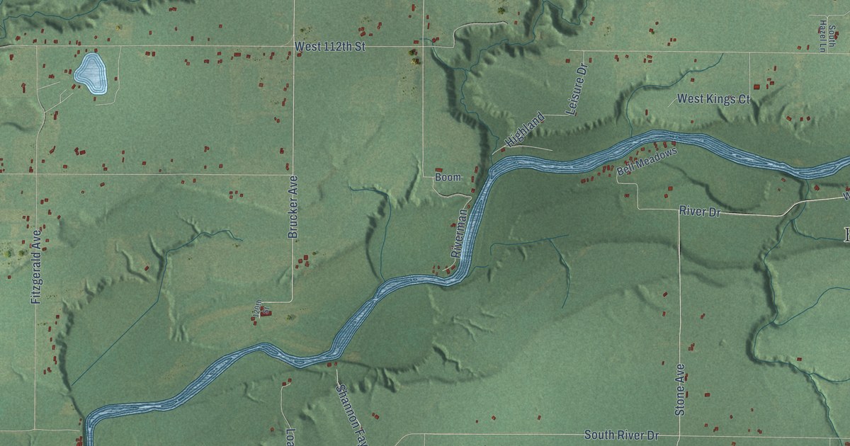
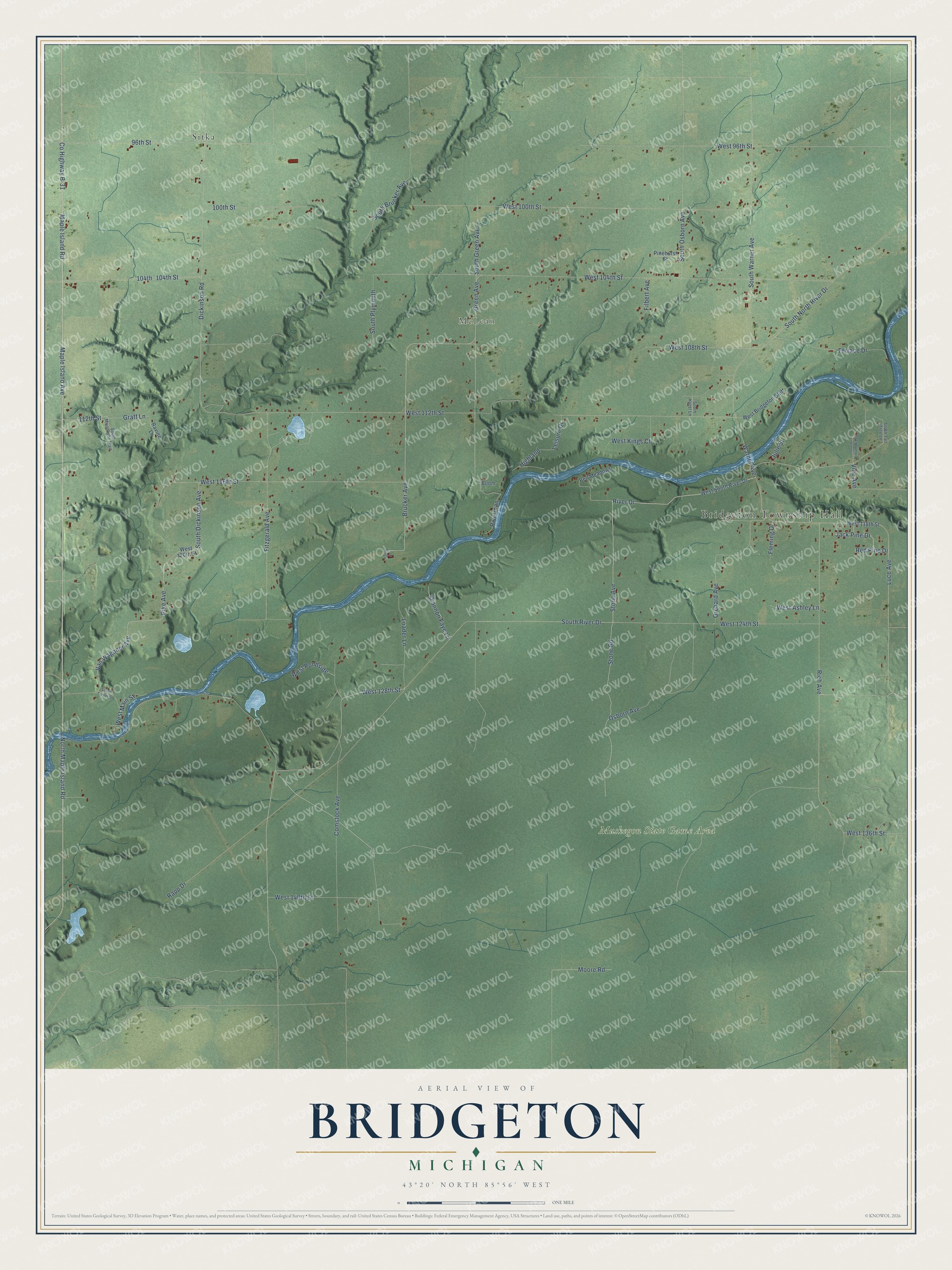
This beautifully detailed map of Bridgeton, Michigan was created in 2026 using aerial imagery combined with modern topographical, census, street and landmark data. It's a modern aerial view of Bridgeton in Newaygo County, Michigan, that combines modern data with a vintage aesthetic. The roads feature printed names, and if you look closely you can find your exact house accurately shown in its correct location.
Explore an aerial view of Bridgeton, Michigan
On this map you'll find Bridgeton Township Hall, McLean, Muskegon State Game Area, Sitka, Maple Island Road, Maple Island Avenue, Fitzgerald Avenue, West 108th Street, West 124th Street, Brucker Avenue, South North River Drive, Van Wagoner Avenue, and more. Each red shape is a building, so zoom in on the preview and look for yours.
The Census Bureau counted 2,224 people here in 2020. The map prints the town name in its title panel, with the coordinates below it.
Take a closer look at the Bridgeton map
Names on this map
These names are printed on this map.
Places: Bridgeton Township Hall, McLean, Muskegon State Game Area and Sitka.
Streets and roads: Maple Island Road, Maple Island Avenue, Fitzgerald Avenue, West 108th Street, West 124th Street, Brucker Avenue, South North River Drive, Van Wagoner Avenue, Pike Avenue, River Drive, North Maple Island Road, Green Avenue.
More street names, A to Z
96th Street, 100th Street, 104th, 104th Street, 112th Street, 120th Street, Bell Meadows, Boom, Comstock Avenue, County Highway B-31, Dickinson Road, Filbert Avenue, Fleming Drive, Graff Lane, Highland, Jack Pine Drive, Julie Street, Leisure Drive, Loader Lane, Luce Avenue, Moore Road, Orchard Avenue, Osborn Avenue, Pinehurst Street, Rapp Drive, Ravine Lane, Red Pine Drive, Rich Avenue, Riverman, Shannon Faye Lane, South Brucker Avenue, South Dickinson Avenue, South Green Avenue, South Hazel Lane, South Moonlight Trail, South Osborn Avenue, South Plymouth, South River Drive, South Tall Tree Lane, South Trillium Ridge, South Turner Street, South Warner Avenue, Stone Avenue, Stone Road, Terrace Drive, Vine Avenue, Warner Avenue, West 96th Street, West 100th Street, West 104th Street, West 112th Street, West 116th Street, West 118th Street, West 120th Street, West 128th Street, West 136th Street, West 140th Street, West Ashley Lane, West Bridgeton Bluff, West Kings Court, West Main Street, West Pondside, West South River Drive.
Created by KNOWOL in 2026. The buildings are small red shapes, the roads carry their printed names, and shaded relief shows the shape of the land. The title panel reads "AERIAL VIEW OF BRIDGETON, MICHIGAN" with 43°20' NORTH 85°56' WEST.
It looks right in a kitchen, an office or a den, and it's a gift for anyone who grew up in Bridgeton or moved away. Open the preview and find your street. See sizes and frames for the Bridgeton map.