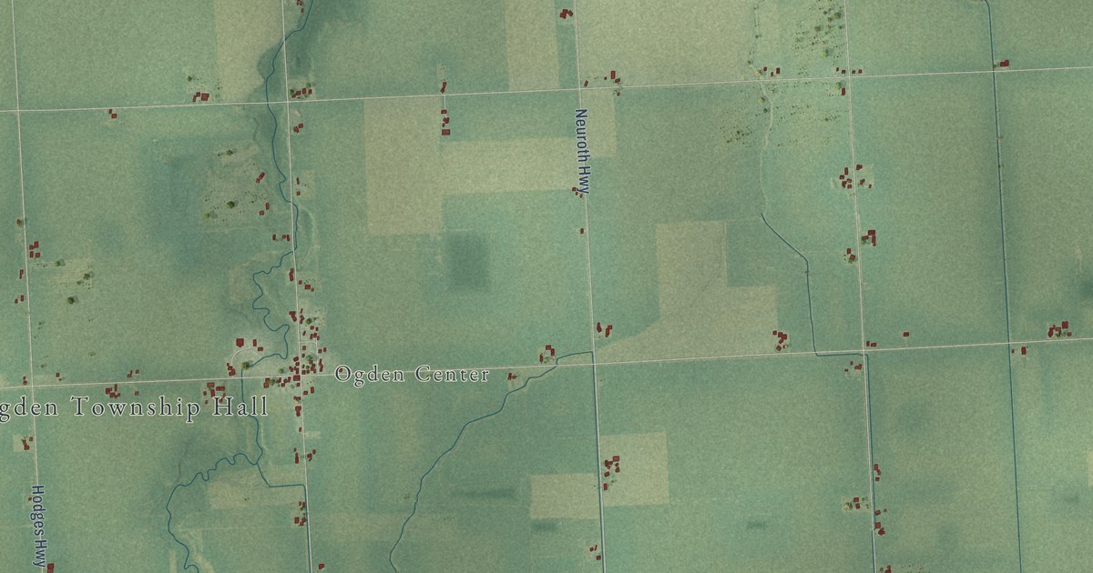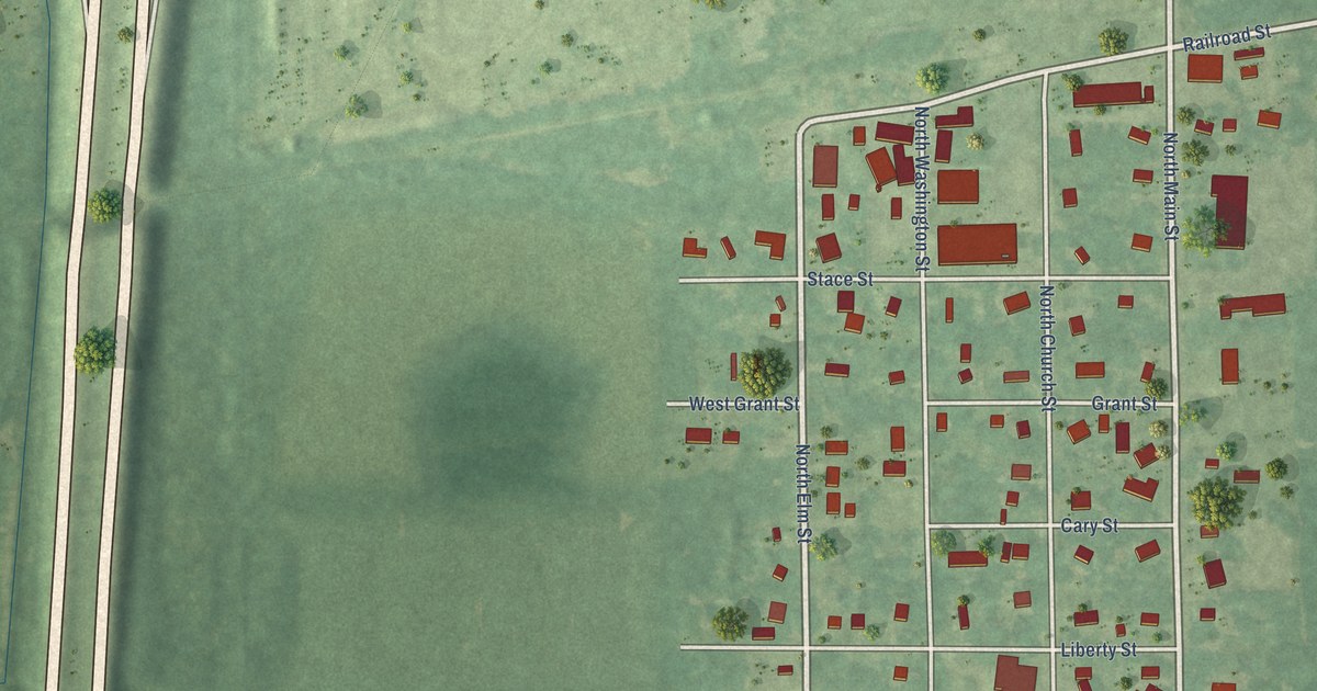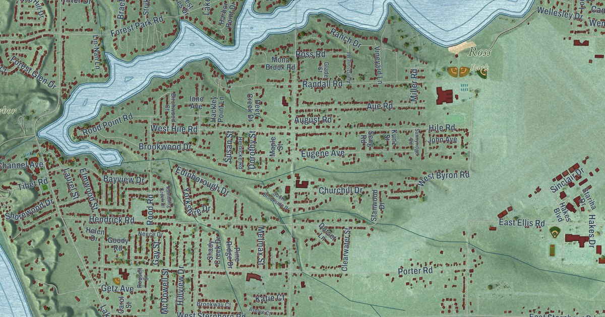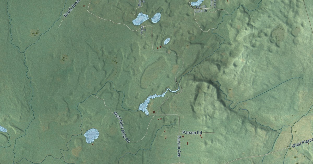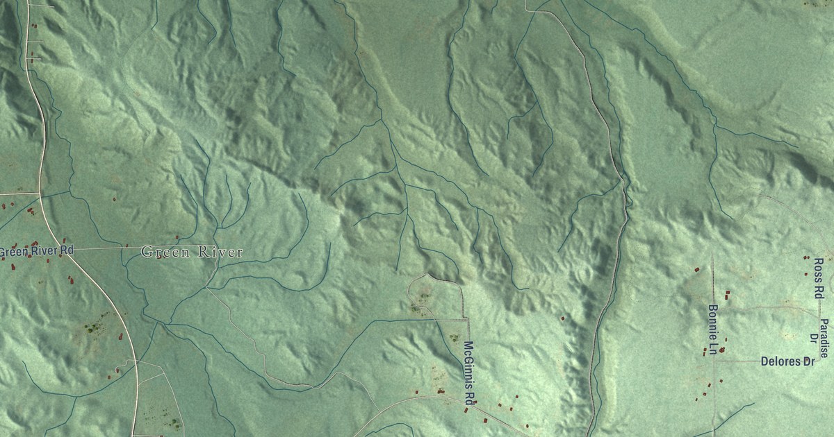
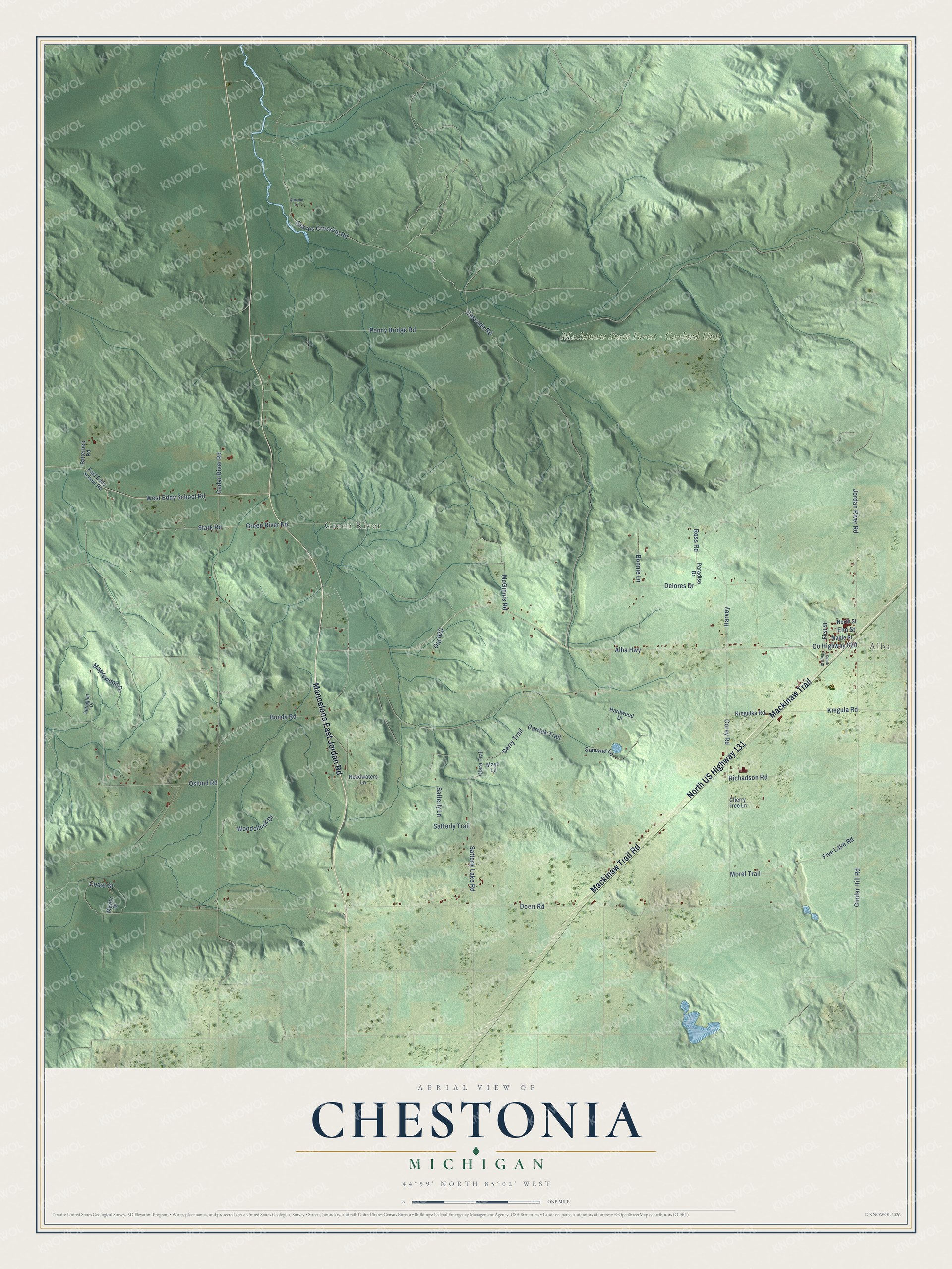
This beautifully detailed map of Chestonia, Michigan was created in 2026 using aerial imagery combined with modern topographical, census, street and landmark data. It's a modern aerial view of Chestonia in Antrim County, Michigan, that combines modern data with a vintage aesthetic. The roads feature printed names, and if you look closely you can find your exact house accurately shown in its correct location.
Explore an aerial view of Chestonia, Michigan
On this map you'll find Alba, Green River, Mackinaw State Forest – Gaylord Unit, Mancelona East Jordan Road, North US Highway 131, Mackinaw Trail, Mackinaw Trail Road, Co Highway 620, West Eddy School Road, Satterly Lake Road, Maplewood Drive, Doerr Road, and more. Each red shape is a building, so zoom in on the preview and look for yours.
Here is a piece of Chestonia history, in the words of the record. The Traverse Region puts it this way: "Chestonia was organized by the board of supervisors at the October session in 1874, and embraced the territory of Townships 30 north, of Ranges 5 and 6 west."
The Census Bureau counted 512 people here in 2020.
Take a closer look at the Chestonia map
Names on this map
These names are printed on this map.
Places: Alba, Green River and Mackinaw State Forest - Gaylord Unit.
Streets and roads: Mancelona East Jordan Road, North US Highway 131, Mackinaw Trail, Mackinaw Trail Road, County Highway 620, West Eddy School Road, Satterly Lake Road, Maplewood Drive, Doerr Road, Penny Bridge Road, Alba Highway, Cedar River Road.
More street names, A to Z
Autumn Lane, Batterbee Road, Bonnie Lane, Bundy Road, Carrick Trail, Cascade Road, Cedar Street, Cherry Tree Lane, Cinder Hill Road, Clare Trail, Corey Road, Delores Drive, Derry Trail, East Eddy School Road, Elm Street, First Street, Five Lake Road, Graves Crossing Road, Green River Road, Hardwood Drive, Harvey, Headwaters Lane, Jordan River Road, Kregula Road, Kregulka Road, Maple Street, Mayo Lane, McGinnis Road, Morel Trail, Mystic Drive, North Street, Old 620, Oslund Road, Paradise Drive, Richadson Road, Ross Road, Satterly Lane, Satterly Trail, South First Street, Springhill Drive, Stark Road, Summer Lane, Woodchuck Drive.
Created by KNOWOL in 2026. The buildings are small red shapes, the roads carry their printed names, and shaded relief shows the shape of the land. The title panel reads "AERIAL VIEW OF CHESTONIA, MICHIGAN" with 44°59' NORTH 85°02' WEST.
It suits a den, a classroom or a front hall, and it makes a gift for anyone with Chestonia roots. Open the preview and find the block you know. See sizes and frames for the Chestonia map.