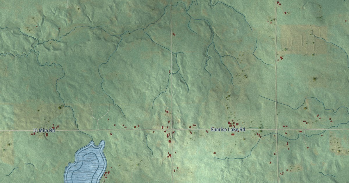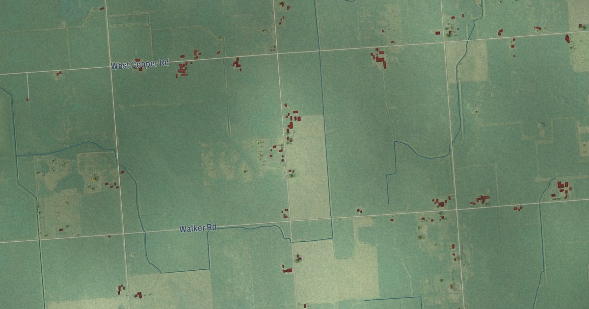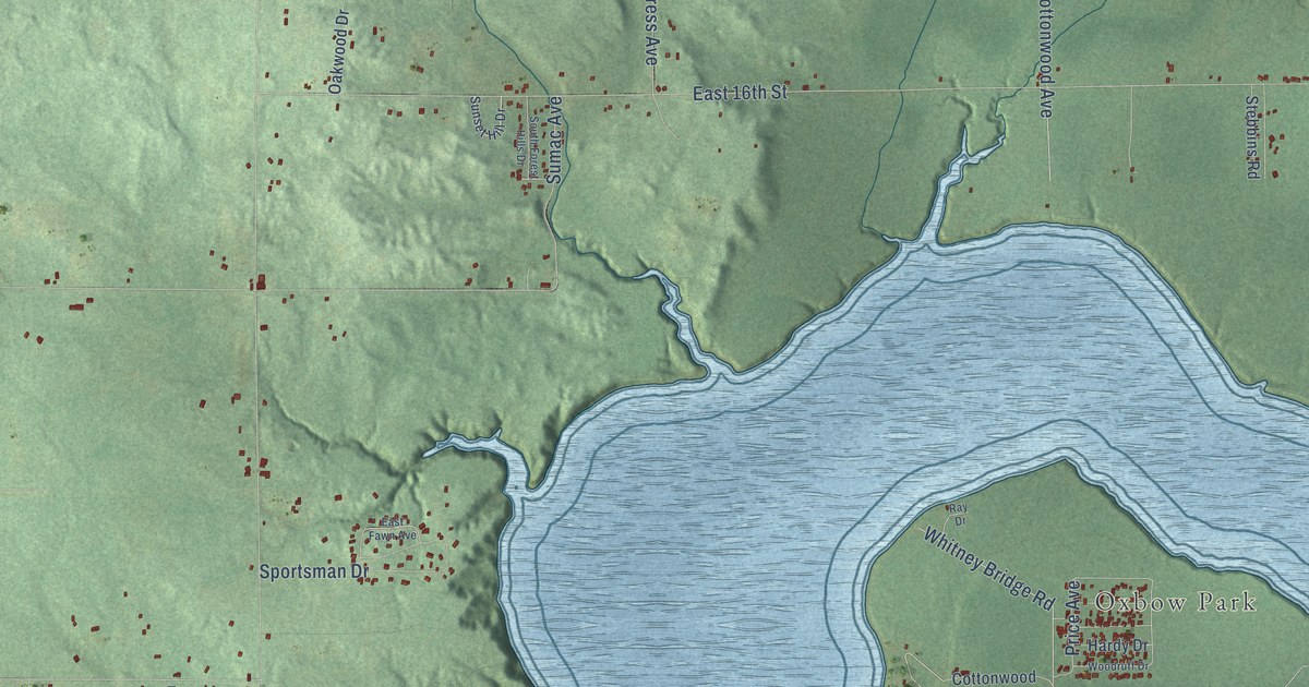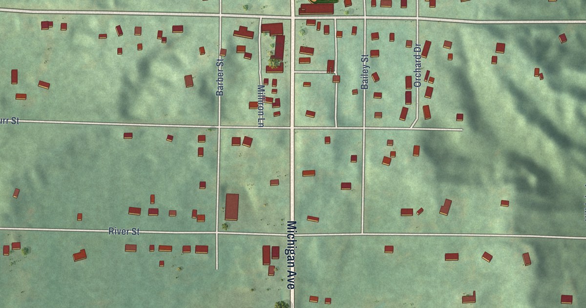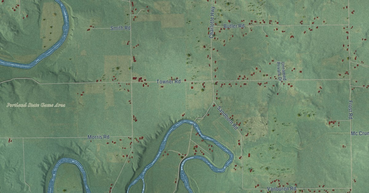
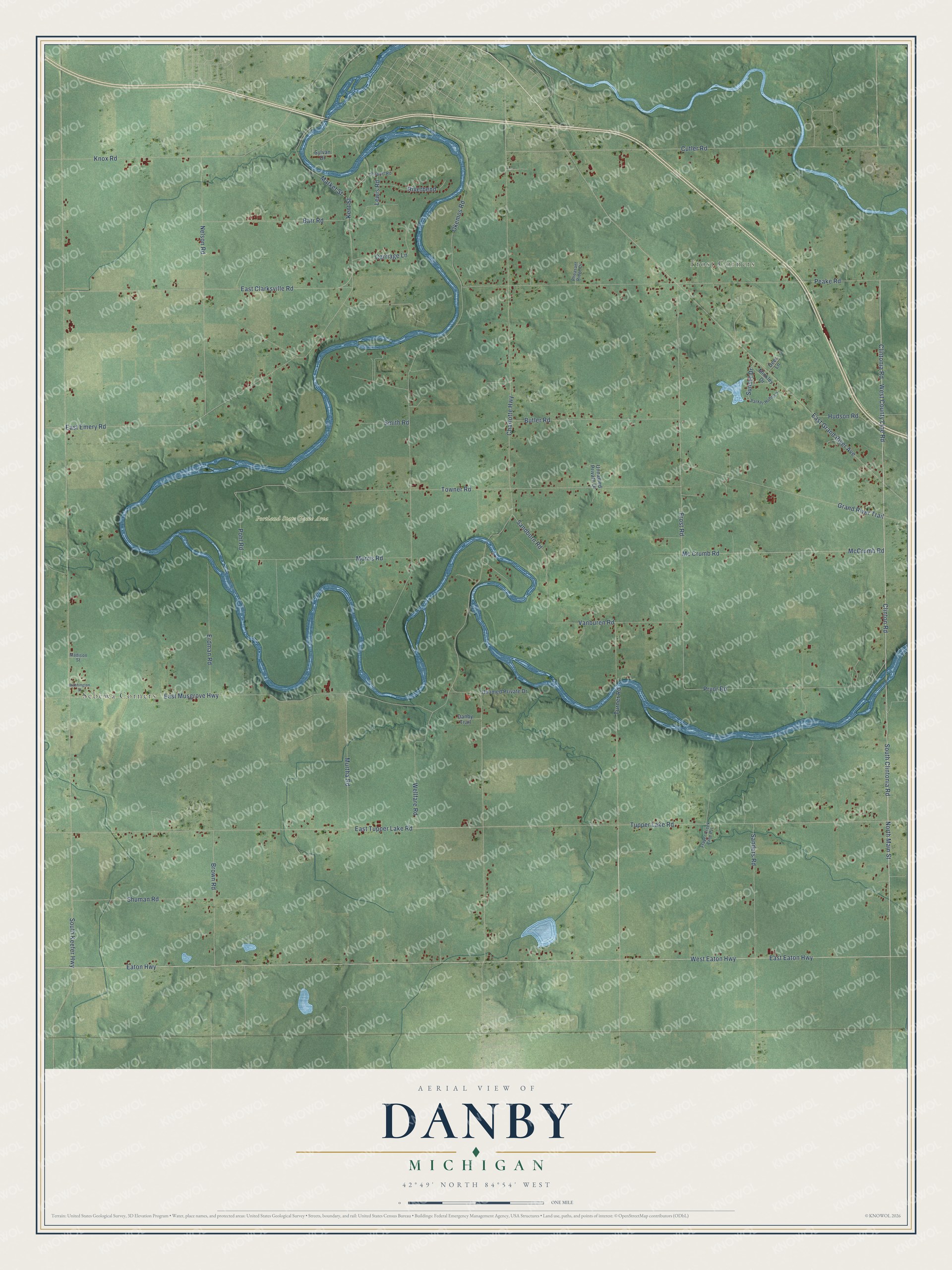
This beautifully detailed map of Danby, Michigan was created in 2026 using aerial imagery combined with modern topographical, census, street and landmark data. It's a modern aerial view of Danby in Ionia County, Michigan, that combines modern data with a vintage aesthetic. The roads feature printed names, and if you look closely you can find your exact house accurately shown in its correct location.
Explore an aerial view of Danby, Michigan
On this map you'll find Sebewa Corners, Frost Corners, Portland State Game Area, Clinton Road, Clintonia Road, North Main Street, East Clarksville Road, Turner Road, East Eaton Highway, West Eaton Highway, Tupper Lake Road, East Grand River Avenue, and more. Each red shape is a building, so zoom in on the preview and look for yours.
Here is a piece of Danby history, in the words of the record. The History of Ionia and Montcalm Counties puts it this way: "On the west line of Danby, in section 19, Pierce G. Cook, as agent for Elizabeth Cornell, of New Jersey, laid out April 11, 1867, a village which he named Cornell, containing ninety-six lots measuring each five rods by eight rods."
The Census Bureau counted 2,953 people here in 2020.
Take a closer look at the Danby map
Names on this map
These names are printed on this map.
Places: Sebewa Corners, Frost Corners and Portland State Game Area.
Streets and roads: Clinton Road, Clintonia Road, North Main Street, East Clarksville Road, Turner Road, East Eaton Highway, West Eaton Highway, Tupper Lake Road, East Grand River Avenue, West County Line Road, South Clintonia Road, Pohl Road.
More street names, A to Z
Airport Road, Barr Road, Brown Road, Butler Road, Carriage Lane, Charlotte Highway, Cutler Road, Danby Trail, Deer Lane, East Emery Road, East Musgrove Highway, East Tupper Lake Road, Eaton Highway, Erdman Road, Frayer Creek Lane Pvt, Frost Road, Grand River Trail, Hudson Road, Kent Street, Knox Road, Lewis Road, Madison Street, Market Street, Mc Crumb Road, McCrumb Road, Minkley Drive, Morris Road, Murtha Road, Nelson Road, Okemos Road, Parker-Huhn Lane, Peake Road, Pheasant Ridge Drive, Pryor Road, Riverbend, Sandborn Road, Sanders Road, Shuman Road, Smith Road, South Keefer Highway, Sunset Drive, Sylvan Drive, Towner Road, Unamed Private Drive, Unnamed Private Drive, Vanburen Road, Washington Street, Wellfare Road.
Created by KNOWOL in 2026. The buildings are small red shapes, the roads carry their printed names, and shaded relief shows the shape of the land. The title panel reads "AERIAL VIEW OF DANBY, MICHIGAN" with 42°49' NORTH 84°54' WEST.
It suits a den, a classroom or a front hall, and it makes a gift for anyone with Danby roots. Open the preview and find the block you know. See sizes and frames for the Danby map.