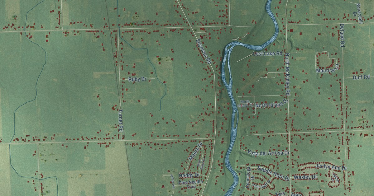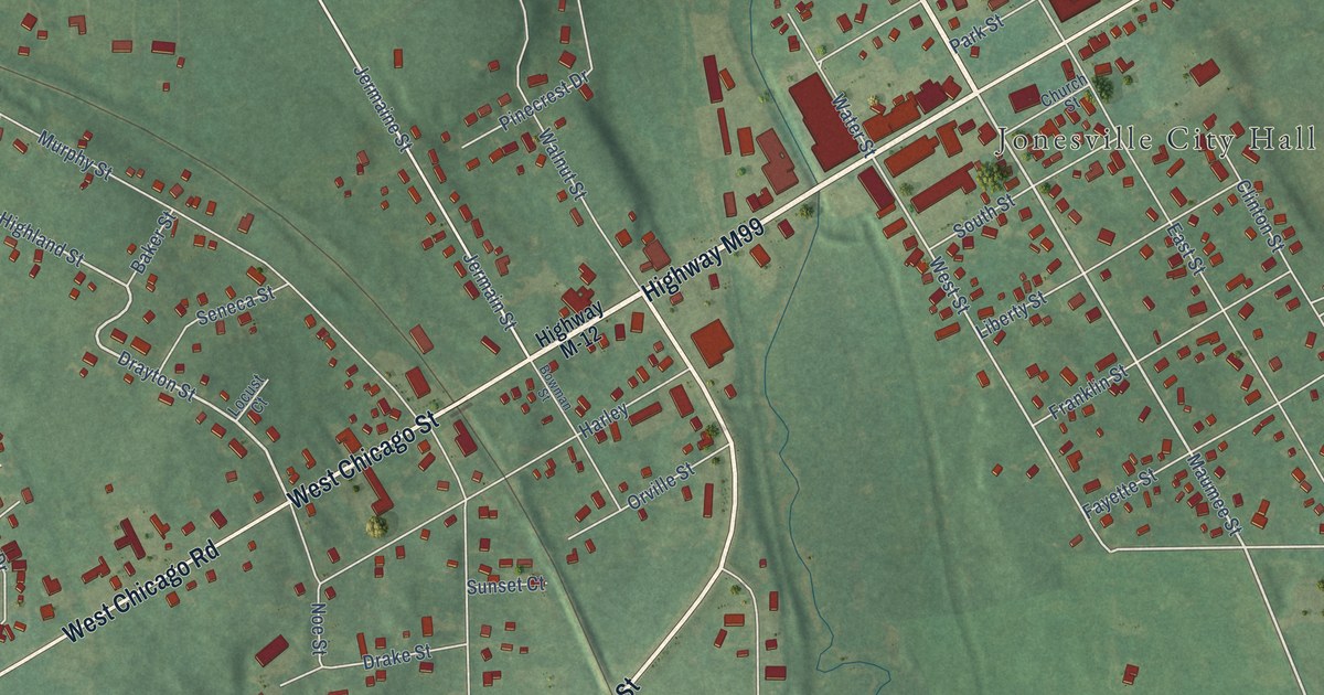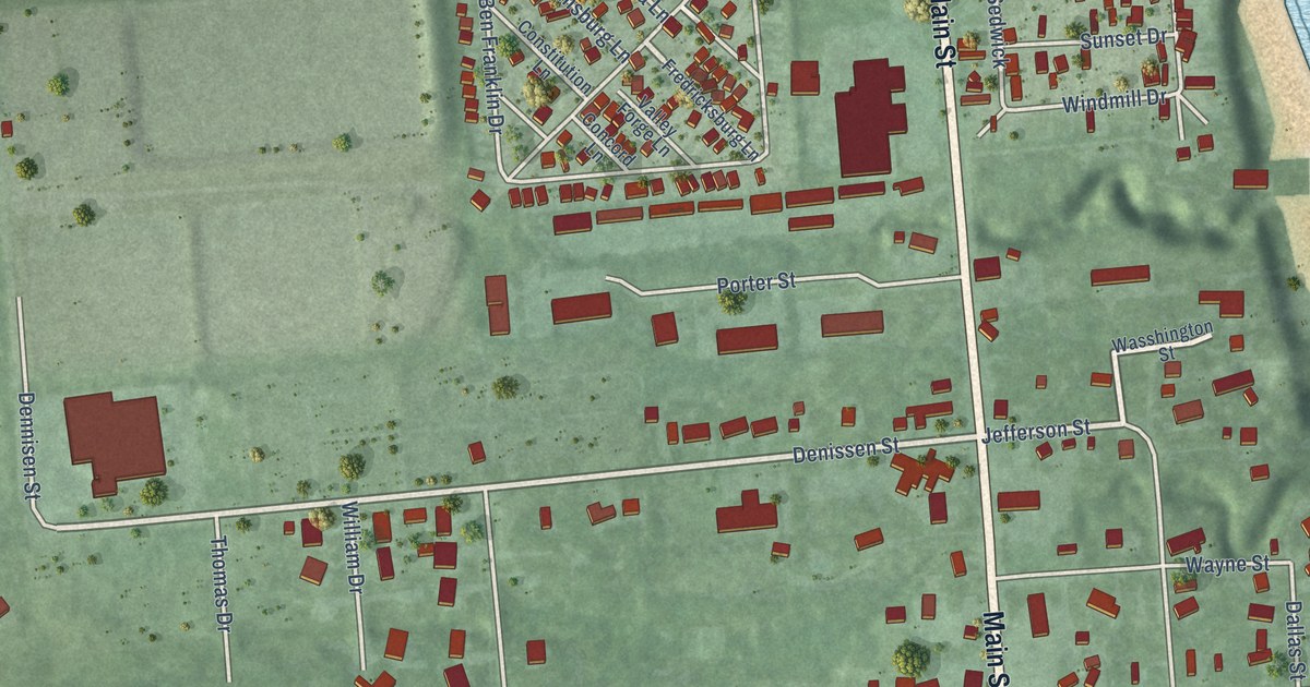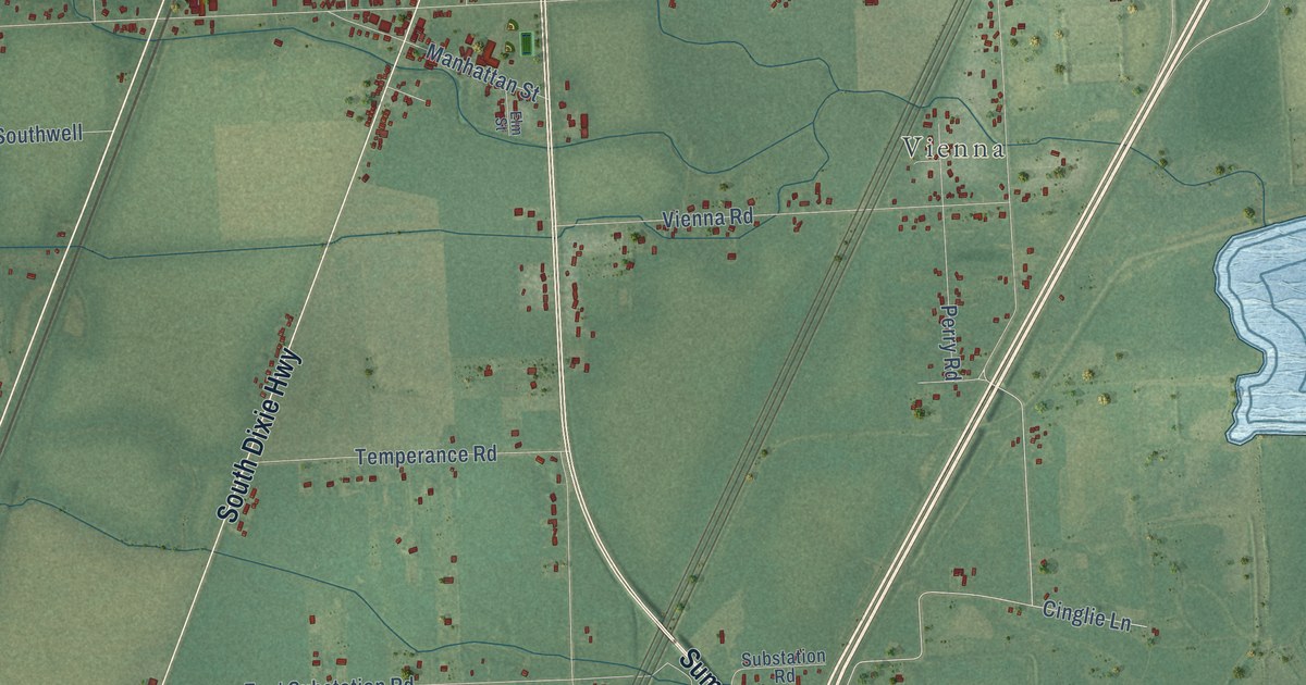
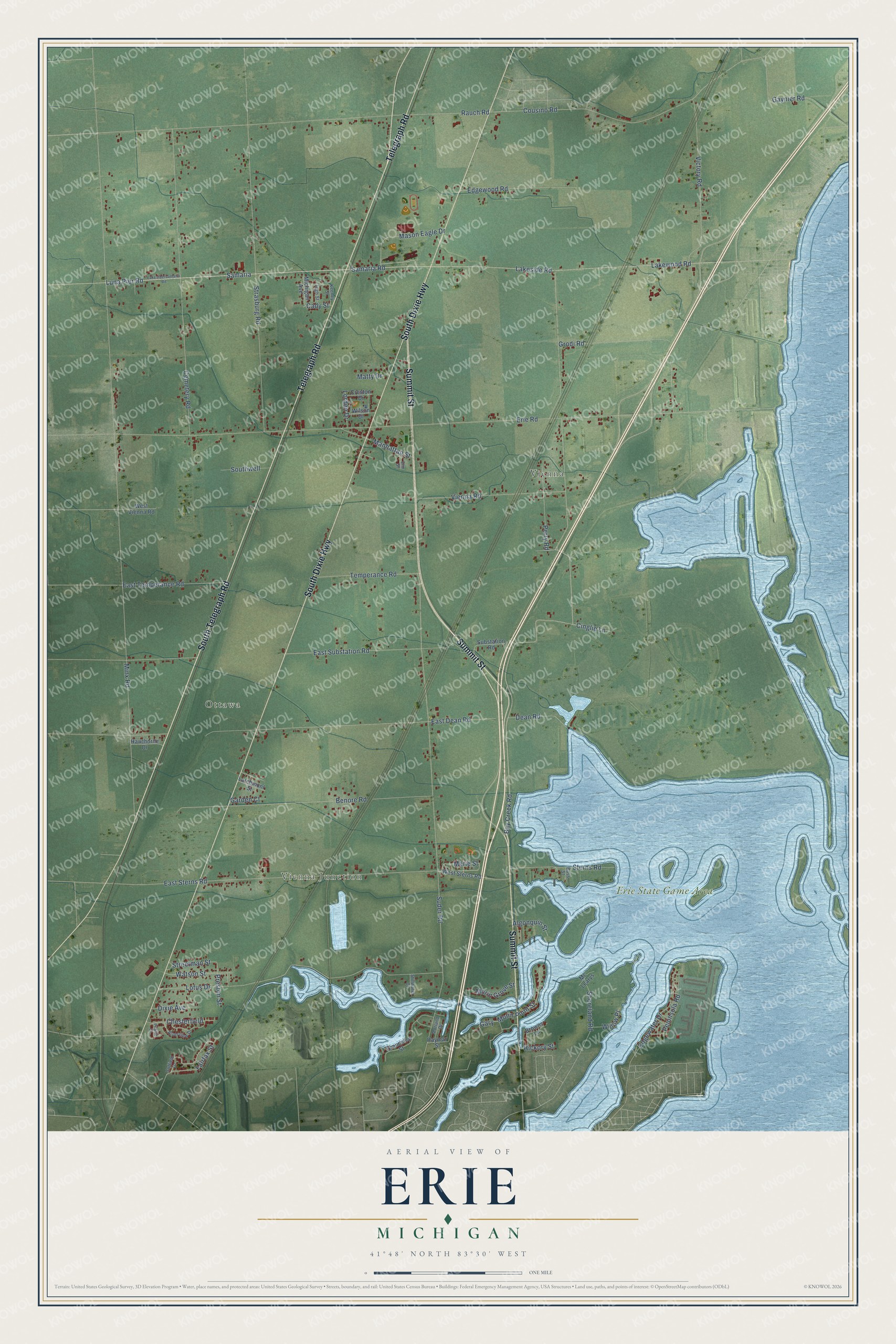
This beautifully detailed map of Erie, Michigan was created in 2026 using aerial imagery combined with modern topographical, census, street and landmark data. It's a modern aerial view of Erie in Monroe County, Michigan, that combines modern data with a vintage aesthetic. The roads feature printed names, and if you look closely you can find your exact house accurately shown in its correct location.
Explore an aerial view of Erie, Michigan
On this map you'll find Vienna Junction, Ottawa, Vienna, Erie State Game Area, Summit Street, South Telegraph Road, Telegraph Road, South Dixie Highway, Lakeside Road, Samaria Road, Samaria, Bay Creek Road, and more. Each red shape is a building, so zoom in on the preview and look for yours.
Erie has a story worth telling. The History of Monroe County puts it this way: "The first priest who officiated at Erie was Rev. Father Gabriel Richard, from St. Anne's church of Detroit and St. Mary's of Monroe; from 1825 until 1835 other priests from Monroe supplied the place of regular pastors."
The Census Bureau counted 4,299 people here in 2020.
Take a closer look at the Erie map
Names on this map
These names are printed on this map.
Places: Vienna Junction, Ottawa, Vienna and Erie State Game Area.
Streets and roads: Summit Street, South Telegraph Road, Telegraph Road, South Dixie Highway, Lakeside Road, Samaria Road, Samaria, Bay Creek Road, East Sterns Road, Merie Street, Gaynier Road, Minx Road.
More street names, A to Z
Algonquin Street, Bass Street, Benore Road, Browns Lane, Cady Street, Cemetery Road, Chesterfield, Cinglie Lane, Cousino Road, Creston Drive, Dean Road, Dixie Avenue, East Dean Road, East Substation Road, East Temperance Road, Edgewater Drive, Edgewood Road, Elm Street, Erie Road, Fairfax Street, Garden Court, Gary, Grandview Street, Grodi Road, Hawthorne Drive, Hickory Street, High Street, Keeney Street, Lakewood Road, Larchmont Street, Lorden Drive, Lotus Drive, Luna Pier Road, Manhattan Street, Mason Eagle Drive, Matty Drive, Mc Learys, Michigan Avenue, Morin Grove Street, Morin Point Street, Morland Drive, Peninsula Road, Perry Road, Pilgrim Court, Preston Street, Rauch Road, Raymar Street, Riverview Drive, Shoreland Road, Southwell, Sterns Road, Stillwater Court, Strasburg Road, Streetman Street, Substation Road, Suder Road, Suffield Drive, Temperance Road, Victory Road, Vienna Road, Watson Street, West Sterns Road, West Vienna Road, Willow Place, Wilson Drive.
Created by KNOWOL in 2026. The buildings are small red shapes, the roads carry their printed names, and shaded relief shows the shape of the land. The title panel reads "AERIAL VIEW OF ERIE, MICHIGAN" with 41°48' NORTH 83°30' WEST.
It looks right in a kitchen, an office or a den, and it's a gift for anyone who grew up in Erie or moved away. Open the preview and find your street. See sizes and frames for the Erie map.