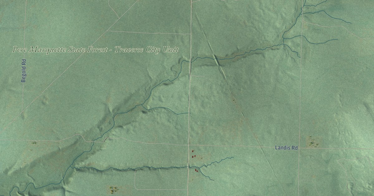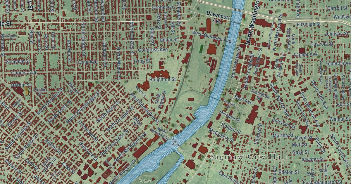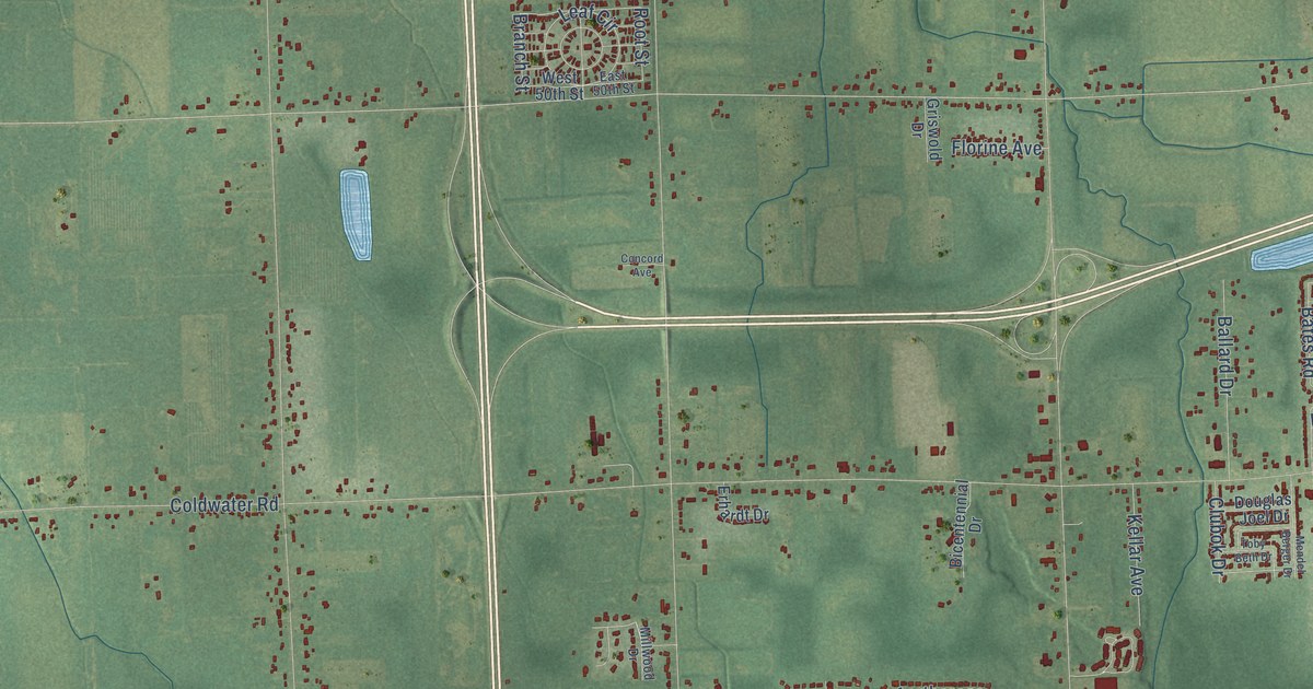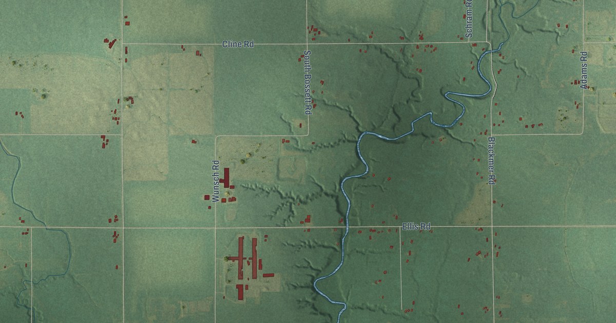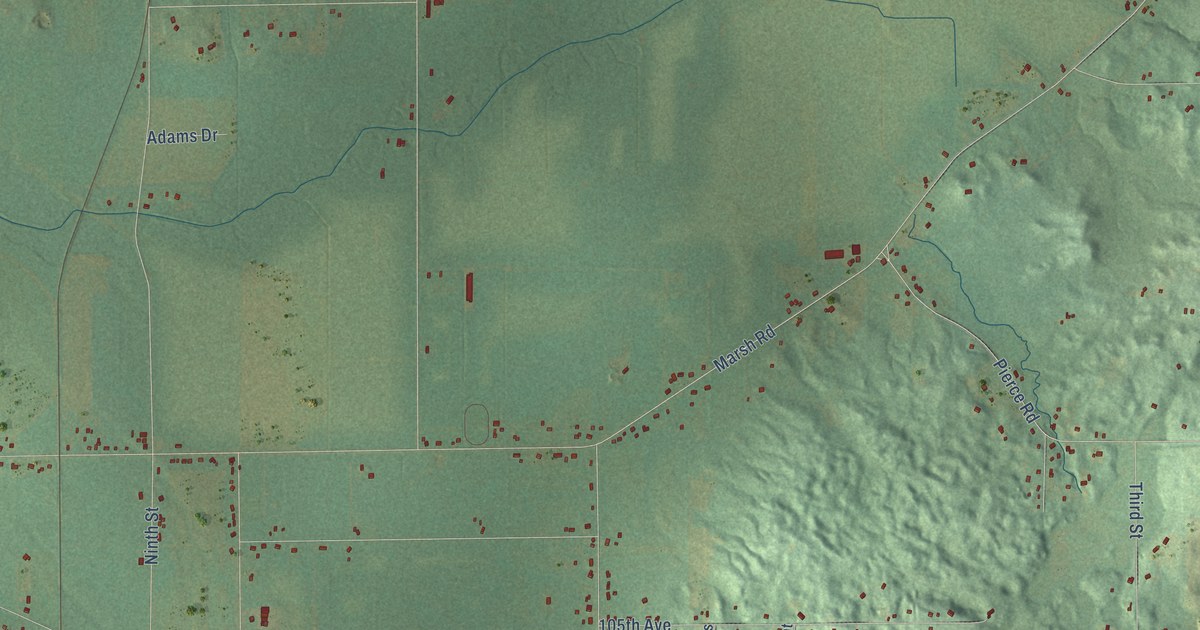
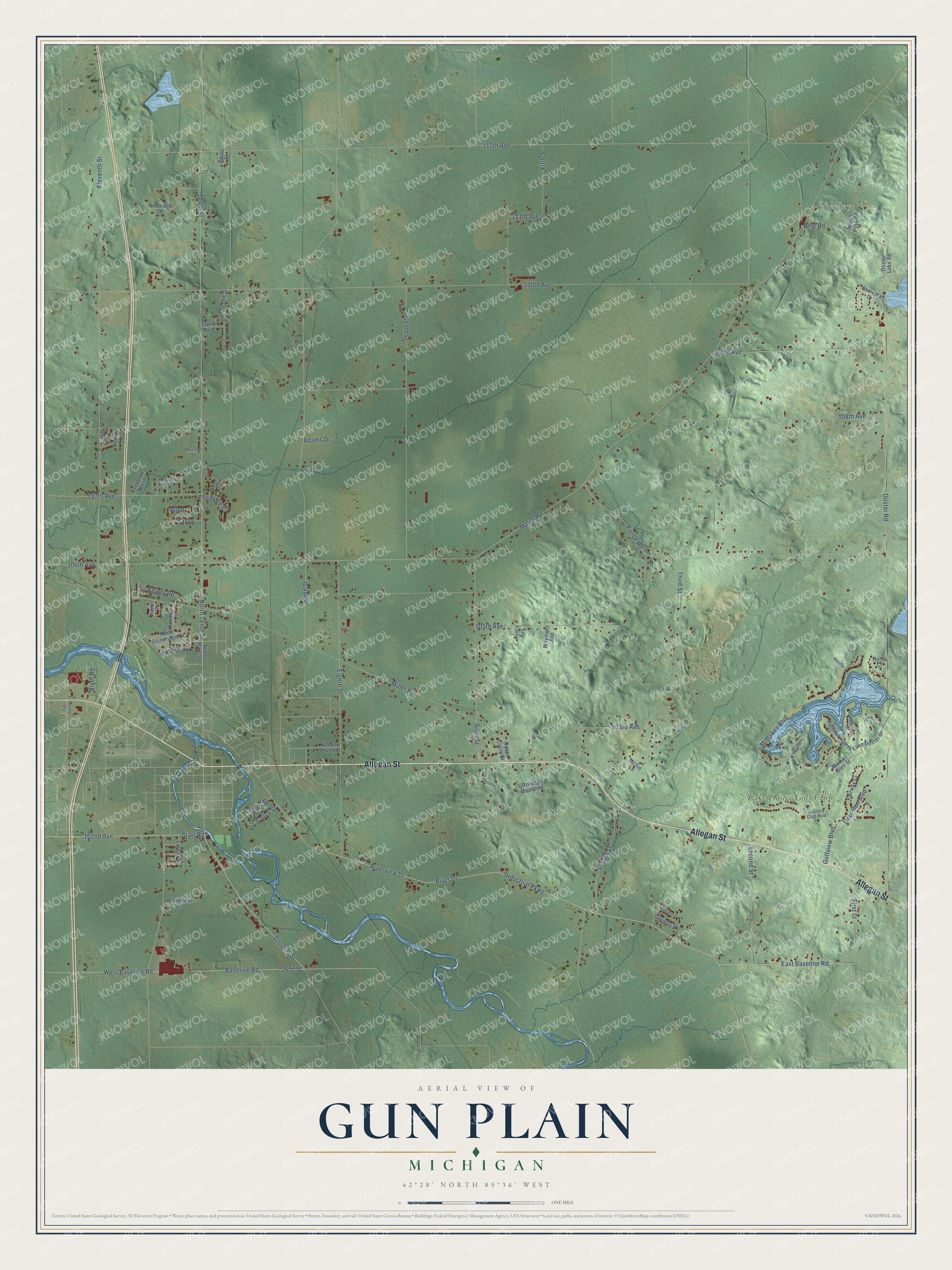
This beautifully detailed map of Gun Plain, Michigan was created in 2026 using aerial imagery combined with modern topographical, census, street and landmark data. It's a modern aerial view of Gun Plain in Allegan County, Michigan, that combines modern data with a vintage aesthetic. The roads feature printed names, and if you look closely you can find your exact house accurately shown in its correct location.
Explore an aerial view of Gun Plain, Michigan
On this map you'll find Neeley, Lake Doster Golf Club, Allegan Street, Tenth Street, Douglas Street, Doster Road, Starr Road, North Tenth Street, 102nd Avenue, Baseline Road, East Baseline Road, Industrial Parkway, and more. Each red shape is a building, so zoom in on the preview and look for yours.
Gun Plain has a story worth telling. The History of Allegan and Barry Counties puts it this way: "Deacon Curtis Brigham and wife, emigrated to Richland, Kalamazoo Co., in December, 1833, from whence he moved into Gun Plain township, where he was among the first settlers. He was a licensed preacher in the Baptist Church before leaving Massachusetts, and soon opened meetings in his new home."
The Census Bureau counted 6,148 people here in 2020.
Take a closer look at the Gun Plain map
Names on this map
These names are printed on this map.
Places: Neeley and Lake Doster Golf Club.
Streets and roads: Allegan Street, Tenth Street, Douglas Street, Doster Road, Starr Road, North Tenth Street, 102nd Avenue, Baseline Road, East Baseline Road, Industrial Parkway, River Drive, Riverview Drive.
More street names, A to Z
103rd Avenue, 105th Avenue, 106th Avenue, 107th Avenue, 108th Avenue, 109th Avenue, 110th Avenue, 111th Avenue, 112th Avenue, Adams Drive, Allen, Autumn Court, Ayers Avenue, Brittany Street, Carrie Avenue, Center Drive, Charles Street, Country Club Boulevard, Deer Run Boulevard, Dorothy Street, Doster Lake Road, Eighth Street, Eleventh Street, Fairway Court, Fifth Street, First Street, Fourth Street, Foxmoor Drive, Gainder Road, Golfview Boulevard, Heron Court, Hestia, Highland Court, Horseshoe Court, Hyder Circle Drive, James Street, Kenneth Street, Liberty Street, Markus Glen Street, Marshall Lane, Marsh Road, Midlakes Boulevard, Miller Road, Mollie Lane, Ninth Street, North Gun River Drive, North Main Street, North Pine Road, North Stoneridge Drive, Overlook Drive, Parkway, Paula Street, Pierce Road, Pineridge Drive, Pine Road, Richelieu Street, River Road, Rolling Meadows, Second Division, Second Street, Seventh Street, Shangri-la Circle, Sir Knight Road, Sixth Street, Southfork Drive, South Lake Doster Drive, South Stoneridge Drive, Spruceview Drive, Sycamore Bend, Taylor, Third Street, Topview Drive, Twelfth Street, West Baseline Road, Whyment Avenue, Woodview Lane.
Created by KNOWOL in 2026. The buildings are small red shapes, the roads carry their printed names, and shaded relief shows the shape of the land. The title panel reads "AERIAL VIEW OF GUN PLAIN, MICHIGAN" with 42°28' NORTH 85°36' WEST.
It looks right in a kitchen, an office or a den, and it's a gift for anyone who grew up in Gun Plain or moved away. Open the preview and find your street. See sizes and frames for the Gun Plain map.