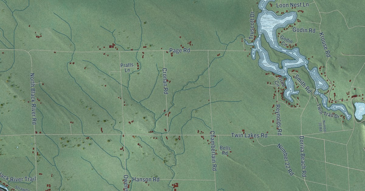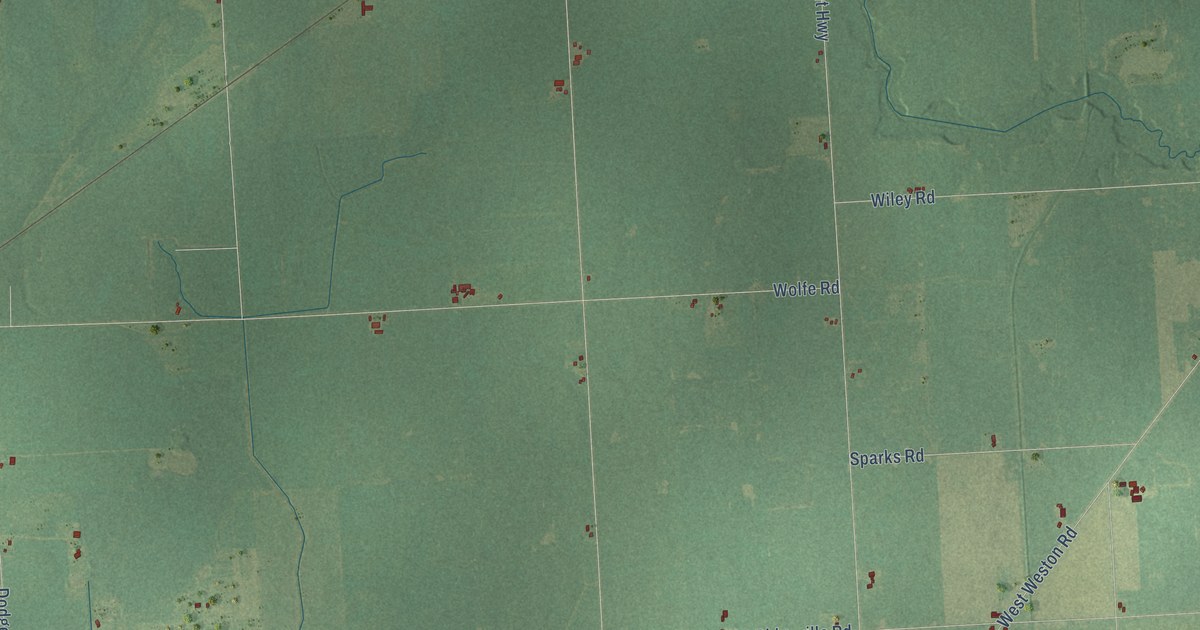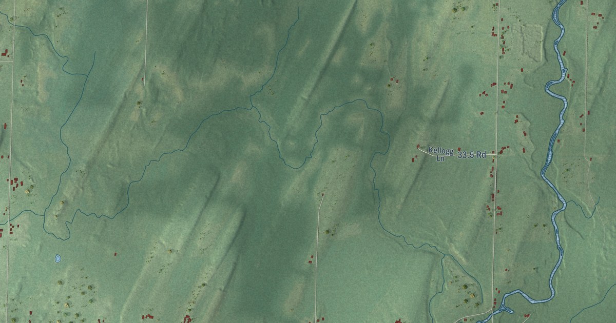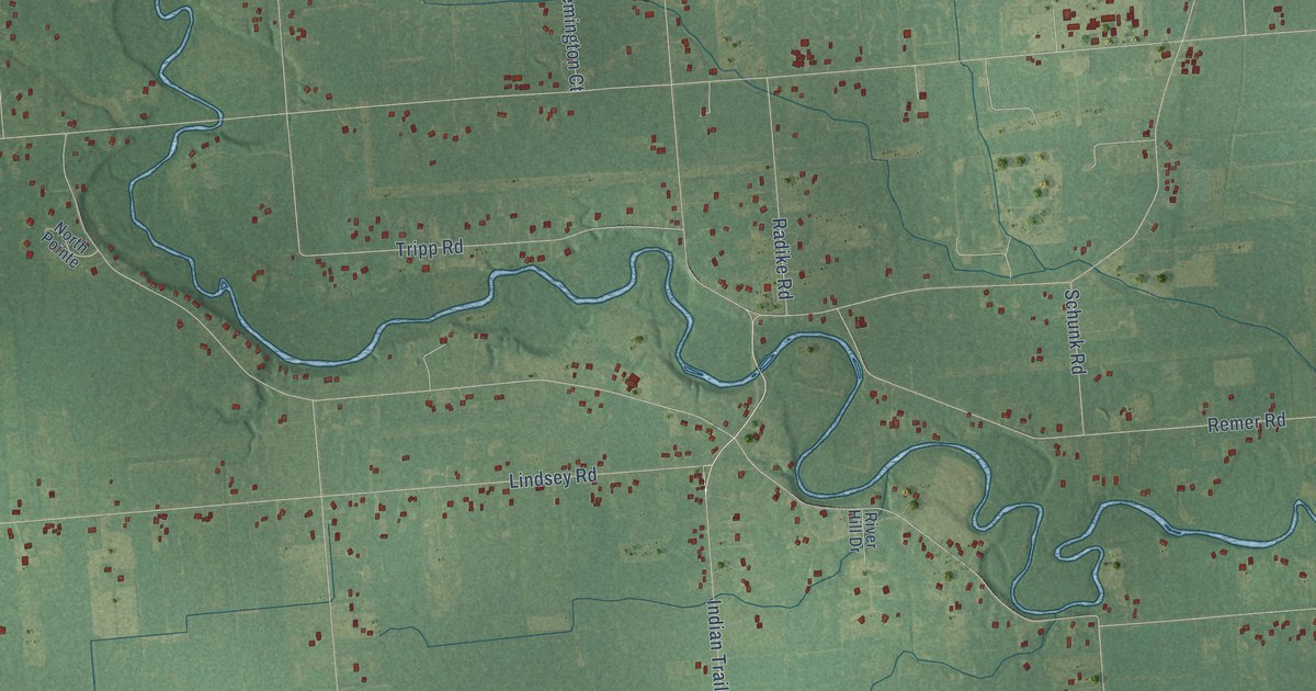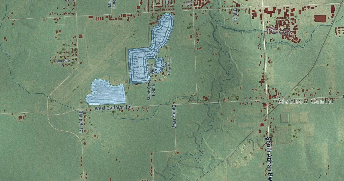
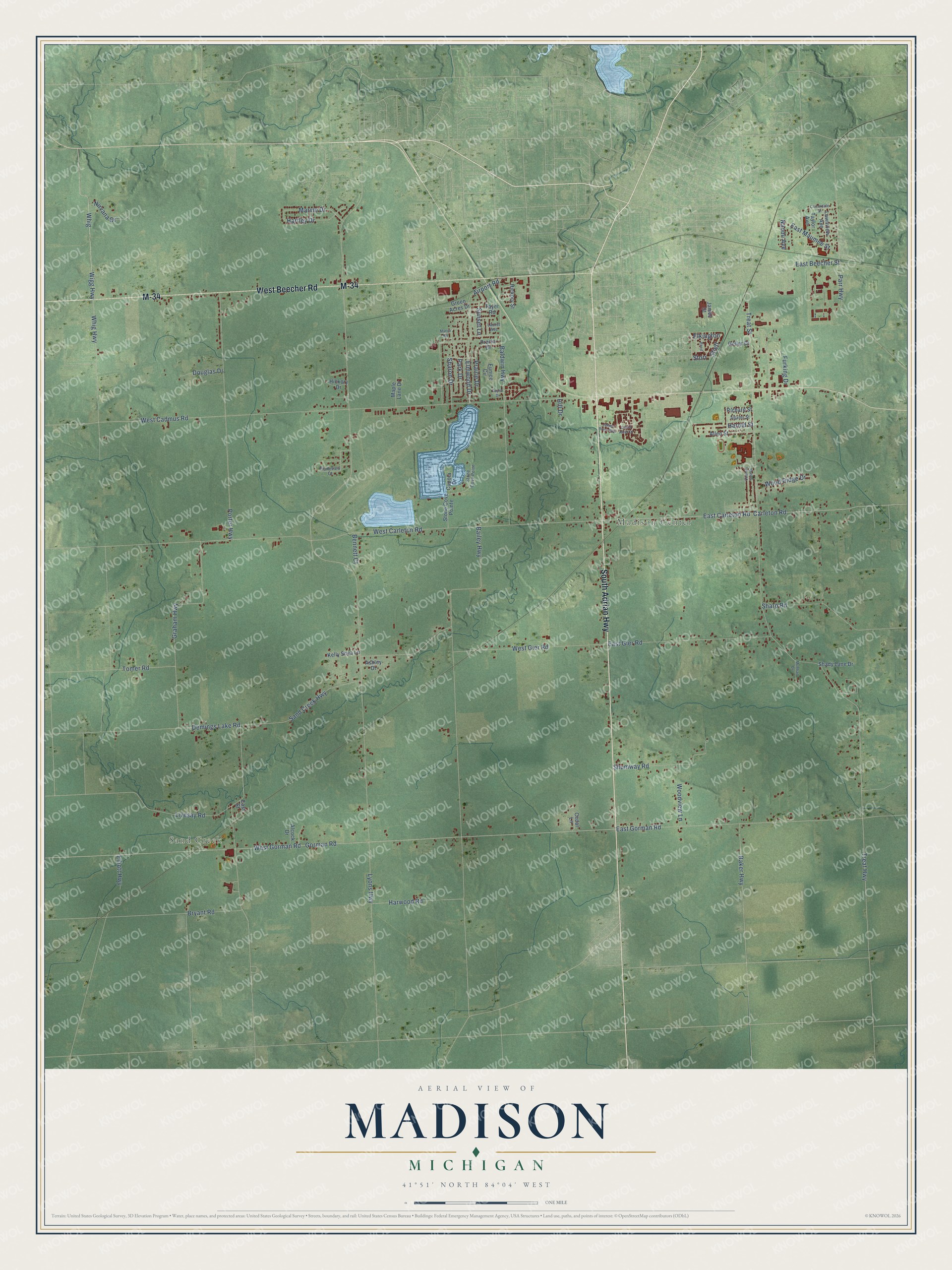
This beautifully detailed map of Madison, Michigan was created in 2026 using aerial imagery combined with modern topographical, census, street and landmark data. It's a modern aerial view of Madison in Lenawee County, Michigan, that combines modern data with a vintage aesthetic. The roads feature printed names, and if you look closely you can find your exact house accurately shown in its correct location.
Explore an aerial view of Madison, Michigan
On this map you'll find Sand Creek, Madison Center, South Adrian Highway, M-34, West Beecher Road, East Beecher Street, Hartley Drive, Whig, Sand Creek Highway, Treat Highway, West Carleton Road, Gorman Road, and more. Each red shape is a building, so zoom in on the preview and look for yours.
Here is a piece of Madison history, in the words of the record. The Memoirs of Lenawee County puts it this way: "The first school house was a log one, built in what was afterward called Madison Center, and Ebenezer S. Carpenter was the first to teach in it, though Miss Emeline Bixby was the pioneer teacher of the township, teaching at the private house of Cassander Peters."
The Census Bureau counted 8,439 people here in 2020.
Take a closer look at the Madison map
Names on this map
These names are printed on this map.
Places: Sand Creek and Madison Center.
Streets and roads: South Adrian Highway, M-34, West Beecher Road, East Beecher Street, Hartley Drive, Whig, Sand Creek Highway, Treat Highway, West Carleton Road, Gorman Road, West Gorman Road, West Cadmus Road.
More street names, A to Z
Adams Street, Airport Road, Alcock Drive, Allen Street, Ashley Drive, Bailey Highway, Baker Highway, Baldwin Highway, Bennett Court, Bryant Road, Carleton Road, Cedar Lane, Cloverdale Street, Country Side Drive, Cupola Drive, Demings Lake Road, Douglas Drive, East Carleton Road, East Gier Road, East Gorman Road, East Maumee Street, East Street, Elkington, Elliott Highway, Elmwood Drive, Eunice Circle, Furking Drive, Geller Drive, Graham Highway, Grand River Drive, Green Acres Drive, Harold Street, Harwood Road, Hickory Drive, Hickory Street, Hill Drive, James River Boulevard, James Street, Kelly Shea Lane, Laurel Avenue, Lawnview Avenue, Livesay Road, Lyons Highway, Maple Lane Drive, Martin Road, Marvin Drive, McPhail Drive, Naomi Avenue, Nirvana Drive, Park Drive, Parr Highway, Planeview Court, Porter Highway, Prairie Drive, Prarie Drive, Reed, Richard Street, Shady Lane Drive, Sharon Drive, Sharp Road, Shumway Road, Stieff, Stone Cove Point, Stone Cove Pointe, Storr, Sunset Lane, Tayer Road, Taylor Avenue, Taylor Drive, Tomer Road, Treat Street, West Gier Road, Whig Highway, Wigg Highway, Wood Ridge Drive, Woodview Lane.
Created by KNOWOL in 2026. The buildings are small red shapes, the roads carry their printed names, and shaded relief shows the shape of the land. The title panel reads "AERIAL VIEW OF MADISON, MICHIGAN" with 41°51' NORTH 84°04' WEST.
It suits a den, a classroom or a front hall, and it makes a gift for anyone with Madison roots. Open the preview and find the block you know. See sizes and frames for the Madison map.