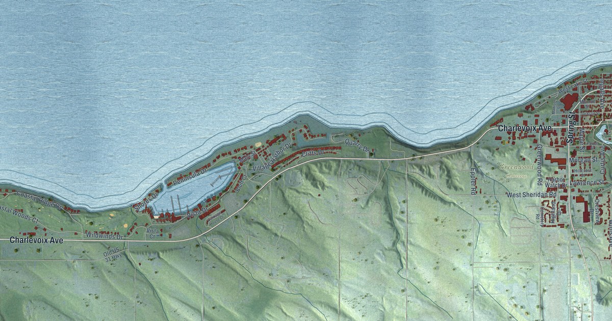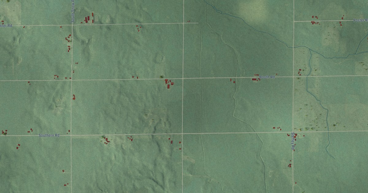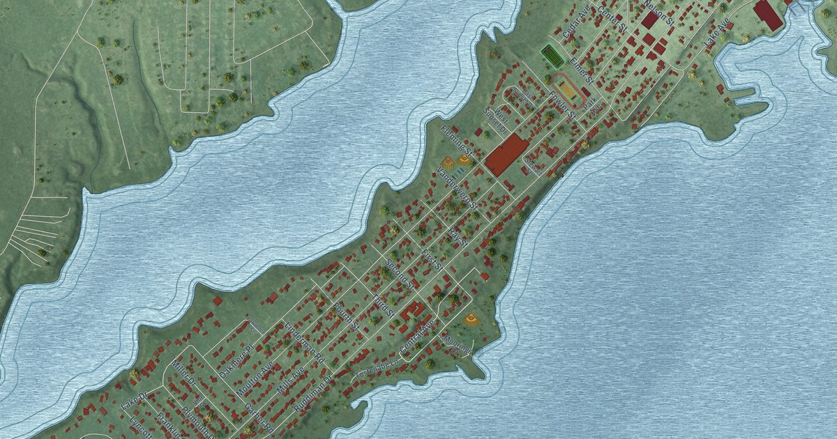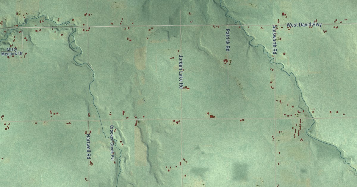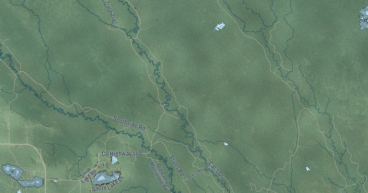
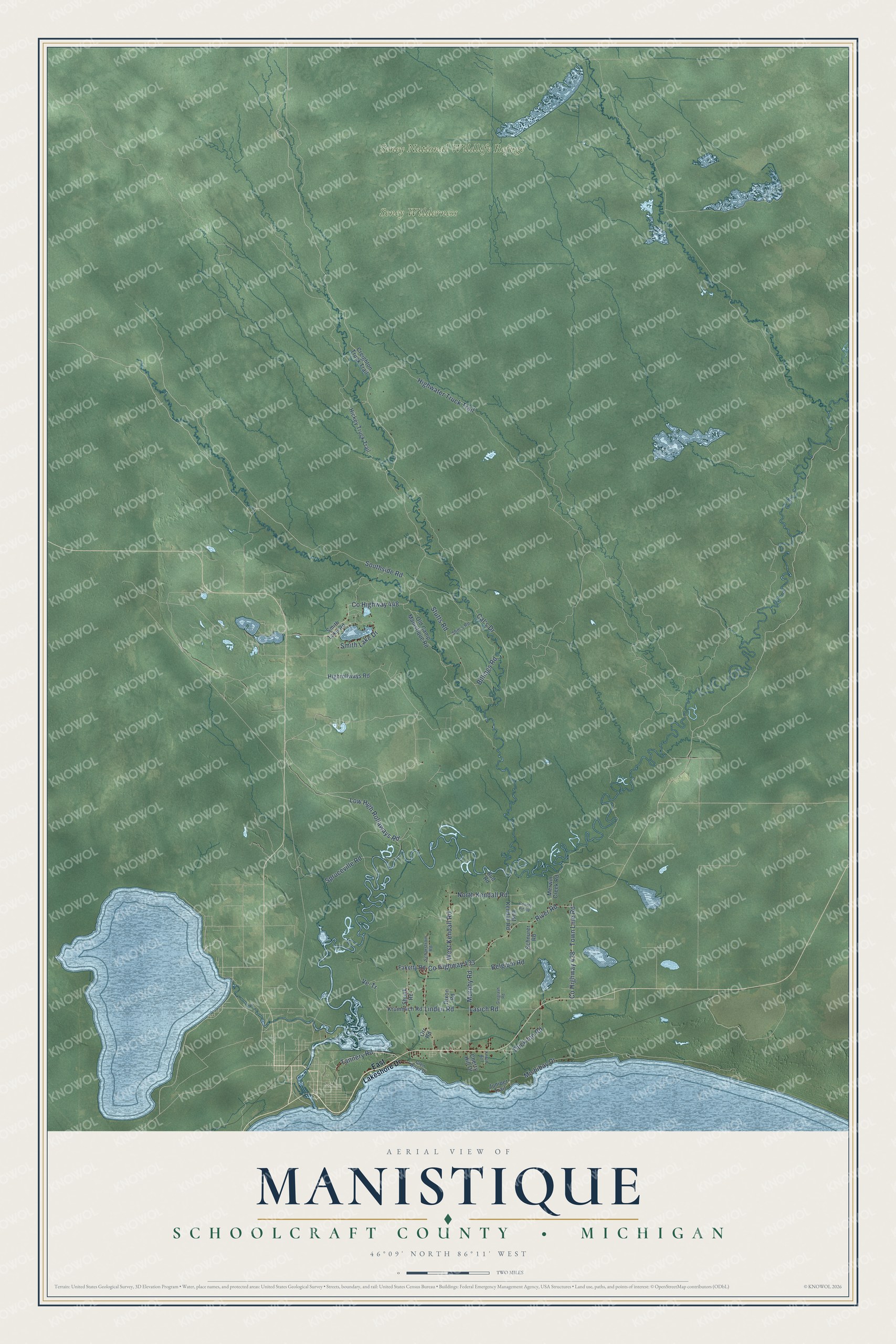
This beautifully detailed map of Manistique, Michigan was created in 2026 using aerial imagery combined with modern topographical, census, street and landmark data. It's a modern aerial view of Manistique in Schoolcraft County, Michigan, that combines modern data with a vintage aesthetic. The roads feature printed names, and if you look closely you can find your exact house accurately shown in its correct location.
Explore an aerial view of Manistique, Michigan
On this map you'll find Seney National Wildlife Refuge, Seney Wilderness, Tannery Road, Low High Rollaways Road, Linden Road, Highwater Truck Trail, Cal's Drive, Co Highway 433, River Road, Stutts Road, Ve-Tr, Smith Lake Drive, and more. Each red shape is a building, so zoom in on the preview and look for yours.
Here is a piece of Manistique history, in the words of the record. The Michigan History Center puts it this way: "These towers are the remains of kilns used by the White Marble Lime Company, founded by George Nicholson Jr. in 1889."
The Census Bureau counted 1,045 people here in 2020.
Take a closer look at the Manistique map
Names on this map
These names are printed on this map.
Places: Seney National Wildlife Refuge and Seney Wilderness.
Streets and roads: Tannery Road, Low High Rollaways Road, Linden Road, Highwater Truck Trail, Cal's Drive, County Highway 433, River Road, Stutts Road, Ve-Tr, Smith Lake Drive, County Highway 448, Southside Road.
More street names, A to Z
Belgium Road, Billings Road, Bud Road, Cherry Hill Drive, County Highway 438, County Pit Road, Creighton Truck Trail, Dixon Road, Duck Inn Road, East Kendall Road, East Lakeshore Drive, Faketty Road, Glen Wood Drive, Gregrash Road, Hickey Truck Trail, Highrollways Road, Juniper Trail, Knoph Road, Krummich Road, Lasich Road, Merwin Creek Road, Michibay Drive, Murphy Road, North Kendall Road, Old Camp Manistique Road, Orr Road, Scharstrom Road, Schnurer Road, Shunk Road, Slim's Road, Smith Lake Road, Spruceville Road, Town Line Road, West Kendall Road.
Created by KNOWOL in 2026. The buildings are small red shapes, the roads carry their printed names, and shaded relief shows the shape of the land. The title panel reads "AERIAL VIEW OF MANISTIQUE, SCHOOLCRAFT COUNTY • MICHIGAN" with 46°09' NORTH 86°11' WEST.
It suits a den, a classroom or a front hall, and it makes a gift for anyone with Manistique roots. Open the preview and find the block you know. See sizes and frames for the Manistique, Schoolcraft County map.