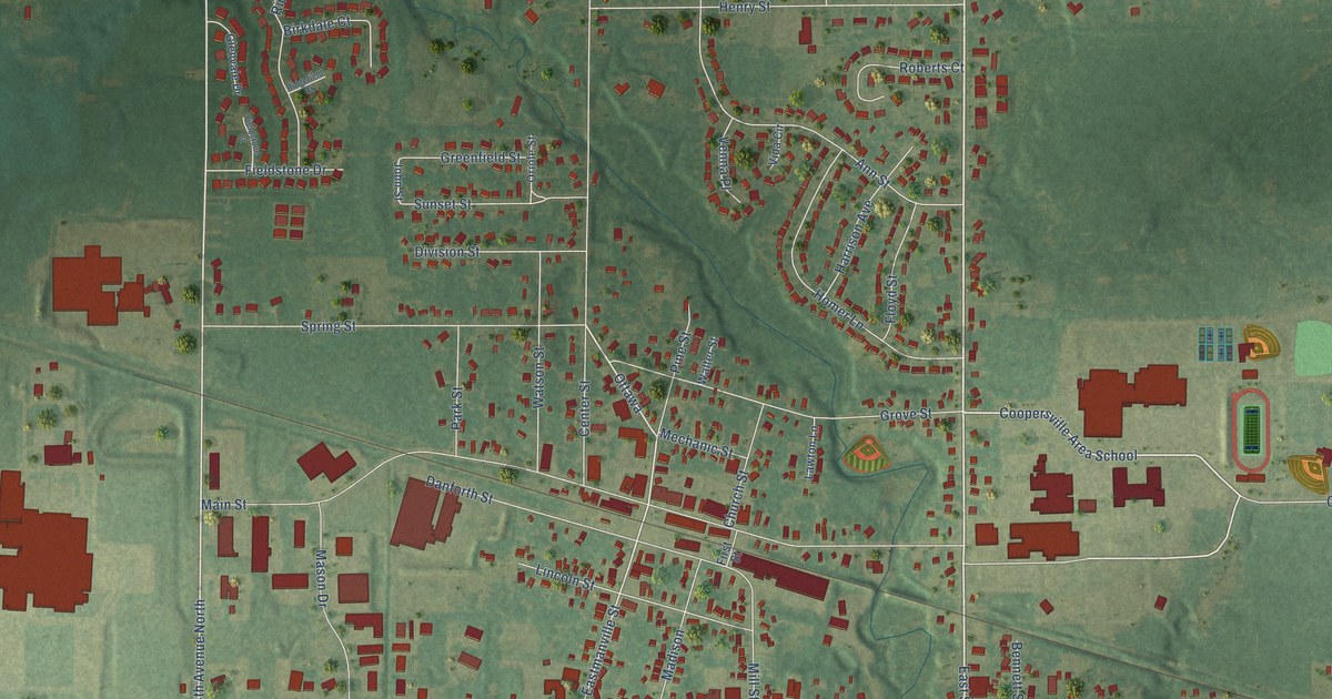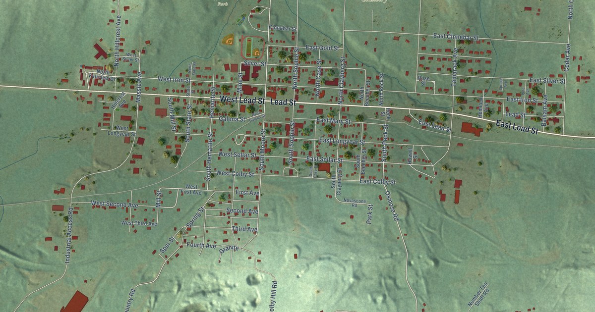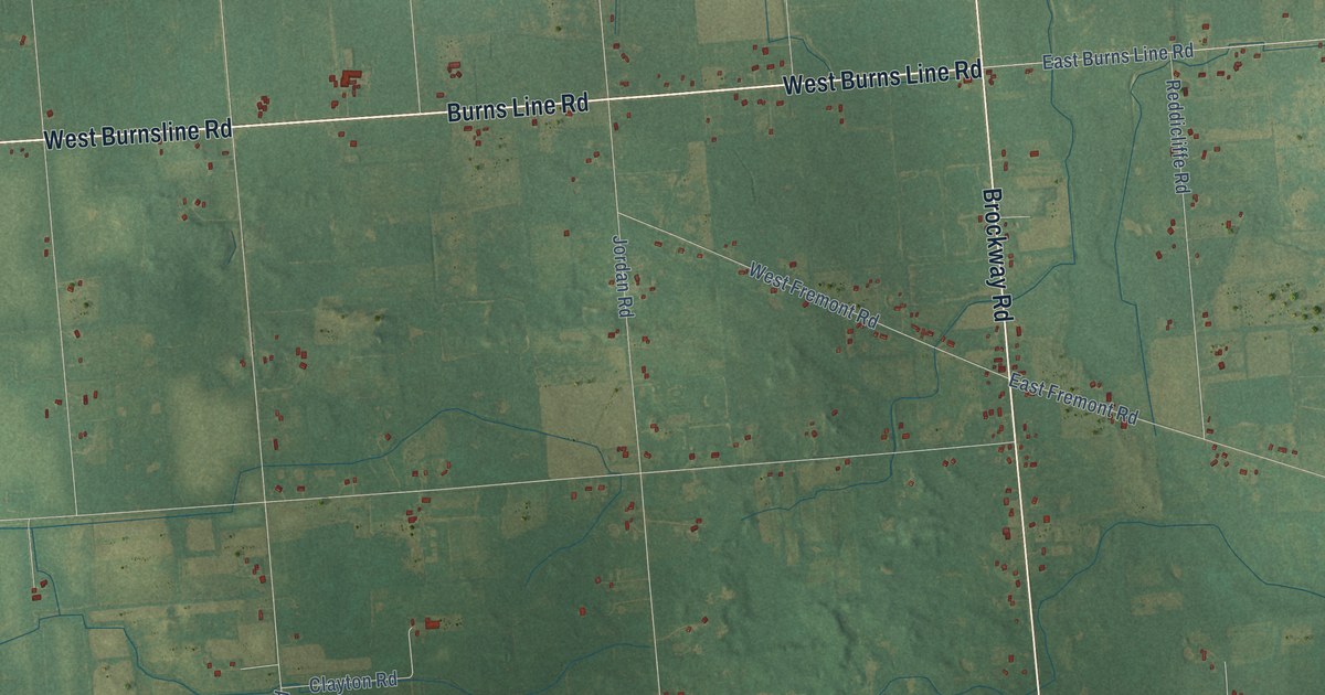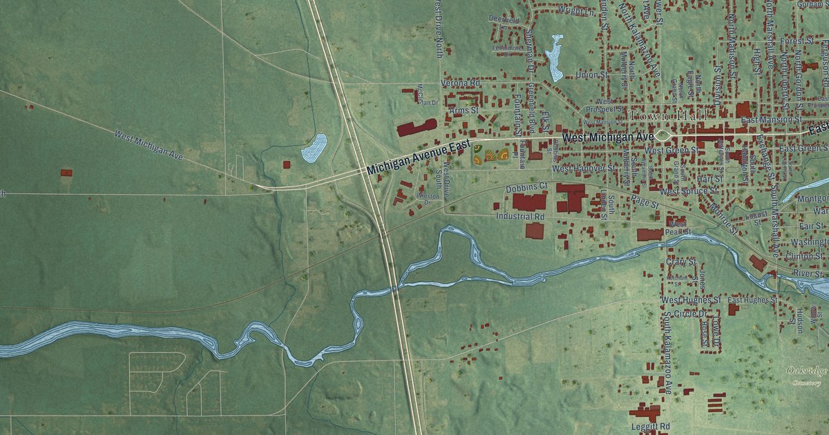
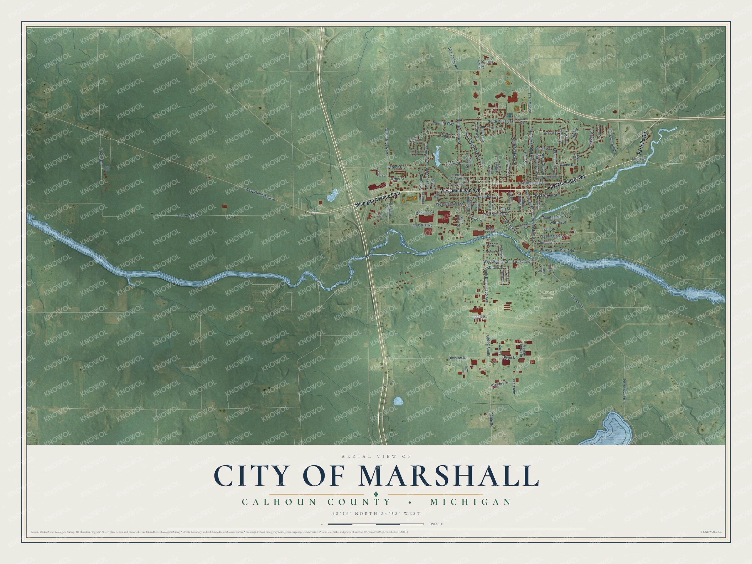
This beautifully detailed map of Marshall, Michigan was created in 2026 using aerial imagery combined with modern topographical, census, street and landmark data. It's a modern aerial view of Marshall in Calhoun County, Michigan, that combines modern data with a vintage aesthetic. The roads feature printed names, and if you look closely you can find your exact house accurately shown in its correct location.
Explore an aerial view of Marshall, Michigan
On this map you'll find Town Hall, Oakridge Cemetery, West Michigan Avenue, East Michigan Avenue, Partello Road, Michigan Avenue East, East Mansion Street, East Drive, Oliver Drive, Division Drive, West Spruce Street, East Green Street, and more. Each red shape is a building, so zoom in on the preview and look for yours.
Every town has a first chapter, and Marshall is no exception. The History of Calhoun County puts it this way: "The first oil-mill erected in the State was built in Marshall, by Lewis Wilson and Darius Clark, in 1839, and the farmers went into the flax culture, but it was not a long-lived business."
Marshall is a city in Calhoun County. The Census Bureau counted 6,822 people here in 2020.
Take a closer look at the Marshall map
Names on this map
These names are printed on this map.
Places: Town Hall and Oakridge Cemetery.
Streets and roads: West Michigan Avenue, East Michigan Avenue, Partello Road, Michigan Avenue East, East Mansion Street, East Drive, North Drive East, Oliver Drive, Division Drive, West Spruce Street, East Green Street, Old 27 South.
More street names, A to Z
13 Mile Road, 17 Mile Road, Adams, Allcott Avenue, Allen Road, Arms Street, Brewer Street, Brooks Drive, Butler Court, C-Drive North, Circle Drive, Clinton Street, Colegrove, Crary Street, D-Drive North, Deerfield Lane, Division Street, Dobbins Court, Dobbins Street, East Hughes Street, East Prospect Street, Elk Street, Exchange Street, Fair Street, Fennimore Drive, Ferguson Road, Forest Street, Fountain Place, Fountain Street, George Brown Drive, Gorham Street, Greenfield Boulevard, Grove Court, Hart Street, High Street, Hill Road, Homer Road, Hudson Street, Industrial Road, Jones Street, Ketchum Street, Leggitt Road, Locust Street, Lowe Drive, Mann Road, McClellan Drive, Michigan Avenue, Monroe Street, Montgomery Street, North Eagle Street, North Gordon Street, North Grand Street, North Kalamazoo Avenue, North Liberty Street, North Linden Street, North Madison Street, North Marshall Avenue, North Mulberry Street, O'Keefe Road, Old 27 North, Page Street, Pratt Avenue, River Road, River Street, Rose Street, Sam Hill Drive, Sherman Drive, Sibley Lane, South Grand Street, South Hamilton Street, South Jefferson Street, South Kalamazoo Avenue, South Liberty Street, South Linden Street, South Marshall Avenue, South Mulberry Street, South Sycamore Street, Terrace Drive, Union Street, Ventura Way, Verona Road, Warren Street, Washington Street, West Drive North, West Drive South, West Green Street, West Hanover Street, West Hughes Street, West Mansion Street, West Pearl Street, West Prospect Street, Willow Street, Winston Drive, Woodruff Drive, Woolley Drive, Wright Lane.
Created by KNOWOL in 2026. The buildings are small red shapes, the roads carry their printed names, and shaded relief shows the shape of the land. The title panel reads "AERIAL VIEW OF CITY OF MARSHALL, CALHOUN COUNTY • MICHIGAN" with 42°16' NORTH 84°58' WEST.
Hang it in the hallway, the office or the cabin, or give it to someone who left Marshall and still calls it home. Open the preview and look for a street you know. See sizes and frames for the Marshall map.