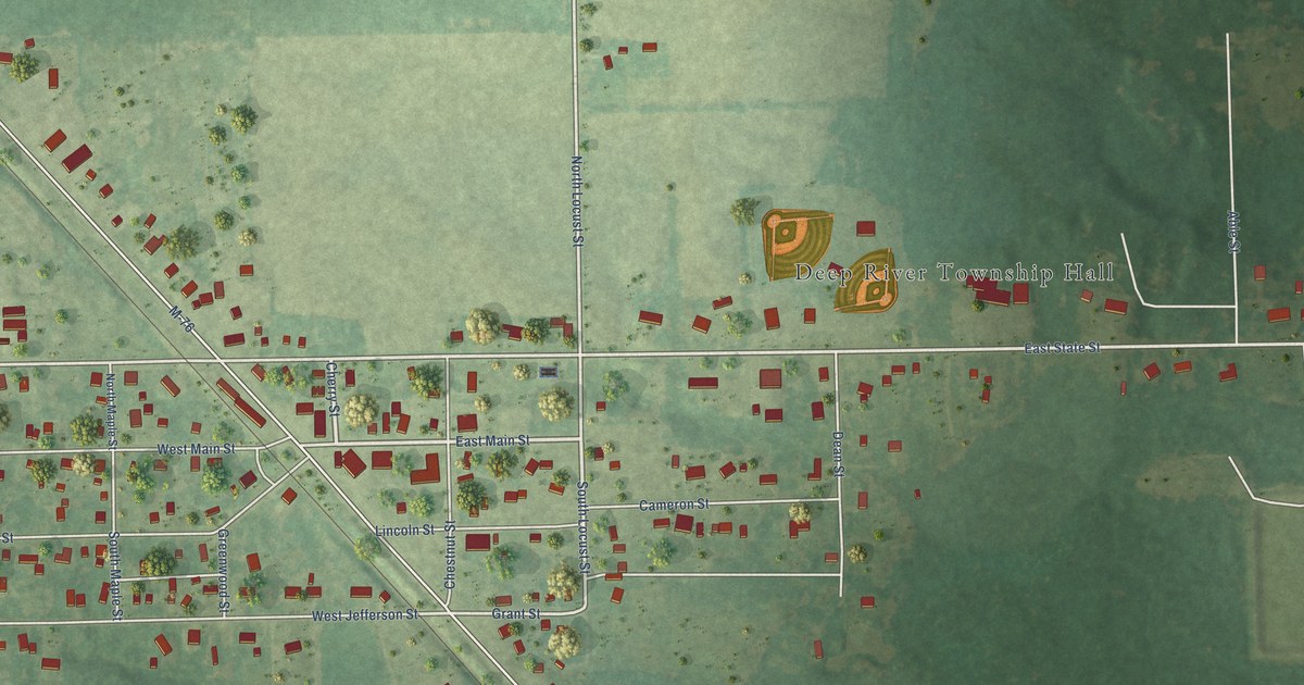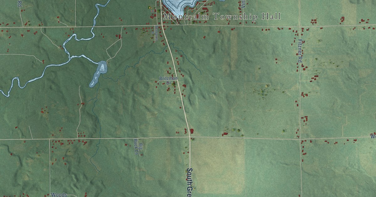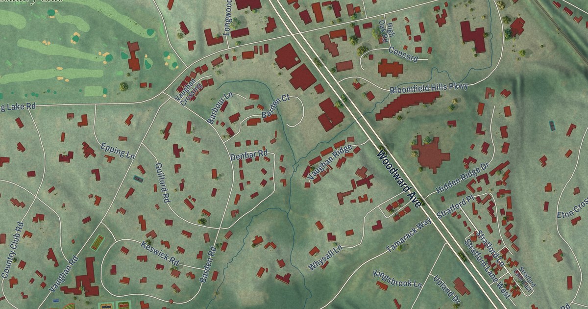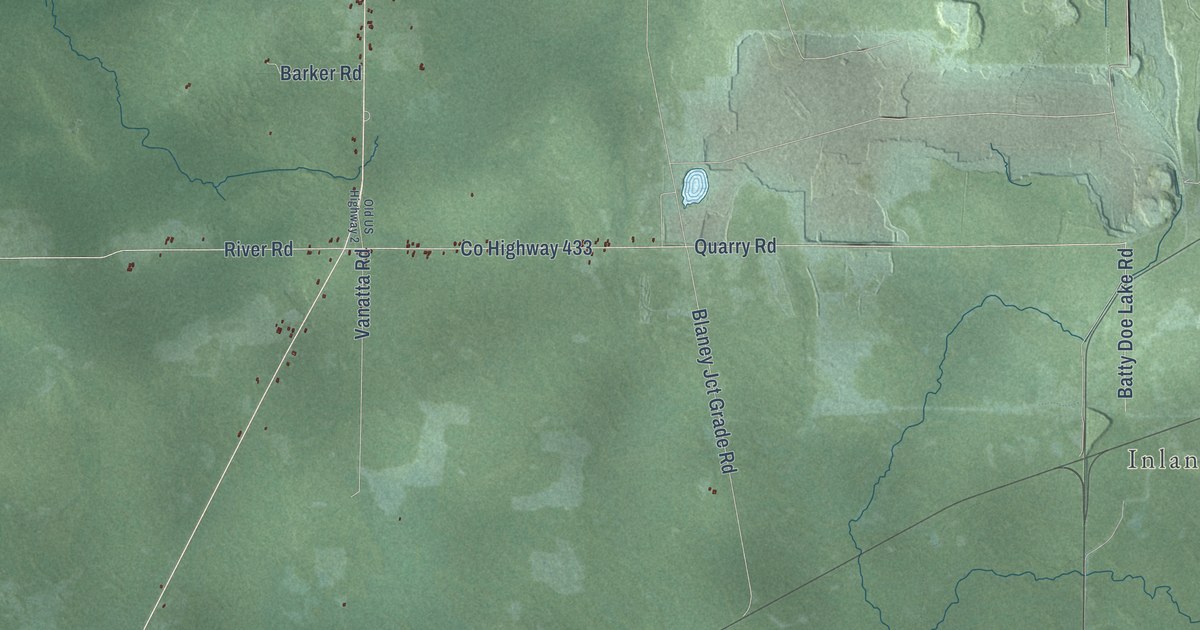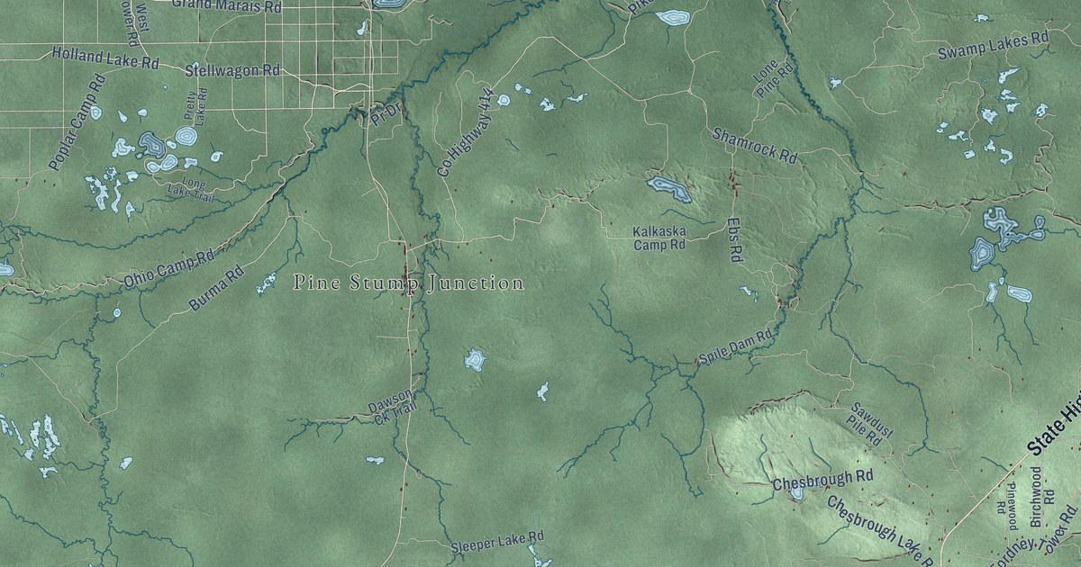
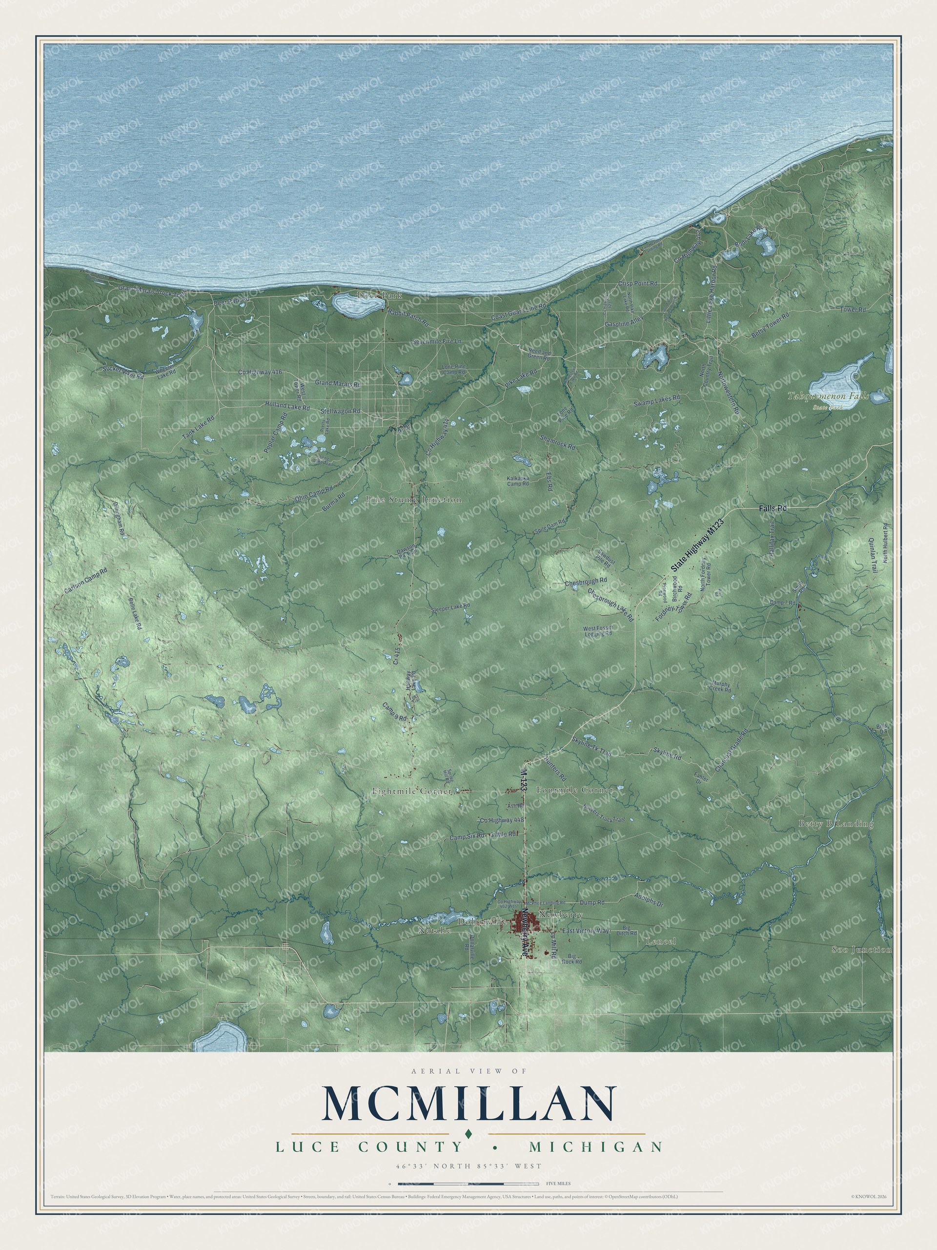
This beautifully detailed map of McMillan, Michigan was created in 2026 using aerial imagery combined with modern topographical, census, street and landmark data. It's a modern aerial view of McMillan in Luce County, Michigan, that combines modern data with a vintage aesthetic. The roads feature printed names, and if you look closely you can find your exact house accurately shown in its correct location.
Explore an aerial view of McMillan, Michigan
On this map you'll find Soo Junction, Betty B Landing, Lencel, Tahquemenon Falls State Park, Deer Park, Dollarville, Eightmile Corner, Fourmile Corner, Natalie, Newberry, Pine Stump Junction, M-123, and more. Each red shape is a building, so zoom in on the preview and look for yours.
McMillan has a story worth telling. The record at arcgis.com puts it this way: "The Luce County Historical Society rescued this building from demolition in 1975 and restored it as the Luce County Historical Museum, which opened in 1976."
The Census Bureau counted 2,471 people here in 2020.
Take a closer look at the McMillan map
Names on this map
These names are printed on this map.
Places: Soo Junction, Betty B Landing, Lencel, Tahquemenon Falls State Park, Deer Park, Dollarville, Eightmile Corner, Fourmile Corner, Natalie, Newberry and Pine Stump Junction.
Streets and roads: M-123, Falls Road, Newberry Avenue, Sucker River Road, Tank Lake Road, Grand Marais Road, Grand Marais Truck Trail, County Highway 416, Crisp Point Road, Ohio Camp Road, Little Lake Harbor Road, Pike Lake Road.
More street names, A to Z
3 Mile Road, Adolphs Drive, Ash Road, Belle Lake Road, Betsy Tower Road, Big Ditch Road, Big Rock Road, Bills Drive, Birchwood Road, Bodi Lake Road, Burma Road, Camp 7 Road, Camp 9 Road, Camp Six Road, Carlson Camp Road, Charcoal Grade Road, Chesbrough Lake Road, Chesbrough Road, Coast Guard Line Road, County Highway 412, County Highway 414, County Highway 423, County Highway 448, County Highway 462 West, Cr 415, Dawson Ck Trail, Deer Park Road, Dillingham Road, Dollarville Road, Dump Road, East Victory Way, Ebs Road, Fahler Drive, Fawn Trail, Fordney Tower Road, Gasoline Alley, Halfway Lake Road, Hallifax Trail, Holland Lake Road, Homestead Lake Road, Hunters Road, Hunters Truck Trail, Kalkaska Camp Road, Little Two Hearted River Road, Lone Pine Camp Road, Lone Pine Road, Long Lake Trail, Lp Mill Road, McPhee Landing Road, Murphy Creek Road, North Country Trail, North Fordney Tower Road, North Hulbert Road, North Pike Lake Road, Northwestern Road, Pinewood Road, Poplar Camp Road, Pr Drive, Pretty Lake Road, Quinlan Trail, Rabbit Patch Road, Reed and Green Road, River Road, Sawdust Pile Road, Sevenmile Fire Lane, Shamrock Road, Skyline Road, Skyline Tk Trail, Sleeper Lake Road, Smith Road, Spile Dam Road, Spring Hill Road, Stellwagon Road, Swamp Lakes Road, Tower Road, Two Hearted Landing Road, West Fossitt Logging Road, West Superior Dunes Road, West Tower Road, Wheeler Lake Road.
Created by KNOWOL in 2026. The buildings are small red shapes, the roads carry their printed names, and shaded relief shows the shape of the land. The title panel reads "AERIAL VIEW OF MCMILLAN, LUCE COUNTY • MICHIGAN" with 46°33' NORTH 85°33' WEST.
It looks right in a kitchen, an office or a den, and it's a gift for anyone who grew up in McMillan or moved away. Open the preview and find your street. See sizes and frames for the McMillan, Luce County map.