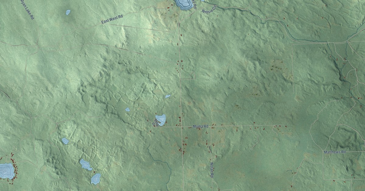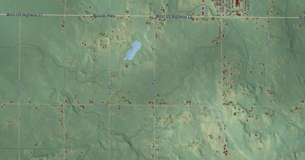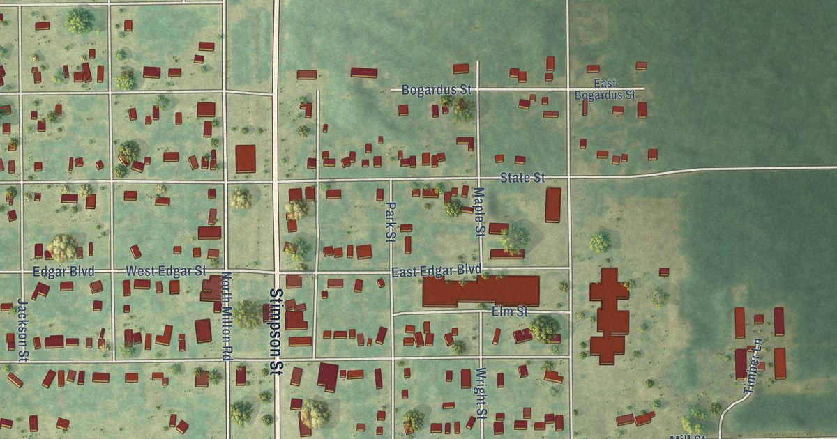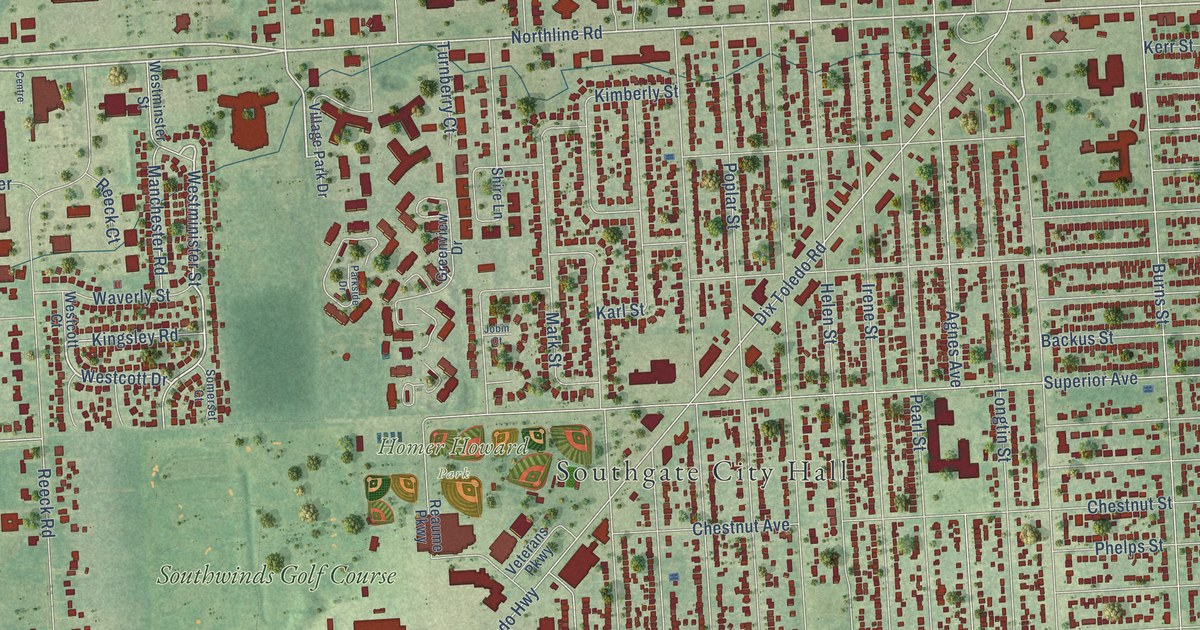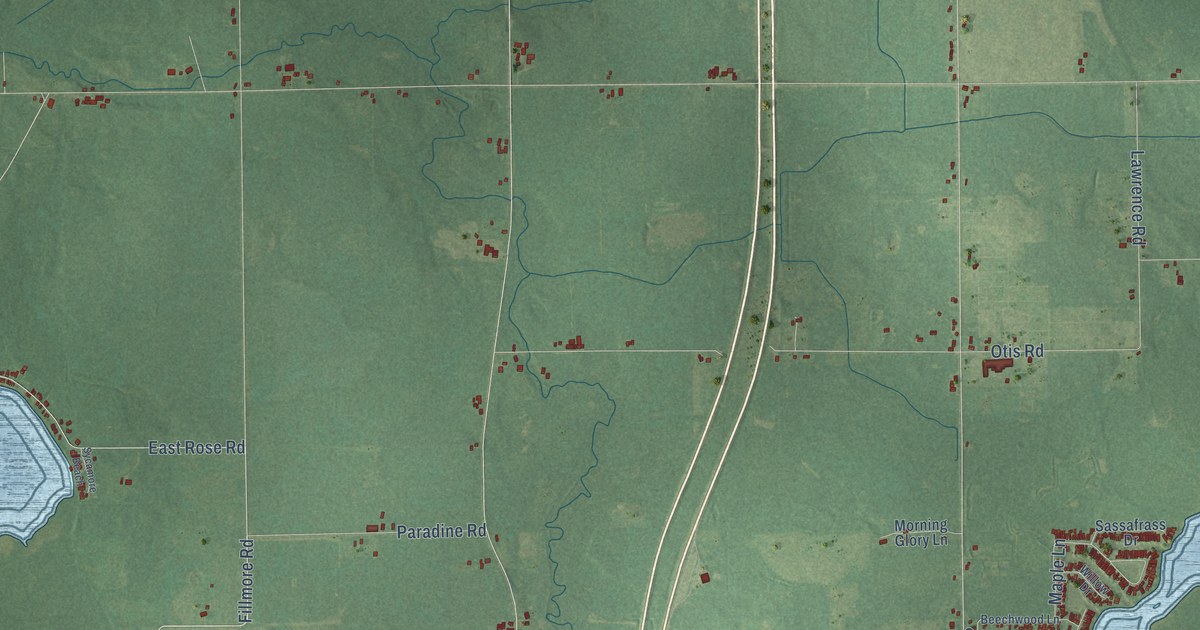
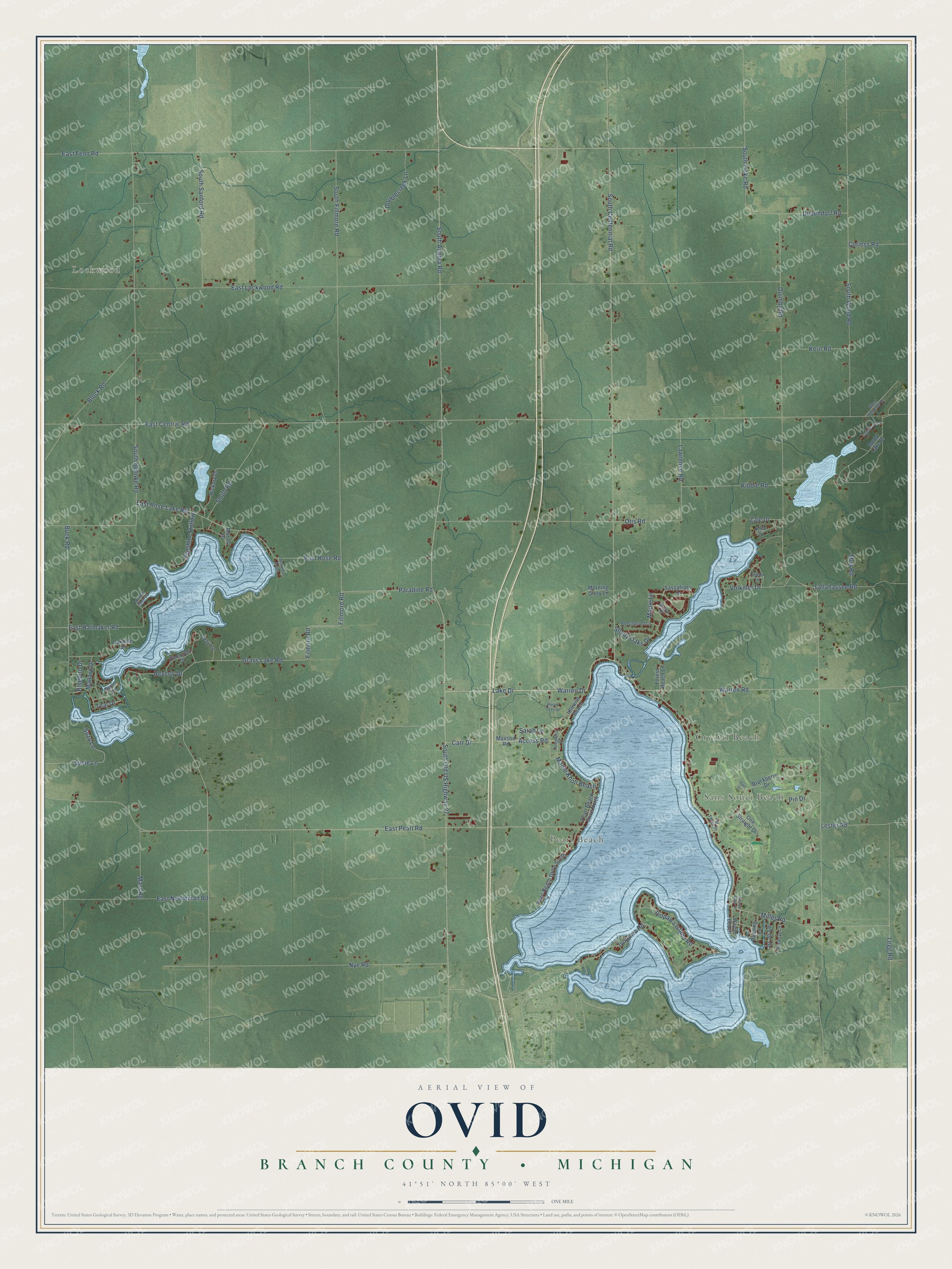
This beautifully detailed map of Ovid, Michigan was created in 2026 using aerial imagery combined with modern topographical, census, street and landmark data. It's a modern aerial view of Ovid in Branch County, Michigan, that combines modern data with a vintage aesthetic. The roads feature printed names, and if you look closely you can find your exact house accurately shown in its correct location.
Explore an aerial view of Ovid, Michigan
On this map you'll find Lockwood, Sans Souci Beach, Pearl Beach, Crystal Beach, East Fenn Road, Lake Drive, Grass Lake Road, South Fiske Road, East Pearl Road, Warren Drive, Warren Road, Fillmore Road, and more. Each red shape is a building, so zoom in on the preview and look for yours.
Ovid has a story worth telling. The History of Branch County puts it this way: "Ovid was a vast stretch of uncleared timber land in 1831, and, as nearly as can be ascertained, Howard Bradley and Richard and Nelson Salsberry were the first settlers."
The Census Bureau counted 2,161 people here in 2020.
Take a closer look at the Ovid map
Names on this map
These names are printed on this map.
Places: Lockwood, Sans Souci Beach, Pearl Beach and Crystal Beach.
Streets and roads: East Fenn Road, Lake Drive, Grass Lake Road, South Fiske Road, East Pearl Road, Warren Drive, Warren Road, Fillmore Road, Miller Road, South Centennial Road, Smith Road, Buck Road.
More street names, A to Z
Access Road, Beechwood Lane, Beverly Drive, Blackberry Drive, Block Road, Bluebird Drive, Branch Lake Drive, Buckeye Lane, Bussing Lane, Carr Drive, Center Lane, Corless Road, Doublecreek Lane, Dubendorf Road, East Central Road, East Hatmaker Road, East Lockwood Road, East Nettleman Road, East Rose Lake Road, East Rose Road, Filmore Road, Forest Beach Lane, Golf Drive, Harbor Cove Drive, Hickory Drive, Idlewild Beach, Iyopawa Island Road, Iyopawa Road, Jo Jo Lane, Kern Road, Kibbie Road, Kim Drive, Lawrence Road, Lazy Cv, Legg Road, Lester Road, Lighthouse Drive, Mallard Drive, Maple Knoll Beach, Maple Lane, Marina Drive, Mast Road, Maxson Road, Melody Shores, Morning Glory Lane, Mudd Lake Drive, Mud Road, Nye Road, Oakdale Drive, One Straight Drive, Otis Road, Paradine Road, Par Three Place, Pearl Beach Drive North, Pearl Beach Drive South, Pin Drive, Pinecrest Drive, Quimby Road, Sarah Lane, Sassafrass Drive, Shady Oaks Drive, South Angola Road, South Behnke Road, South Fillmore Road, South Old US Highway 27, South Sanford Road, South Wood Road, Sunshine Hollow, Susie Lane, Suzy Lane, Swan Lane, Sycamore Beach, Tallahassee Road, Teal Drive, Tompkins Drive, Volkmer Drive, Wayne Beach, West Channel Drive, Willow Drive, Zale Drive.
Created by KNOWOL in 2026. The buildings are small red shapes, the roads carry their printed names, and shaded relief shows the shape of the land. The title panel reads "AERIAL VIEW OF OVID, BRANCH COUNTY • MICHIGAN" with 41°51' NORTH 85°00' WEST.
It looks right in a kitchen, an office or a den, and it's a gift for anyone who grew up in Ovid or moved away. Open the preview and find your street. See sizes and frames for the Ovid, Branch County map.