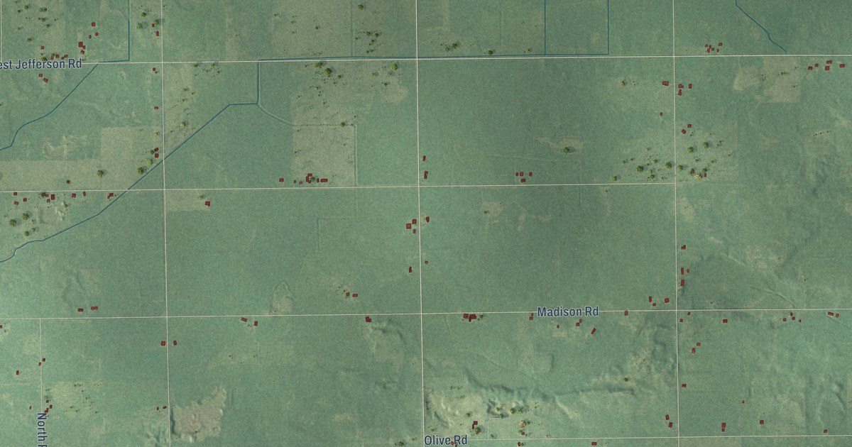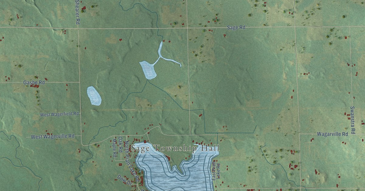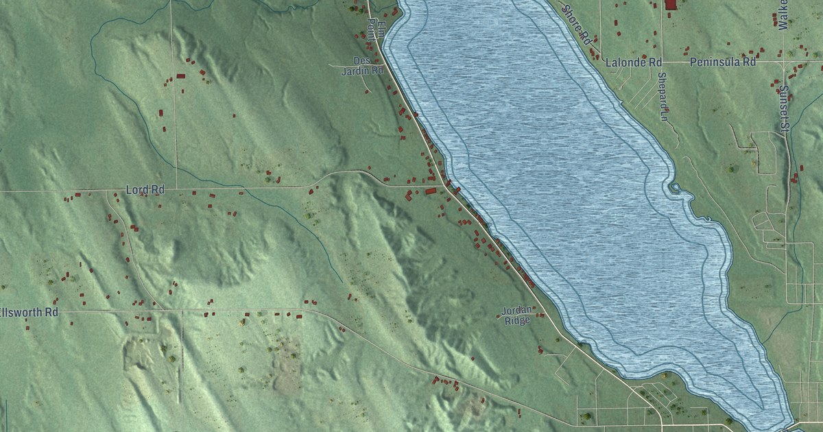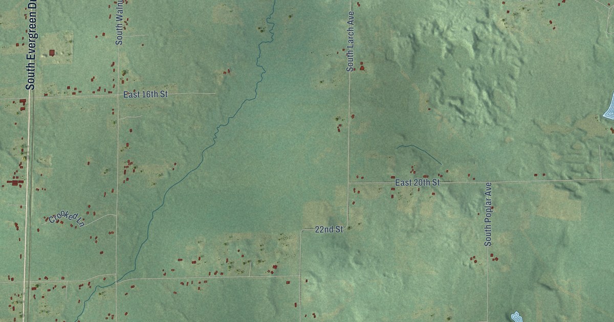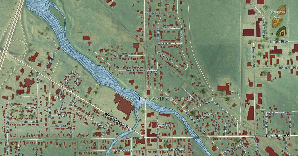
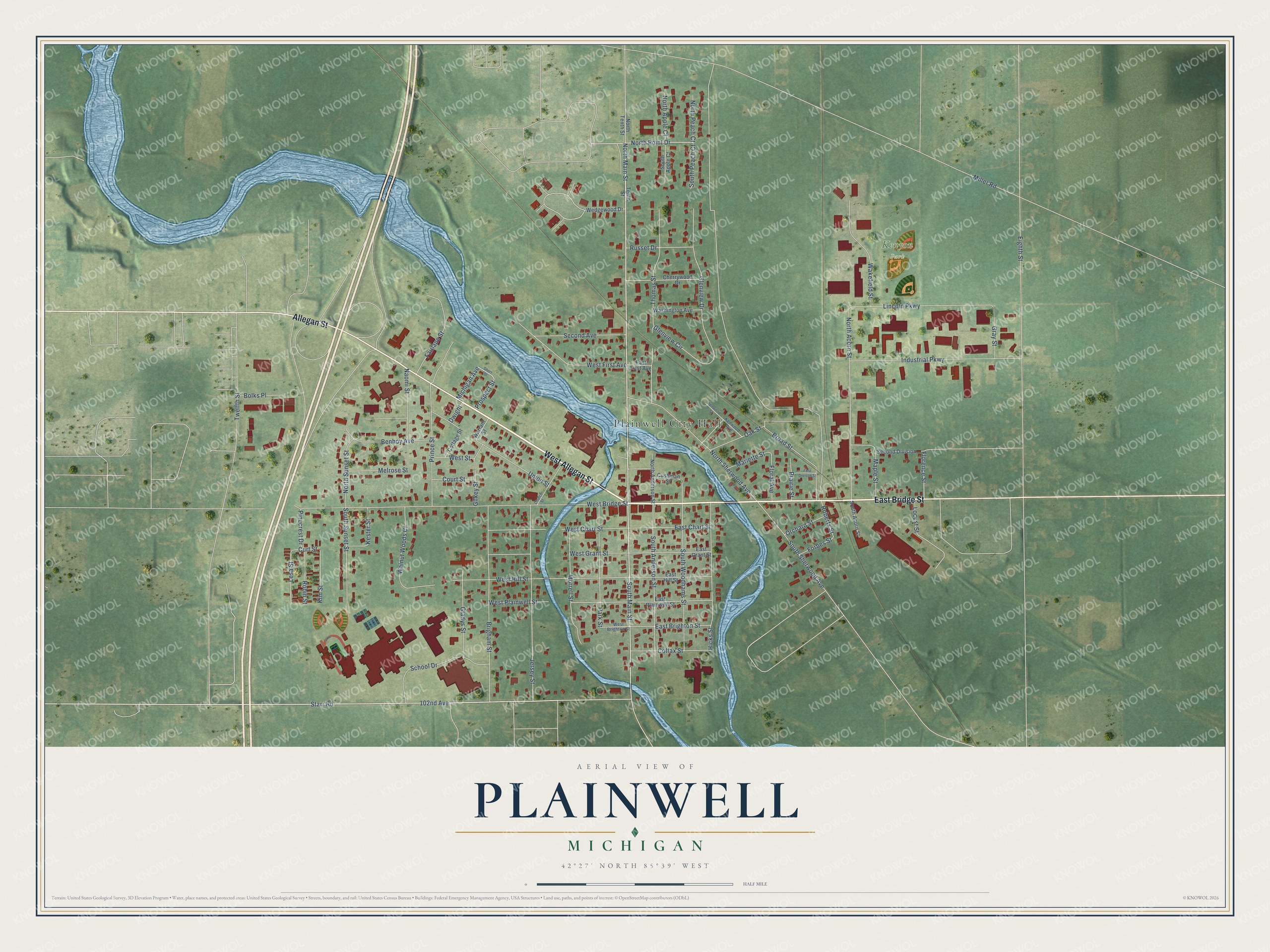
This beautifully detailed map of Plainwell, Michigan was created in 2026 using aerial imagery combined with modern topographical, census, street and landmark data. It's a modern aerial view of Plainwell in Allegan County, Michigan, that combines modern data with a vintage aesthetic. The roads feature printed names, and if you look closely you can find your exact house accurately shown in its correct location.
Explore an aerial view of Plainwell, Michigan
On this map you'll find Plainwell City Hall, Kenyon Park, West Allegan Street, East Bridge Street, Allegan Street, North Main Street, South Main Street, North Point Drive, Starr Road, Michigan Avenue, 102nd Avenue, Florence Street, and more. Each red shape is a building, so zoom in on the preview and look for yours.
Here is a piece of Plainwell history, in the words of the record. The History of Allegan and Barry Counties puts it this way: "As previously mentioned, the Plainwell post-office was first established in 1833, Dr. Cyrenius Thompson, the first settler in the township, becoming the first postmaster. Mails were received weekly, via Gull Prairie, John H. Adams usually performing duty as mail-carrier."
Plainwell is a city in Allegan County. The Census Bureau counted 3,788 people here in 2020.
Take a closer look at the Plainwell map
Names on this map
These names are printed on this map.
Places: Plainwell City Hall and Kenyon Park.
Streets and roads: West Allegan Street, East Bridge Street, Allegan Street, North Main Street, South Main Street, North Point Drive, Starr Road, Michigan Avenue, 102nd Avenue, Florence Street, North Acorn Street, Lincoln Parkway.
More street names, A to Z
Benhoy Avenue, Bolks Place, Brigham Street, Broad Street, Cherrywood Drive, Church Street, Colfax Street, Cottage Street, Court Street, Curt Street, Cushman Street, Dwight, East Brighton Street, East Chart Street, East First Avenue, East Grant Street, East Hill Street, East Plainwell Street, Eighth Street, Fairlane Street, First Divison Street, Floral Avenue, Forbes Street, Gilkey Street, Gladys Street, Glenview Circle, Glenview Drive, Gray Street, Hicks Street, Industrial Parkway, Jersey Street, Kenwood Avenue, Kenwood Street, Kester Street, Kim Street, Lesa Street, Locust Street, Maple Street, Mariette Street, Melrose Street, Miller Road, Morrell Street, Naomi Street, North Anderson Street, North Apple Court, North Peach Court, North Sherwood Avenue, North Sunset Street, North Tenth Street, Oak Street, Orchard Street, Park Street, Pinecrest Drive, Prairie Street, Prince Street, Prospect Street, Roberts Street, Robin Street, Russet Drive, School Drive, Second Avenue, Second Division, Short Street, South Acorn Street, South Anderson Street, South Apple Court, South Peach Court, South Sherwood Avenue, South Sunset Street, South Woodhams Street, Tenth Street, Thomas Street, Twelfth Street, Union Street, Wakefield Street, Walnut Woods Court, Warrant Street, Washington Avenue, Wedgewood Drive, West Bridge Street, West Brighton Street, West Chart Street, West First Avenue, West Grant Street, West Hill Street, West Plainwell Street, West Street.
Created by KNOWOL in 2026. The buildings are small red shapes, the roads carry their printed names, and shaded relief shows the shape of the land. The title panel reads "AERIAL VIEW OF PLAINWELL, MICHIGAN" with 42°27' NORTH 85°39' WEST.
It suits a den, a classroom or a front hall, and it makes a gift for anyone with Plainwell roots. Open the preview and find the block you know. See sizes and frames for the Plainwell map.