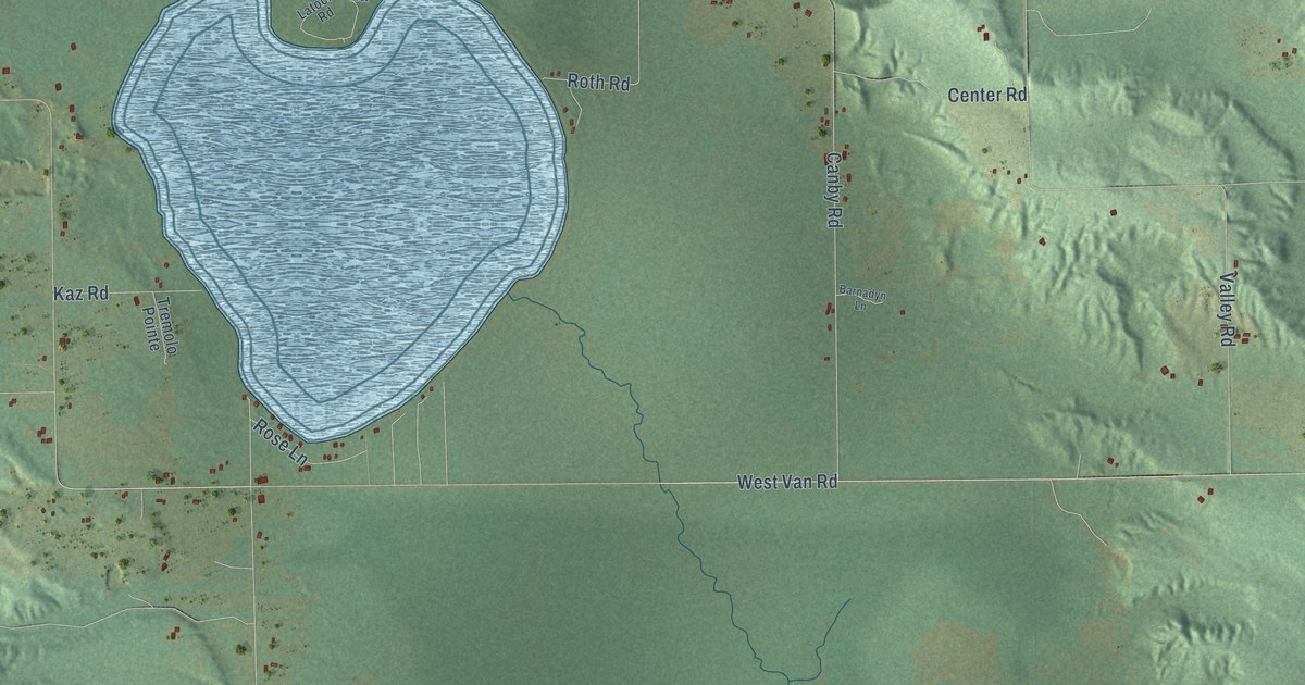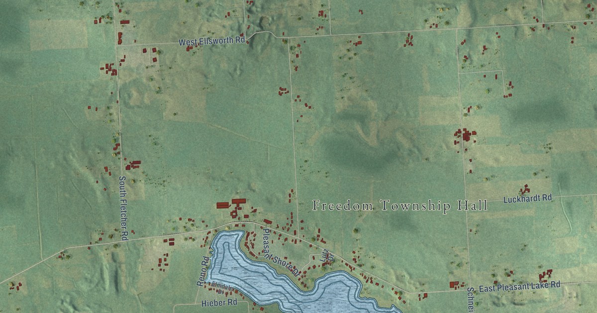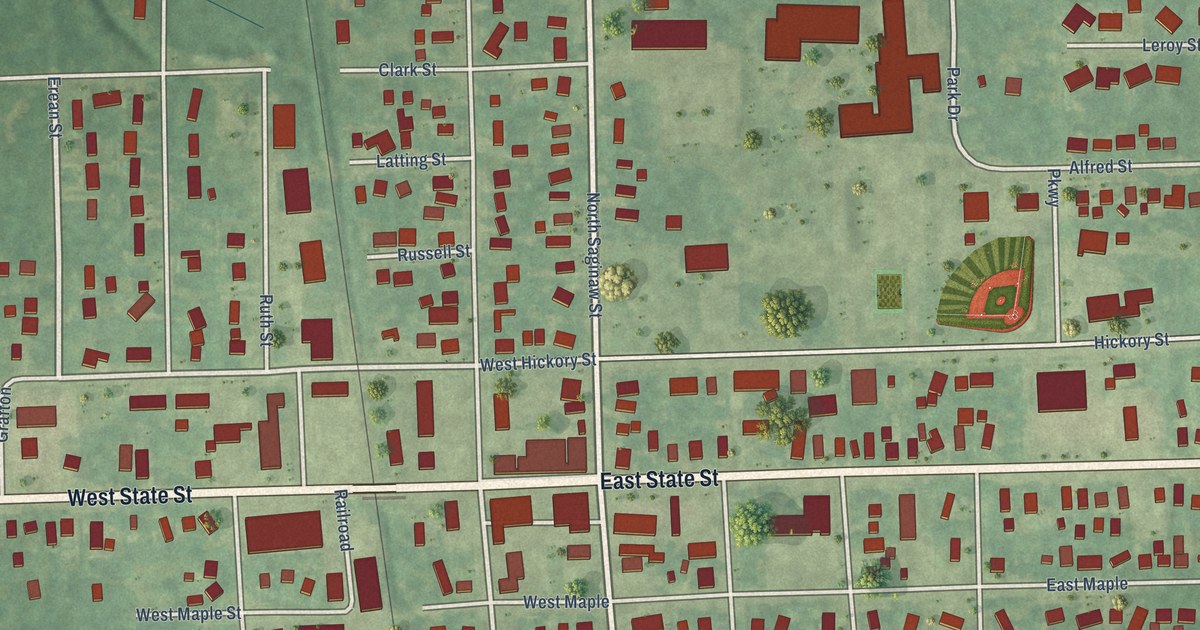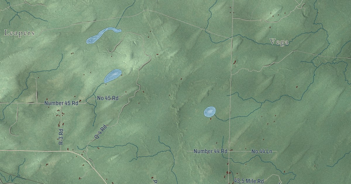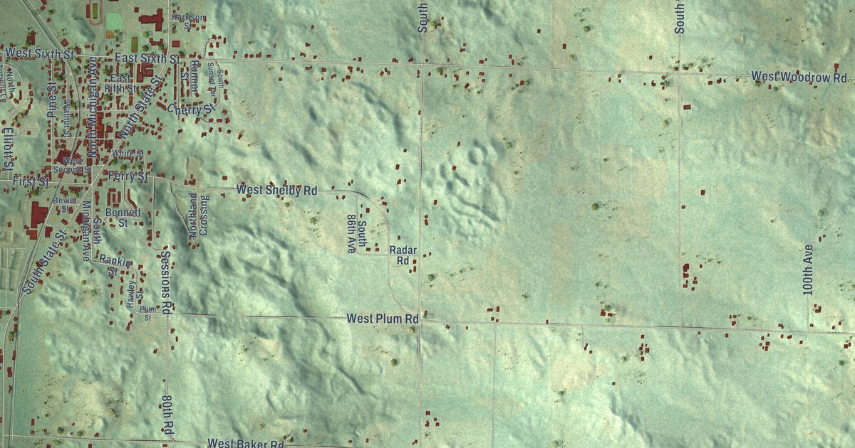
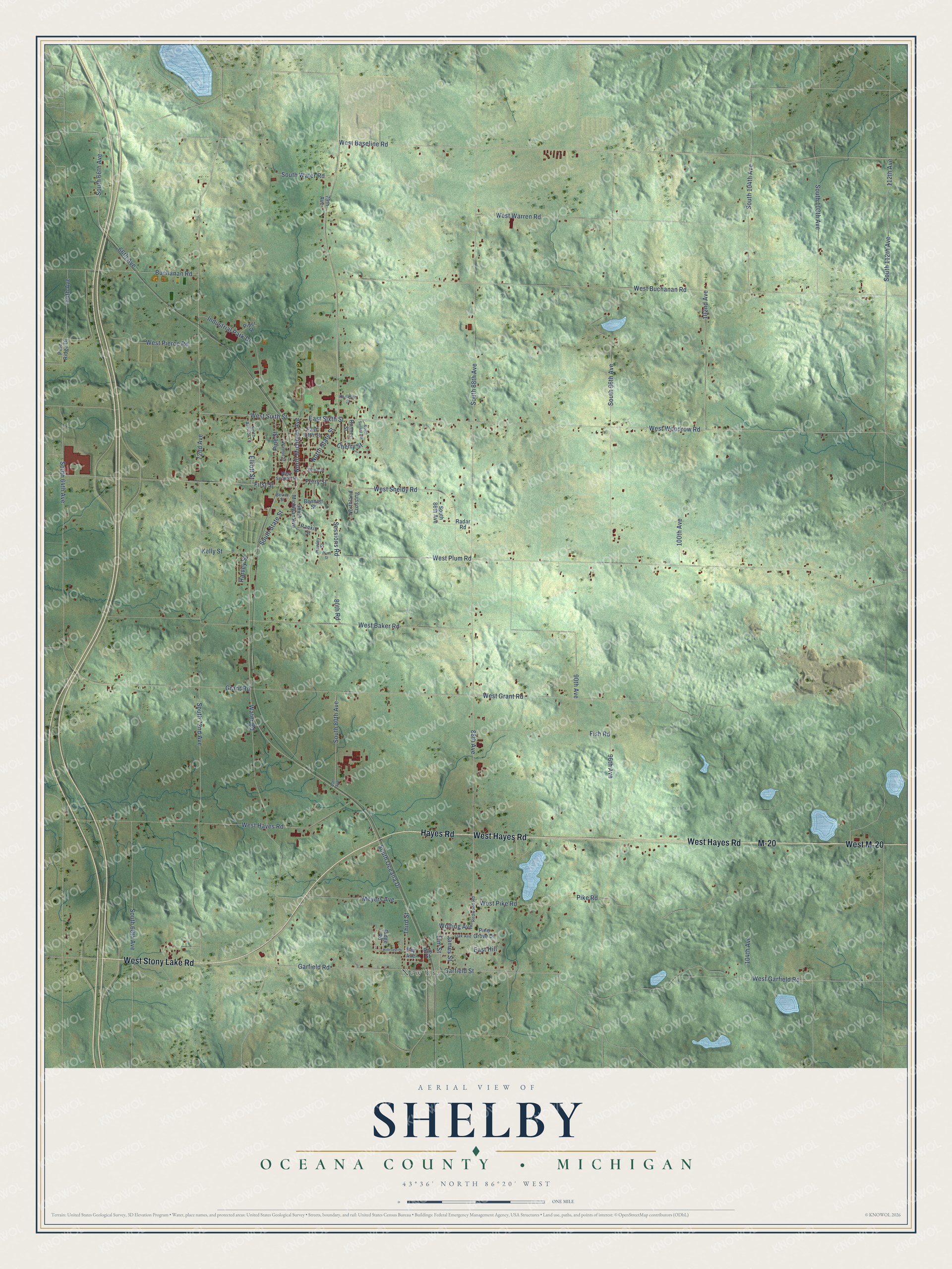
This beautifully detailed map of Shelby, Michigan was created in 2026 using aerial imagery combined with modern topographical, census, street and landmark data. It's a modern aerial view of Shelby in Oceana County, Michigan, that combines modern data with a vintage aesthetic. The roads feature printed names, and if you look closely you can find your exact house accurately shown in its correct location.
Explore an aerial view of Shelby, Michigan
On this map you'll find New Era, West Stony Lake Road, West Hayes Road, Hayes Road, M-20, West M-20, South Oceana Drive, North State Street, West Sixth Street, North Michigan Avenue, West Baseline Road, West Woodrow Road, and more. Each red shape is a building, so zoom in on the preview and look for yours.
Shelby has a story worth telling. The Oceana County Pioneers and Business Men puts it this way: "By Act of the Legislature the name of Leroy was changed to Benona, and Benona to Shelby."
The Census Bureau counted 4,109 people here in 2020.
Take a closer look at the Shelby map
Names on this map
These names are printed on this map.
Places: New Era.
Streets and roads: West Stony Lake Road, West Hayes Road, Hayes Road, M-20, West M-20, South Oceana Drive, North State Street, West Sixth Street, North Michigan Avenue, West Baseline Road, West Woodrow Road, South State Street.
More street names, A to Z
64th Avenue, 66th Avenue, 72nd Avenue, 79th Avenue, 80th Avenue, 80th Road, 88th Avenue, 90th Avenue, 96th Avenue, 100th Avenue, 102nd Avenue, 104th Avenue, 112th Avenue, Bennett Street, Bevier Street, Buchanan Road, Cherry Street, East Fifth Street, East Hill, East Sixth Street, Elliott Street, Elm Street, Ferry Street, First Street, Fish Road, Garfield Road, Garfield Street, Grant Road, Harrison Street, Harvey Street, Hawley Street, Hillcrest Drive, Industrial Park Drive, James Street, Kelly Street, Meyers Avenue, North Apricot Lane, Northland Crossing, Oak Avenue, Pike Road, Pine Grove Drive, Pine Ridge Drive, Pine Street, Piper Street, Plum Street, Radar Road, Rankin Street, Ray Avenue, Ray Street, Redwood Road, Ridge Road, Runner Street, Sessions Road, South 64th Avenue, South 66th Avenue, South 68th Avenue, South 72nd Avenue, South 80th Avenue, South 86th Avenue, South 88th Avenue, South 96th Avenue, South 104th Avenue, South 108th Avenue, South 112th Avenue, South Michigan Avenue, South Sunset Terrace, South Water Road, Third Street, Walnut Street, Water Road, West Baker Road, West Buchanan Road, West Garfield Road, West Grant Road, West Pierce Road, West Pike Road, West Plum Road, West Second Street, West Shelby Road, West Warren Road, White Street, Wolting Avenue.
Created by KNOWOL in 2026. The buildings are small red shapes, the roads carry their printed names, and shaded relief shows the shape of the land. The title panel reads "AERIAL VIEW OF SHELBY, OCEANA COUNTY • MICHIGAN" with 43°36' NORTH 86°20' WEST.
It looks right in a kitchen, an office or a den, and it's a gift for anyone who grew up in Shelby or moved away. Open the preview and find your street. See sizes and frames for the Shelby, Oceana County map.