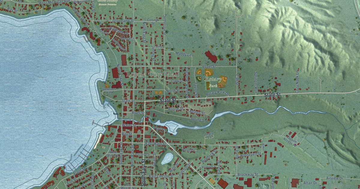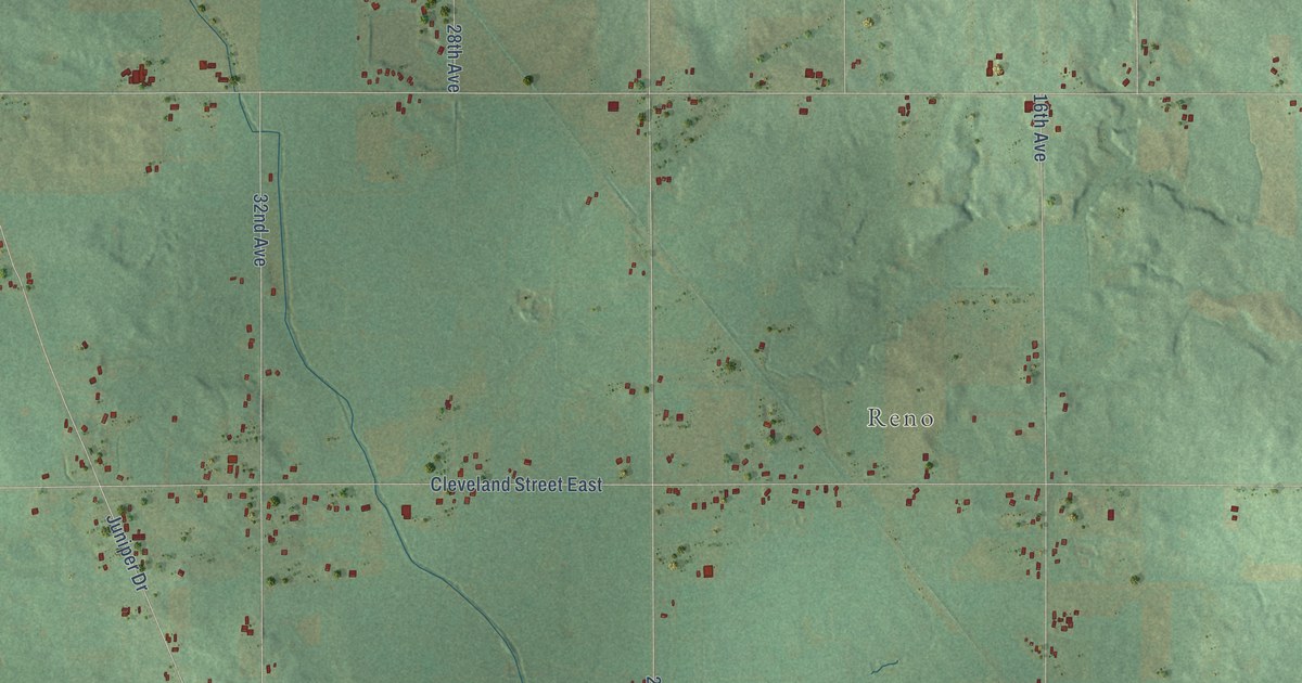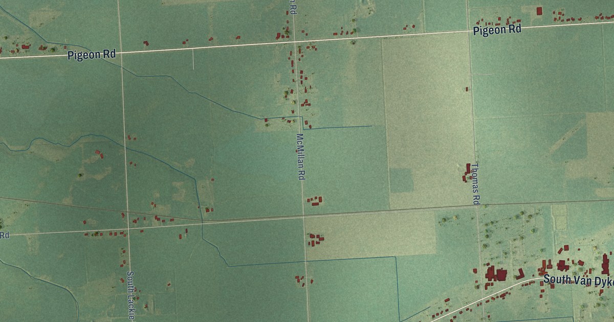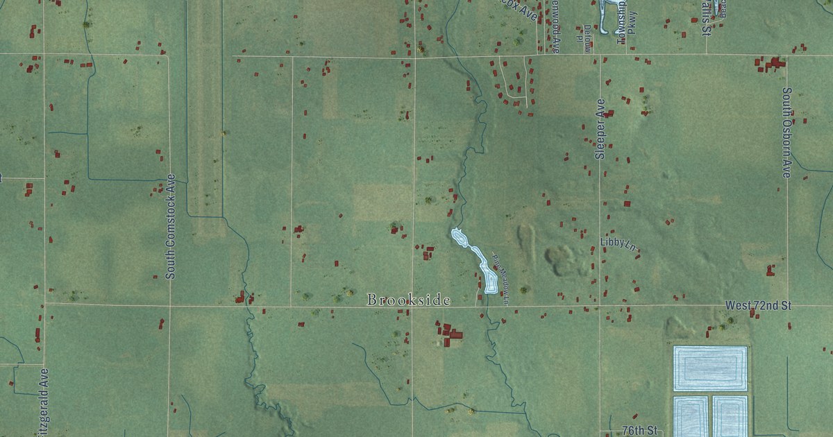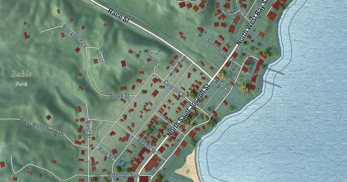
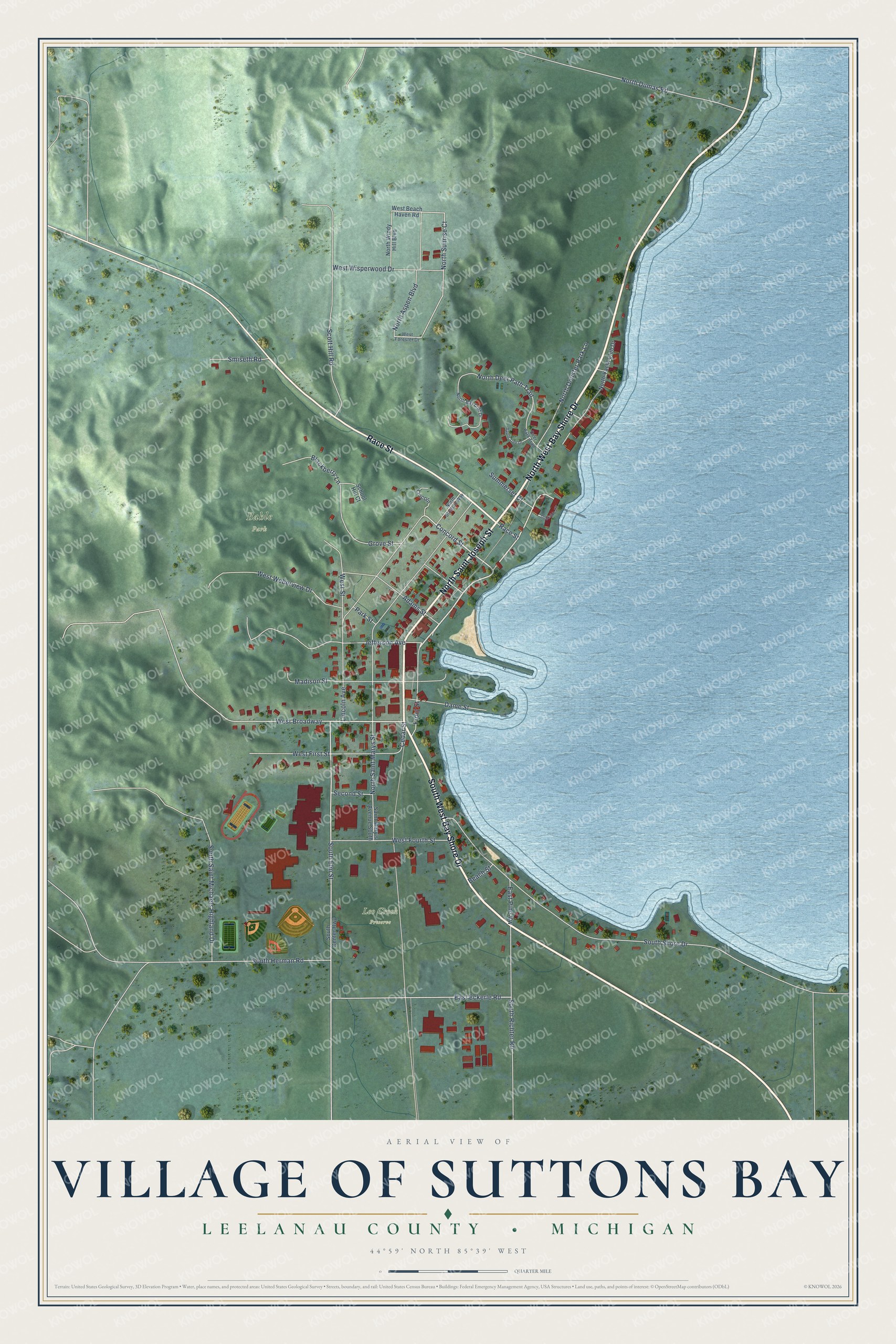
This beautifully detailed map of Suttons Bay, Michigan was created in 2026 using aerial imagery combined with modern topographical, census, street and landmark data. It's a modern aerial view of Suttons Bay in Leelanau County, Michigan, that combines modern data with a vintage aesthetic. The roads feature printed names, and if you look closely you can find your exact house accurately shown in its correct location.
Explore an aerial view of Suttons Bay, Michigan
On this map you'll find Bahle Park, Leo Creek Preserve, North West Bay Shore Drive, South West Bay Shore Drive, Race Street, North Saint Joseph Street, Front Street, Concord Street, North Sunrise Court, West Broadway, Cedar Street, North Deer Path Trail, and more. Each red shape is a building, so zoom in on the preview and look for yours.
Every town has a first chapter, and Suttons Bay is no exception. The Leelanau County Historical and Descriptive puts it this way: "In 1878, Suttons Bay erected a large two story school building the best in the county, and which will favorably compare with like buildings in any part of the state."
Suttons Bay is a village in Leelanau County. The Census Bureau counted 613 people here in 2020.
Take a closer look at the Suttons Bay map
Names on this map
These names are printed on this map.
Places: Bahle Park and Leo Creek Preserve.
Streets and roads: North West Bay Shore Drive, South West Bay Shore Drive, Race Street, North Saint Joseph Street, Front Street, Concord Street, North Sunrise Court, West Broadway, Cedar Street, North Deer Path Trail, North Saint Marys Street, South Shore Drive.
More street names, A to Z
Adams Street, Apple Tree Drive, Beach Street, Blackberry Lane, Dame Street, Deer Path Trail, Dockside Circle, East Eckerle Road, East Pine Vw, Grove Street, Jefferson Avenue, Lincoln, Lincoln Avenue, Madison Street, North Aspen Boulevard, North Bay Cliff Drive, North Deuster Park Lane, North Dumas Road, North Stratton Way, North Windy Hill Boulevard, North Yacht Club Drive, Park Street, Saint Mary's Avenue South, School Hill Court, Scott Hill Road, Second Street, Smiseth Road, South Center Highway, South Elm Street, South Herman Road, South Richter Road, South Saint Michaels Highland Drive, Summerset Court, West Beach Haven Road, West First Street, West Forester Drive, West Fourth Street, West Street, West Weberview Drive, West Wisperwood Drive.
Created by KNOWOL in 2026. The buildings are small red shapes, the roads carry their printed names, and shaded relief shows the shape of the land. The title panel reads "AERIAL VIEW OF VILLAGE OF SUTTONS BAY, LEELANAU COUNTY • MICHIGAN" with 44°59' NORTH 85°39' WEST.
Hang it in the hallway, the office or the cabin, or give it to someone who left Suttons Bay and still calls it home. Open the preview and look for a street you know. See sizes and frames for the Suttons Bay map.