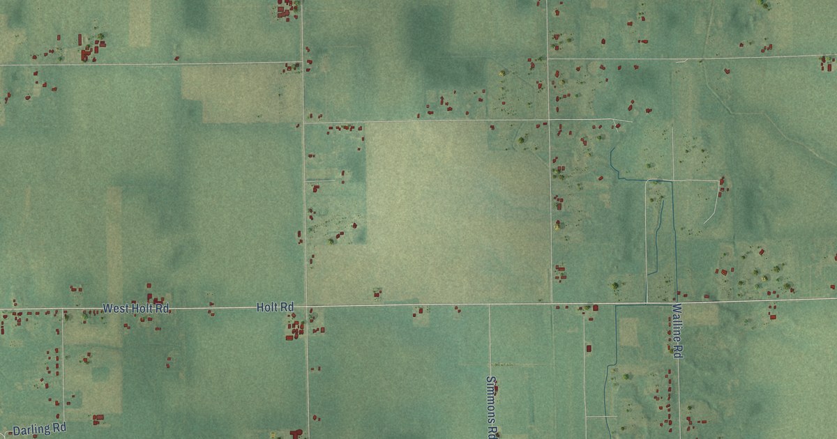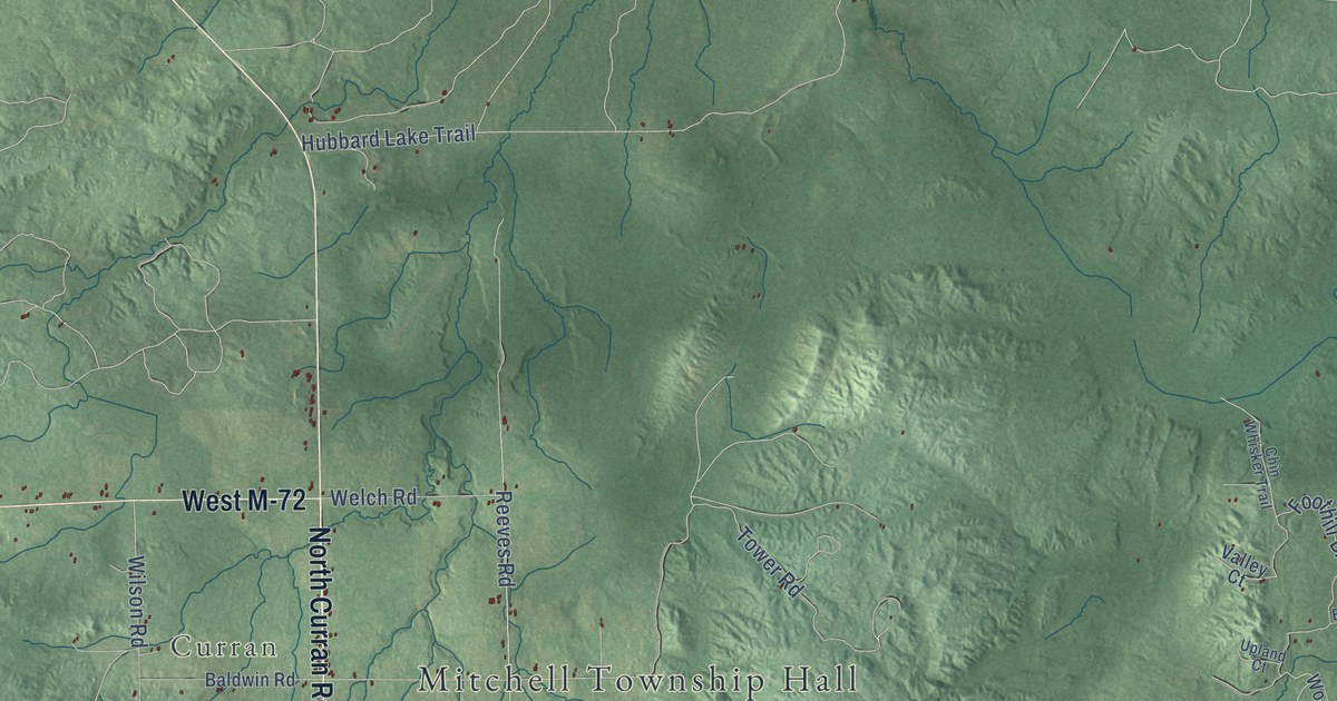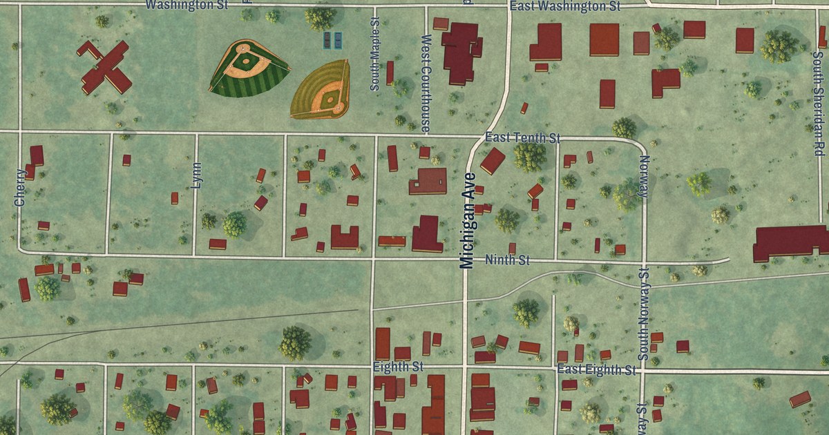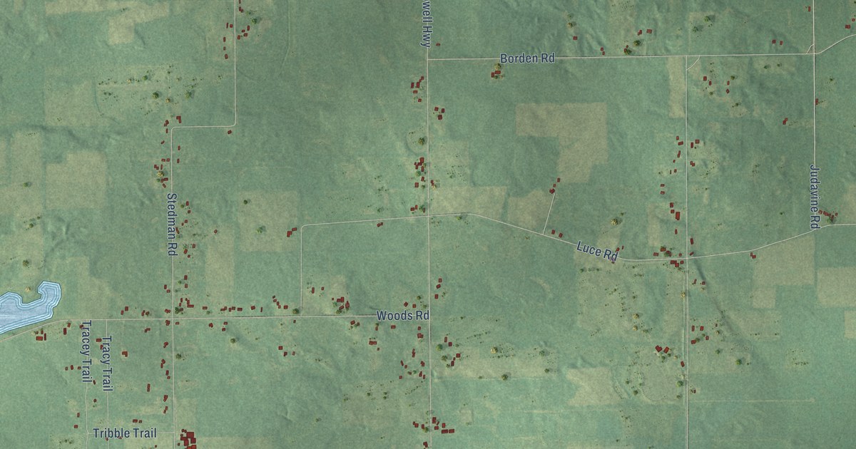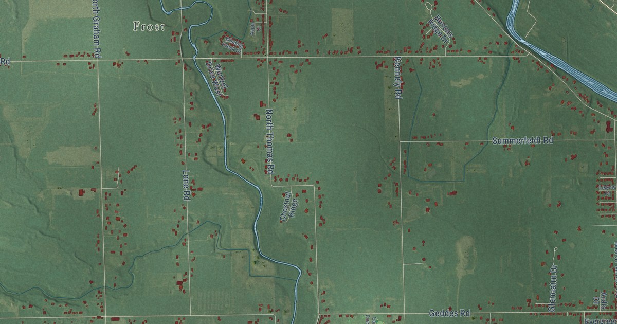
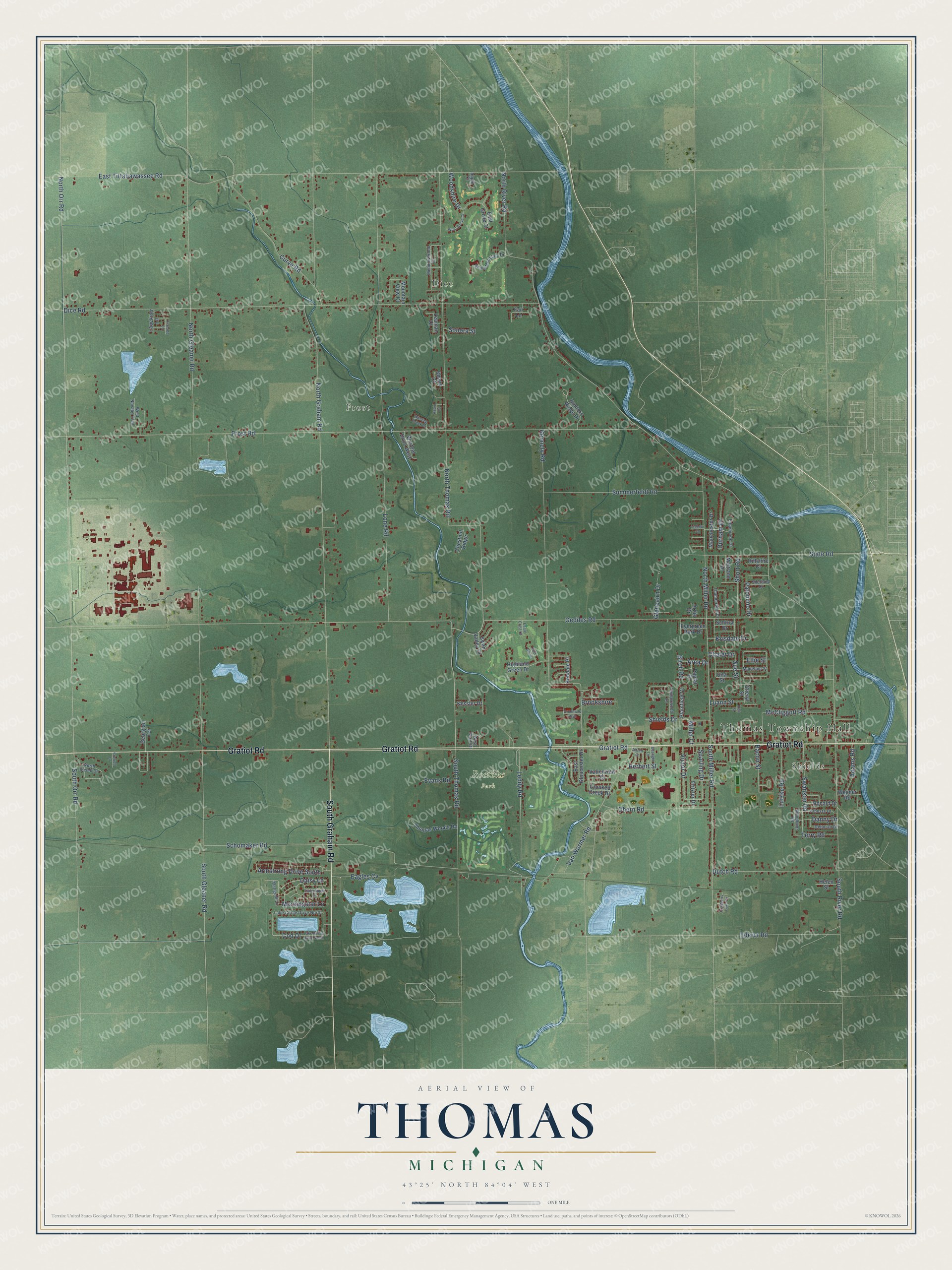
This beautifully detailed map of Thomas, Michigan was created in 2026 using aerial imagery combined with modern topographical, census, street and landmark data. It's a modern aerial view of Thomas in Saginaw County, Michigan, that combines modern data with a vintage aesthetic. The roads feature printed names, and if you look closely you can find your exact house accurately shown in its correct location.
Explore an aerial view of Thomas, Michigan
On this map you'll find Thomas Township Hall, Shields, Dice, Frost, Roethke Park, Gratiot Road, South Graham Road, Daisy Lane, Leddy Road, Sue Street, North Orr Road, Geddes Road, and more. Each red shape is a building, so zoom in on the preview and look for yours.
The Census Bureau counted 11,931 people here in 2020. The map prints the town name in its title panel, with the coordinates below it.
Take a closer look at the Thomas map
Names on this map
These names are printed on this map.
Places: Thomas Township Hall, Shields, Dice, Frost and Roethke Park.
Streets and roads: Gratiot Road, South Graham Road, Daisy Lane, Leddy Road, Sue Street, North Orr Road, Geddes Road, North River Road, North Thomas Road, Frost Road, North Graham Road, Dice Road.
More street names, A to Z
Adams Road, Albosta Drive, Alfred Street, Apple Court, Apple Mountain Drive, Ardis Drive, Area Drive, Armstrong Drive South, Aspin Court, Bacon Street, Birch Road, Brookshire, Chalet Drive, Cheryl Street, Chestnut Ridge, Cod Drive, Cranberry Lake Circle, Crooked Creek Drive, Crowell Drive, Curve Road, Danny Drive, Deborah Drive, Durham Drive, Dutch Road, Eagle Crest Court, Eagles Cv, East Gloucester Drive, East Grove Court, East Tittabawassee Road, Ederer Road, Edgebrook Drive, Ellie Street, Evans Road, Evergreen Park Drive, Fair Lane, Fireside Lane, Fritzler Drive, Gaslight Lane, Georgian Terrace, Glencairn Drive, Golf Brook, Greenway Boulevard, Helen Street, Herbert Street, Highland Green Drive, Hillshire Court, Hunters Ridge Drive, Kendale Place, Kennely Road, Kessler Drive, Krisdale Drive, Ladyslipper Lane, Lake Circle Drive North, Lake Circle Drive South, Lauckner Lane, Leaman Court, Lisa Street, Liskow Court, Lone Road, Luann Street, Lutzke Road, Madeline Street, Maitland Drive, Manchester Drive, Marigold Lane, McCliggott Road, Meadowbrook Drive, Miller Court, Morningstar Lane, Mountain View Court, North Basell Drive, North Gleaner Road, North Miller Road, Ohern Road, Palomino Drive, Plainfield Court, Poplar Drive, Ronald Drive, Schirra Drive, Schomaker Road, Shane Court, Shetland Drive, Shields Drive, Short Road, Sonora Street, South Gleaner Road, South Miller Road, South Orr Road, South River Road, South Thomas Road, Sparling Drive, State Road, Summerfeldt Road, Swanson Road, Swan Valley Drive, Terry Road, Thomas Woods Road, Thunderbird Drive, Timberwood Lane, Una Street, Valleyview Court, Van Wormer Road, Victor Drive, Wegner Road, West Grove Court, West Navaho Trail, West Stark Drive, Winding Creek Drive, Woodbine Road, Woodshire Drive, Wurtzel Drive West.
Created by KNOWOL in 2026. The buildings are small red shapes, the roads carry their printed names, and shaded relief shows the shape of the land. The title panel reads "AERIAL VIEW OF THOMAS, MICHIGAN" with 43°25' NORTH 84°04' WEST.
It suits a den, a classroom or a front hall, and it makes a gift for anyone with Thomas roots. Open the preview and find the block you know. See sizes and frames for the Thomas map.