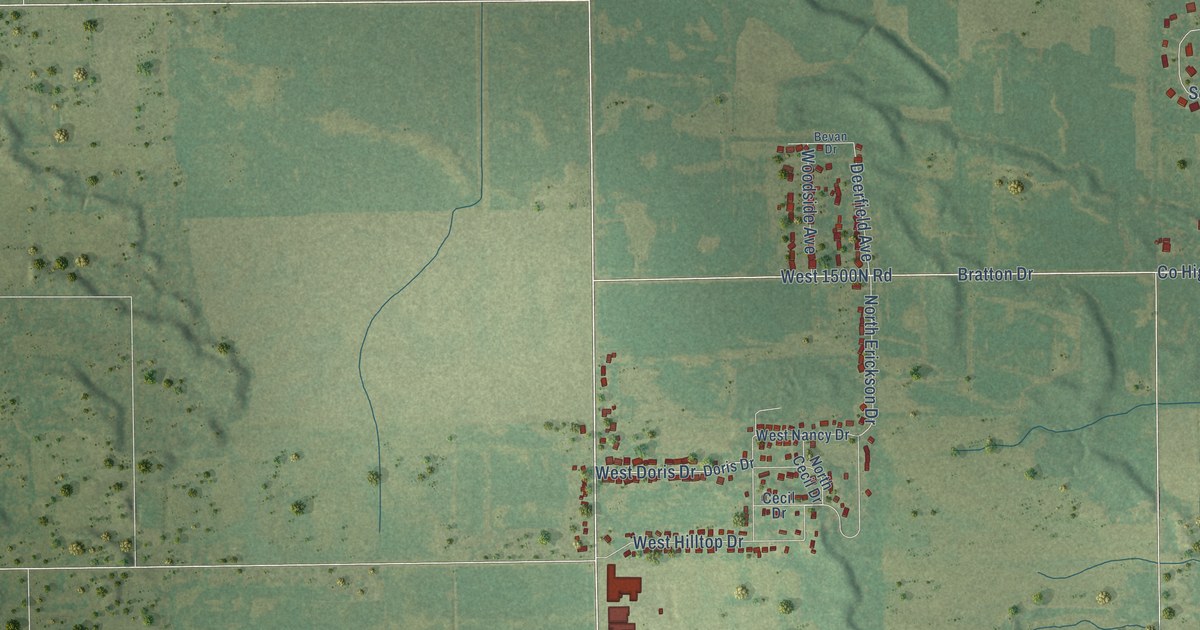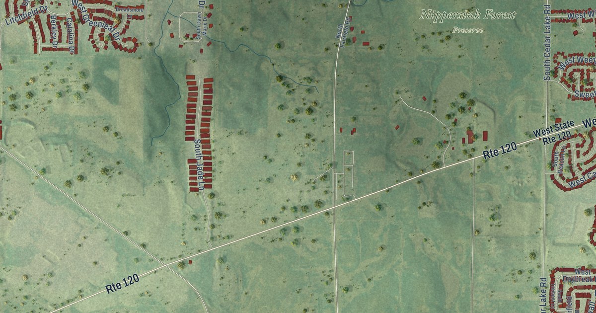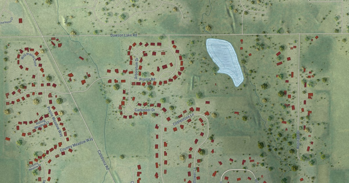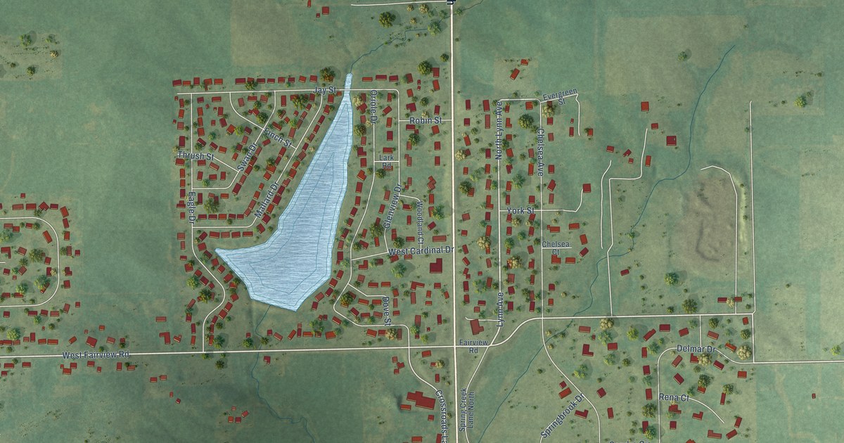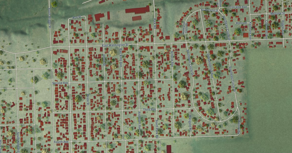
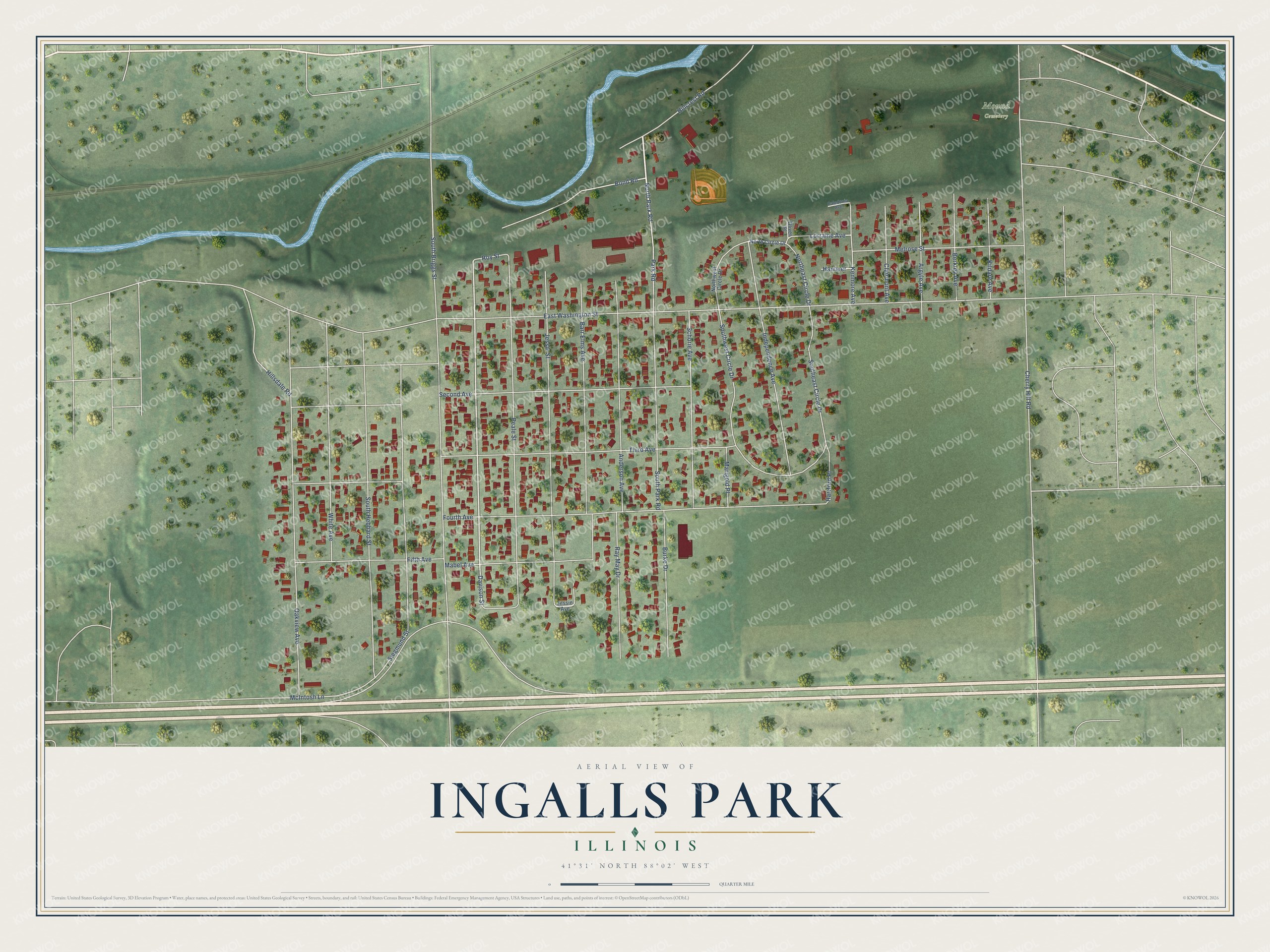
This beautifully detailed map of Ingalls Park, Illinois was created in 2026 using aerial imagery combined with modern topographical, census, street and landmark data. It's a modern aerial view of Ingalls Park in Will County, Illinois, that combines modern data with a vintage aesthetic. The roads feature printed names, and if you look closely you can find your exact house accurately shown in its correct location.
Explore an aerial view of Ingalls Park, Illinois
On this map you'll find Mound Cemetery, North Park Road, Davison Street, Cherry Hill Road, East Washington Street, Fourth Avenue, South Briggs Street, Peale Street, Jessie Street, Hillcrest Road, Third Avenue, Oakview Avenue, and more. Each red shape is a building, so zoom in on the preview and look for yours.
Here is a piece of Ingalls Park history. Lewis Ellsworth Ingalls started out as a farm hand earning ten dollars a month and became the leading real estate dealer of Joliet. His 340-acre farm near the city had a sod mile race track, said to be one of the fastest in America, and many fairs and races were held at what was known as Ingalls' Park. Sixty acres of the farm were divided into lots and given water, a sewer system, cement walks and shade trees. That's from the 1918 Clarke history of Chicago.
Ingalls Park is a community in Will County. The Census Bureau counted 3,460 people here in 2020. The map prints the town name in its title panel, with the coordinates below it.
Take a closer look at the Ingalls Park map
Names on this map
These names are printed on this map.
Places: Mound Cemetery.
Streets and roads: North Park Road, Davison Street, Cherry Hill Road, East Washington Street, Fourth Avenue, South Briggs Street, Peale Street, Jessie Street, Hillcrest Road, Third Avenue, Oakview Avenue, Barr Elms Avenue.
More street names, A to Z
Anderson Avenue, Argyle Avenue, Berkley Avenue, Bond Road, Burke Drive, Caledonia Avenue, Clairmont Avenue, Fifth Avenue, Hanover, Hartford Place, Hillsdale Road, Independence Avenue, Jessie Avenue, Kenmore Avenue, Kildare Avenue, Lorraine Avenue, Mabel Avenue, Marigold Place, McIntosh Lane, Melrose Street, North Circle Drive, Northeast Circle Drive, Northwest Circle Drive, Oliver Place, Park Road, Ray May Drive, Roy Street, Schorie Avenue, Second Avenue, Siegmund Street, Southeast Circle Drive, South Hebbard Street, South Park Road, Southwest Circle Drive, White Avenue.
See it on a wall
The Ingalls Park map as a framed print. Swipe for more.


Created by KNOWOL in 2026. The buildings are small red shapes, the roads carry their printed names, and shaded relief shows the shape of the land. The title panel reads "AERIAL VIEW OF INGALLS PARK, ILLINOIS" with 41°31' NORTH 88°02' WEST.
It suits a den, a classroom or a front hall, and it makes a gift for anyone with Ingalls Park roots. Open the preview and find the block you know. See sizes and frames for the Ingalls Park map.