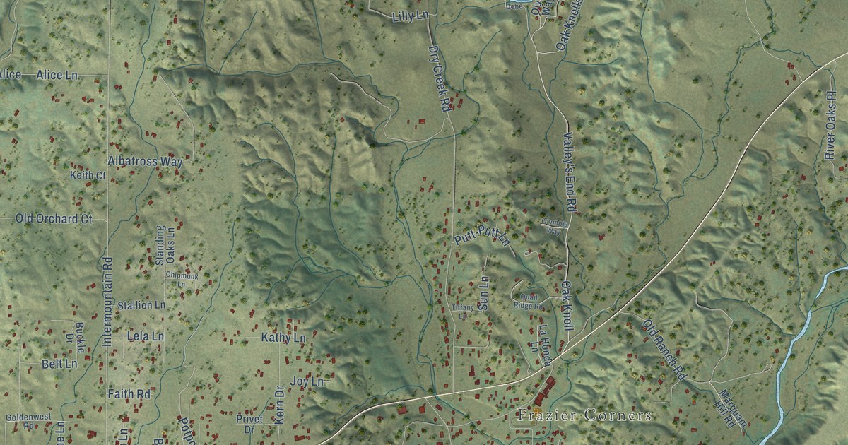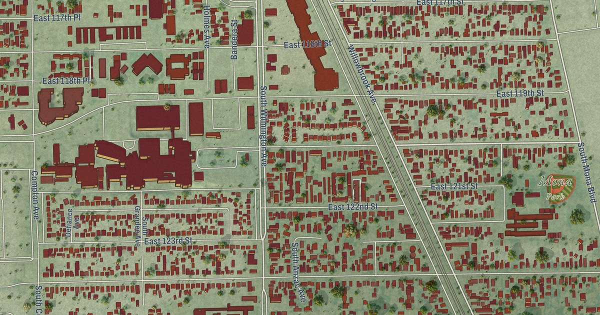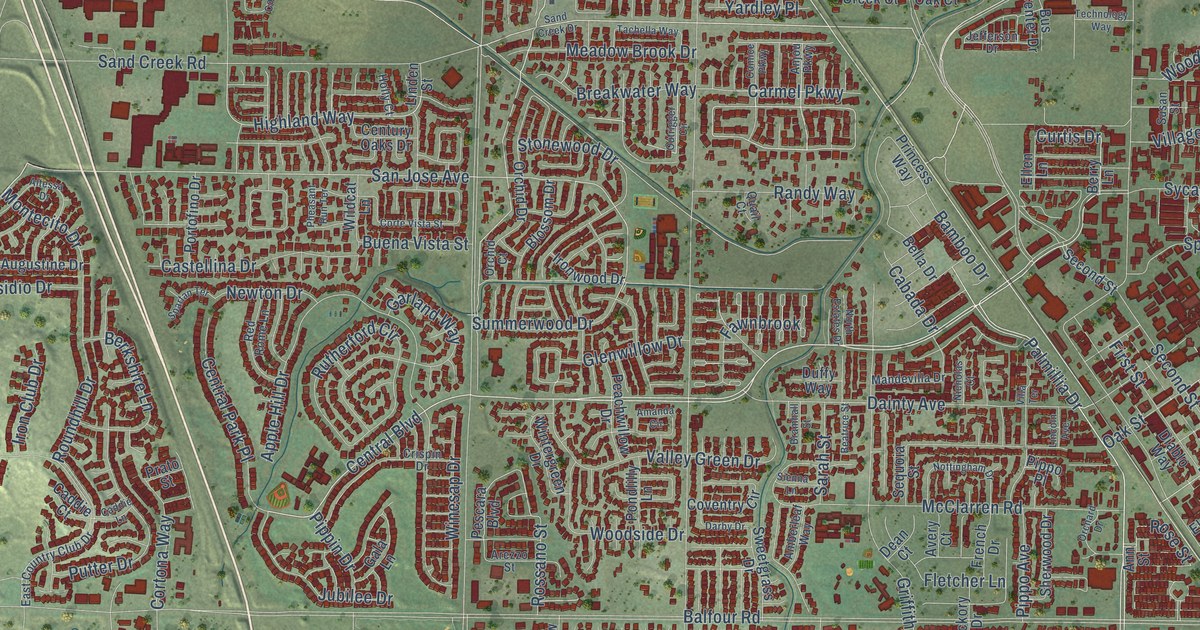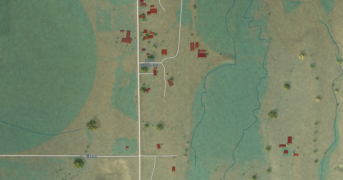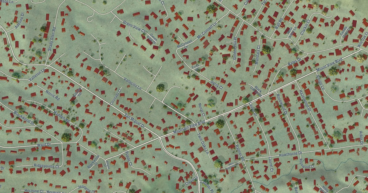
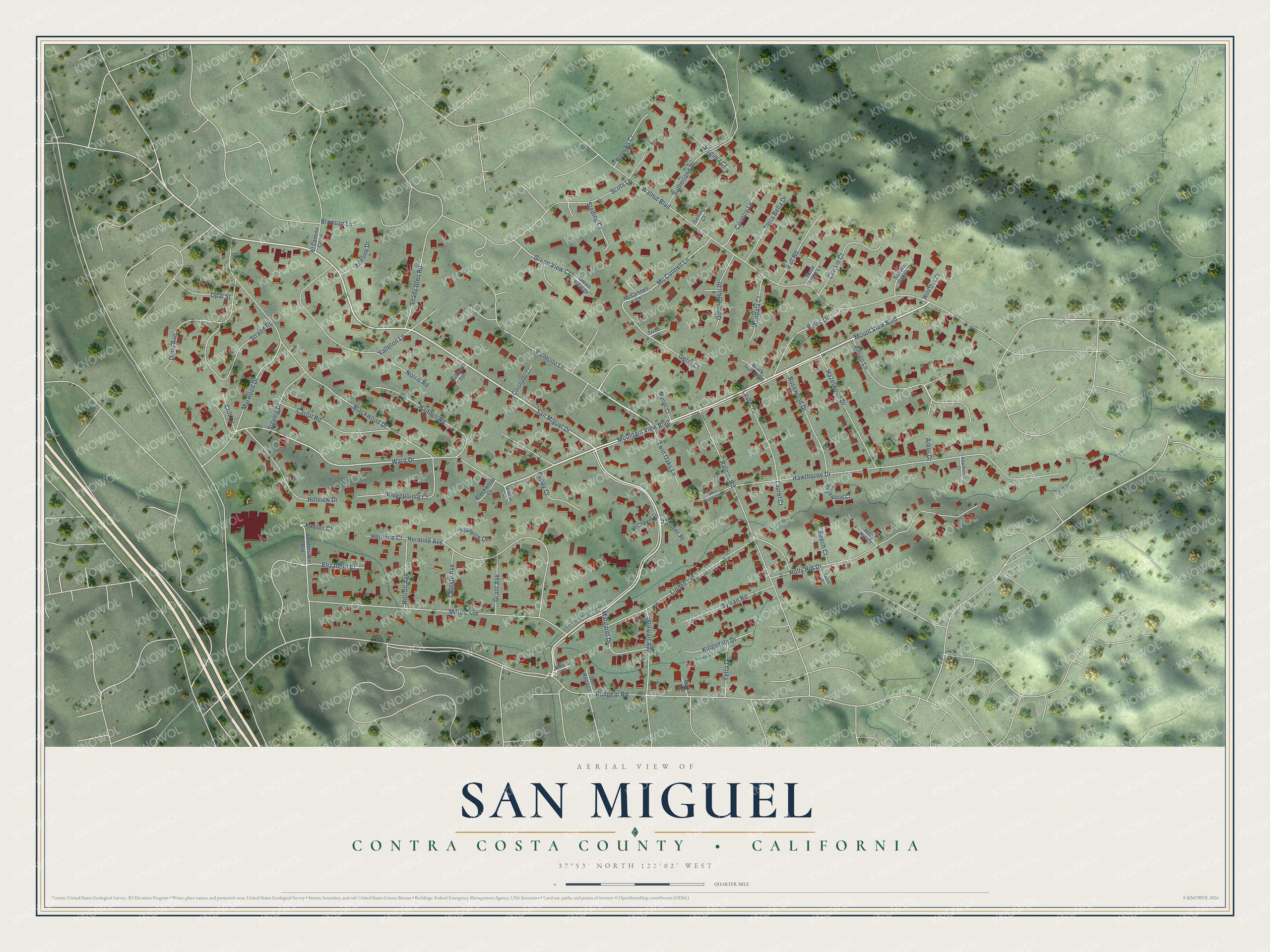
This beautifully detailed map of San Miguel, California was created in 2026 using aerial imagery combined with modern topographical, census, street and landmark data. It's a modern aerial view of San Miguel in Contra Costa County, California, that combines modern data with a vintage aesthetic. The roads feature printed names, and if you look closely you can find your exact house accurately shown in its correct location.
Explore an aerial view of San Miguel, California
On this map you'll find San Miguel Drive, Vallecito Lane, Amigo Lane, Mount View Boulevard, Mountain View Boulevard, Ward Drive, Rudgear Road, Blackwood Drive, Walnut Boulevard, Hawthorne Drive, Norris Road, Milton Avenue, and more. Each red shape is a building, so zoom in on the preview and look for yours.
San Miguel is a community in Contra Costa County. The Census Bureau counted 3,591 people here in 2020. San Miguel sits about 2 miles east of Saranap, 2 miles southwest of North Gate and 3 miles northwest of Alamo. The map prints the town name in its title panel, with the coordinates below it.
Looking for a different San Miguel? California also has San Miguel in San Luis Obispo County.
Take a closer look at the San Miguel map
Names on this map
These names are printed on this map.
Streets and roads: San Miguel Drive, Vallecito Lane, Amigo Lane, Mount View Boulevard, Mountain View Boulevard, Ward Drive, Rudgear Road, Blackwood Drive, Walnut Boulevard, Hawthorne Drive, Norris Road, Milton Avenue.
More street names, A to Z
Adeline Drive, Aloyse Court, Arbor Drive, Bales Drive, Ball Road, Beech Court, Beech Drive, Bellows Court, Black Oak Knoll, Blackwood Court, Bronson Lane, Carrol Road, Celeste Avenue, Cheval Lane, Clarkin Court, Cliff Lane, Coronado Court, Country Lane, Del Rosa Court, Doris Avenue, El Camino Corto, Elizabeth Court, Gerry Court, Golden Hill Place, Grant Avenue, Green View Court, Green View Drive, Hadden Road, Hawthorne Court, Hazelwood Drive, Hermine Avenue, Hermine Court, Herron Avenue, Hillview Drive, Hillview Terrace, Holly Hill Court, Holly Hill Drive, Jeanette Court, Kayser Court, Kingsdale Drive, Koala Court, Latimer Place, Laurel Court, Laurel Drive, Lindell Drive, Mandala Court, Margaret Drive, Mc Connell Lane, McConnell Lane, Mirko Lane, Murwood Drive, Mynah Court, Opal Street, Palmer Road, Poppy Court, Ridgepointe Court, Rose Arbor Lane, Rosewood Court, Rosewood Drive, Saddle Oaks Court, Scots Lane, Selling Court, Shady Glen Road, Solveig Drive, Steding Court, Stewart Avenue, Strand Road, Sutherland Drive, Sylvan Road, Terra Bella Drive, Trina Court, Twin Oaks Lane, Valleton Lane, Vanderslice Avenue, Virginia Court, West Hawthorne Drive, Wild Oak Court, Yetta Drive.
See it on a wall
The San Miguel, Contra Costa County map as a framed print. Swipe for more.


Created by KNOWOL in 2026. The buildings are small red shapes, the roads carry their printed names, and shaded relief shows the shape of the land. The title panel reads "AERIAL VIEW OF SAN MIGUEL, CONTRA COSTA COUNTY • CALIFORNIA" with 37°53' NORTH 122°02' WEST.
Hang it in the hallway, the office or the cabin, or give it to someone who left San Miguel and still calls it home. Open the preview and look for a street you know. See sizes and frames for the San Miguel, Contra Costa County map.