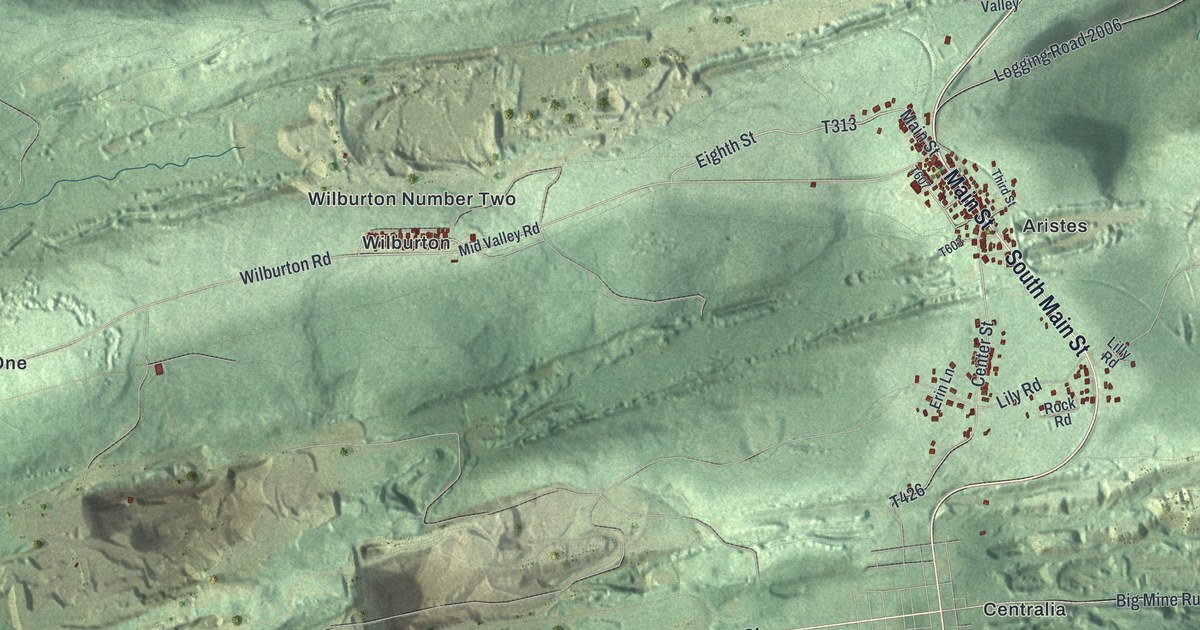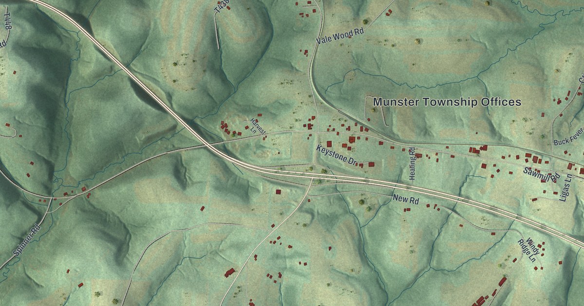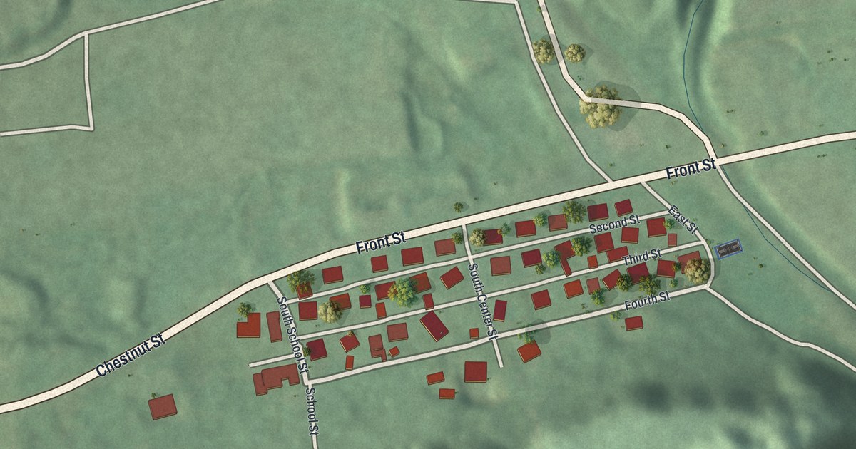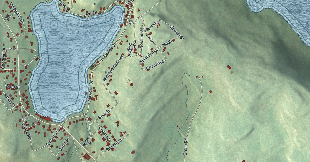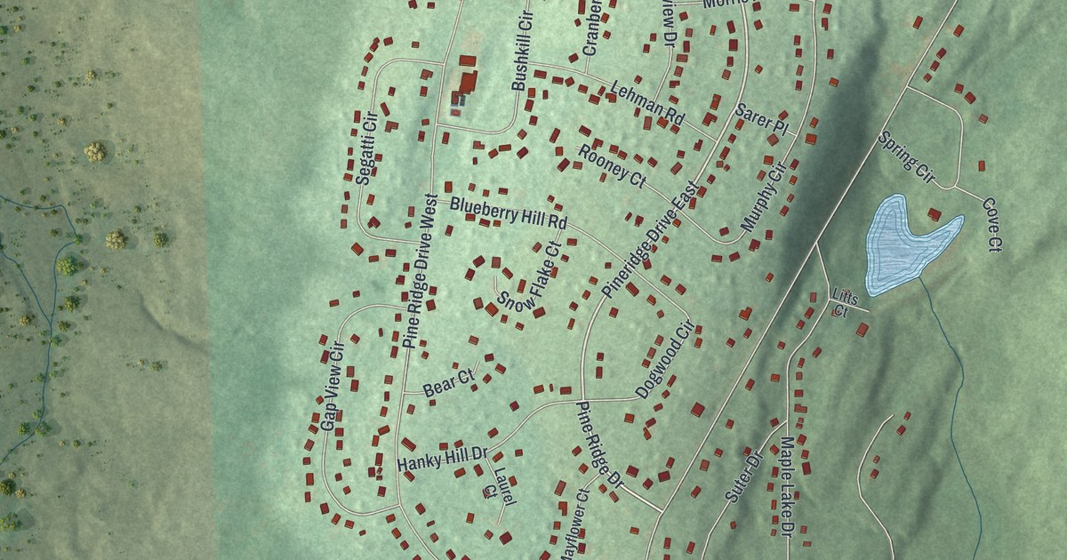
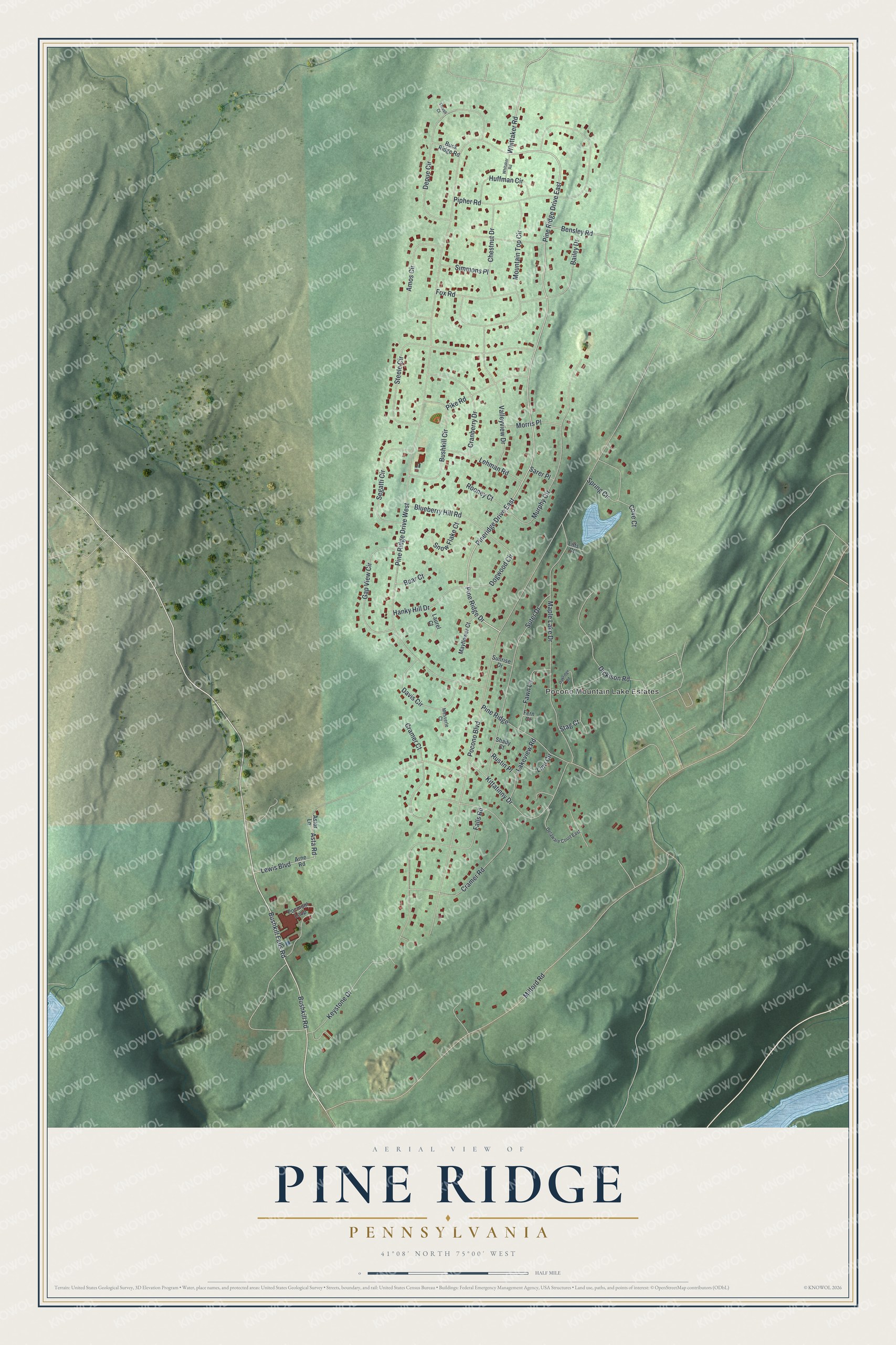
This beautifully detailed map of Pine Ridge, Pennsylvania was created in 2026 using aerial imagery combined with modern topographical, census, street and landmark data. It's a modern aerial view of Pine Ridge in Pike County, Pennsylvania, that combines modern data with a vintage aesthetic. The roads feature printed names, and if you look closely you can find your exact house accurately shown in its correct location.
Explore an aerial view of Pine Ridge, Pennsylvania
On this map you'll find Pocono Mountain Lake Estates, Bushkill Falls Road, Pine Ridge Drive, Whittaker Road, Bensley Road, Asta Road, Pocono Boulevard, Milford Road, Cramer Road, Pipher Road, Bushkill Road, Maple Lake Drive, and more. Each red shape is a building, so zoom in on the preview and look for yours.
Pine Ridge is a community in Pike County. The Census Bureau counted 2,464 people here in 2020. Pine Ridge sits about 3 miles southwest of Pocono Ranch Lands, 4 miles northeast of Saw Creek and 8 miles southwest of Birchwood Lakes. The map prints the town name in its title panel, with the coordinates below it.
Take a closer look at the Pine Ridge map
Names on this map
These names are printed on this map.
Places: Pocono Mountain Lake Estates.
Streets and roads: Pineridge Drive East, Pine Ridge Drive East, Bushkill Falls Road, Pine Ridge Drive, Whittaker Road, Bensley Road, Asta Road, Pine Ridge Drive West, Pocono Boulevard, Milford Road, Cramer Road, Pipher Road.
More street names, A to Z
Amos Circle, Arne Road, Astor Lane, Bailey Drive, Bear Court, Blueberry Hill Road, Buck Ridge Road, Bushkill Circle, Bushkill Road, Chestnut Drive, Cove Court, Cramer Court, Cranberry Drive, Davis Circle, Delaware Court East, Depue Circle, Dickison Road, Dogwood Circle, Falls Road, Fawn Lane, Fern Court, Fox Road, Gap View Circle, Hanky Hill Drive, Huffman Circle, Keystone Drive, Kittatinny Drive, Lakeview Road, Laurel Court, Lehman Road, Lewis Boulevard, Linn Circle, Litts Court, Maple Lake Drive, Mayflower Court, Messerle Court, Morris Place, Mountain Top Circle, Murphy Circle, Oakridge Road, Pike Road, Pine Ridge, Pocmont Loop, Rooney Court, Rustin Place, Sarer Place, Segatti Circle, Shady Court, Simmons Place, Snow Flake Court, Spring Circle, Stag Court, Steele Circle, Sunrise Drive, Suter Drive, Thrush Court, Valleyview Drive, Whitaker Road.
See it on a wall
The Pine Ridge map as a framed print. Swipe for more.


Created by KNOWOL in 2026. The buildings are small red shapes, the roads carry their printed names, and shaded relief shows the shape of the land. The title panel reads "AERIAL VIEW OF PINE RIDGE, PENNSYLVANIA" with 41°08' NORTH 75°00' WEST.
Hang it in the hallway, the office or the cabin, or give it to someone who left Pine Ridge and still calls it home. Open the preview and look for a street you know. See sizes and frames for the Pine Ridge map.