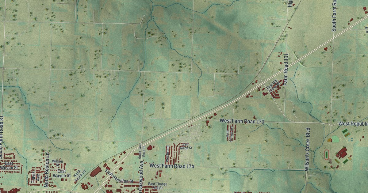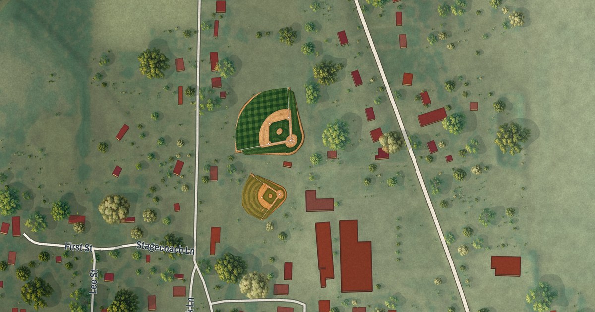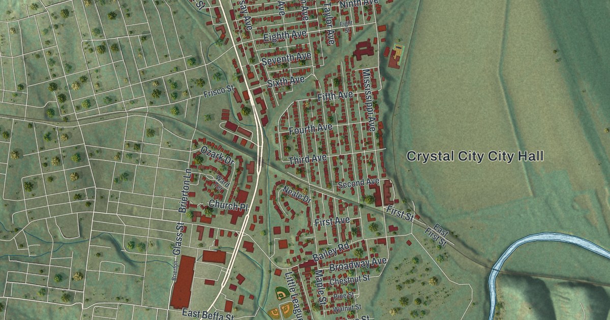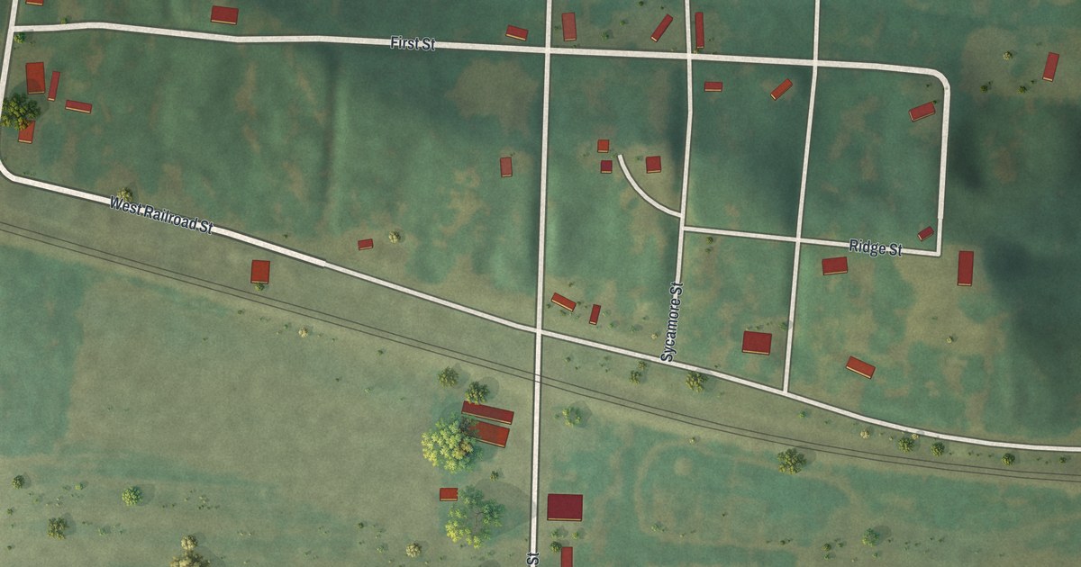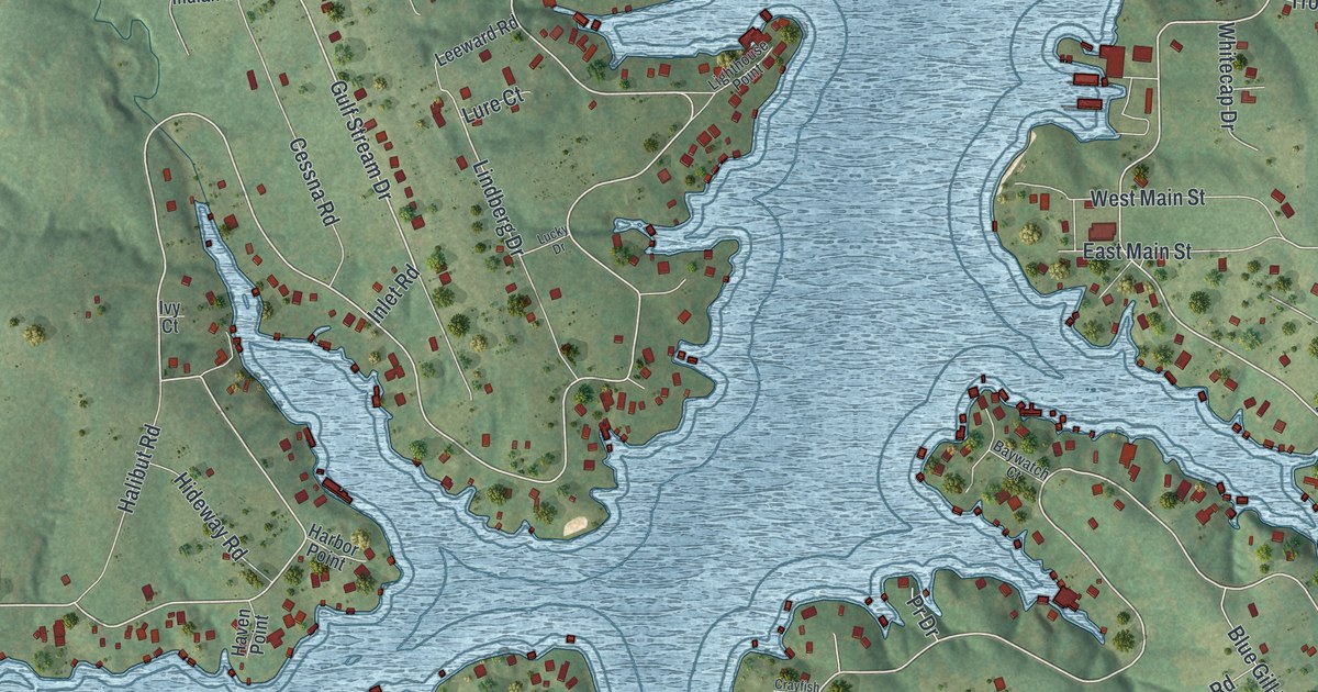
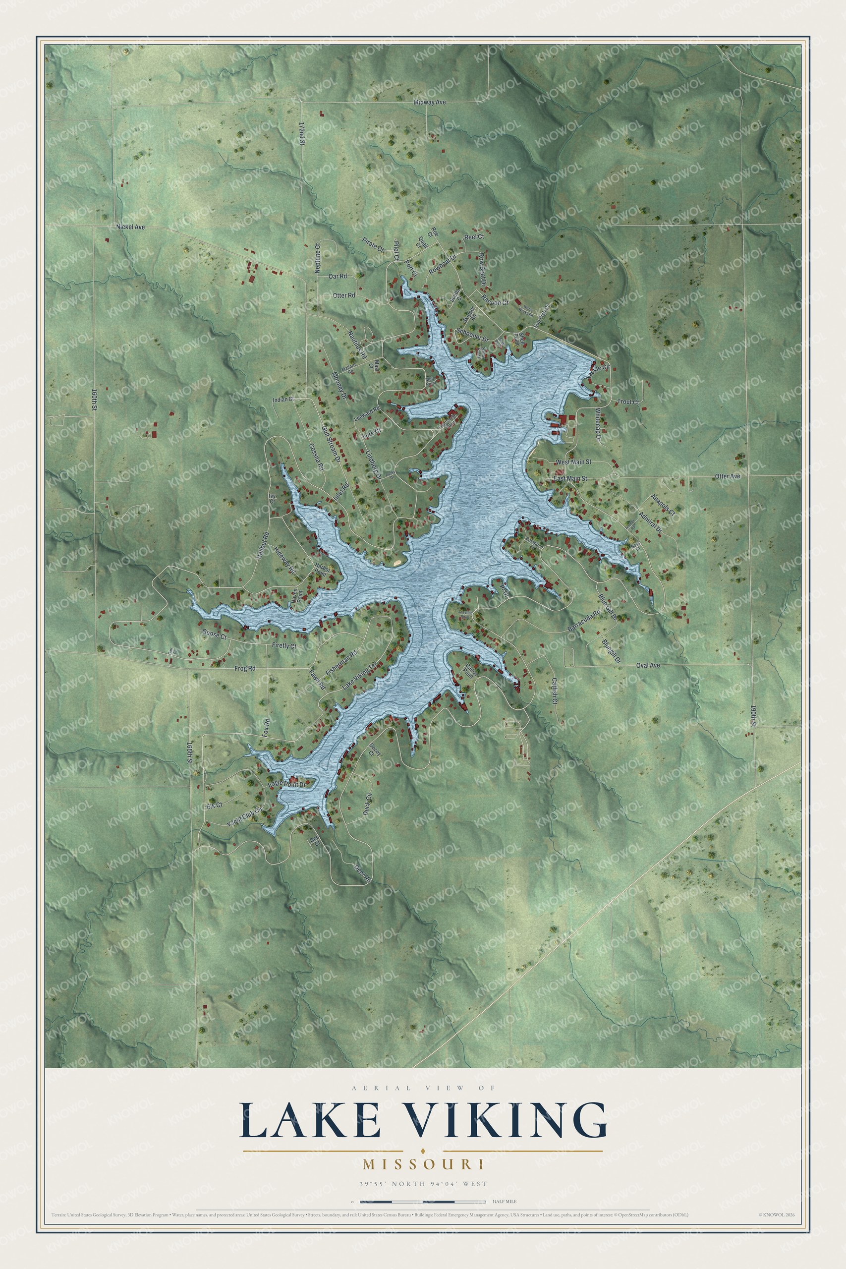
This beautifully detailed map of Lake Viking, Missouri was created in 2026 using aerial imagery combined with modern topographical, census, street and landmark data. It's a modern aerial view of Lake Viking in Daviess County, Missouri, that combines modern data with a vintage aesthetic. The roads feature printed names, and if you look closely you can find your exact house accurately shown in its correct location.
Explore an aerial view of Lake Viking, Missouri
On this map you'll find Lake Viking Terrace, Gulf Stream Drive, Cessna Road, 190th Street, Frog Road, Lindberg Drive, 160th Street, 165th Street, Nickel Avenue, Midway Avenue, Oval Avenue, Yacht Club Circle, and more. Each red shape is a building, so zoom in on the preview and look for yours.
Lake Viking is a community in Daviess County. The Census Bureau counted 486 people here in 2020. Lake Viking sits about 3 miles north of Altamont, 6 miles west of Gallatin and 6 miles northeast of Winston. The map prints the town name in its title panel, with the coordinates below it.
Take a closer look at the Lake Viking map
Names on this map
These names are printed on this map.
Streets and roads: Lake Viking Terrace, Gulf Stream Drive, Cessna Road, 190th Street, Frog Road, Lindberg Drive, 160th Street, 165th Street, Nickel Avenue, Midway Avenue, Oval Avenue, Yacht Club Circle.
More street names, A to Z
172nd Street, Admiral Drive, Anapols Court, Anchor Road, Barracuda Road, Bass Court, Baywatch Court, Bluegill Drive, Blue Gill Drive, Canoe Point, Catfish Court, Crayfish Point, Decoy Court, Deer Rn, Doe Court, Duck Circle, Eagle Point Drive, East Main Street, Elk Court, Fawn Road, Firefly Court, Fisherman Road, Fox Road, Garr Court, Goose Court, Halibut Road, Harbor Point, Haven Point, Hideway Road, Indian Court, Inlet Road, Ivy Court, Leeward Road, Lighthouse Point, Lucky Drive, Lure Court, Main Point, Mallard Road, Mast Court, Mooney Drive, Nautilus Road, Neptune Court, Oar Road, Otter Avenue, Otter Road, Pilot Court, Pirate Court, Port Court, Pr Drive, Quail Court, Racoon Court, Reel Court, Roe Court, Rowboat Drive, Row Boat Drive, Sailor Point, Schooner Drive, Scuba Court, Shad Point, Shell Point, Skipper Road, Sun Fish Court, Tackle Circle, Trout Court, Water Works Road, West Main Street, Whitecap Drive.
See it on a wall
The Lake Viking map as a framed print. Swipe for more.


Created by KNOWOL in 2026. The buildings are small red shapes, the roads carry their printed names, and shaded relief shows the shape of the land. The title panel reads "AERIAL VIEW OF LAKE VIKING, MISSOURI" with 39°55' NORTH 94°04' WEST.
It looks right in a kitchen, an office or a den, and it's a gift for anyone who grew up in Lake Viking or moved away. Open the preview and find your street. See sizes and frames for the Lake Viking map.