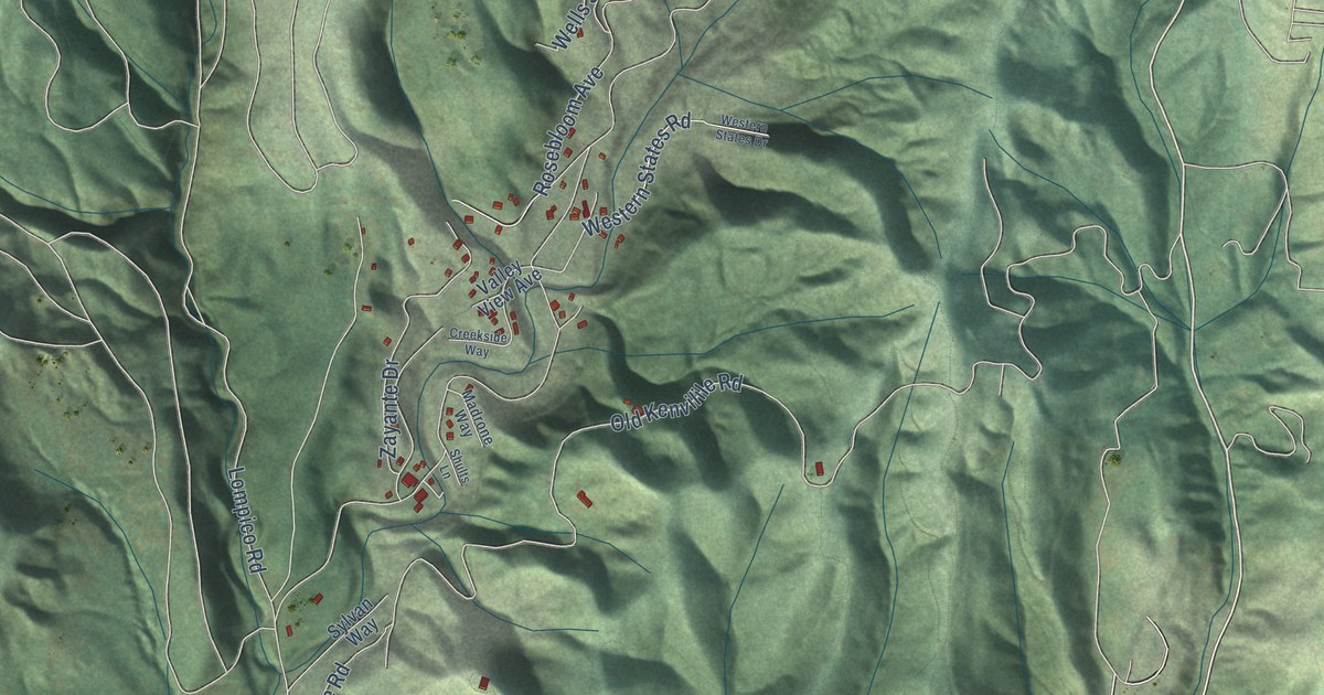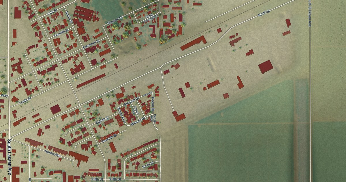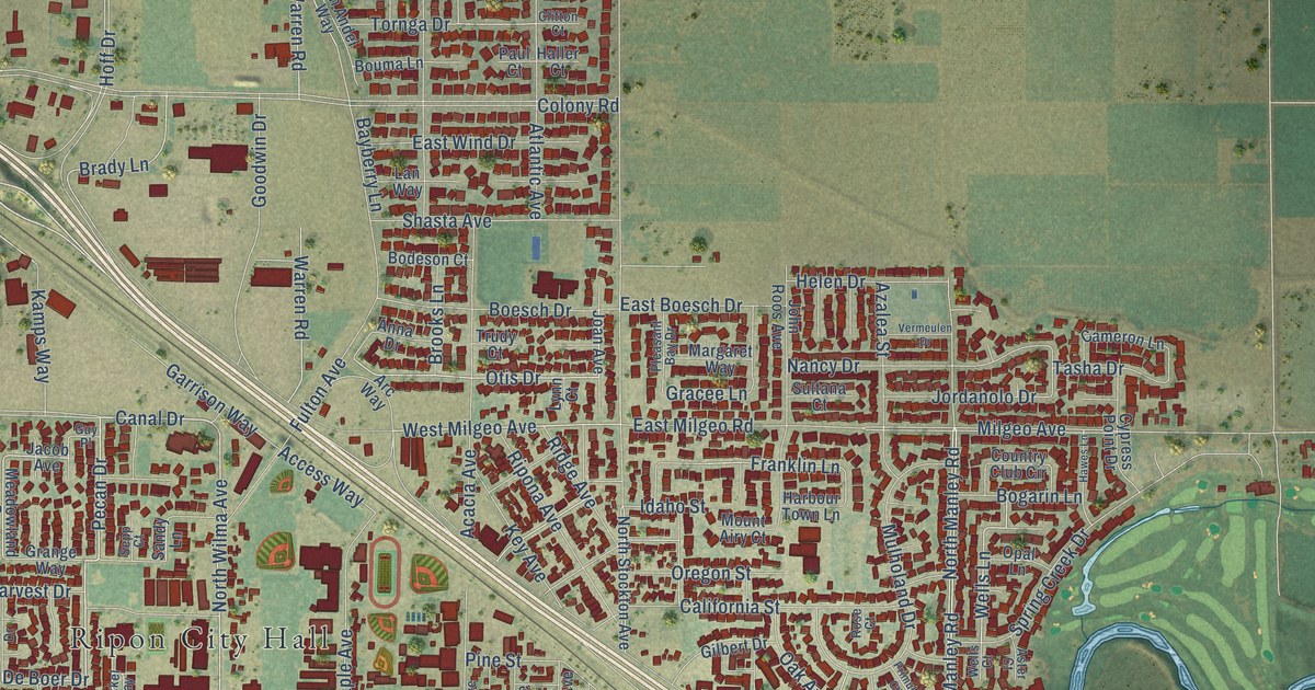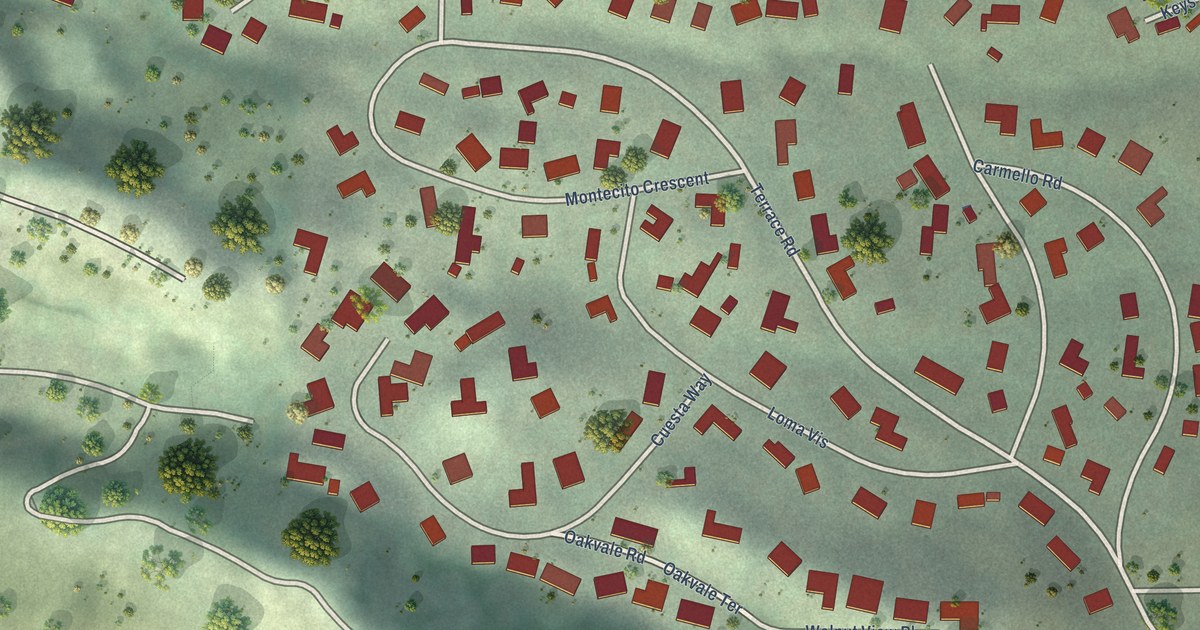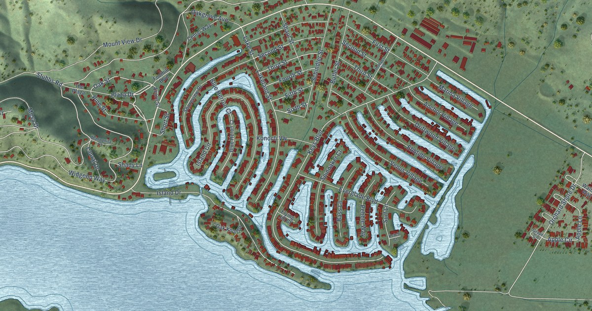
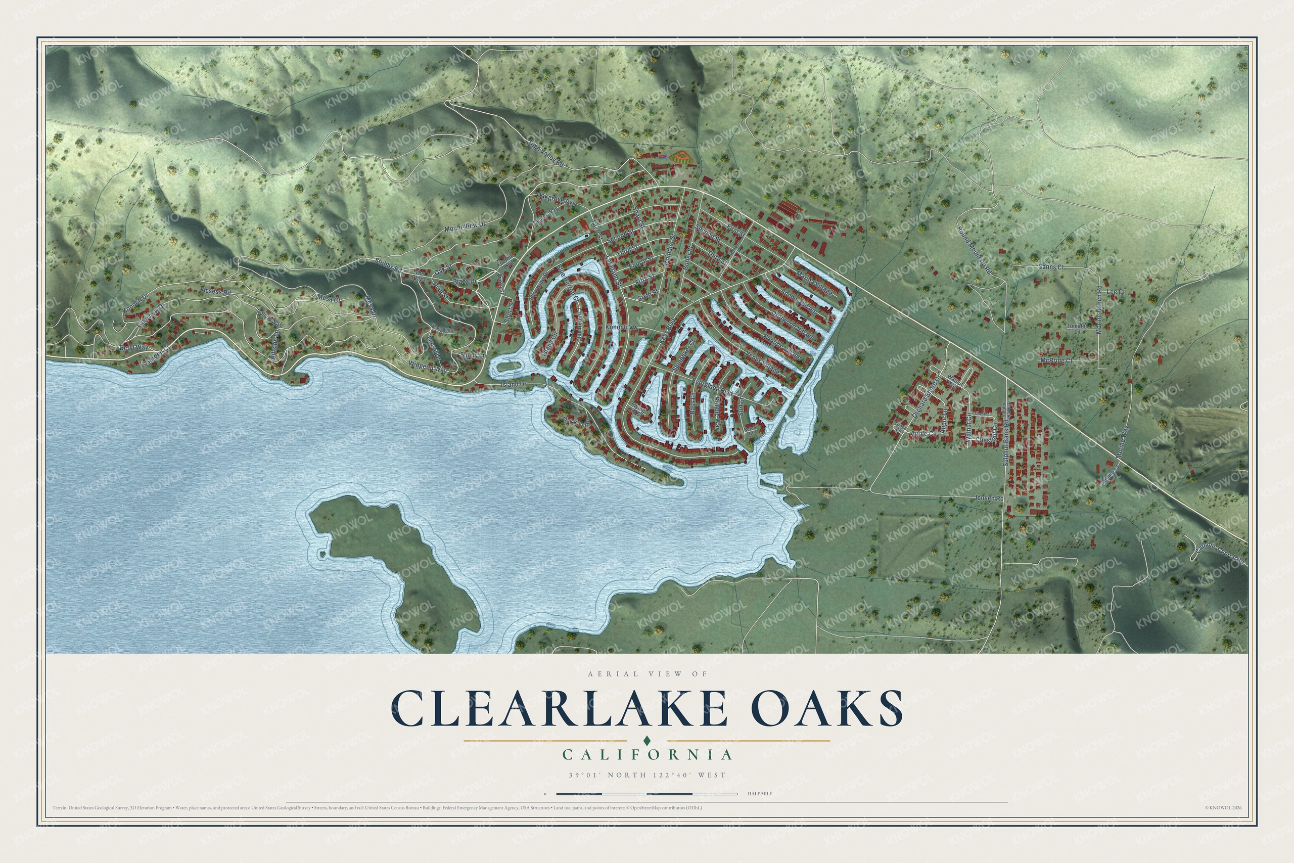
This beautifully detailed map of Clearlake Oaks, California was created in 2026 using aerial imagery combined with modern topographical, census, street and landmark data. It’s a one-of-a-kind view of Clearlake Oaks that combines accurate data with a vintage aesthetic. The map shows every building in its true location, many of the roads carry their names, and the shaded topographic relief shows the shape of the land.
Explore an aerial view of Clearlake Oaks, California
On the map you’ll find Oak Street, Lakeview Drive, Island Drive, Plaza Drive, Morine Ranch Road, Blue Herron Court, Apple Circle, Apple Lane, Widgeon Way, Keys Boulevard, Konocti Drive, Morine Way, and more. Clearlake Oaks sits about 5 miles southwest of Spring Valley, 6 miles northeast of Clearlake Riviera and 7 miles east of Lucerne. If you look closely you can even find your house accurately drawn in its correct location. Zoom in on the preview to look for yours.
Did You Know?
Clearlake Oaks got its post office on June 14, 1926, under the name Stubbs, and the name was changed to Clearlake Oaks on June 1, 1935. Stubbs Island in Clear Lake keeps the name of Charles Stubbs, called Uncle Jack, an English sailor who bought a large estate on the shore of East Lake. That's from the 1969 place-name book by Erwin Gudde.
Take a closer look at the Clearlake Oaks map
Names on this map
These names are printed on this map.
Streets and roads: Oak Street, Lakeview Drive, Island Drive, Plaza Drive, Morine Ranch Road, Blue Herron Court, Apple Circle, Apple Lane, Widgeon Way, Keys Boulevard, Konocti Drive, Morine Way.
More street names, A to Z
Acorn Street, Acsess Road, Anchor Village, Bass Lane, Beryl Way, Blue Heron Court, Butler Street, Catholic Church Road, Center Way, Chestnut Circle, Chestnut Lane, Dohy's Way, Driftwood Village, Ebbtide Village, Everglade Boulevard, Fifth Street, First Street, Flying Jib Court, Foothill Boulevard, Fourth Street, Garden Court, Grape Circle, High Valley Road, Hillside Lane, Hoover Street, Island Circle, Jensen Road, Ketch Court, Konocti Vw, Lakeland Street, Lake Street, Laural Drive, Lee Court, Manzanita Court, Marina Village, McBride Court, Mesa Court, Mesa Drive, Milano Court, Mount View Drive, Oakgrove Avenue, Oak Knoll Drive, Orchard Shore Drive, Pebble Way, Pine Street, Round Mountain Road, Sanns Court, Schindler Street, Second Street, Shady Lane, Shaul Street, Shoreview Drive, Short Street, Sixth Street, Spinnaker Court, Stubbs Road, Sulphur Bank Drive, Sulphur Bank Road, Surf Lane, The Plaza, Third Street, Tomalee Lane, Venus Village, Walnut Circle, Walnut Way.
See it on a wall
The Clearlake Oaks map as a framed print. Swipe for more.


This beautifully detailed map of Clearlake Oaks makes an attractive addition to your office, library, or den, and it can even be used to teach children the geography and history of the area. It also makes a great gift for anyone with Clearlake Oaks roots. When you’re done exploring, click here to get your copy of the Clearlake Oaks map.