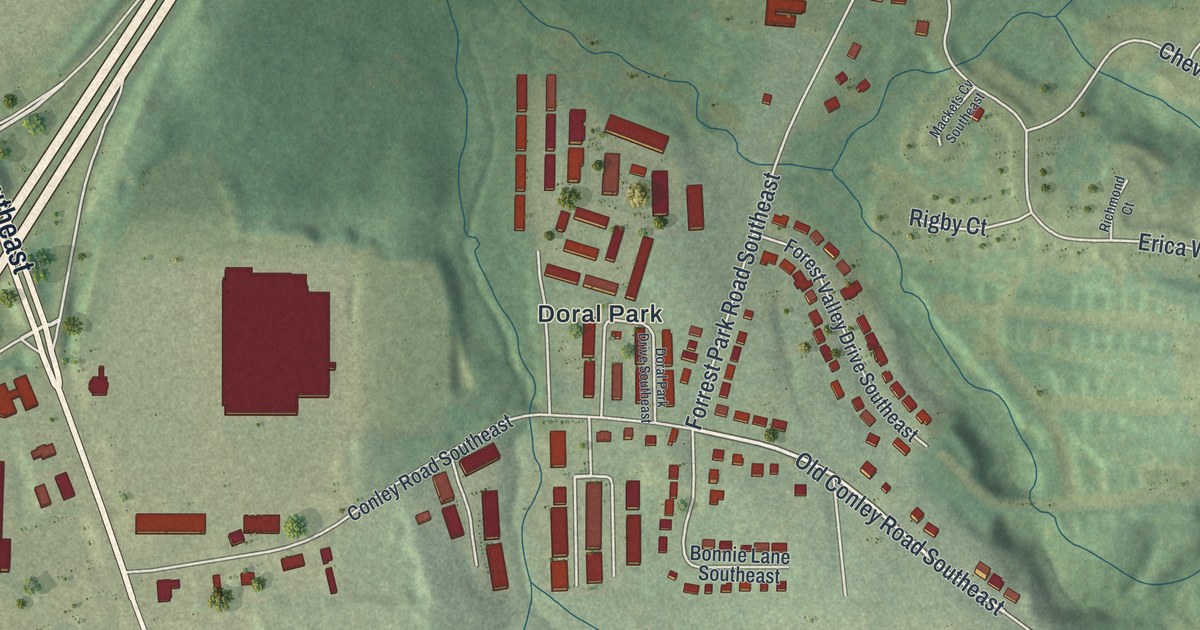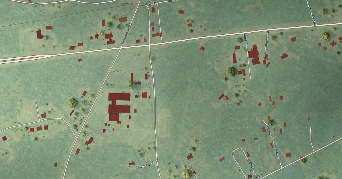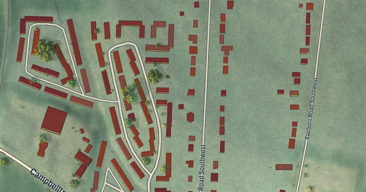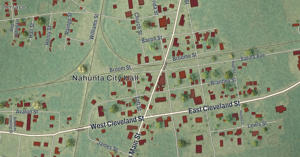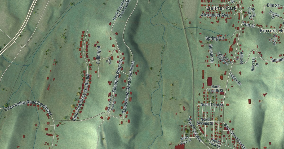
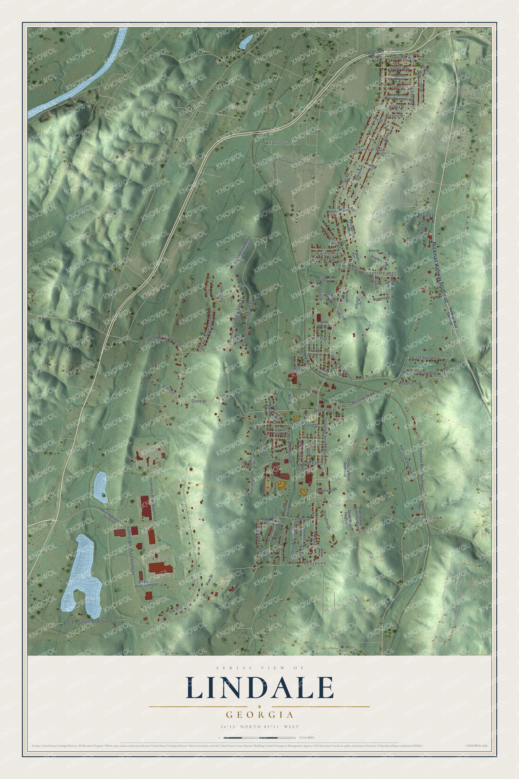
This beautifully detailed map of Lindale, Georgia was created in 2026 using aerial imagery combined with modern topographical, census, street and landmark data. It's a modern aerial view of Lindale in Floyd County, Georgia, that combines modern data with a vintage aesthetic. The roads feature printed names, and if you look closely you can find your exact house accurately shown in its correct location.
Explore an aerial view of Lindale, Georgia
On this map you'll find Wolfe Park, Rosemont Park, Boozeville, Gaither Park, Atlanta Junction, Silver Creek, Forrest Heights, Rockmart Highway Southeast, Park Avenue, Maple Road, Circle Drive, South Fifth Street, and more. Each red shape is a building, so zoom in on the preview and look for yours.
Here is a piece of Lindale history. The Old Brick Mill at Lindale is the only known antebellum brick grist mill found in a study of northwest Georgia's mills. Before there was a town, farmers came there to grind their grain and to visit, and later Lindale's big textile mills grew up around it. The mill became Lindale's meeting place: the town's first American Legion post formed there in 1919, and Sea Scouts turned the upstairs into a mock ship, the Coosa. That's from the National Register of Historic Places.
Lindale is a community in Floyd County. The Census Bureau counted 4,283 people here in 2020.
Take a closer look at the Lindale map
Names on this map
These names are printed on this map.
Places: Wolfe Park, Rosemont Park, Boozeville, Gaither Park, Atlanta Junction, Silver Creek and Forrest Heights.
Streets and roads: Rockmart Highway Southeast, Park Avenue, Maple Road, Circle Drive, South Fifth Street, Eden Valley Road Southeast, Edenfield Ridge Drive, Spr 101 Southeast, Summit Drive, Railroad Street, Mahan Street, Booze Mountain Road Southeast.
More street names, A to Z
Alexander Avenue, Alfred Avenue, Azalea Street, Blackberry Lane Southeast, Brady Court, Cedartown Highway, Cemetery Road, Cemetery Road Southeast, Central Avenue, Cliffbrink Avenue, Club View Drive Southeast, Davis Street, Dewberry Lane Southeast, Donahoo Drive, Doyle Street Southeast, Dragon Drive, Eden Circle, Edenfield Drive Southeast, Edgewood Drive Southeast, Elm Street, Enterprise Drive Southeast, Flannery Street, Flora Avenue, Flora Avenue Southeast, Fullbright, Garden Avenue, Governors Drive Southeast, Grove Avenue Southeast, Hall Road Southeast, Hawthorne Street Southeast, Helen Street, Hillcrest Drive, Hillside Drive, Holly Street Southeast, Hunt Road, Industrial Boulevard Southeast, Jack Street, Juniper Way, Landers Drive, Legion Drive, Linden Street, Lombardy Way, Manco Drive, McCord Drive, Mill Street, Nancy Street, Nelson Street Southeast, North Edenfield Ridge Drive Southeast, North First Street, North Fourth Street, North Pine Street, North Second Street, North Terrace Avenue, North Third Street, Oak Street, Old Lindale Road, Old Rockmart Road Southeast, Pecan Street, Pine Street, Poplar Street, Ravenwood Drive Southeast, Rockmart Road Southeast, Rosemont Drive, Silver Street Southeast, South First Street, South Fourth Avenue, South Second Street, South Terrace Avenue, South Third Avenue, South Third Street, Spring Circle, Spring Village Road Southeast, Spruce Street, Stegall Street, Strawberry Lane, Sunset Drive, Sunset Drive Southeast, Superior Boulevard Southeast, Teat Street, The Trail, Van Tassle Drive Southeast, Walker Heights Road, Wallace Drive, Walnut Avenue, West First Avenue, West First Street, West Mahan Street, West Point Road, White Avenue Southeast, Willow Street, Windy Hill Road Southeast, Wisteria Street, Woodruff Street.
See it on a wall
The Lindale map as a framed print. Swipe for more.


Created by KNOWOL in 2026. The buildings are small red shapes, the roads carry their printed names, and shaded relief shows the shape of the land. The title panel reads "AERIAL VIEW OF LINDALE, GEORGIA" with 34°12' NORTH 85°11' WEST.
It suits a den, a classroom or a front hall, and it makes a gift for anyone with Lindale roots. Open the preview and find the block you know. See sizes and frames for the Lindale map.