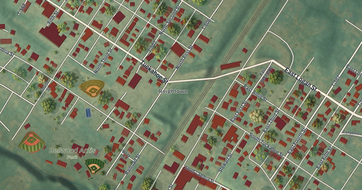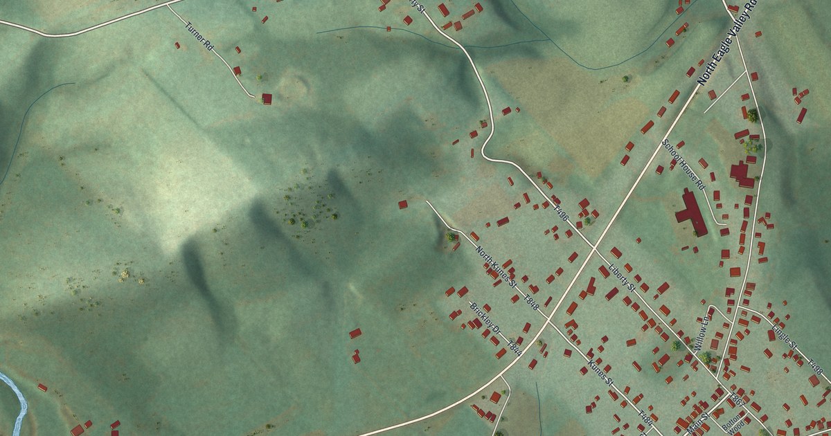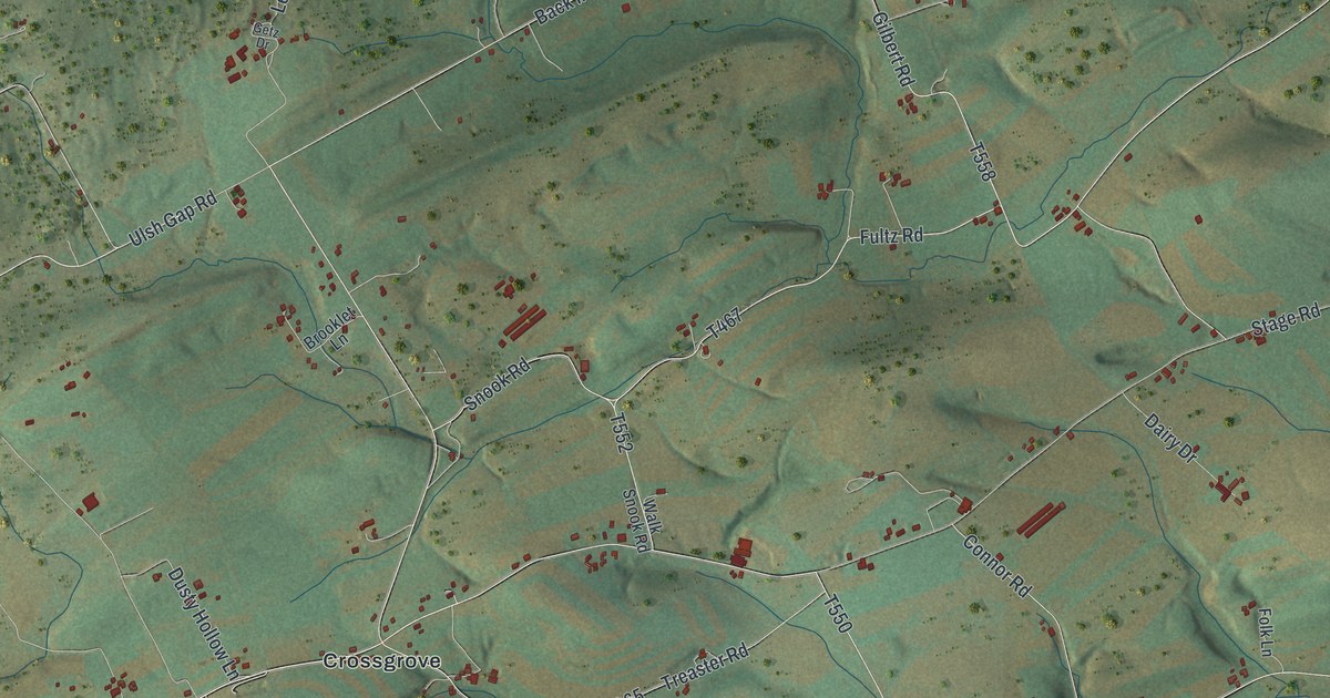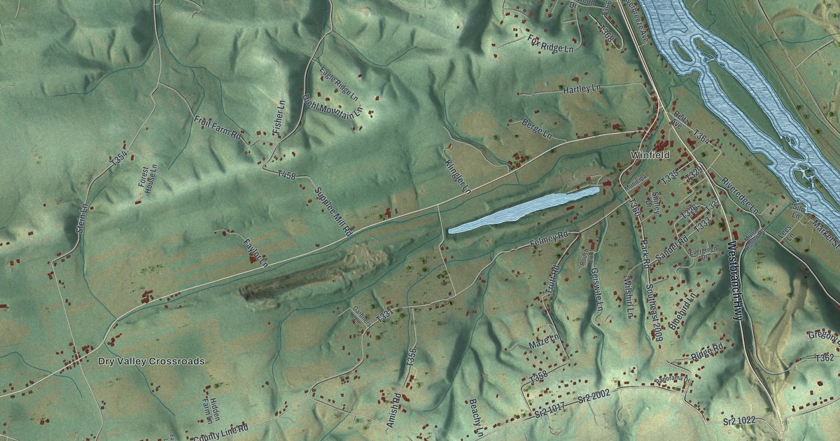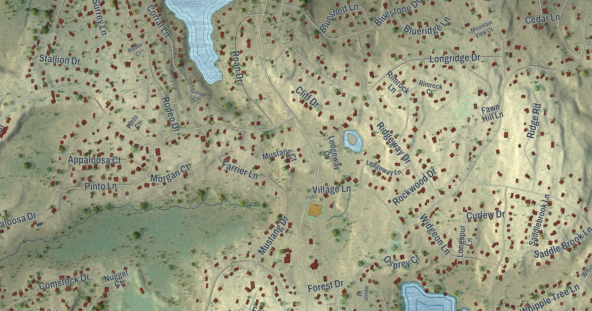
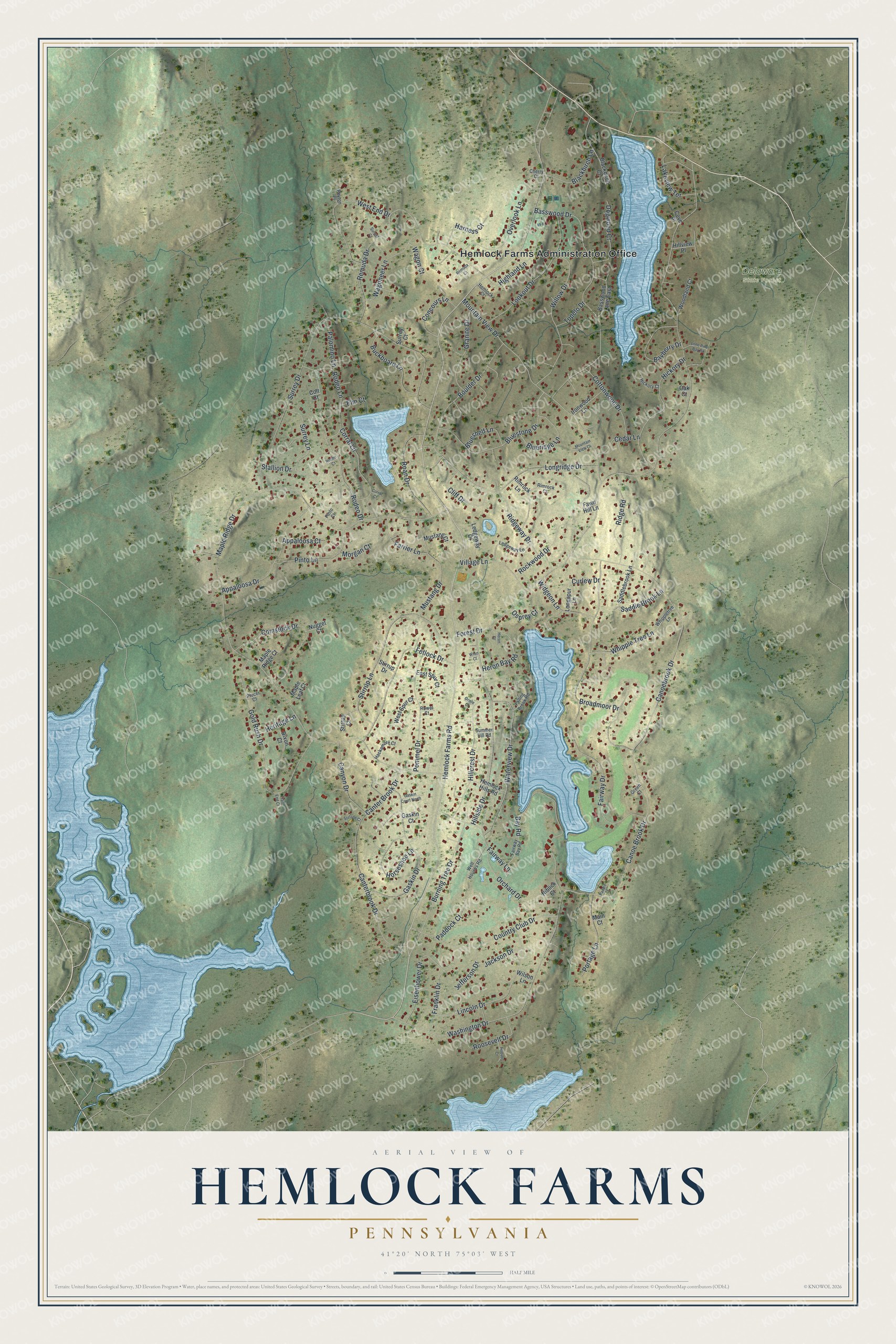
This beautifully detailed map of Hemlock Farms, Pennsylvania was created in 2026 using aerial imagery combined with modern topographical, census, street and landmark data. It's a modern aerial view of Hemlock Farms in Pike County, Pennsylvania, that combines modern data with a vintage aesthetic. The roads feature printed names, and if you look closely you can find your exact house accurately shown in its correct location.
Explore an aerial view of Hemlock Farms, Pennsylvania
On this map you'll find Hemlock Farms Administration Office, Delaware State Forest, Hemlock Farms Road, Canter Brook Drive, Bay Road, Maple Ridge Drive, Forest Drive, Canoe Brook Drive, Surrey Drive, Canoebrook Drive, Country Club Drive, Basswood Drive, and more. Each red shape is a building, so zoom in on the preview and look for yours.
Here is a piece of Hemlock Farms history. Hemlock Farms was a well-known second-home development with a full range of recreation of its own. A study for the U.S. Army Corps of Engineers named it as one development that ran its own volunteer fire and ambulance company. Hudson Transit Lines also ran a bus each way between Hemlock Farms and New York City. That's from the U.S. Army Corps of Engineers.
Hemlock Farms is a community in Pike County. The Census Bureau counted 3,901 people here in 2020.
Take a closer look at the Hemlock Farms map
Names on this map
These names are printed on this map.
Places: Hemlock Farms Administration Office and Delaware State Forest.
Streets and roads: Hemlock Farms Road, Canter Brook Drive, Bay Road, Maple Ridge Drive, Forest Drive, Canoe Brook Drive, Surrey Drive, Canoebrook Drive, Country Club Drive, Basswood Drive, Remuda Drive, Broadmoor Drive.
More street names, A to Z
Appaloosa Court, Appaloosa Drive, Basswood Lane East, Bayberry Drive, Blackbirch Court, Blackbirch Lane, Blueridge Lane, Blueshelf Lane, Bluestone Drive, Boulder Drive, Buckboard Lane, Burning Tree Drive, Canterbrook Drive, Canyon Drive, Cedar Lane, Cherry Court, Cliff Drive, Colt Court, Comstock Drive, Concours Lane, Corral Court, Corral Lane, Cottonwood Drive, Cove Place, Curlew Drive, Dixon Court, Dogwood Court, East Spur Court, Eisenhower Drive, Elm Court, Fairway Bay Road, Fairway Drive, Fairway Lane, Falling Brook Road, Farrier Lane, Fawn Hill Lane, Fetlock Drive, Franklin Drive, Gaskin Court, Gaskin Court North, Gaskin Drive, Gold Rush Drive, Granite Drive, Green Court, Hackamore Court, Harness Court, Hemlock Court, Hemlock Hills Road, Heritage Lane, Heron Bay Road, Heron Court, Hickory Court, Hickory Drive, Highland Lane, Hillcrest Drive, Hillside Drive, Hillview Place, Hoover Court, Horseshoe Lane, Ironwood Lane, Jackson Drive, Jefferson Drive, Lakeview Terrace, Ledgeway Court, Ledgeway Lane, Lincoln Drive, Lone Pine Bay Road, Longridge Drive, Longspur Lane, Lookout Drive, Main Court, Maple Leaf Court, Maple Ridge Court, Morgan Court, Mountain View Court, Mountain View Drive, Mustang Court, Mustang Drive, Niblick Court, Nugget Court, Oak Court, Orchard Drive, Oriole Court, Osprey Court, Overlook Lane, Paddle Court, Paddock Court, Palomino Lane, Peyton Place, Pinto Court, Pinto Lane, Plocer Court, Pommel Drive, Portage Lane, Remuda Court, Ridge Road, Ridgeway Drive, Rimrock Court, Rimrock Lane, Roan Drive, Rockwood Drive, Rodeo Court, Rodeo Drive, Rodeo Lane, Roosevelt Drive, Rowel Court, Saddle Brook Lane, Saddlebrook Lane, Stallion Drive, Stetson Court, Stirrup Court, Stirrup Drive, Stirrup Lane, Summer Hill Road, Sunset Court, Surrey Court, Surrey Lane, Trail End Court, Tupelo Drive, Village Lane, Wagon Court, Wagoneer Lane, Washington Drive, Waterview Drive, Well Houses Road, West End Drive, West Spur Court, Whipple Tree Lane, Whippletree Lane, Widgeon Lane, Willow Drive, Wilson Lane, Woodland Court, Wren Court.
See it on a wall
The Hemlock Farms map as a framed print. Swipe for more.


Created by KNOWOL in 2026. The buildings are small red shapes, the roads carry their printed names, and shaded relief shows the shape of the land. The title panel reads "AERIAL VIEW OF HEMLOCK FARMS, PENNSYLVANIA" with 41°20' NORTH 75°03' WEST.
It suits a den, a classroom or a front hall, and it makes a gift for anyone with Hemlock Farms roots. Open the preview and find the block you know. See sizes and frames for the Hemlock Farms map.