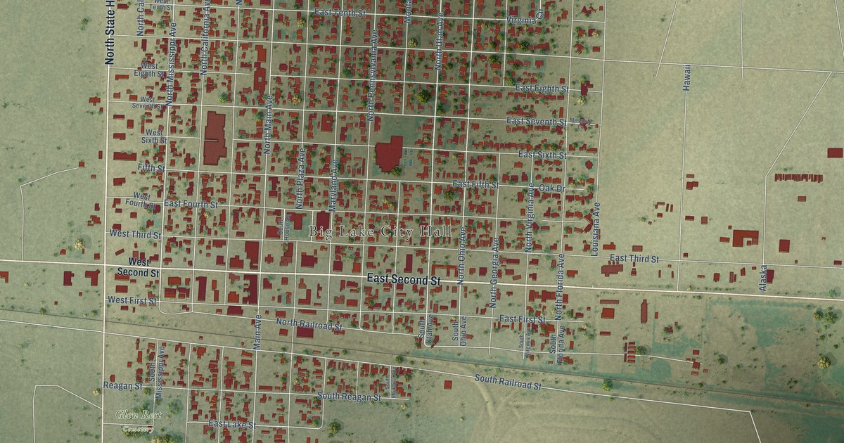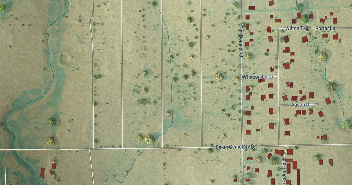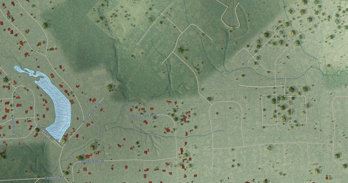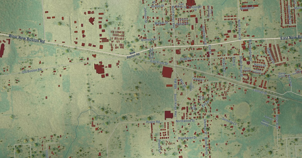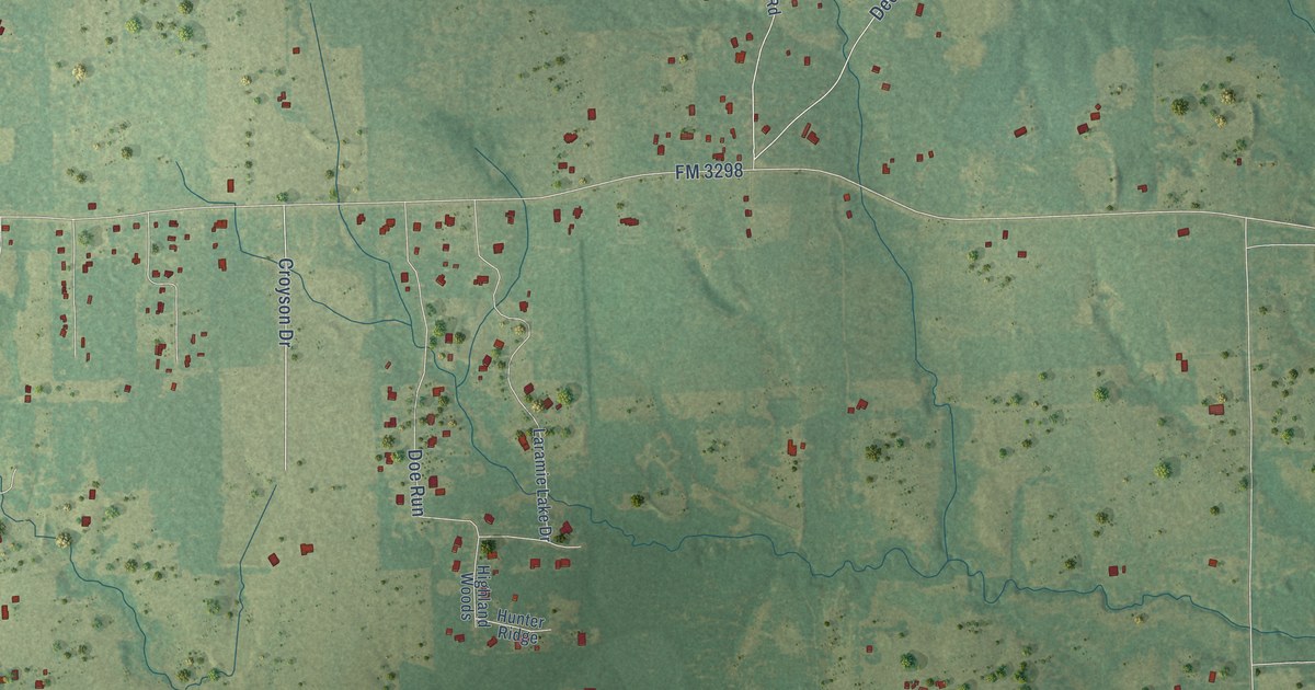
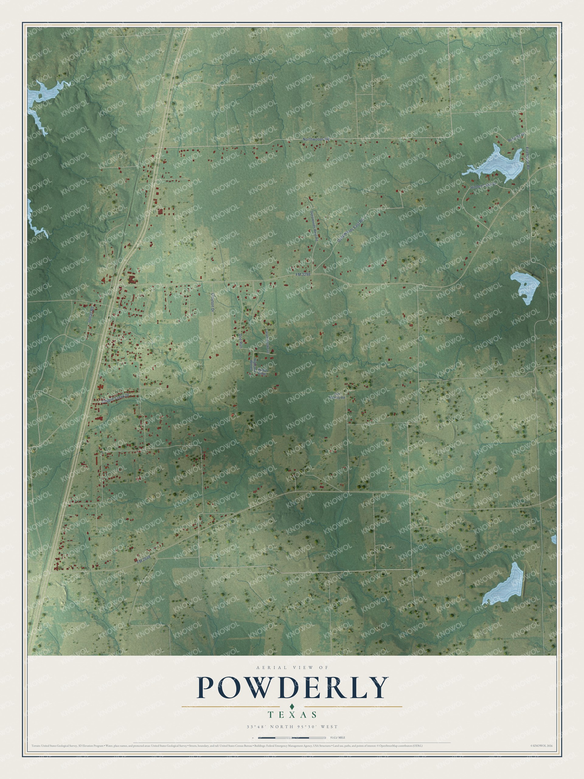
This beautifully detailed map of Powderly, Texas was created in 2026 using aerial imagery combined with modern topographical, census, street and landmark data. It's a modern aerial view of Powderly in Lamar County, Texas, that combines modern data with a vintage aesthetic. The roads feature printed names, and if you look closely you can find your exact house accurately shown in its correct location.
Explore an aerial view of Powderly, Texas
On this map you'll find Northwoods Road, FM 3298, FM 2648, Deepwoods East Road, Hidden Lake Drive, Firehouse Road, Doe Run, Croyson Drive, Cripple Creek Drive, Roberts Drive, Inman Road, Laramie Lake Drive, and more. Each red shape is a building, so zoom in on the preview and look for yours.
Here is a piece of Powderly history. Powderly was settled around the time of the Civil War and was first known as Lenoir. When the St. Louis-San Francisco Railway reached the area in the 1880s, the town was renamed for Terence V. Powderly, a labor leader who later served as commissioner of immigration under President McKinley. A post office opened in 1888, and by 1890 Powderly had a general store, two cotton gins, a gristmill, a sawmill and a blacksmith. That's from the Handbook of Texas.
Powderly is a community in Lamar County. The Census Bureau counted 1,261 people here in 2020.
Take a closer look at the Powderly map
Names on this map
These names are printed on this map.
Streets and roads: Northwoods Road, FM 3298, FM 2648, Deepwoods East Road, Hidden Lake Drive, Firehouse Road, Doe Run, Croyson Drive, Cripple Creek Drive, Roberts Drive, Inman Road, Laramie Lake Drive.
More street names, A to Z
Deepwoods West Road, Highland Woods, Hunter Ridge, Old County Road.
See it on a wall
The Powderly map as a framed print. Swipe for more.


Created by KNOWOL in 2026. The buildings are small red shapes, the roads carry their printed names, and shaded relief shows the shape of the land. The title panel reads "AERIAL VIEW OF POWDERLY, TEXAS" with 33°48' NORTH 95°30' WEST.
It suits a den, a classroom or a front hall, and it makes a gift for anyone with Powderly roots. Open the preview and find the block you know. See sizes and frames for the Powderly map.