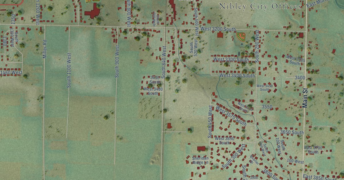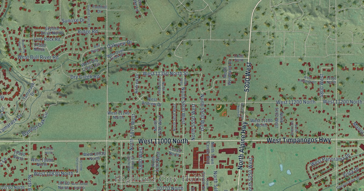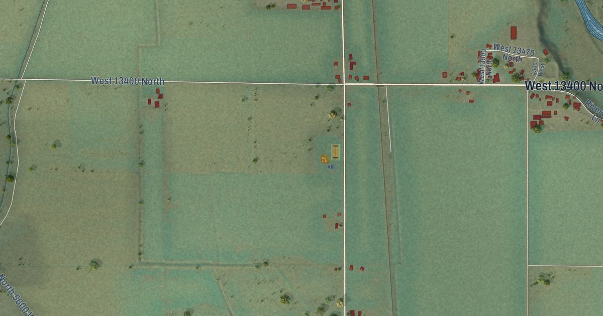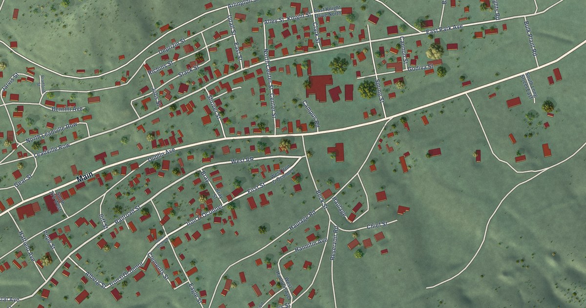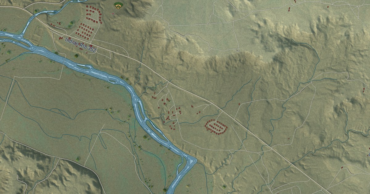
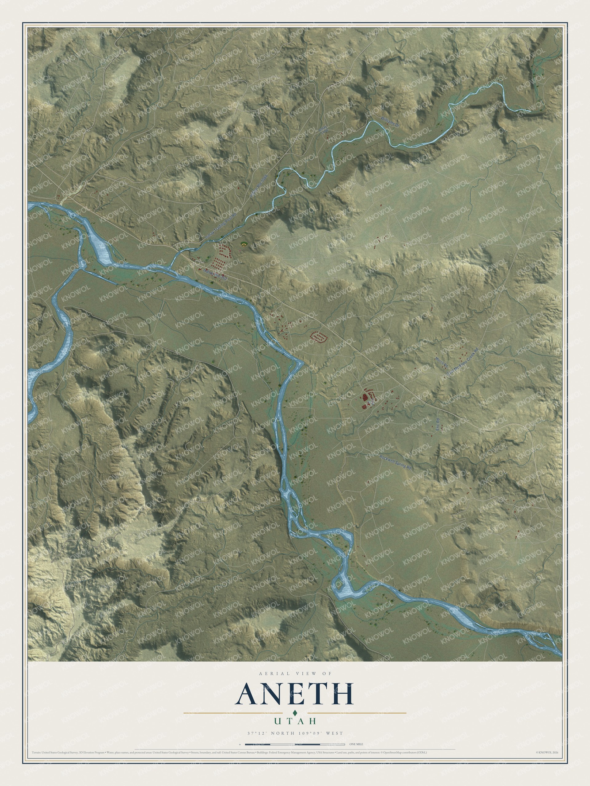
This beautifully detailed map of Aneth, Utah was created in 2026 using aerial imagery combined with modern topographical, census, street and landmark data. It's a modern aerial view of Aneth in San Juan County, Utah, that combines modern data with a vintage aesthetic. The roads feature printed names, and if you look closely you can find your exact house accurately shown in its correct location.
Explore an aerial view of Aneth, Utah
On this map you'll find Rockwell Spring Road, Ismay Trading Post Road, Williams Drive, East Mc Elmo Creek Road, Eric Road, First Street, Morris Road, Ismay Loop, and more. Each red shape is a building, so zoom in on the preview and look for yours.
Aneth has a story worth telling. The Utah Division of State History puts it this way: "On 30 March 1978, Navajos from the Aneth-Montezuma Creek area physically took over the main Texaco pump station in Aneth and eventually stopped all production throughout the entire region." They listed thirteen demands, among them more sensitive treatment of Navajos living in the oil fields. The oil companies agreed to most of them, and the occupation ended after almost three weeks.
Aneth is a community in San Juan County. The Census Bureau counted 427 people here in 2020.
Take a closer look at the Aneth map
Names on this map
These names are printed on this map.
Streets and roads: Rockwell Spring Road, Indian Route 5066, Ismay Trading Post Road, Williams Drive, East Mc Elmo Creek Road, Indian Route 352, Eric Road, First Street, Morris Road and Ismay Loop.
See it on a wall
The Aneth map as a framed print. Swipe for more.


Created by KNOWOL in 2026. The buildings are small red shapes, the roads carry their printed names, and shaded relief shows the shape of the land. The title panel reads "AERIAL VIEW OF ANETH, UTAH" with 37°12' NORTH 109°09' WEST.
It looks right in a kitchen, an office or a den, and it's a gift for anyone who grew up in Aneth or moved away. Open the preview and find your street. See sizes and frames for the Aneth map.