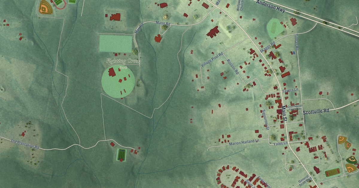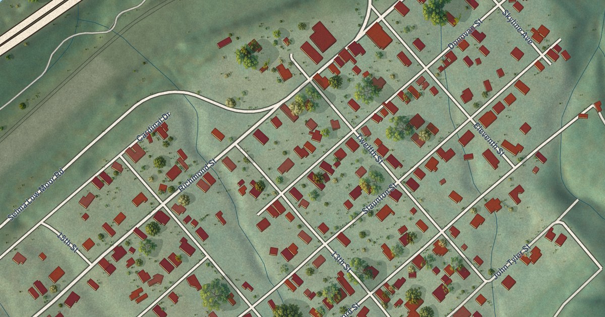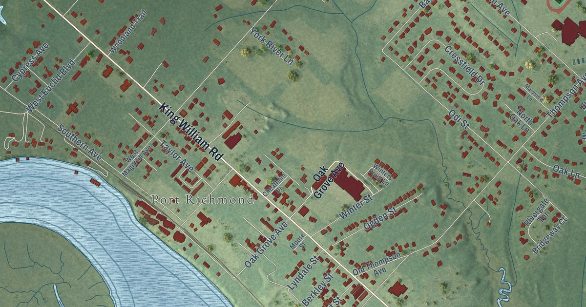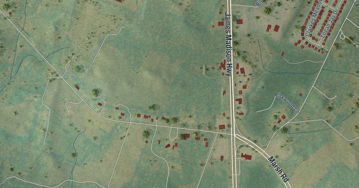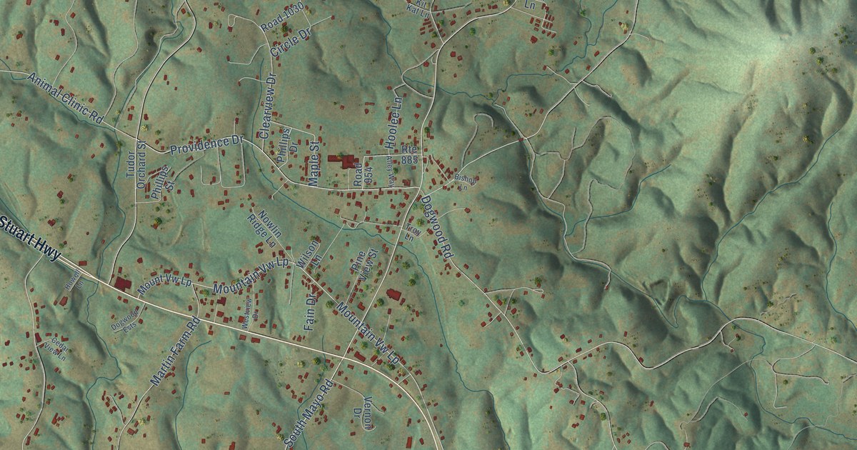
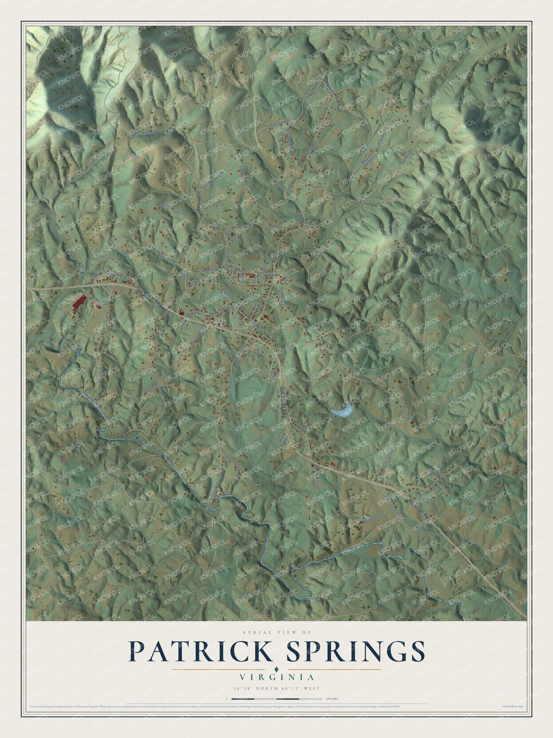
This beautifully detailed map of Patrick Springs, Virginia was created in 2026 using aerial imagery combined with modern topographical, census, street and landmark data. It's a modern aerial view of Patrick Springs in Patrick County, Virginia, that combines modern data with a vintage aesthetic. The roads feature printed names, and if you look closely you can find your exact house accurately shown in its correct location.
Explore an aerial view of Patrick Springs, Virginia
On this map you'll find Jeb Stuart Highway, South Mayo Drive, Providence Drive, First Southern Drive, South Mayo Church Road, New Hope Church Road, Taylor View Drive, Taylor View Road, South Mayo Road, Tudor Orchard Road, Mountain Vw Lp, Dogwood Road, and more. Each red shape is a building, so zoom in on the preview and look for yours.
Here is a piece of Patrick Springs history. The community's first post office opened in 1857 as Spabrook Station, near the springs, and two years later took the name Patrick Springs. It was later renamed Shuff, out of respect for the beloved Methodist minister Jacob Shough, and in 1925 it became Patrick Springs again. Part of the reason was a business visitor riding the Dick and Willie train, who waited to hear the conductor call out Shuff. The conductor called all out for Patrick Springs instead, so the man found himself in Stuart and had to take the next train back. That's from the Enterprise newspaper of Stuart.
Patrick Springs is a community in Patrick County. The Census Bureau counted 1,813 people here in 2020.
Take a closer look at the Patrick Springs map
Names on this map
These names are printed on this map.
Streets and roads: Jeb Stuart Highway, South Mayo Drive, Providence Drive, First Southern Drive, South Mayo Church Road, New Hope Church Road, Taylor View Drive, Taylor View Road, South Mayo Road, Tudor Orchard Road, Mountain Vw Lp, Dogwood Road.
More street names, A to Z
Abram Penn Highway, Alley Way, American Legion Road, Animal Clinic Road, Ayers Orchard Road, Bill Doss Road, Bishop Lane, Boaz Pond Lane, Briarwood Lane, Brook Loop, Cedar View Lane, Circle Drive, Clearview Drive, Corporate Pk, Cut Off Lane, Dillon Lane, Doctor Kay Lane, Dogwood Ests, Emmitt Williams Lane, Fain Drive, Green Acres Lane, Hilltop View Lane, Hoolee Lane, Howell Lane, Jim Lane, Kcm Lane, Kit Kat Lane, Lucky Lane, Maple Street, Martin Farm Road, Massey Road, Mountain Valley Drive, Mount Valley Road, Mount Vw Lp, Nowlin Ridge Lane, Old Mill Road, Old Turnpike Drive, Open Meadow Road, Phillips Drive, Phillips Street, Pine Knoll Farms Loop, Pine View Street, Poplar Drive, Powell Circle, Road 954, Road 1030, Route 885, Santa Claus Lane, Scenic Drive, Shelton Farm Drive, South Fork Lane, South Fork Loop, Spring Road, Stanburn Lane, Susan Circle, Taylor Road, Taylorview Drive, Troy Lane, Tudor Orchard Street, Twin Ford Loop, Vernon Drive, Vfw Road, Westview Drive, Wilmoth Road, Wilson Lane, Wingfield Lane.
See it on a wall
The Patrick Springs map as a framed print. Swipe for more.


Created by KNOWOL in 2026. The buildings are small red shapes, the roads carry their printed names, and shaded relief shows the shape of the land. The title panel reads "AERIAL VIEW OF PATRICK SPRINGS, VIRGINIA" with 36°38' NORTH 80°12' WEST.
It suits a den, a classroom or a front hall, and it makes a gift for anyone with Patrick Springs roots. Open the preview and find the block you know. See sizes and frames for the Patrick Springs map.