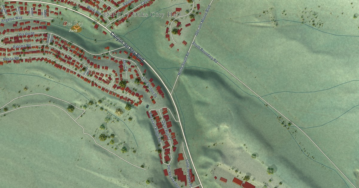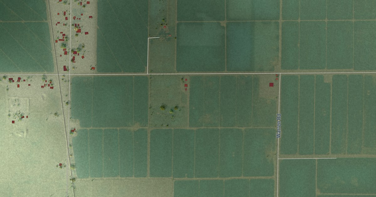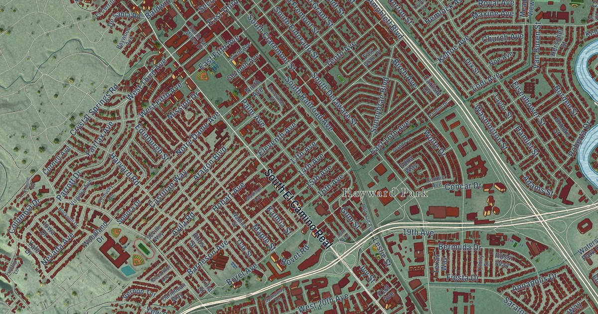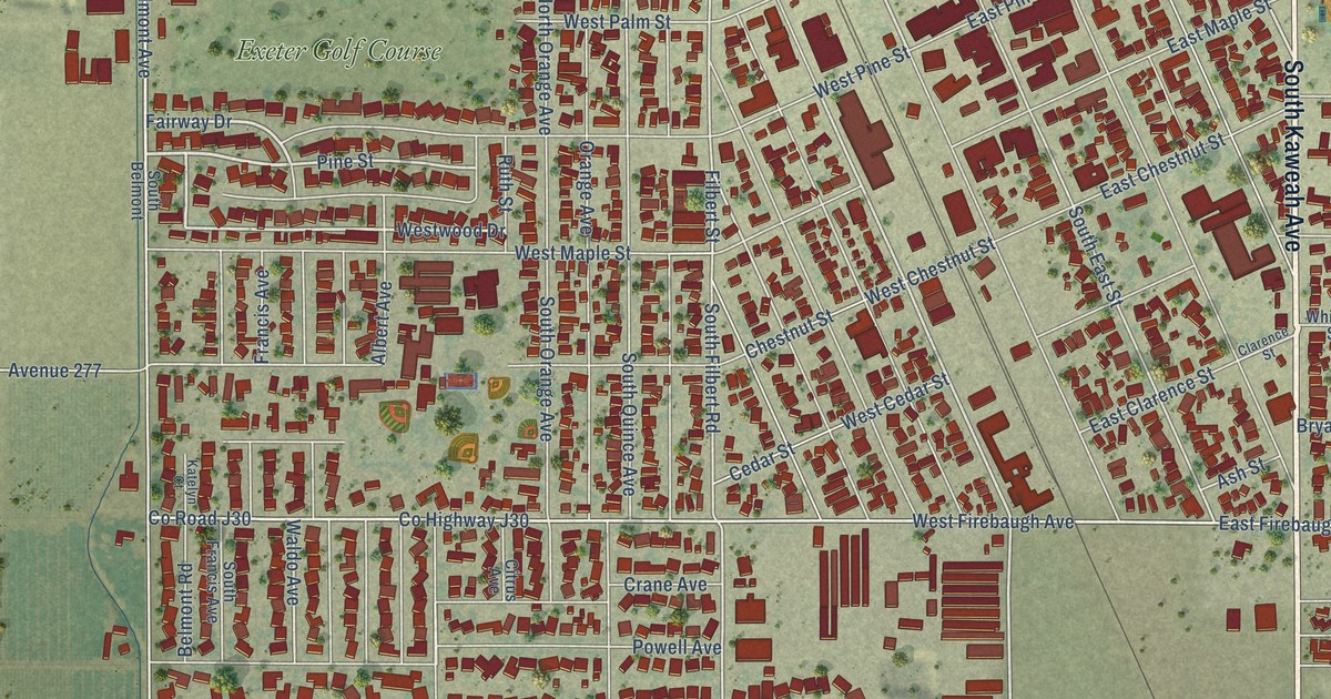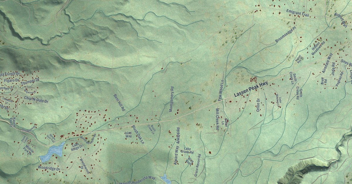
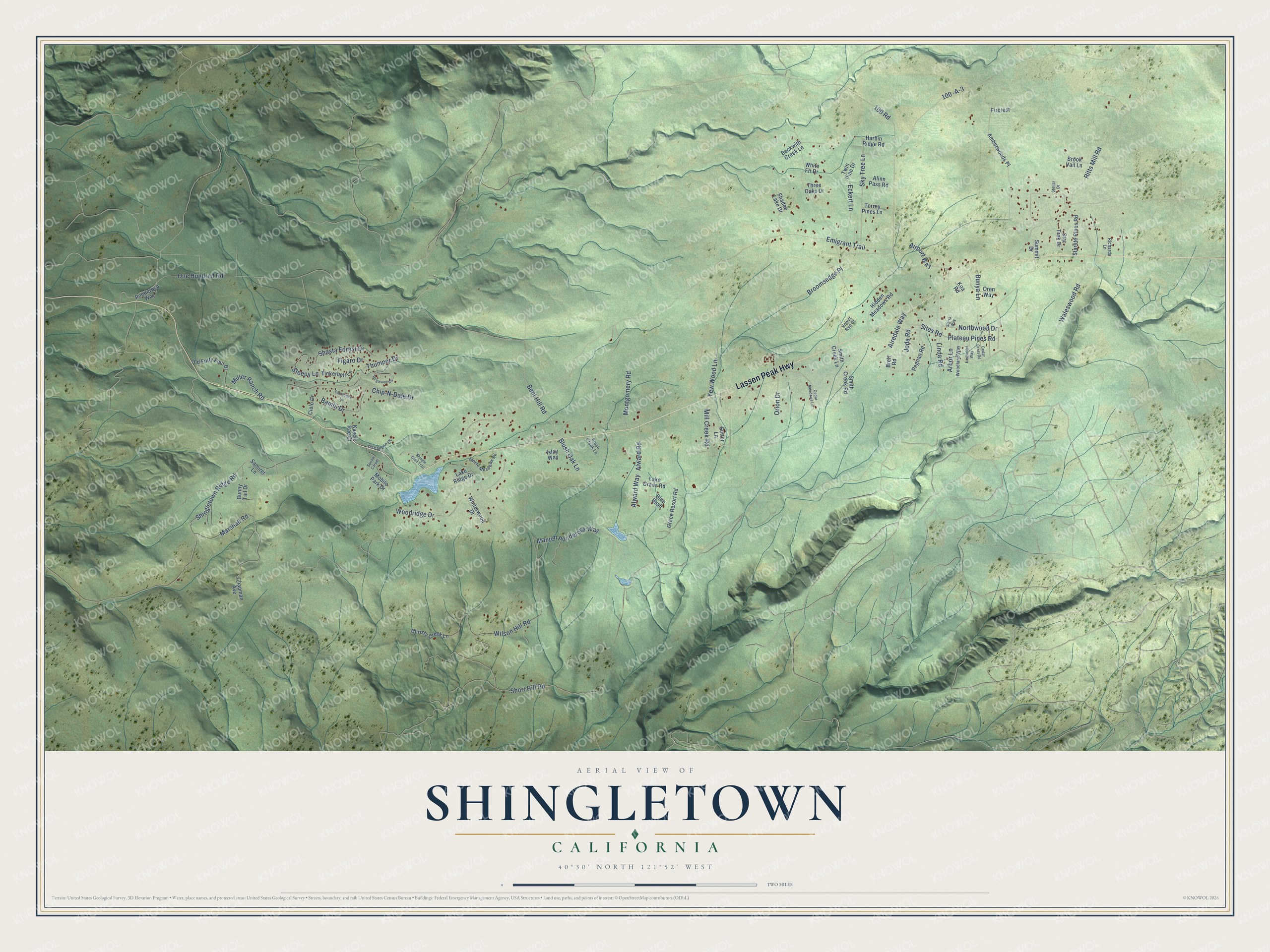
This beautifully detailed map of Shingletown, California was created in 2026 using aerial imagery combined with modern topographical, census, street and landmark data. It's a modern aerial view of Shingletown in Shasta County, California, that combines modern data with a vintage aesthetic. The roads feature printed names, and if you look closely you can find your exact house accurately shown in its correct location.
Explore an aerial view of Shingletown, California
On this map you'll find Lassen Peak Highway, One Hundred Road, Bent Hill Road, Blush Oak Lane, Alward Road, Alward Way, Sleepy Lane, Sites Road, Emigrant Trail, Manton Ponderosa Way, Ritts Mill Road, Wilson Hill Road, and more. Each red shape is a building, so zoom in on the preview and look for yours.
Shingletown has a story worth telling. The Trails West emigrant trail marker puts it this way: "The two branches of the Nobles Trail rejoined near Shingletown and continued westward to Shasta City. Shingletown was named after the numerous shingle mills in the area."
Shingletown is a community in Shasta County. The Census Bureau counted 2,442 people here in 2020.
Take a closer look at the Shingletown map
Names on this map
These names are printed on this map.
Streets and roads: Lassen Peak Highway, One Hundred Road, Bent Hill Road, Blush Oak Lane, Alward Road, Alward Way, Sleepy Lane, Sites Road, Emigrant Trail, Manton Ponderosa Way, Ritts Mill Road, Wilson Hill Road.
More street names, A to Z
100 -A-3, 100 Road, Airedale Way, Airport Way, Alinn Pass Road, Alpine Meadows Road, Amberwoods Place, Arbor Lane, Bambi Drive, Beckwith Creek Lane, Blue Bush, Brett Road, Brook Vail Lane, Broomsedge Place, Brush Creek Lane, Bunny Tail Drive, Bunya Lane, Cedar Crest Road, Cedar Meadows Lane, Chapman Avenue, Chip-N-Dale Drive, Christy Creek Lane, Cielo Drive, Clarabelle Lane, Dogwood Circle, Eastwood Way, Eckert Lane, Figaro Drive, Fircrest, Grace Resort Road, Harbin Ridge Road, Hidden Meadows Road, Islay Way, Joda Road, Kaycie Rae Court, Koa Road, Lake Grace Road, Lake Ridge Drive, Linda Road, Lisa Glenn Court, Marshall Road, Mill Creek Road, Miller Ranch Road, Mobile Park Drive, Montgomery Road, Northwood Drive, Old Forty Four Drive, Oren Way, Orion Drive, Pegnan Road, Plateau Pines Road, Ponderosa Way, Richards Lane, Samiret Lane, Shadee Lake Drive, Shasta Forest Drive, Shingle Glen Trail, Shingletown Ridge Road, Short Hill Road, Sierra Way, Sky Tree Lane, Smith Creek Lane, Smith Creek Road, Starlite Pines Road, Star Trek Drive, Stellar Drive, Summit Drive, Sutter Lane, Three Oaks Drive, Thumper Drive, Tinkerbell Lane, Torrey Pines Lane, Twin Pine Drive, Velvet Rye Court, Waleswood Road, White Fir Drive, Winterwood Drive, Woodland Way, Woodridge Drive, Yew Wood Lane.
See it on a wall
The Shingletown map as a framed print. Swipe for more.


Created by KNOWOL in 2026. The buildings are small red shapes, the roads carry their printed names, and shaded relief shows the shape of the land. The title panel reads "AERIAL VIEW OF SHINGLETOWN, CALIFORNIA" with 40°30' NORTH 121°52' WEST.
It looks right in a kitchen, an office or a den, and it's a gift for anyone who grew up in Shingletown or moved away. Open the preview and find your street. See sizes and frames for the Shingletown map.