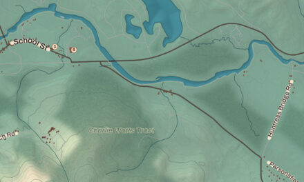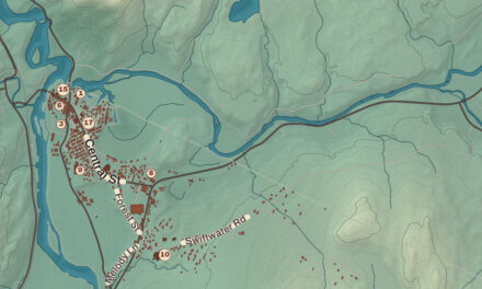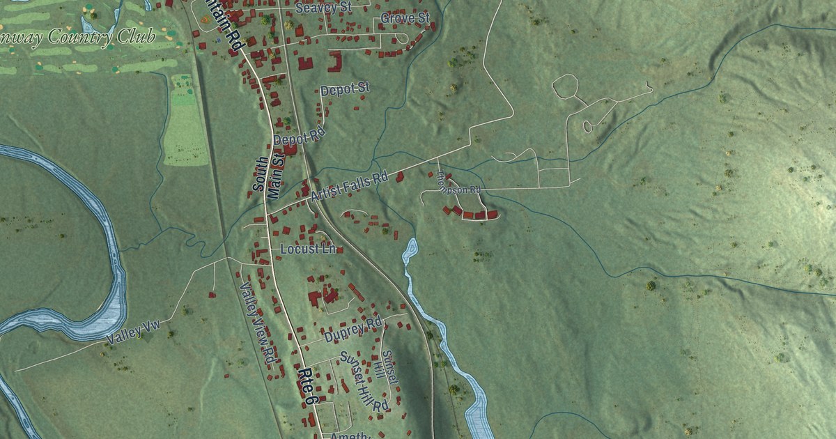
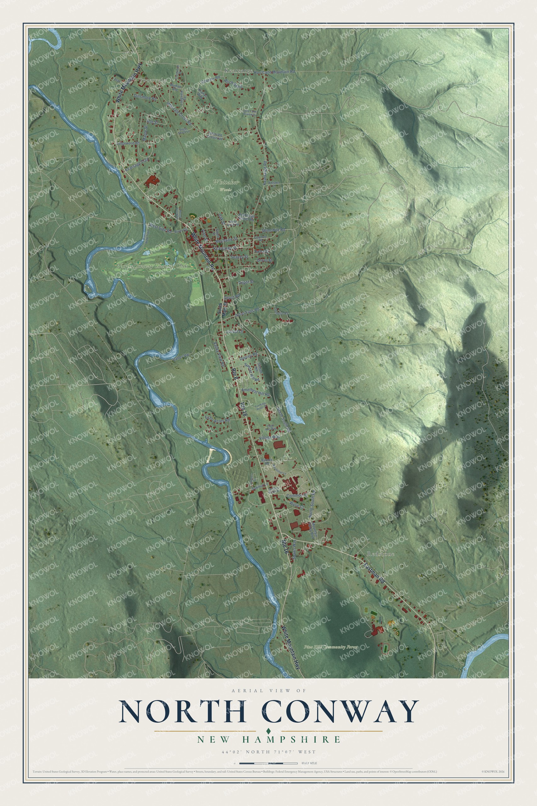
This beautifully detailed map of North Conway, New Hampshire was created in 2026 using aerial imagery combined with modern topographical, census, street and landmark data. It’s a one-of-a-kind view of North Conway that combines accurate data with a vintage aesthetic. The map shows every building in its true location, many of the roads carry their names, and the shaded topographic relief shows the shape of the land.
Explore an aerial view of North Conway, New Hampshire
On the map you’ll find Intervale, Redstone, Pine Hill Community Forest, Whitaker Woods, Kearsarge, and North Conway Country Club, along with White Mountain Highway, White Mountain Road, Eastman Road, Artist Falls Road, Kearsarge Street, Kearsarge Road, and more. North Conway sits about 9 miles east of Bartlett, 20 miles north of Center Ossipee and 22 miles northeast of Center Sandwich. If you look closely you can even find your house accurately drawn in its correct location. Zoom in on the preview to look for yours.
Take a closer look at the North Conway map
Names on this map
These names are printed on this map.
Places: Intervale, Redstone, Pine Hill Community Forest, Whitaker Woods, Kearsarge and North Conway Country Club.
Streets and roads: White Mountain Highway, Route 16, Route 6, White Mountain Road, Eastman Road, Artist Falls Road, Kearsarge Street, Kearsarge Road, Depot Road, Wylie Court, Common Court, Ash Street.
More street names, A to Z
Amethyst Hill Road, Barnes Road, Birch Bend, Carol Ann Way, Country Road, Cranmore Road, Crawford Hollow, Crestwood Drive, Depot Street, Dinsmore Road, Duprey Road, Echo Acres Road, Fox Ridge Resort Drive, Grove Street, Hurricane Mountain Road, Intervale Cross Road, Intervale Crossroad, Kearsage Trail, Kearsarge Woods Road, Kianas Way, Ledgewood Road, Little Farm Driveway, Locust Lane, Longview Terrace, Macmillan Lane, Maple Street, Mechanic Street, Mountain Valley Boulevard, North-South Road, North South Road, O'Keefe's Circle, Oak Street, Patton Court, Pine Street, Prdr, River Road, River Walk Trail, Sawmill Lane, Seavey Street, Settlers Green Drive, Shaws Way, Skimobile Road, South Main Street, Sugar Shack Lane, Sunset Hill, Sunset Hill Road, Swett Street, Thompson Road, Valley View Road, Valley Vw, Village Way, West Side Road, Whitaker Lane, White Horse Road, Wyman Avenue.
See it on a wall
The North Conway map as a framed print. Swipe for more.


This beautifully detailed map of North Conway makes an attractive addition to your office, library, or den, and it can even be used to teach children the geography and history of the area. It also makes a great gift for anyone who grew up in North Conway or moved away. When you’re done exploring, click here to get your copy of the North Conway map.