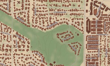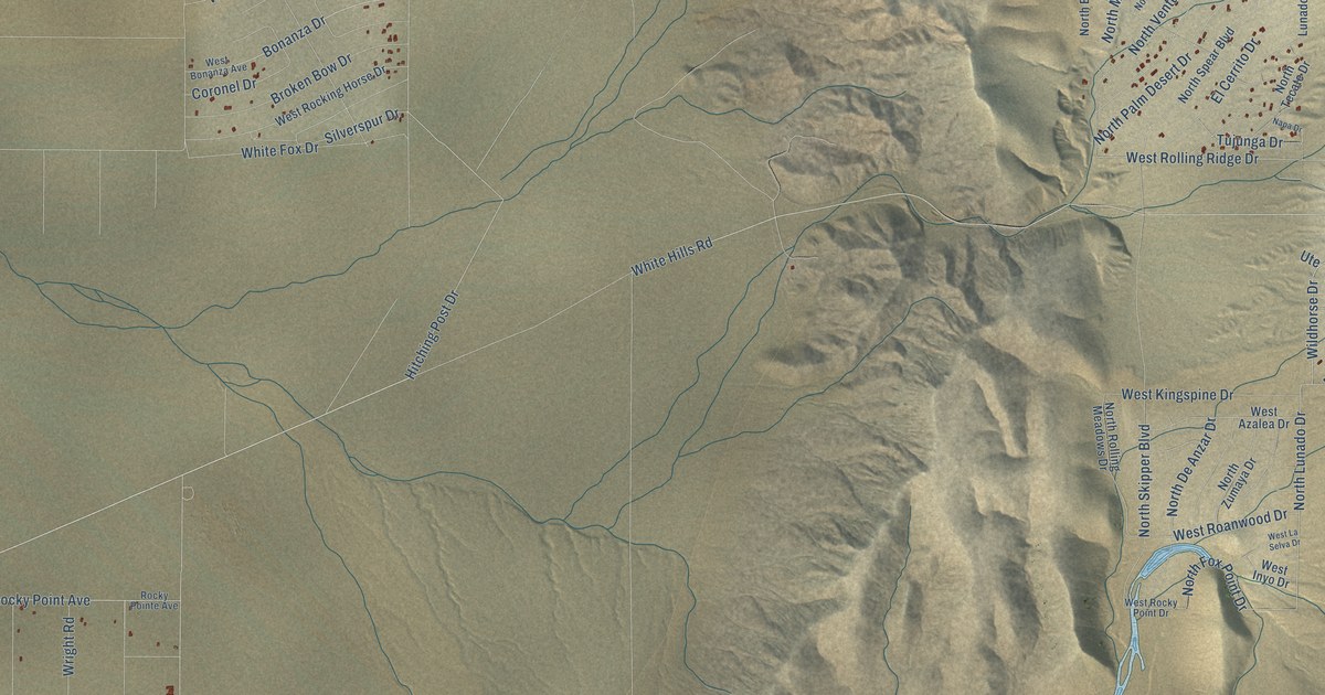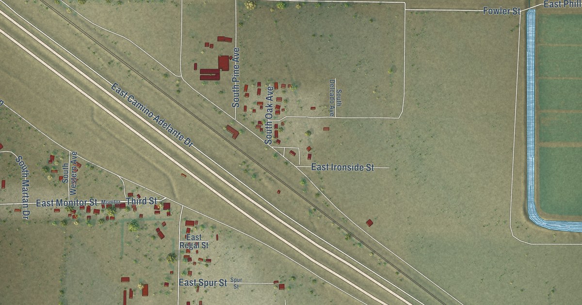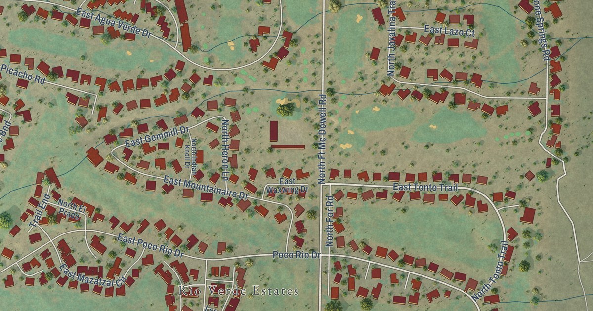
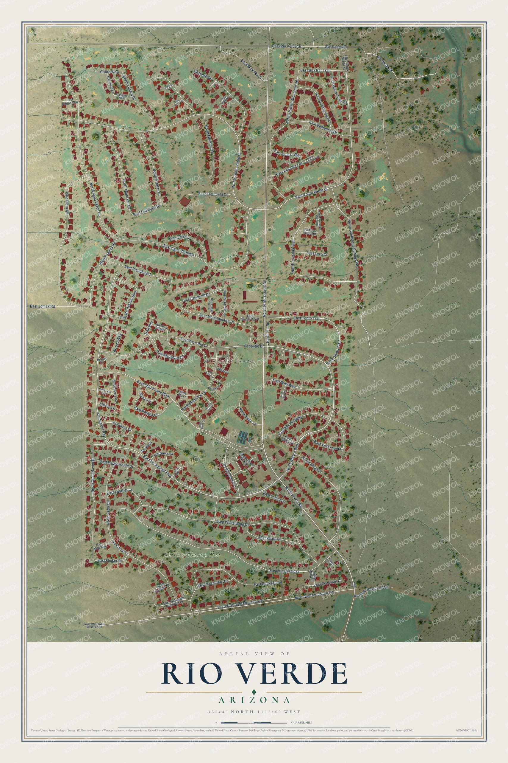
This beautifully detailed map of Rio Verde, Arizona was created in 2026 using aerial imagery combined with modern topographical, census, street and landmark data. It’s a one-of-a-kind view of Rio Verde that combines accurate data with a vintage aesthetic. The map shows every building in its true location, many of the roads carry their names, and the shaded topographic relief shows the shape of the land.
Explore an aerial view of Rio Verde, Arizona
On the map you’ll find Rio Verde Estates, Rio Verde Country Club, North Bolero Bnd, East Avenue del Ray, and Avenue del Ray, along with North Forest Road, East Tonto Trail, North Tonto Trail, North Ft Mc Dowell Road, East Poco Rio Drive, Poco Rio Drive, North Sandstone Springs Road, and more. Rio Verde sits about 9 miles northeast of Fountain Hills, 11 miles east of Scottsdale and 15 miles southeast of Carefree. If you look closely you can even find your house accurately drawn in its correct location. Zoom in on the preview to look for yours.
Take a closer look at the Rio Verde map
Names on this map
These names are printed on this map.
Places: Rio Verde Estates and Rio Verde Country Club.
Streets and roads: North Forest Road, East Tonto Trail, North Tonto Trail, North Ft Mc Dowell Road, North Bolero Bnd, East Avenue del Ray, Avenue del Ray, East Poco Rio Drive, Poco Rio Drive, North Sandstone Springs Road, McDowell Mountain Road, East Tonto Verde Drive.
More street names, A to Z
Amarado Circle, Arroyo Way, Cobre Way, Cordova Lane, Desierto Drive, Desoto Lane, East Abajo Drive, East Adobe Circle, East Adobe Way, East Agua Verde Drive, East Aloe Way, East Alondra Way, East Amethyst Court, East Amethyst Drive, East Blue Sky Drive, East Box Bar Trail, East Buckskin Court, East Buckskin Drive, East Eaglenest Drive, East El Circulo Drive, East Flicker Drive, East Four Peaks Boulevard, East Gemmill Drive, East Horseshoe Bnd, East Ironwood Circle, East Jomax Road, East Latigo Lane, East Lazo Court, East Leather Lane, East Los Picos Road, East Mazatzal Circle, East McDowell Mountain Drive, East Mescalero Drive, East Mountainaire Drive, East Parada Circle, East Paseo Verde Drive, East Picacho Road, East Quartz Way, East Quintana Drive, East Reata Drive, East Rio Lane, East Rio Verde Drive, East Tonto Verde Court, East Via Esquina, East Via Hermosa, East Via Laguna, East Waxwing Drive, East White Wing Drive, East Wiki Way, El Cortez Drive, Forest Road, Hierro Circle, Loma Vis, North Abajo Drive, North Agave Road, North Agua Verde Drive, North Aguila Road, North Azatlan Drive, North Bravo Lane, North Chinle Drive, North Danny Lane, North Diablo Lane, North El Prado, North For Road, North Ft McDowell Road, North Granite Mountain Road, North Green River Lane, North Heron Lane, North Indian Knoll Drive, North Javalina Trail, North Lago Lane, North Lucero Drive, North McDowell Mountain Road, North Medelice Lane, North Montana Drive, North Pommel Drive, North Primo Circle, North Puma Circle, North Quail Haven Drive, North Quail Spring Road, North Quintana Drive, North Sierra Vereda, North Sierra Vis, North Sycamore Creek Road, North Tonto Verde Drive, North Vada Court, North Vado Court, North Walnut Creek Road, Palo Fiero Road, Poco Vis, Puma Circle, Rio Verde Drive, Stirrup Lane, Svc Road 20, Trail End, Tranquilo Lane, Tranquilo Way, White Wing Drive.
See it on a wall
The Rio Verde map as a framed print. Swipe for more.


This beautifully detailed map of Rio Verde makes an attractive addition to your office, library, or den, and it can even be used to teach children the geography and history of the area. It also makes a great gift for someone who left Rio Verde and still calls it home. When you’re done exploring, click here to get your copy of the Rio Verde map.