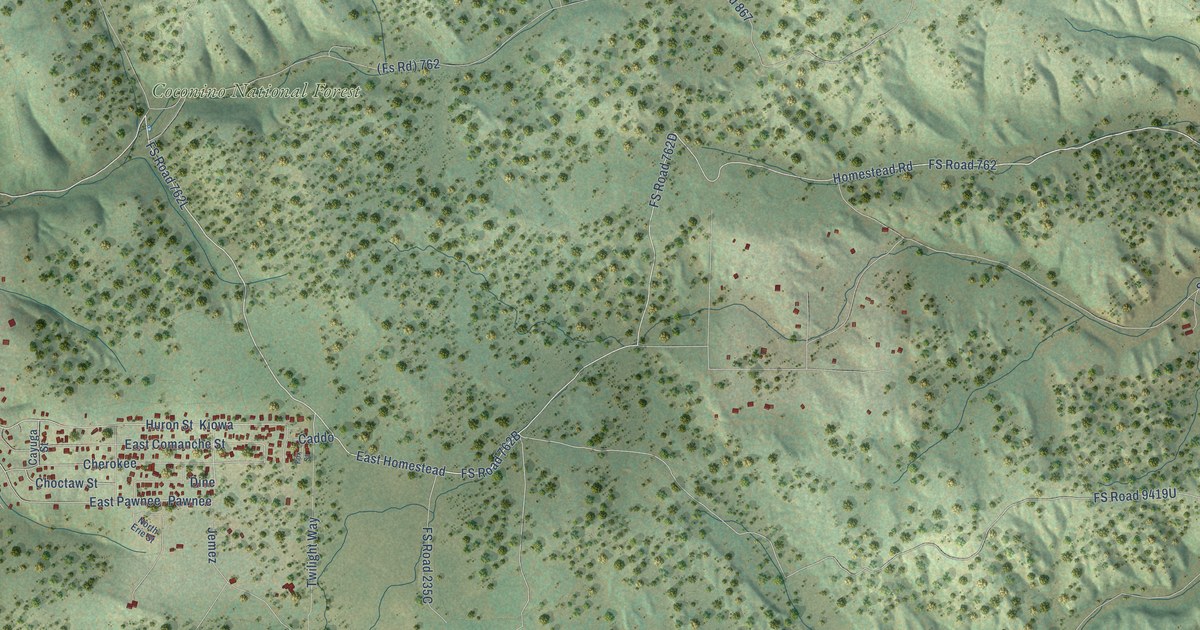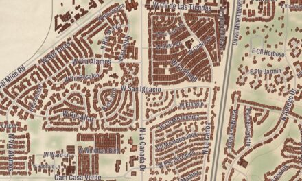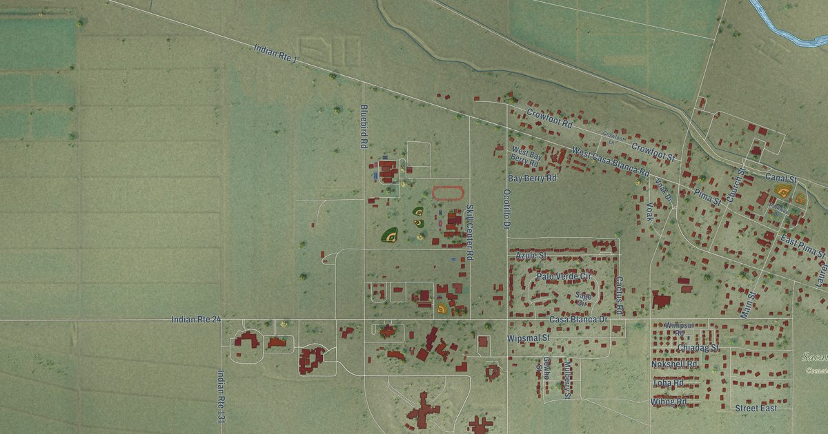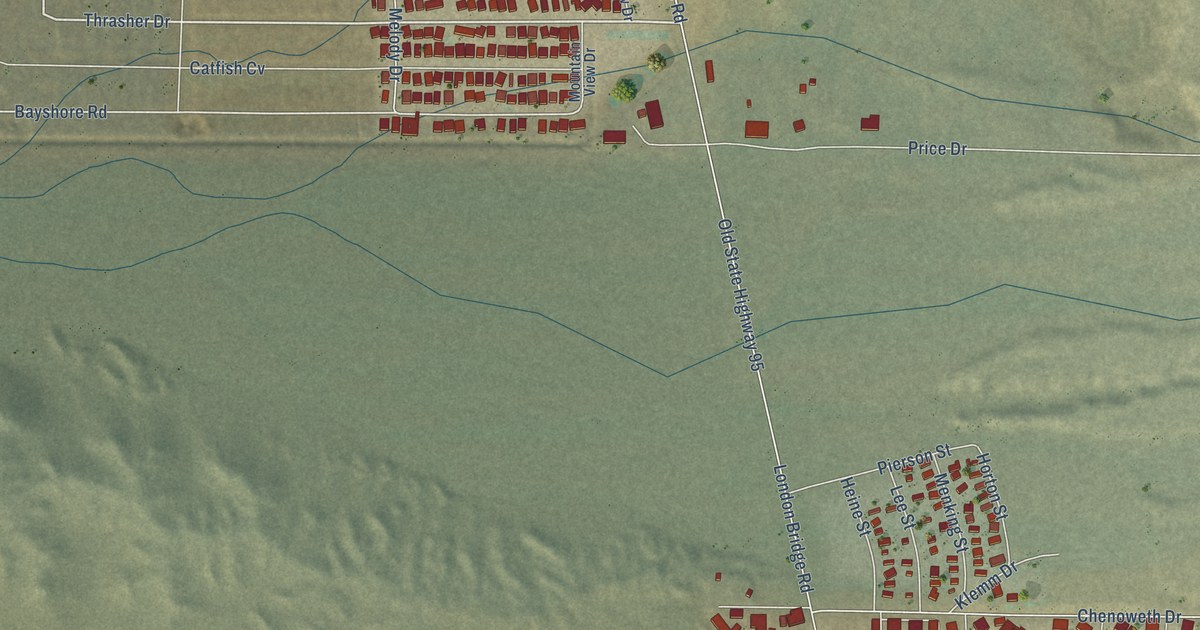
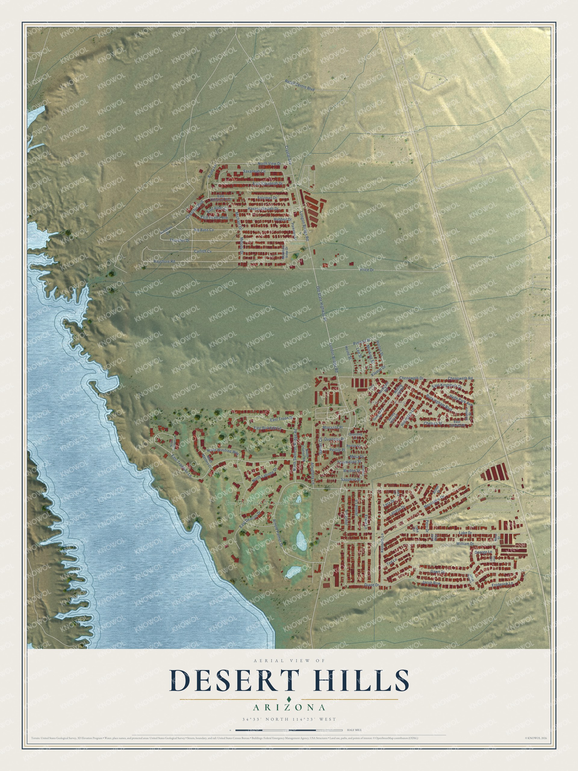
This beautifully detailed map of Desert Hills, Arizona was created in 2026 using aerial imagery combined with modern topographical, census, street and landmark data. It's a modern aerial view of Desert Hills in Mohave County, Arizona, that combines modern data with a vintage aesthetic. The roads feature printed names, and if you look closely you can find your exact house accurately shown in its correct location.
Explore an aerial view of Desert Hills, Arizona
On this map you'll find Jops Landing, Iron Wolf Golf & Country Club, Chestnut Boulevard, Thrasher Drive, Arnold Palmer Drive, East Tradition Lane, Monazite Place, Chelsea Street, Brody Lane, Longon Bridge Road, North Swilican Bridge Road, Diane Drive, and more. Each red shape is a building, so zoom in on the preview and look for yours.
Desert Hills is a community in Mohave County. The Census Bureau counted 2,764 people here in 2020. Desert Hills sits about 2 miles southeast of Crystal Beach, 5 miles northwest of Lake Havasu City and 13 miles southeast of Topock. The map prints the town name in its title panel, with the coordinates below it.
Take a closer look at the Desert Hills map
Names on this map
These names are printed on this map.
Places: Jops Landing and Iron Wolf Golf & Country Club.
Streets and roads: Chestnut Boulevard, Thrasher Drive, Arnold Palmer Drive, East Tradition Lane, Monazite Place, Chelsea Street, Brody Lane, Longon Bridge Road, North Swilican Bridge Road, Diane Drive, Bayshore Road, Folzman Drive.
More street names, A to Z
Allegheny Lane, Arthur Drive, Big Bass Cv, Bryden Street, Buckingham Boulevard, Catfish Cv, Chenoweth Drive, Chenoweth Road, Crystal Avenue, Dawn Drive, Dawn Way, Drury Lane, East Alder Circle, East Azalea Avenue, East Birkdale Lane, East Chelsea Street, East Chestnut Boulevard, East Deacon Drive, East Kingsbury Drive, East Savannah Drive, East Troon Drive, Erwin Lane, Frederick Lane, Garnet Circle, George Lane, Grelle Drive, Havasu Garden Drive, Heine Street, Hillington Lane, Horton Street, Hubbell Drive, Hyde Park Avenue, Jacob Row, Jacob Row Lane, Jennie Lane, Joyce Lane, Kenneth Lane, Klemm Drive, Lake Circle, Lake Drive, Lake Way, Latrelle Drive, Lee Street, Lera Drive, Lera Lane, London Bridge Road, Melody Drive, Menking Street, Mesa Drive, Mescalero Drive, Michael Drive, Mountain View Drive, Nero Street, North Citation Road, Northgate Road, North Latrobe Drive, North Masters Court, North Tradition Lane, North View Drive, North Winifred Way, Notting Hill Road, Old State Highway 95, Parkview Drive, Perlite Lane, Perlite Place, Pero Drive, Pierson Street, Price Drive, Quartzite Lane, Quartzite Place, Queensbury Road, Retail Centre Boulevard, Sapphire Street, Savannah Circle, Stratford Street, Sunshine Drive, Surrey Hills Lane, Ted Lane, Tourmaline Street, William Drive.
See it on a wall
The Desert Hills map as a framed print. Swipe for more.


Created by KNOWOL in 2026. The buildings are small red shapes, the roads carry their printed names, and shaded relief shows the shape of the land. The title panel reads "AERIAL VIEW OF DESERT HILLS, ARIZONA" with 34°33' NORTH 114°23' WEST.
Hang it in the hallway, the office or the cabin, or give it to someone who left Desert Hills and still calls it home. Open the preview and look for a street you know. See sizes and frames for the Desert Hills map.