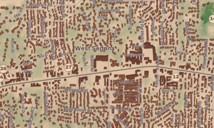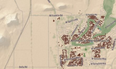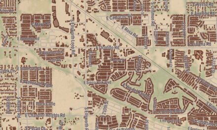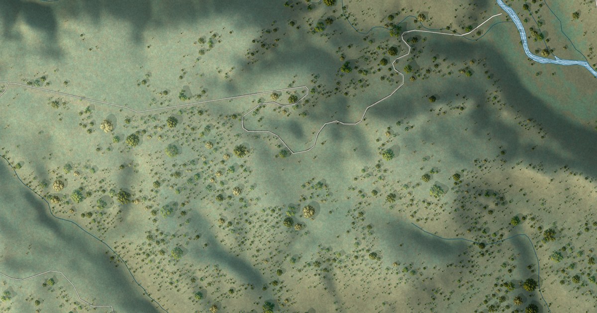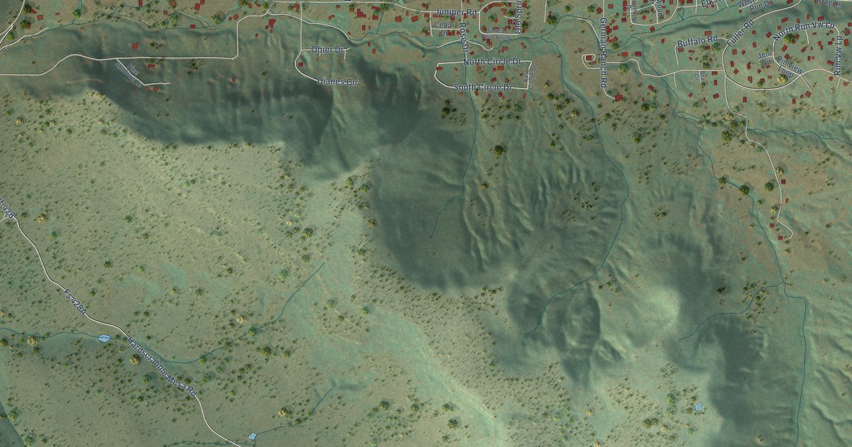
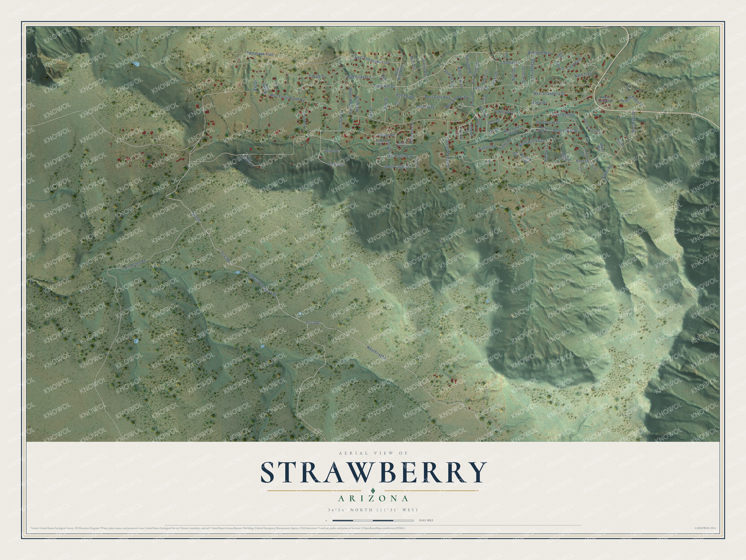
This beautifully detailed map of Strawberry, Arizona was created in 2026 using aerial imagery combined with modern topographical, census, street and landmark data. It’s a one-of-a-kind view of Strawberry that combines accurate data with a vintage aesthetic. The map shows every building in its true location, many of the roads carry their names, and the shaded topographic relief shows the shape of the land.
Explore an aerial view of Strawberry, Arizona
On the map you’ll find West Fr-428A, North Rim Vw Lp, Fs 428A, and Nf-428, along with Tonto Rim Drive, Antelope Drive, Wingfield Way, Rimwood Drive, West Tomahawk Trail, West Dans Highway, Hardscrabble Mesa Road, West Fossil Creek Road, and more. Strawberry sits about 3 miles west of Pine, 8 miles west of Geronimo Estates and 10 miles northwest of East Verde Estates. If you look closely you can even find your house accurately drawn in its correct location. Zoom in on the preview to look for yours.
Take a closer look at the Strawberry map
Names on this map
These names are printed on this map.
Streets and roads: Tonto Rim Drive, Antelope Drive, Wingfield Way, Rimwood Drive, West Tomahawk Trail, West Dans Highway, Hardscrabble Mesa Road, North Rim Vw Lp, West Fossil Creek Road, Nf-428, Ralls Drive, Juniper Road.
More street names, A to Z
Bay Drive, Bear Circle, Bear Trail, Bob's Bend, Bonnie Brae Drive, Bonnie Brae Lane, Buffalo Road, Cedar Drive, Charles Way, Cherrie Cr, Cleonna Drive, Colter Way, Columbine Drive, Coyote Drive, Darlene Circle, Deer Drive, Dianes Circle, Duncan Drive, Eagle Drive, East Circle Drive, Elk Road, Ernies Road, Fernwood Drive, Fossil Creek Lane, Fuller Road, Genes Lane, German Ranch Road, Glen Struan Drive, Healing Pines Lane, Hicks Drive, James Circle, Javalina Way, Jeni Circle, Judy Drive, Judy Lane, Lost Oak Lane, Louthian Lane, Lufkin Drive, Marys Way, Mikes Way, Mule Circle, Nash Drive, Nash Trail, North Bobs Bend, North Circle Drive, North Dime Drive, North Rimwood Road, North Spruce Trail, Oak Drive, Obier Drive, Old Spruce Drive, Parkingson Drive, Peach Lane, Pine Drive, Pine Shadows Lane, Rimview Loop, Rim Vw Lp, Rim Wood Road, Rimwood Road, Rose Drive, Schule Lane, South Circle Drive, Spruce Drive South, Spur Drive, Squirrel Run, Stevens Lane, Strawberry Lane, Tomahawk Trail, Twin Buttes Road, Wagon Wheel Way, Walnut Drive, West Emmas Vw, West Ralls Drive, West Strawberry Drive, West Sumac Drive, West Turkey Run Drive, White Tail Lane, Wild Turkey Lane.
See it on a wall
The Strawberry map as a framed print. Swipe for more.


This beautifully detailed map of Strawberry makes an attractive addition to your office, library, or den, and it can even be used to teach children the geography and history of the area. It also makes a great gift for someone who left Strawberry and still calls it home. When you’re done exploring, click here to get your copy of the Strawberry map.